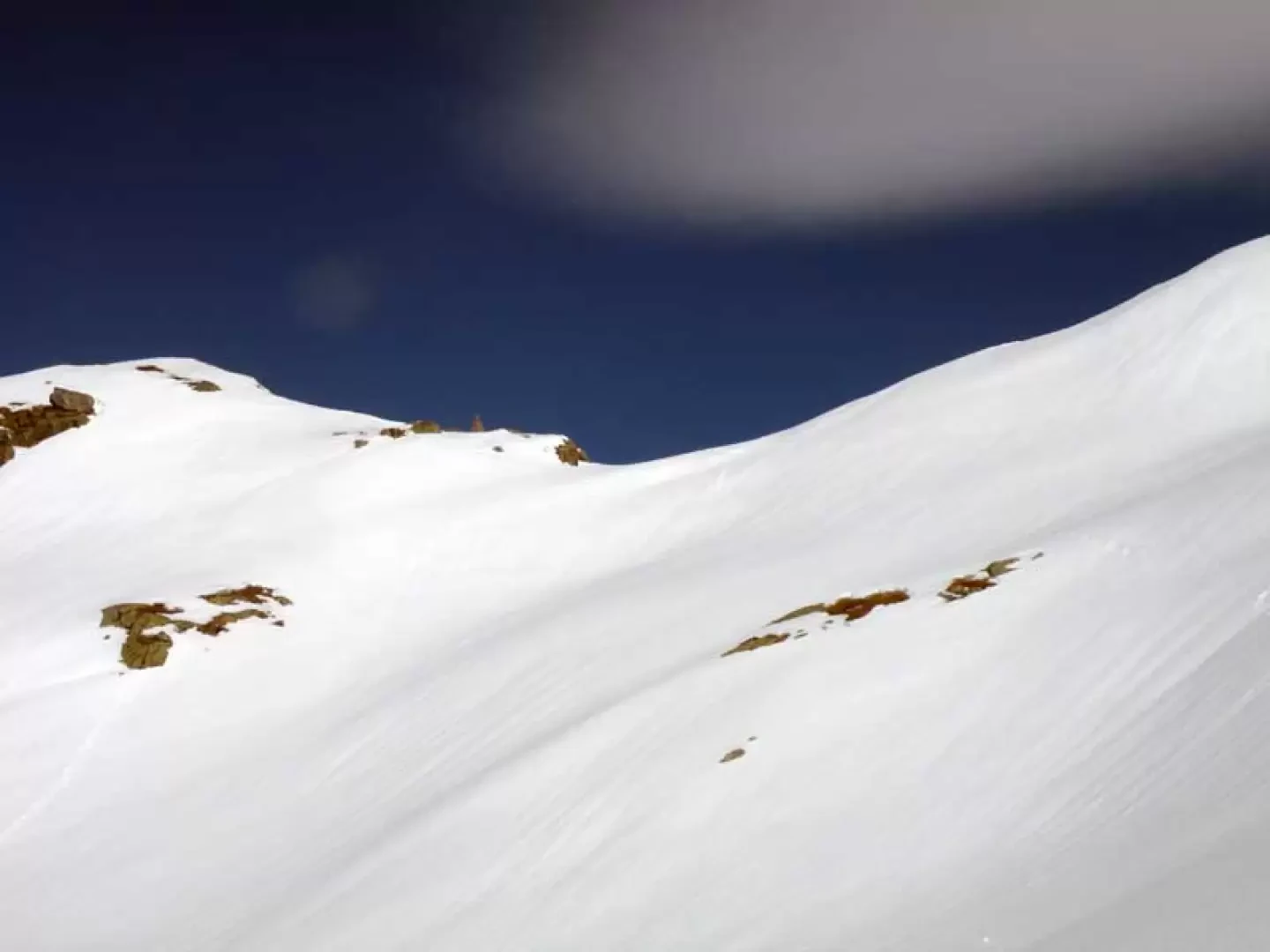
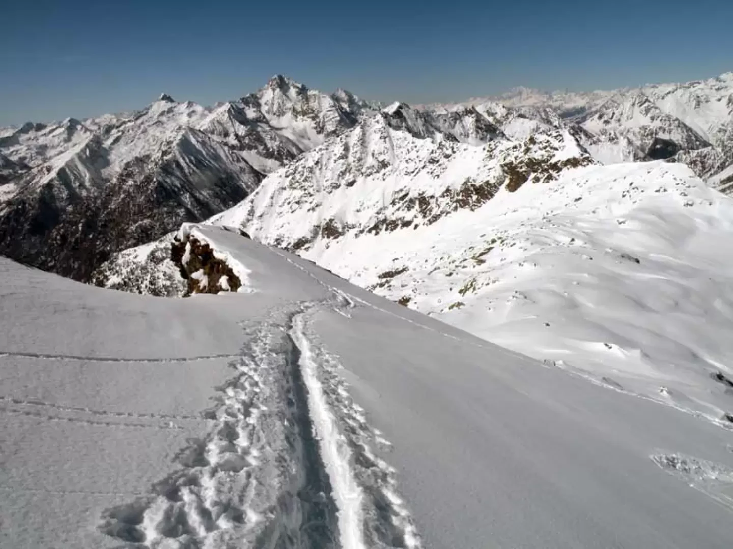
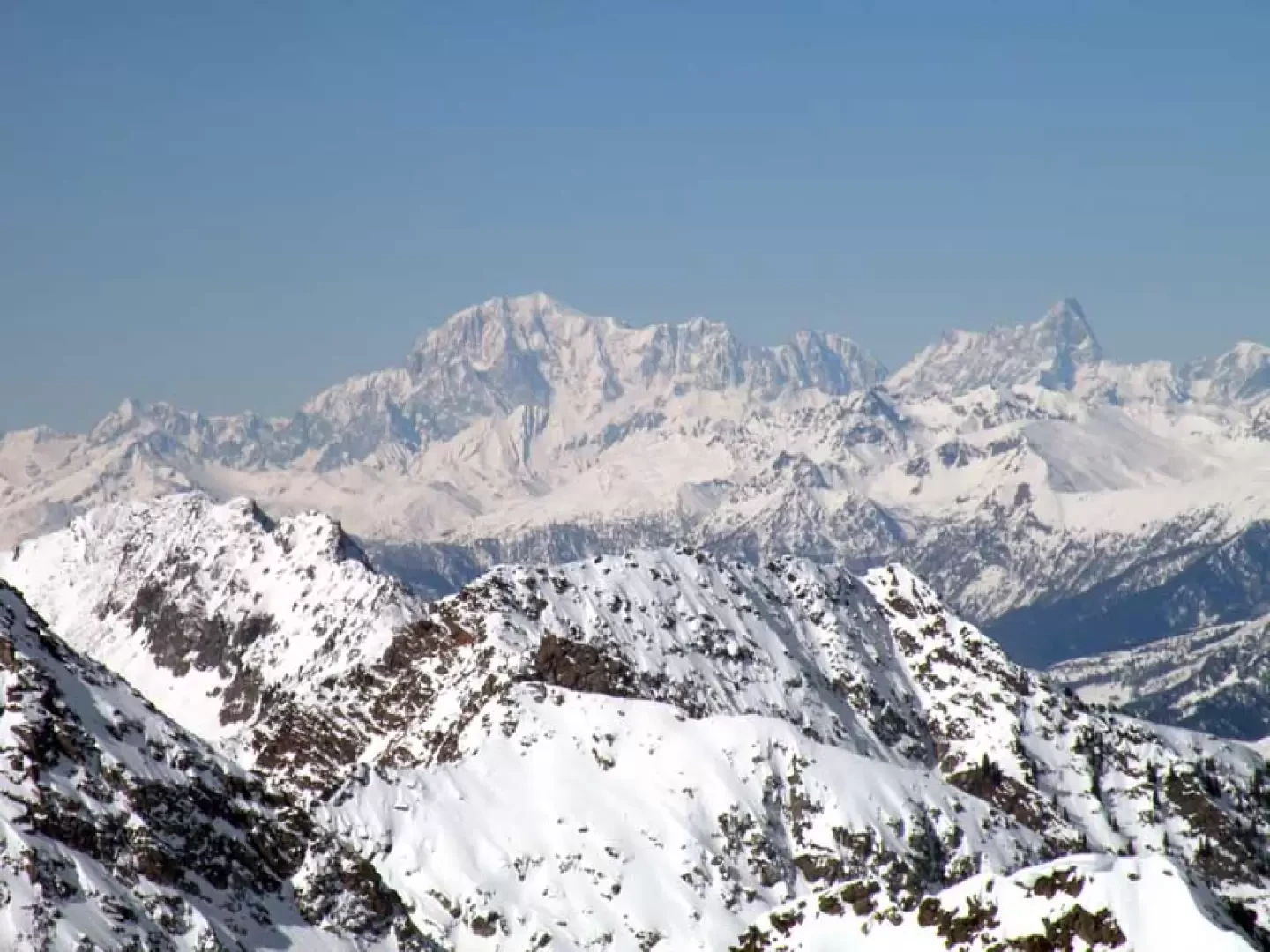
To climb up to the Lazoney peak, you walk along a wide and solitary valley that opens up more and more as you climb higher and at the head of which, in addition to our peak, you can see the Punta Tre Vescovi and the Gemelli from the right. The itinerary described here passes by the Lazoney pass, allowing a scenic approach to the summit while walking along the watershed with the Piedmontese Loo valley. The ascent to the col is, especially from Jatzit onwards and therefore the last 300 metres of altitude difference, very steep and direct so as to avoid the exposed avalanche slopes on the left where the summer trail passes; the gully in the forest is also steep and can cause some problems during its descent in the afternoon hours where, given the altitude, the snow becomes wet and loses consistency. The ski mountaineering track normally passes to the right of the Boudou alpine pasture and reaches the col at 2461 m at the start of the ridge with wide turns, but in order to enhance the excursion with the wide views that can be seen on the ridge from the Lazoney pass to the summit, it is better to reserve this itinerary for the descent. To finish the presentation, we get to talk about the panoramas which, if the day is clear, are simply spatial, stretching from distant Monviso to Mont Blanc, Jorasses, Grand Combin, Matterhorn, Rosa and the whole impressive carpet of peaks on both the Piedmont and Aosta Valley sides: a real feast.
Description
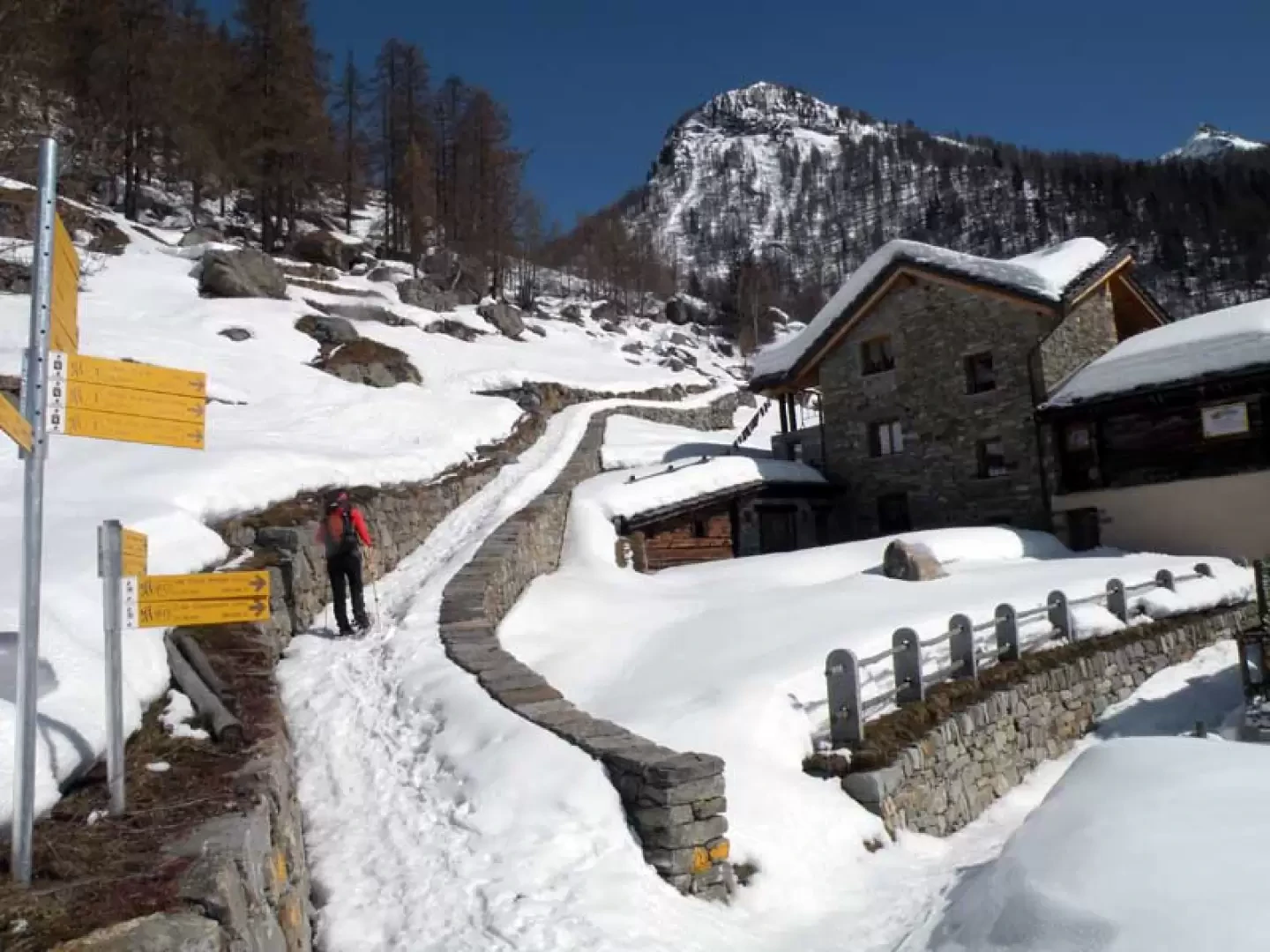
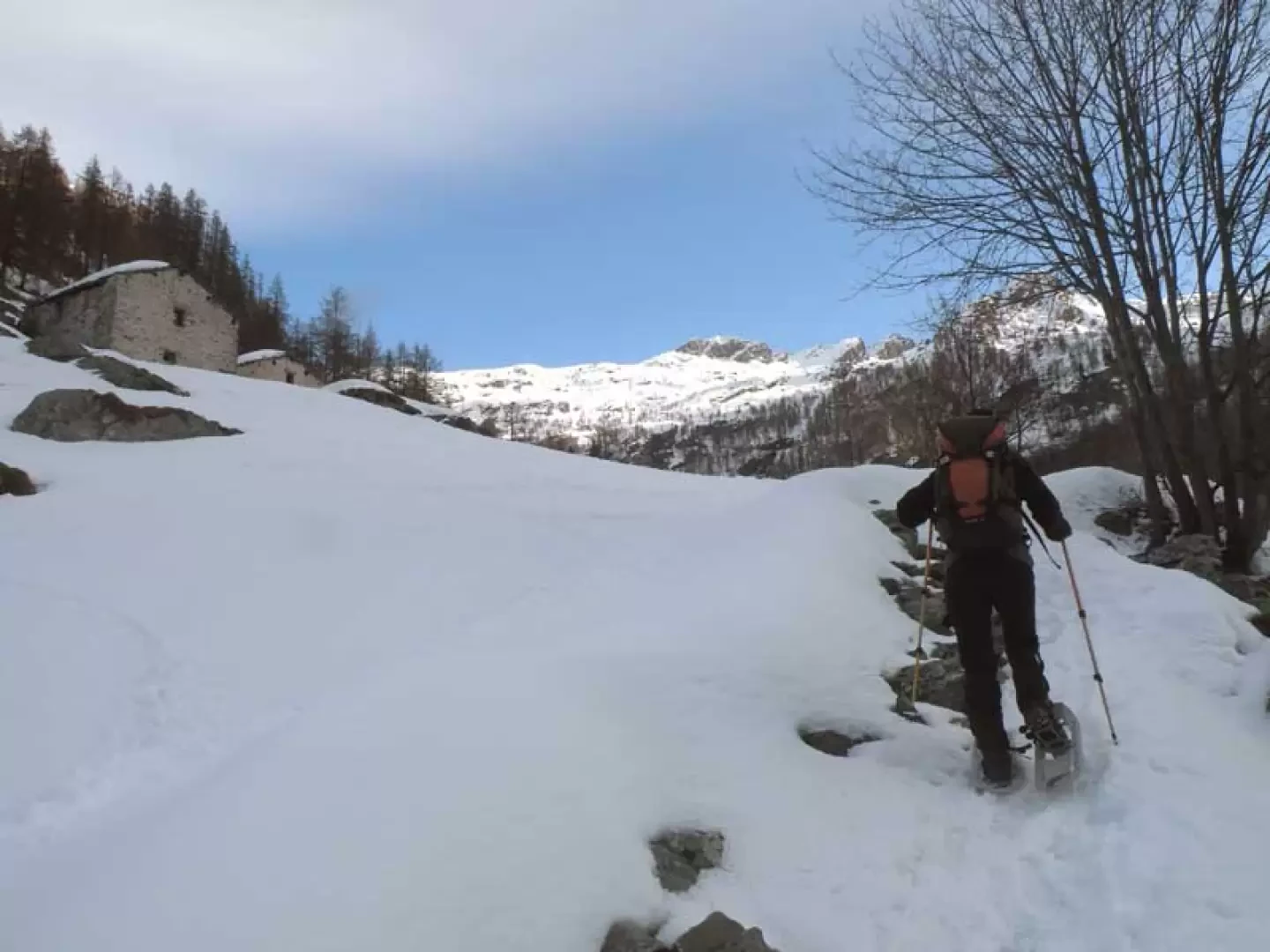
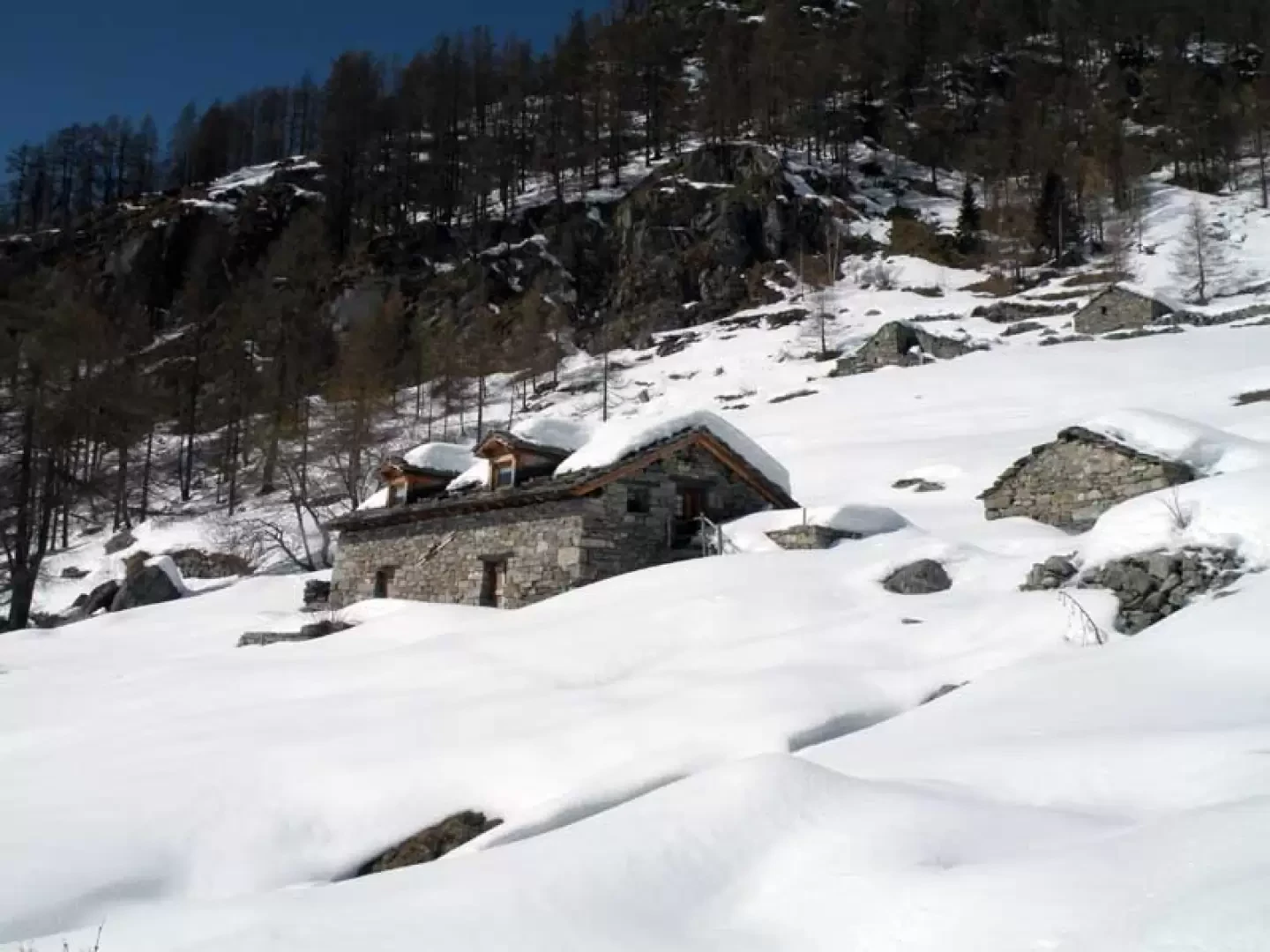
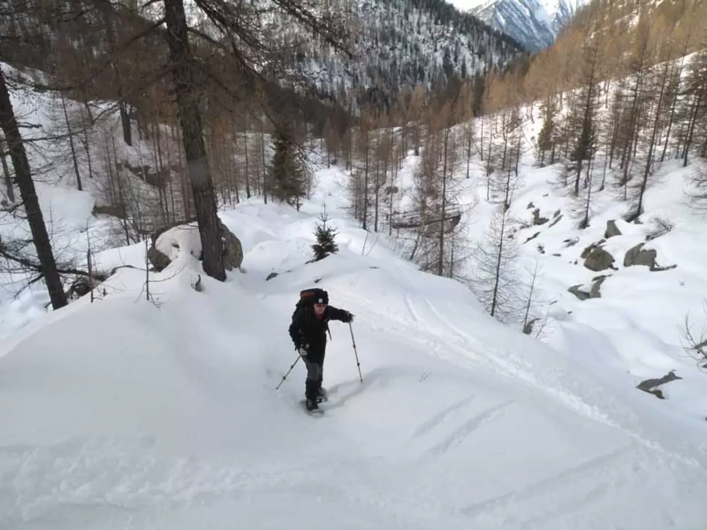
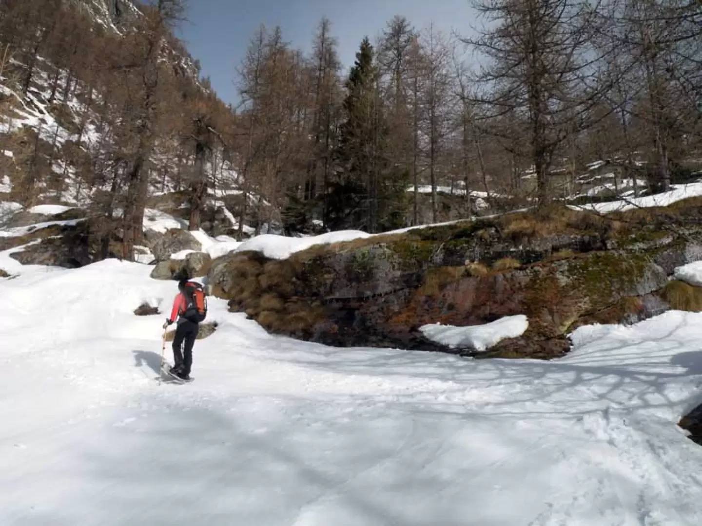
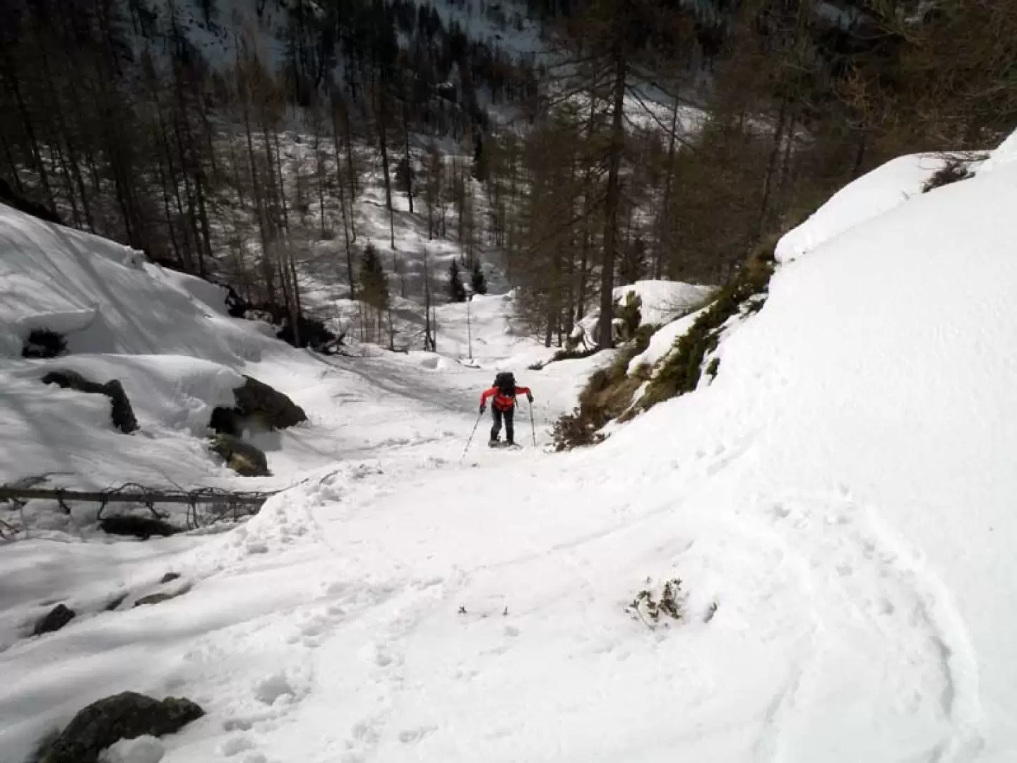
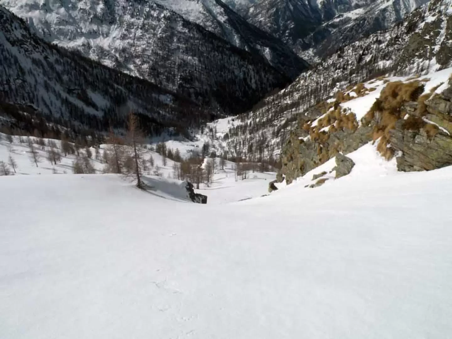
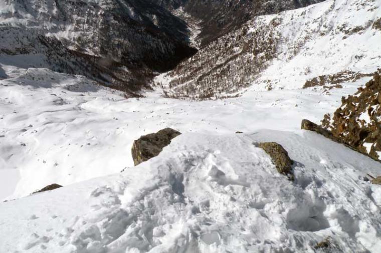
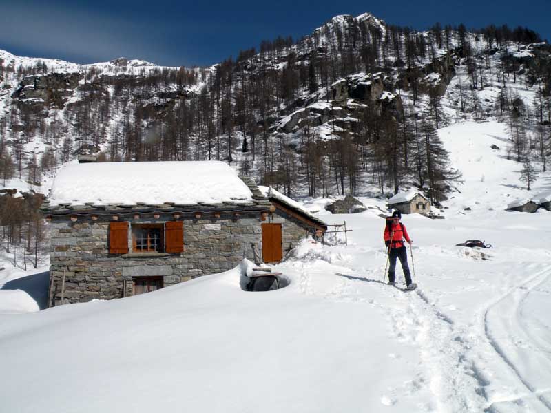
From the last car park, go up the mule track, which is well signposted by wooden posts and signs bearing the number 6 indicating the itinerary to the Lazoney pass. As soon as you start off, leave a track on the right that approaches a hiker's stage point and climb up a steep slope to the left; after passing a ruin, you pass just below the Péiri mountain pasture (1647 m) and, as the slope decreases a little, you arrive at the Stubin Matta huts (1698 m). We continue, walking above the stream flowing on our right, into the sparse woodland, arriving at a small wooden bridge and immediately after some signposts at which we keep to the left without crossing a second small bridge. Now climb more decisively on the bumps of a little-marked mountain rib, arriving under some rocky terraces that we pass first on the left and then go up a steep and fairly long gully; this comes out on the gentler upper slopes where we first find an isolated hut with the signpost "6" on the wall and shortly afterwards the others of the Jatzit mountain pasture (2028 m). Passing them on the left, go up the slope with a few steep hairpin bends and then take, ignoring any ski mountaineers' tracks, a steep chute on the left that leads to the Boudou huts (2165 m): Once you reach them, it is necessary to carefully consider whether it is better to continue to the left on the summer trail, because this passes on very exposed and under-empty slopes, and therefore, aiming to the right of a large and clearly visible cairn of stones located higher up, it is better to directly face the long stretch with very steep slopes-channels that lead not far from the cairn and to the nearby Kiwsull huts. With the slope finally giving some respite, you come in sight of the Lazoney pass (2046 m), which is reached from the right with a gentle traverse. At the pass, looking to the right, you can now see the ascent route to reach our summit and so continue, moving a little to the Piedmont side, on the wide ridge, passing with a few ups and downs between its gentle undulations, reaching a small hill where there is a small stone cairn (2461 m): from here begins the final climb to reach the summit. Remaining on the Piedmontese side on the northern flank you first make a few wide hairpin bends and then, as you get closer to the goal, some narrower ones and, with a few traverses where you have to be careful, you reach the little stone cairn on the summit with a final steep stretch. For the return journey, go back to the col at the end of the ridge and turn left, descending for a first stretch on the vertical until you meet and then, when you reach some huts that you can see in the distance, continue the descent gradually bending to the right and, leaving the Boudou huts on the right a little way off (it is not advisable to reach it otherwise you will have to descend the very steep stretch on the way up) you move gradually to the right again and rejoin the itinerary of the ascent just above Jatzit.
Nelle giornate primaverili la salita conviene effettuarla partendo al mattino un po' presto perchè, vista l'esposizione del pendio finale (sud-est) e della discesa (sud-ovest) la neve si trasforma in fretta; durante la salita è meglio risalire i tratti ripidi sino al colle con la neve ancora dura mentre sulla dorsale dal colle in poi sono presenti accumuli di neve farinosa dove in certi punti si sprofonda molto. Come detto nella relazione non è sicuro salire ripercorrendo la traccia del sentiero estivo perchè i pendii da attreversare sono molto esposti anche se meno ripidi; al limite si può scegliere di seguire la traccia scialpinistica che non passa dal colle Lazoney ma risale sulla destra con pendenze meno accentuate e penso che con traccia da battere con neve fresca o farinosa quest'ultimo sia il tracciato più opportuno.
Il tracciato era battuto da un paio di scialpinisti sino a Jatzit ma oltre, e cioè sino al colle Lazoney e sulla dorsale, battuto traccia sino al colletto prima del pendio finale.
Mi spiace per Stefi che non stava bene e mi accompagnato sino a Jatzit e poi mi ha aspettato al panoramico alpeggio di Schtovela, il quale merita comunque una deviazione di pochi minuti durante la discesa.


Comments (0)
Sign in to leave a comment