Monscera Pass

Introduction
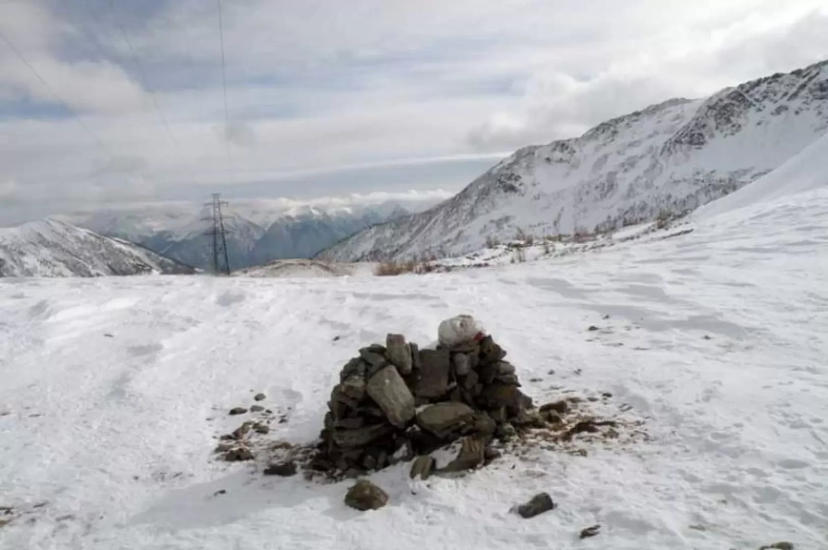
Classic and easy loop tour, also suitable for beginners, which allows you to visit the far end of the Bognanco valley as far as the Swiss border: the route follows an almost always well-trodden path and takes you through the upper Bognanco valley, passing beautiful alpine pastures and two mountain huts. Arriving at the pass, we have before us the spectacle of the Fletschorn, Lagginhorn and Weissmeis massifs, while further to the right we see the Monte Leone massif.
Description
From the car park, go past the little church and you will soon come to a fork signposted by the posts at which you must continue to the right, following the obvious path of the dirt track. At the beginning, the path descends into the evergreen wood with little inclination, losing a few metres in height until it meets a lock near a stream; cross the small bridge and, after a short stretch still on the level, begin the ascent where, at the first hairpin bend, there is a crossroads (1629m) at which you continue left. With a few easy hairpin bends, you soon come in sight of the Arza alpine huts, where the Il Dosso hut (1749m) is also located. Above the huts there is another fork signposted by a small pole (1802m), after which the forest thins out and you come out into open spaces from where the peak, the destination of the excursion, is already clearly visible; the route passes by Alpe Monscera (2022m) and immediately afterwards passes a small signpost to which you continue straight on. Ahead is a small hump topped by a clearly visible cross. Keeping to the right, cross the gentle slopes that descend from the mountainside to reach the beginning of the sparse woodland and soon reach the Gattascosa refuge (1997m), which is already clearly visible from the pass. Continue to descend through snow-covered valleys, quickly losing altitude as you pass a marker post from which, with an almost flat route, you reach a hut used as a bar and a few metres below you return to the junction located at the start.


