Monte Pizzetto, from Bannio


Edited by:
Giancarlo Beretta
Updated at: 03/09/2024
Access
Take the A26 Genoa-Gravellona motorway and exit at Gravellona Toce and, continuing on the dual carriageway to Domodossola, exit at the Pieve Vergonte junction and follow the signs for Macugnaga. Entering the Anzasca Valley, you reach the hamlet of Pontegrande, where you turn left for Bannio Anzino; having reached a crossroads, keep to the right and you reach Bannio, where, after passing through the centre of the village, you continue on to the hamlet of Fontane and park your car in a widening adjacent to it.
.Introduction
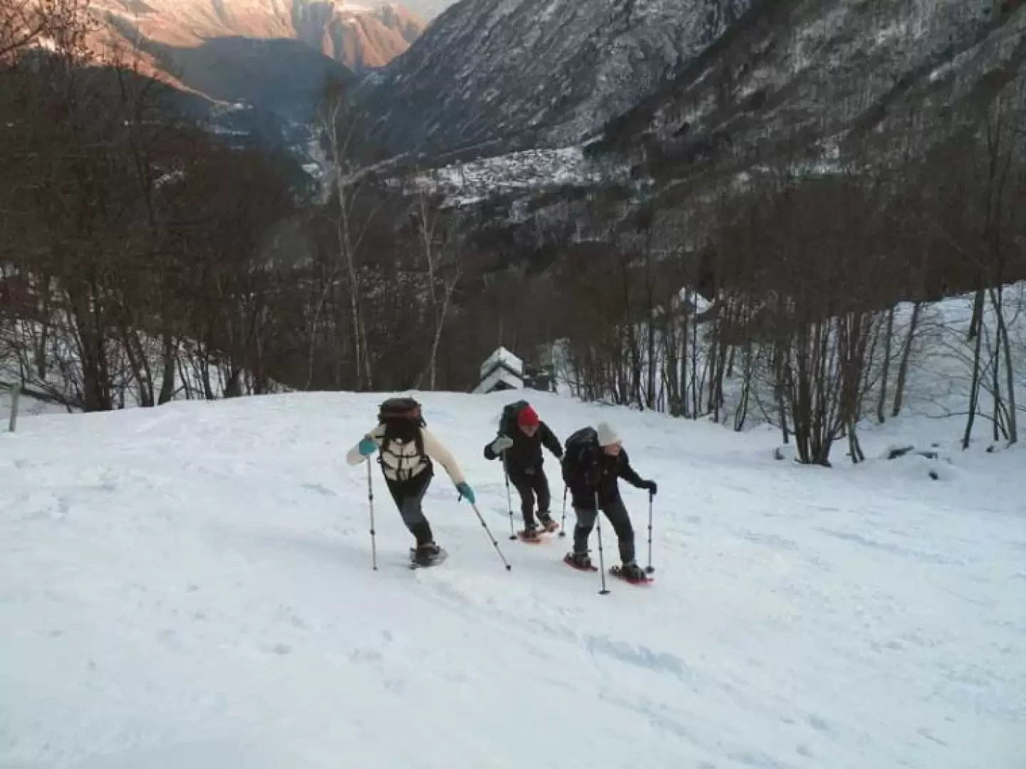
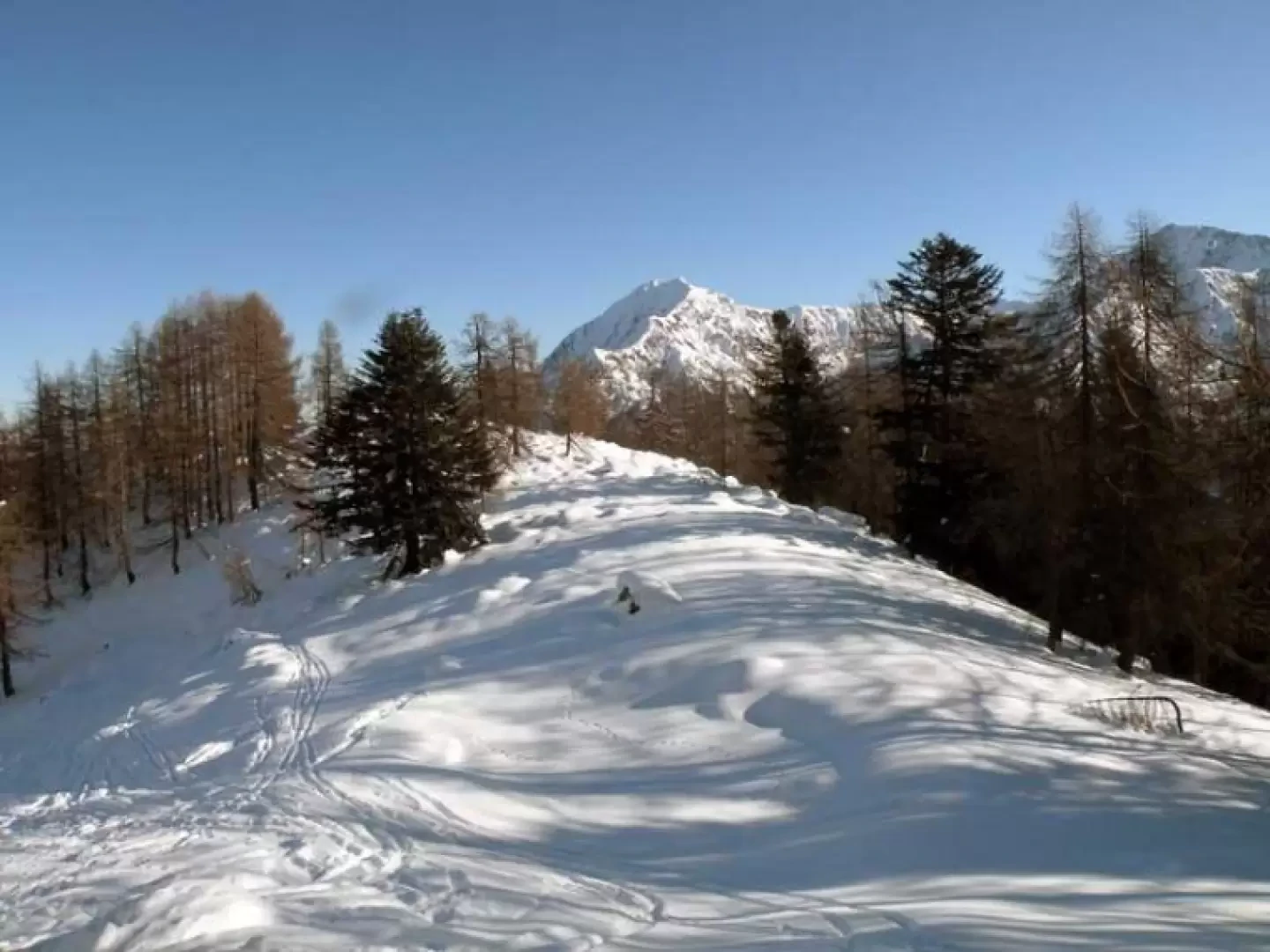
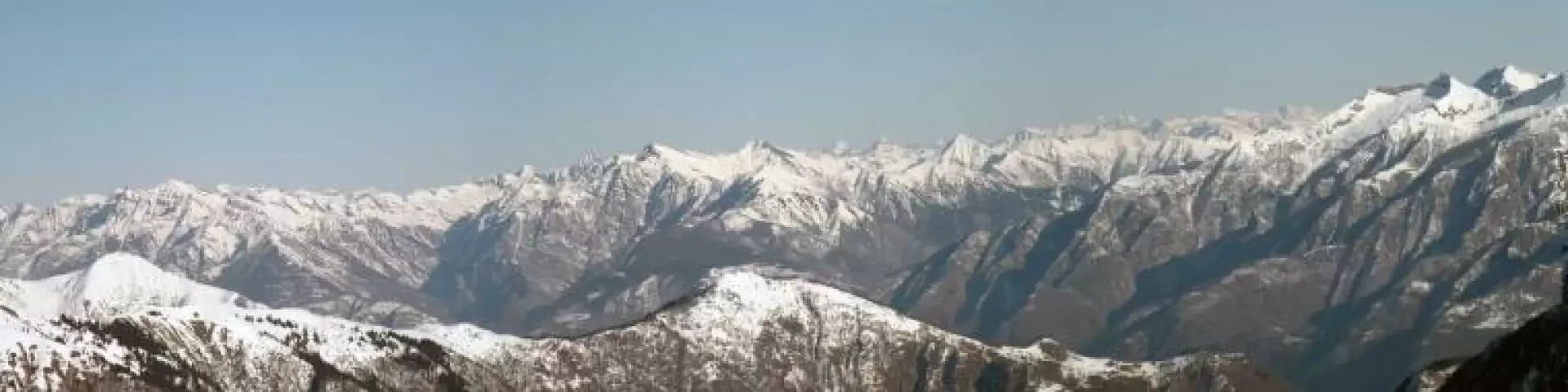
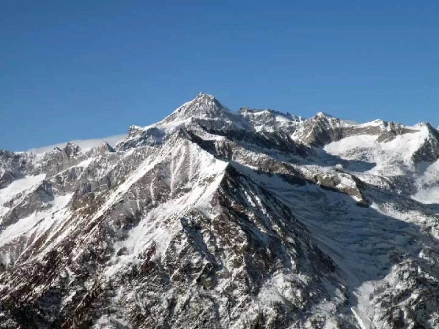
The hike runs entirely along the mountain ridge, where there are many characteristic huts and beautiful views of the Anzasca Valley, the Himalayan east face of Monte Rosa and the other peaks that dominate Macugnaga and the upper Ossola Valley.
.Description
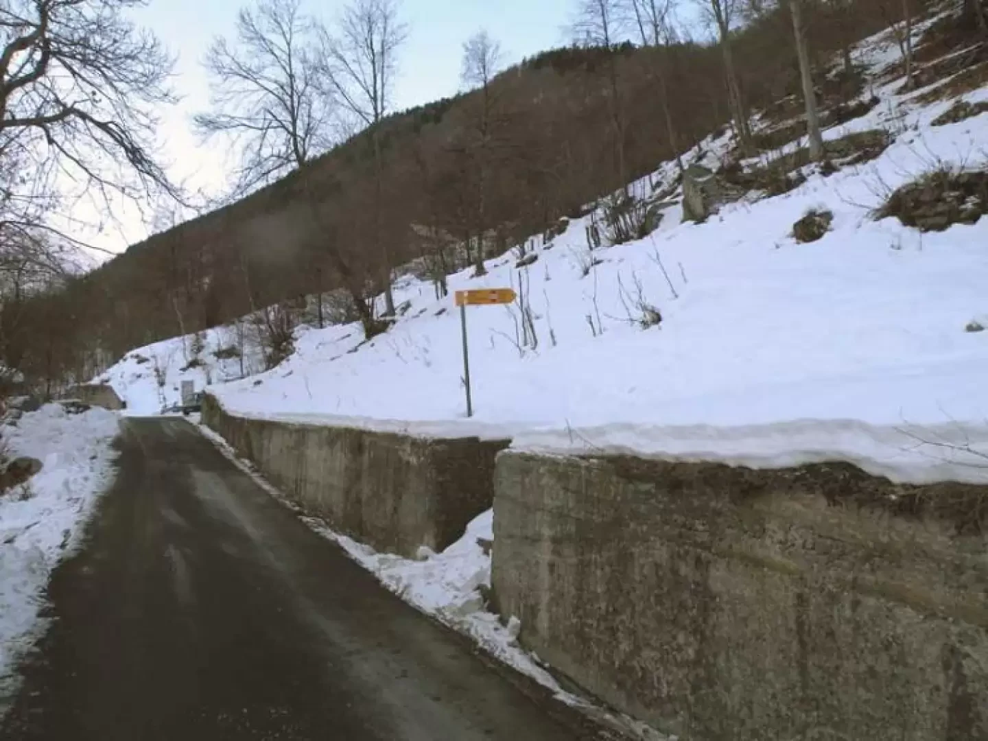
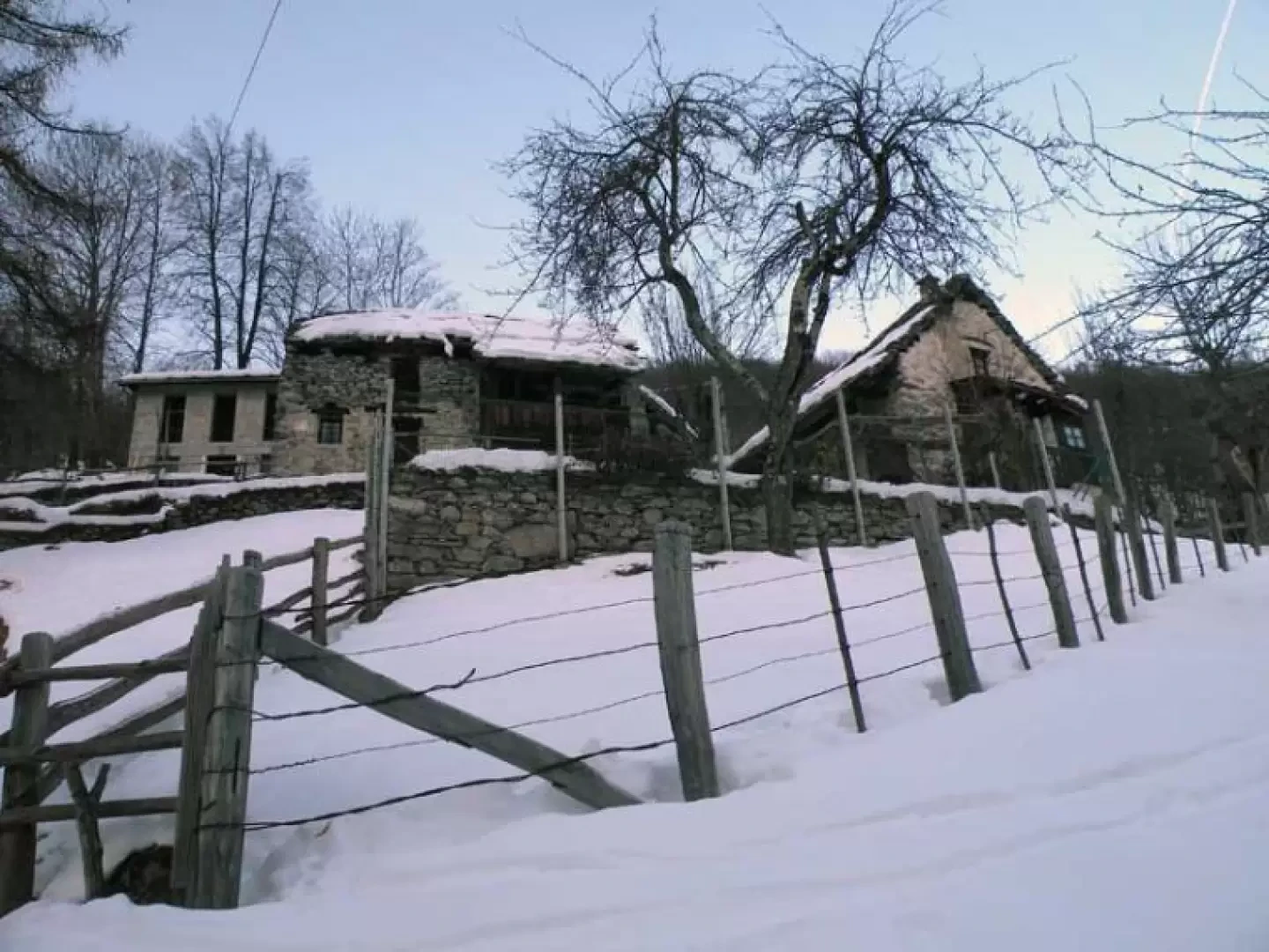
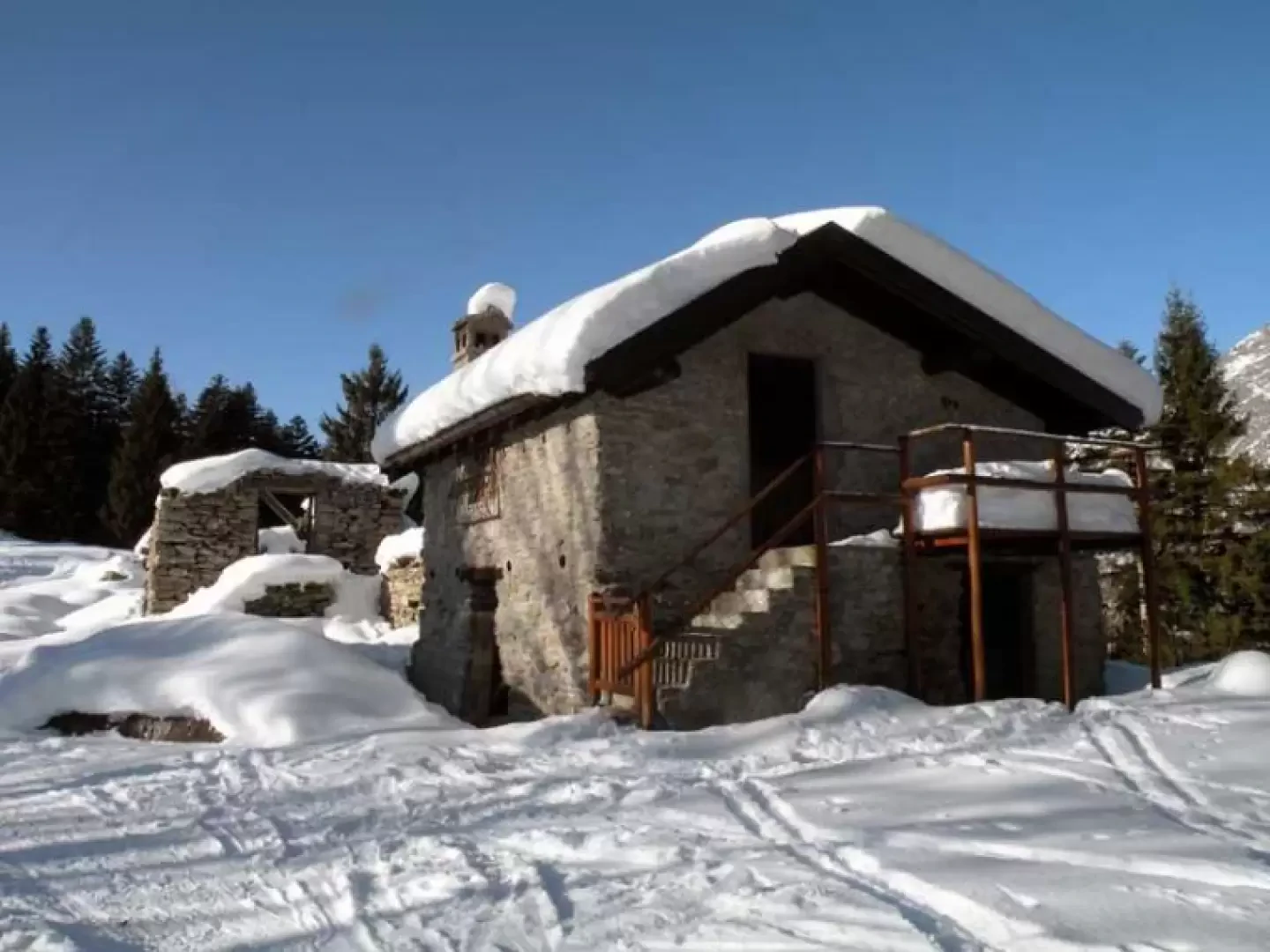
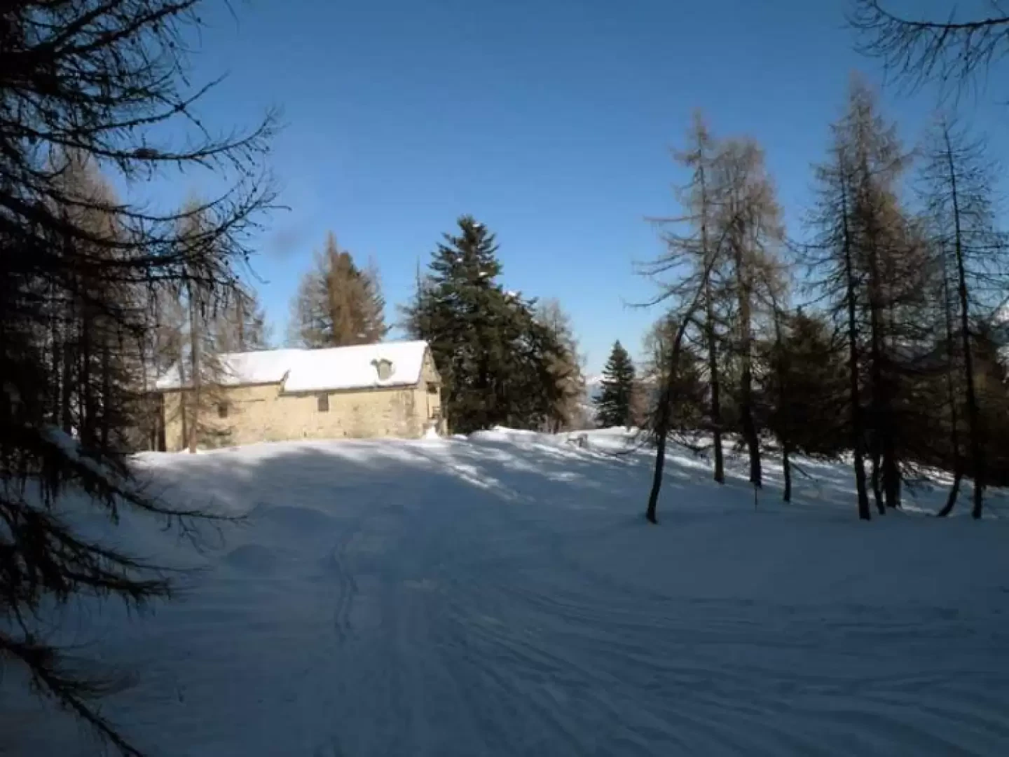
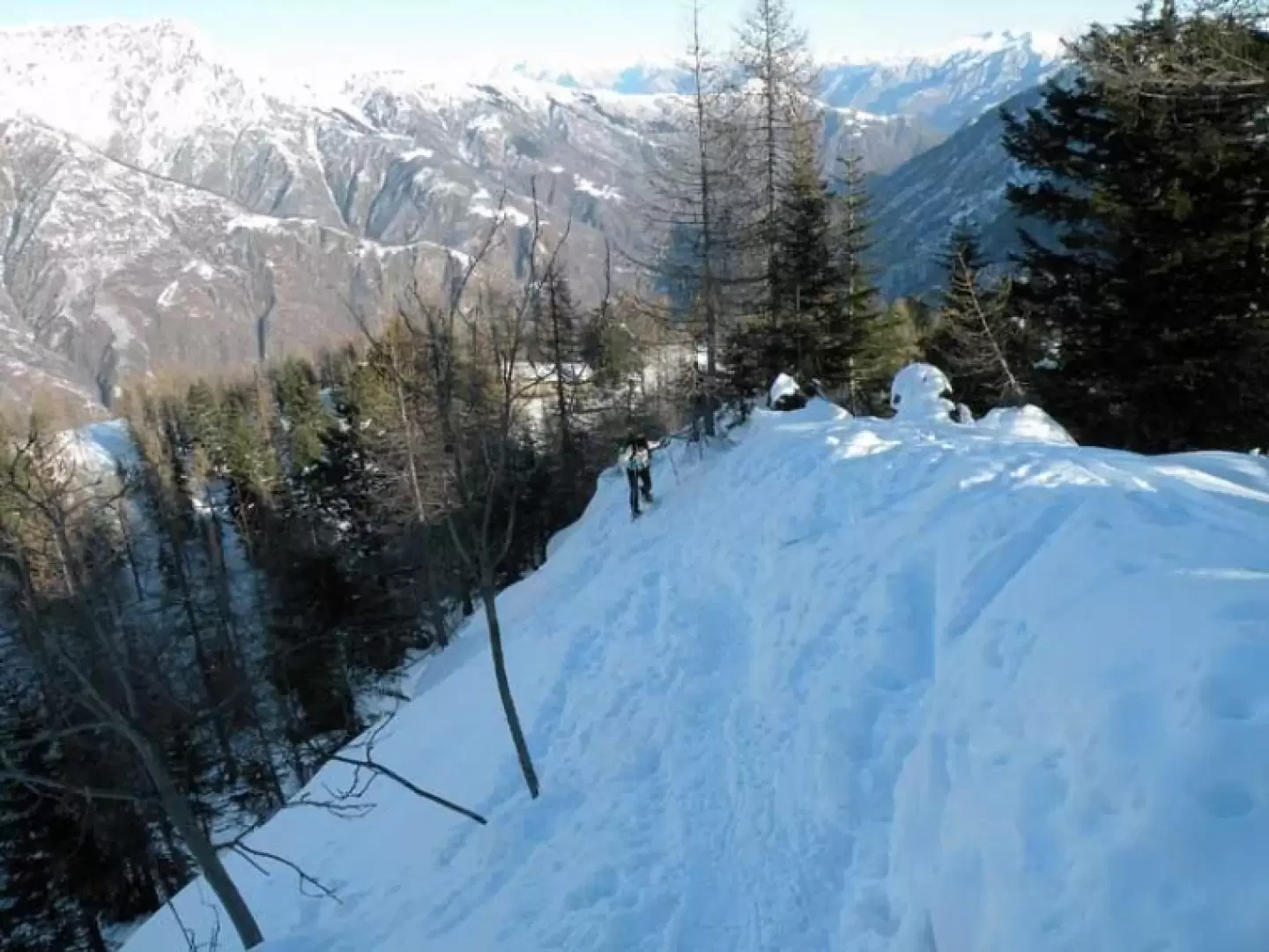
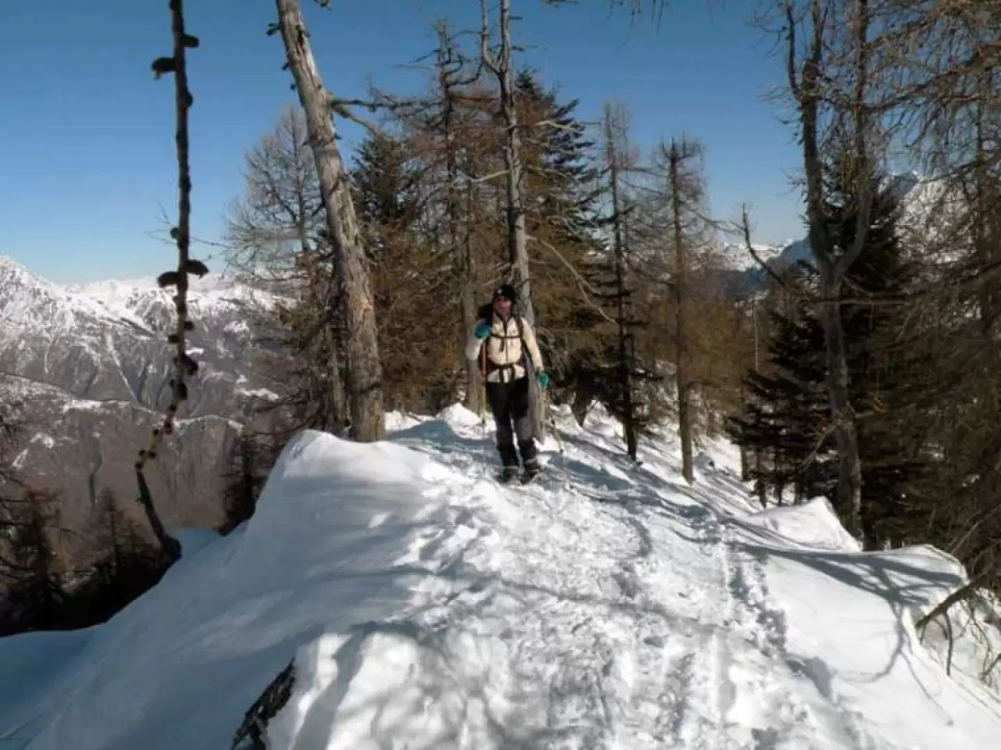
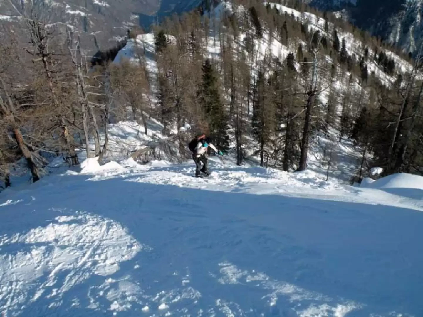
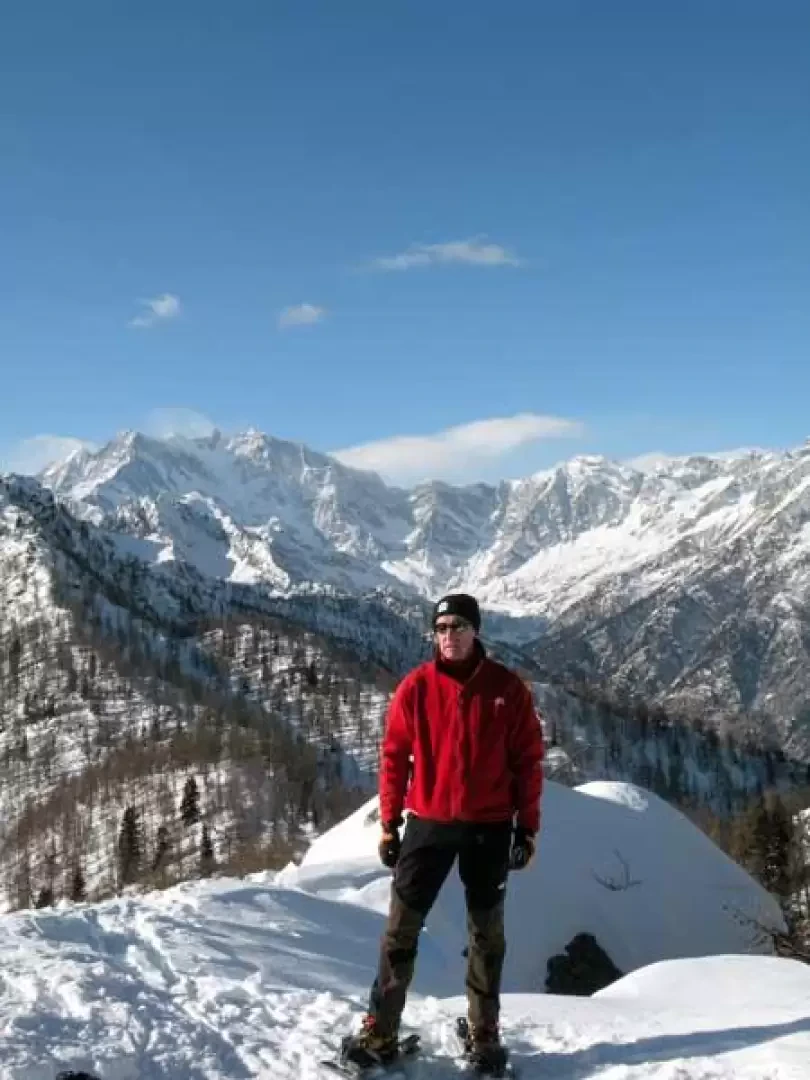
From the last houses, go along the asphalted road for a short distance and, before a metal barrier, you will find a signpost [B19] on the right, which directs you into the sparse woodland, which you climb up slightly, first coming across a little votive chapel and then some huts (970m). Continue to the right of the huts and climb up a wide slope, which used to be the village's ski slope, to reach the end of the old ski lift; leaving it to the left, continue up the slope and arrive at a plateau where there are some buildings and the old arrival point of the ski lifts (1090m). From here, head towards the ridge of the mountain and ascend, with a few short, somewhat steep descents, through sparse vegetation until you reach Alpe Loro (1348m). Without moving too far from the wide ridge, ascend it again, passing by other huts, until you reach a wide collar where there is a signpost (1592m); continue to the right, still on the ridge, and arrive at Villa Samonini (1655m) from where, among the trees that are a little thicker, you gain height with a few narrow hairpin bends that are a little steep and, when the ridge becomes thin, you move to the right to make a slightly exposed traverse that reaches a wider area of the ridge itself. Returning to the edge, we move to the other side of the slope and, with another longer but less exposed traverse, pass under an anticima and return to the ridge from which we can see the summit, the destination of this excursion. To ascend the final section, the slope becomes noticeably steeper and with a final effort you soon reach the panoramic summit.
Photo gallery
Comments (0)
Sign in to leave a comment