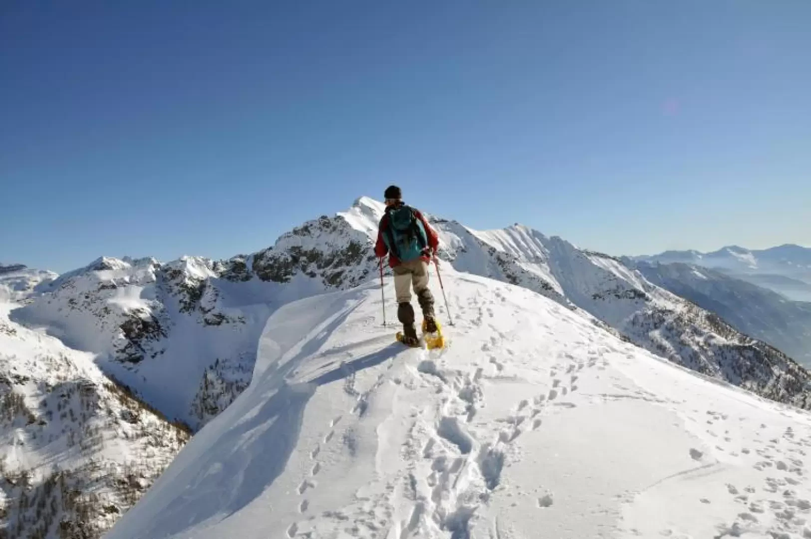
Mount Sangiatto

Access
Follow the road to its end at Gravellona Toce and, without exiting the highway, continue in the direction of Domodossola. Continue on and exit at the junction indicating the Formazza Valley and the Antigorio Valley and, having passed the municipality of Crodo, you arrive at Baceno where, in the middle of the built-up area at a hairpin bend, you will find the diversions for Alpe Devero on the left. Go past the hamlets of Croveo and Goglio and then, after crossing a bridge on the right, climb up a few hairpin bends, pass a first tunnel, and before entering the second one leave your car in the convenient open spaces near its entrance.
Introduction
A very scenic hike, ideally on a clear day. There are a couple of sections that are a little steep after the fork above Alpe Fontane, and for the rest you can walk comfortably in the open spaces leading up to the col and to the puntina. Evaluate on site how close you can get to the summit, as it is on a ridge with many cornices. The hike is fairly busy up to the crossroads at an altitude of 2036 m. after Alpe Fontane, while beyond this it is easy to follow the trail. From the forest above the Sangiatto pond to the finish, the slope is very steep in places and it is best to do this section with settled snow. From the little point on the col is an impressive view of the precipice that plunges down to Lake Agaro below.
.Description
From the parking area, cross the road and head towards a narrow valley that climbs up towards the east in a sparse wood, at first remaining on the orographic right of the stream that descends from it and then crossing to the other side and passing under a promontory where there are two wooden huts. You gain height between the snowy rises and after a few zig-zags, you come in sight of a group of huts at an altitude of around 1680m; pass these on the left and continue to climb, after a traverse, entering a fairly wide valley where, before reaching the gully that descends in front of you, you turn right to climb a slightly steep gully that you can clearly see in the sparse woodland and which you pass with a few bends. This little gully comes out on the upper plateau where the Fontane alpine pasture is situated in a panoramic position towards the Devero basin and the peaks framing it. Pass the huts on the left to enter a wide gully that climbs steeply to the right towards the south. When you reach two thirds of the way up, at an altitude of about 2036m, turn left and take an easy traverse of a few dozen metres from where there is an excellent view of Alpe Fontane. We now proceed on a false level over slight undulations until we reach the point where the small valley opens up before us and where, a little further on, we find the frozen and snow-covered basin of one of the small Sangiatto lakes. Without continuing to its centre, we ascend obliquely, heading towards the obvious Sangiatto canopy, first at the edge of the sparse forest and then entering it with the progression becoming a little more tiring due to the gradually increasing gradient. Keeping to the right, we make a few hairpin bends uphill until we come to a narrow, steep gully that we climb laboriously for a few tens of metres and thus reach the small plateau, to the right of the Sangiatto, located at the start of the gentle ascent to the col that we now see before us. Without an obligatory path, we reach it, paying attention to any cornices and, moving with a short traverse to the right, we arrive at the panoramic point that stands, like a pulpit, overlooking Lake Agaro situated just below us. To the right you can see the development of the Corona Troggi cornices, while to the left looms the Sangiatto pyramid.