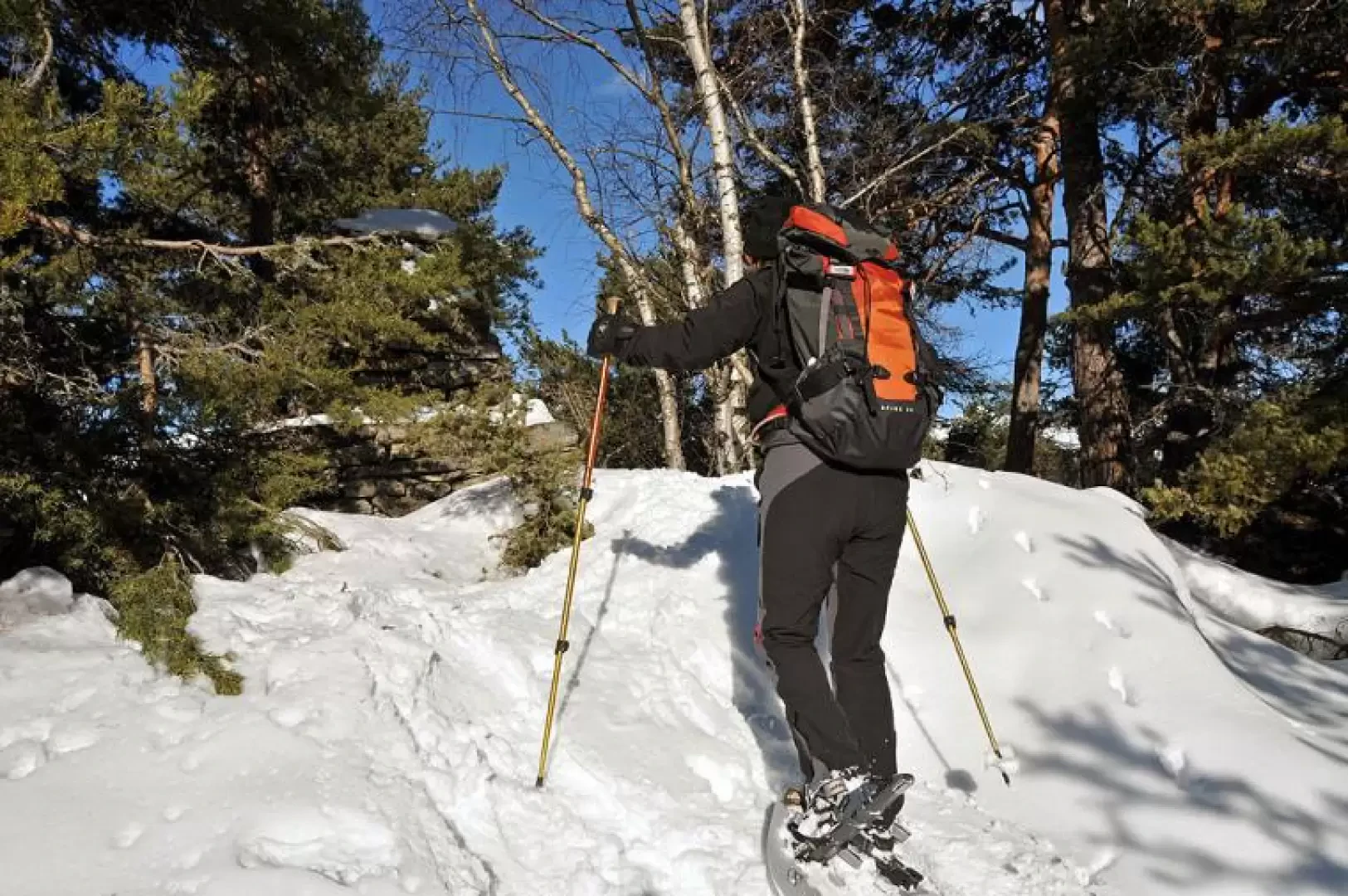
Mont de Poignon, from Champlong

Access
Follow the road past the Aosta Est toll booth and exit at the next toll booth at Aosta Ovest. At the traffic lights, turn left and drive along the until you reach, after a few kilometres, Villeneuve; enter the village and, turning right and continuing along the road through the village, you will come to a crossroads where you will find indications to turn left for the hamlets of Martignon and Champlong. When you reach Champlong dessus, cross the small village to arrive at an opening on the left where there is a large metal gate where you can leave your car.
Introduction
Mont de Poignon is located on the southernmost point of the watershed that divides the Cogne valley and Valsavarenche and is on the long spur, first wooded and then rocky, that descends from Grand Nomenon. The excursion is feasible even after recent snowfalls without excessive danger and, being little frequented, there is also the possibility of seeing some chamois foraging in the rare snow-free patches. The first part of the itinerary develops in the beautiful forest above the hamlets of Villeneuve, while the second, more evocative part, on the wide and sunny ridge offers magical winter settings with the sun filtering through the branches of the conifers and making the snow on the path glisten. In years of heavy snowfall, care must be taken to follow the track that winds through the vegetation of the ridge.
Description
From the car park, cross the road and climb up a track that starts below a stone hut near a water intake and heads east.
Walking on a slight incline, near a hairpin bend, you will find a marker on a stone and later, on the wall of a water intake, you will find another marker; after a long traverse in a westerly direction, at an altitude of 1265m you will cross a mule track that cuts the farm track from east to west: You ignore it and continue eastwards with a steeper slope, passing a few ruins, until the Prorayé huts (1355m).
The route now turns south and, after passing a few huts at an altitude of 1403m, with a few slightly narrower hairpin bends gains the wide ridge. Walking up a few ups and downs, you come close to the stone milestone marking the summit of Mont de Poignon: this remains a few metres to the right and is half-hidden by conifers. Continue southwards along the ridge and you will first come across a hut (1561m) and further on you will arrive at the Poignon alpine pasture (1563m); a few more metres and, after the first houses of Petit Poignon, you will find another small house on the right just above it and the PNGP Luigi Sertorio hut near a solar panel. On the ridge there are beautiful views of nearby Pointe de la Pierre, with Becca di Nona and Emilius behind, and the distant Bianco and Rosa groups.