Les Crottes
Access
Take the Turin-Aosta motorway as far as the Aosta est barrier, pass it and exit at the next tollbooth, Aosta ovest. Follow the direction for Courmayeur and before leaving the municipality of Saint Pierre turn right following the signs for Saint Nicolas; just outside the village, keep right at a fork and follow the signs for Vetan, which you reach after a few kilometres. When you reach the hamlet, go through it and you will come to a convenient car park in front of the Notre Maison hotel where you can leave your car.
Introduction
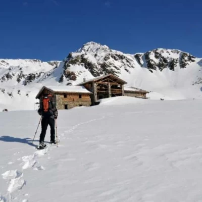
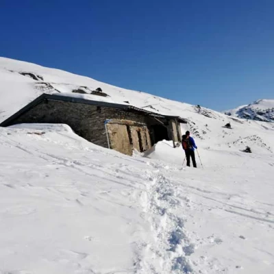
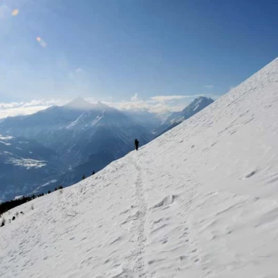
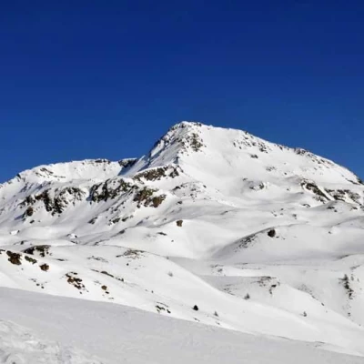
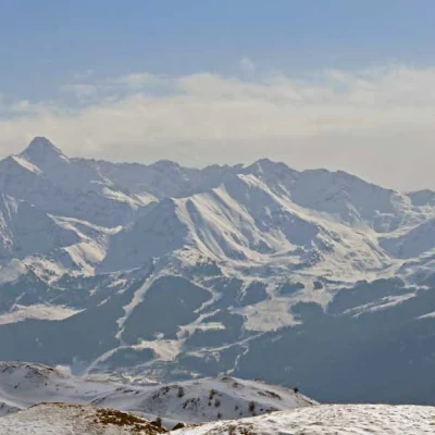
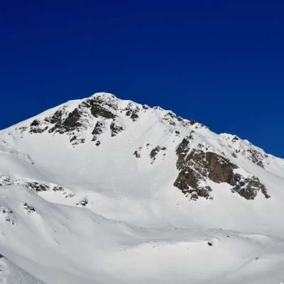
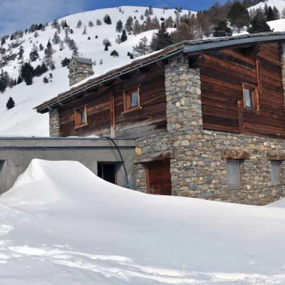
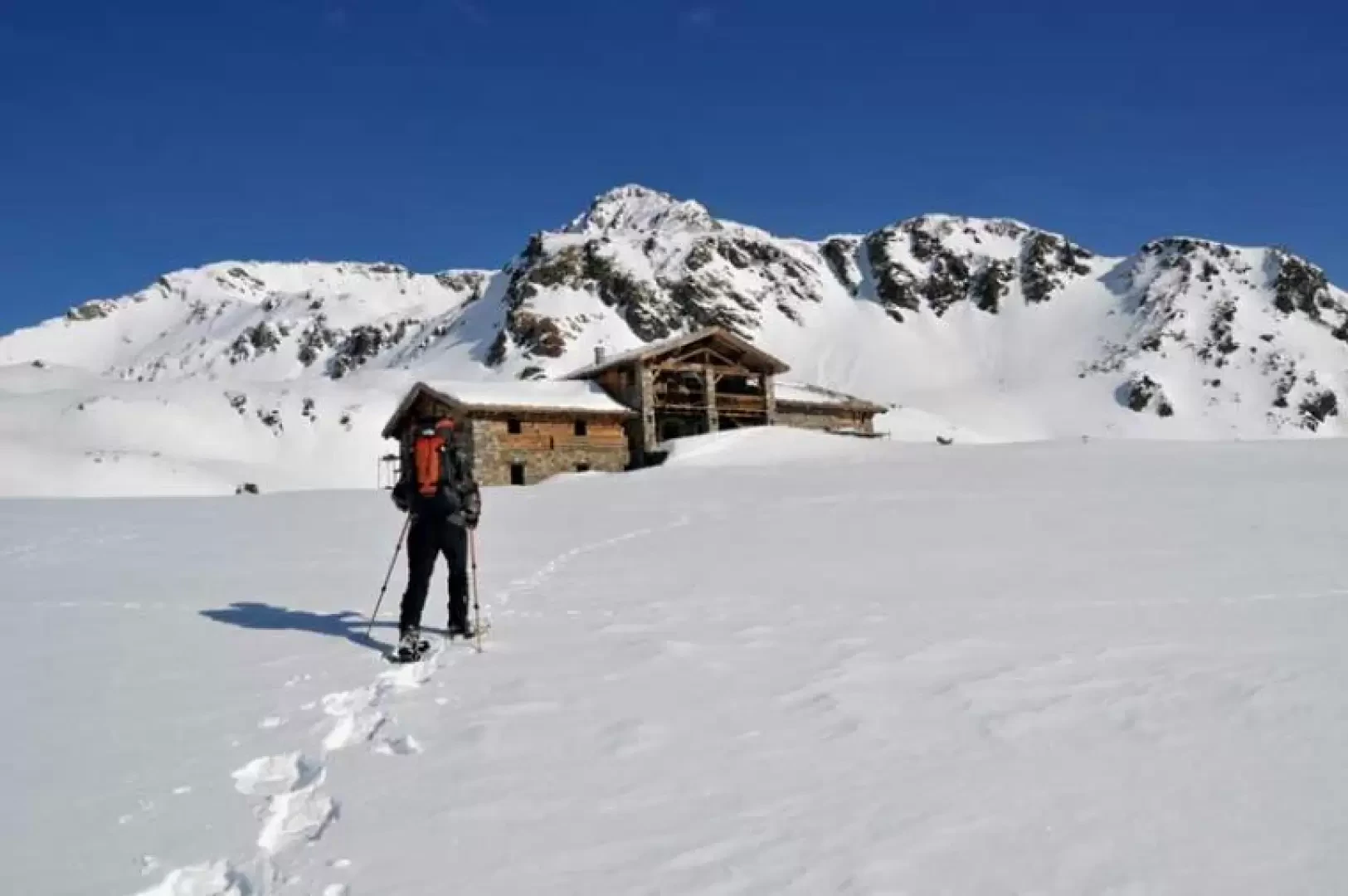
A long loop hike in a lonely and panoramic setting that allows us to skirt the high comb of Mont Fallére and reach an alpine pasture that, perhaps within the year, will be used as a refuge. In order to tackle this excursion, it is necessary to assess the snow conditions on site and consult the avalanche bulletin, as we have to complete a very long traverse that completely surrounds the vast south-eastern slope of the Punta Leysser; one piece of advice would be to set off early before the sun transforms the snow and to complete the loop as described because, given the exposure, it is not safe to tackle the slopes below the Leysser in the afternoon. The panorama from the alpine pasture is stupendous from Emilius to the Pointe de la Pierre and suggestive of the looming peaks at the head of the valley: the Leysser, the Mont Rouge de Vertosan and the Fallére.
.Description
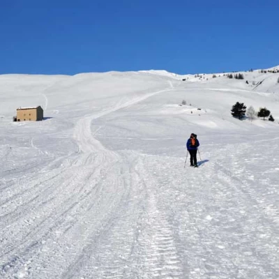
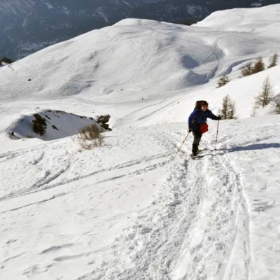
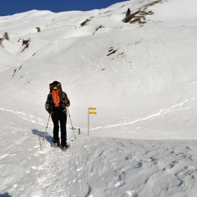
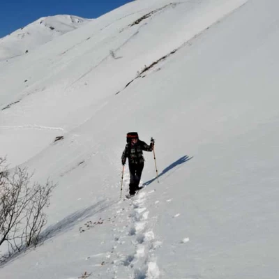
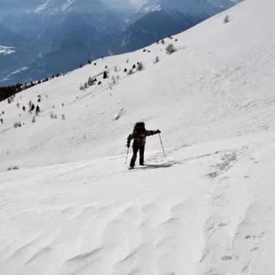
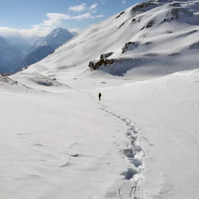
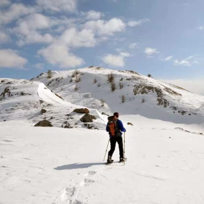
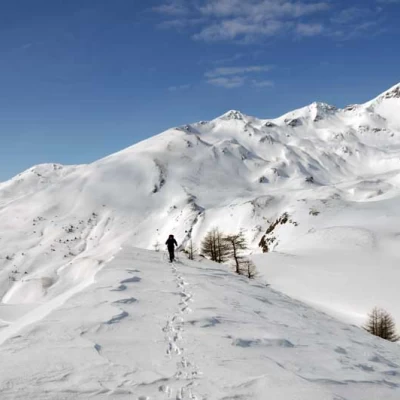
From the car park, take the little road on the left uphill at its end and you will soon reach the vast upper plateau. Continue walking on the track usually beaten by the snowcat, heading towards the Chatelanaz huts; before reaching them, deviate slightly to the right, climbing up the tracks that are almost always present on the slope, and ascend, almost directly, the low undulations of the mountain, heading in the direction of the peak of the Punta Leysser. You cross the track of the farm road several times, if it is visible, and you arrive, only seeing it at the end, at the Grandes Arpilles pastureland (2137m), cross it and, approaching the slopes that descend from the Leysser, you come to a rye post (2151m); you then turn right, trying to identify the route of the farm road and in any case making a very long traverse that contours the entire south-east side of the steep slopes that descend from the Leysser: this is the most delicate part of the hike and must be tackled in well-balanced snow conditions and with low avalanche danger. Walking, without rising too high, you arrive at an altitude of around 2210m and cross the ridge that separates us from the comb of Mont Fallére: in this section, it is already worth trying to spot the roof of the construction that can be spotted between the snowy bumps below the vertical of col Fênetre, between Fallére and Mont Vertosan, precisely because from this point onwards you will no longer be able to see it. Continuing along the traverse, but without descending in altitude to avoid encountering some steep gullies, head towards the centre of the valley and immediately climb a small elevation, arriving in a vast area of snowy bumps. One penetrates between them passing, without any obligatory path, between the points of lesser slope and moving slightly to the right, one ascends a last, somewhat steep slope, arriving at the plateau where the hut is located. For the return walk, descend to the left (hydrographic right) of the valley, passing a few small elevations with a few ups and downs and heading towards a peak with an evident metal antenna above it. Pass over a ridge, descend a little and climb up a collar to the left of the peak with the antenna and begin the descent on the opposite slope to the left towards the first trees; zigzagging to avoid steep stretches, cross the sparse wood to the south, arriving above the vertical of the Loé pasture, which you will soon reach. Descend a little towards a water intake, cross the stream and contour around a spur of the mountain; then cross a stream again and contour around another spur, coming in sight of the slopes that descend gently towards Vetan. You come to a crossroads marked by a post (1892m), which is below the Thoules alpine pasture, and from here you descend on sight towards the houses of Vetan, reaching the car park again.
