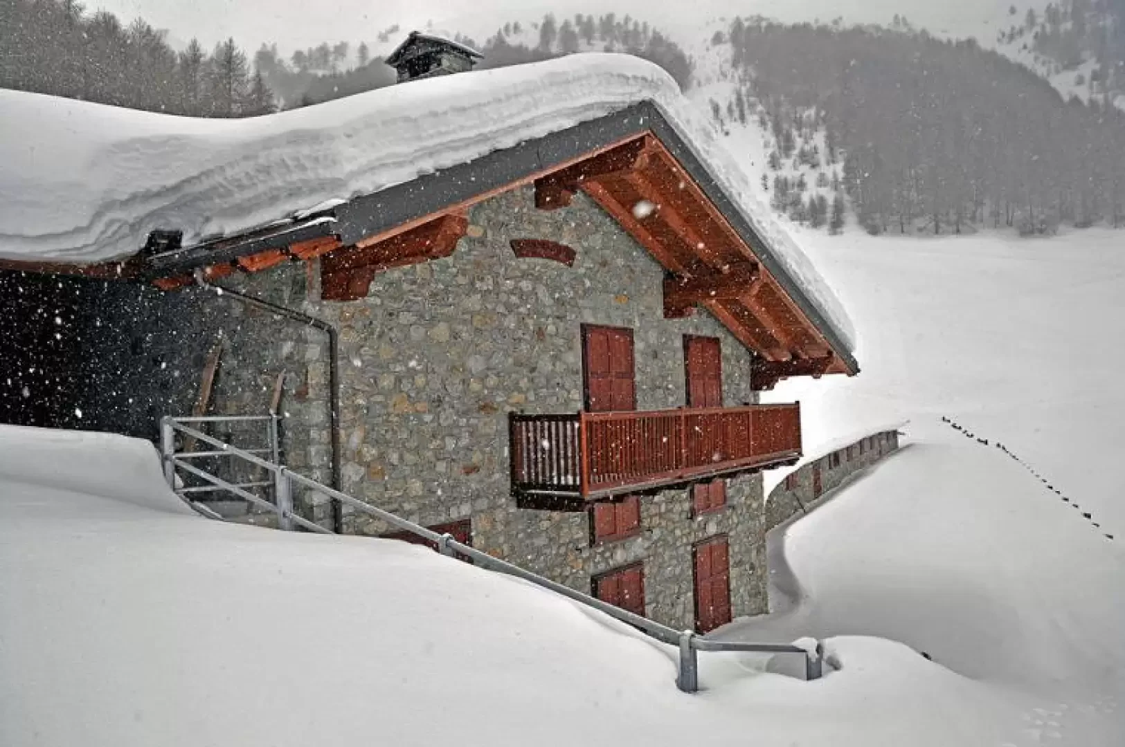
Chaligne Refuge, from Les Croux

Introduction
The hike follows the eastern slopes of Pointe de Chaligne and takes place for the most part in the beautiful evergreen coniferous forest that covers it. It is a little longer and with more altitude difference than the other route up from Petit Buthier, but less frequented and with the possibility of encountering specimens of alpine fauna, of which there are numerous traces along the way, and from which one has the feeling of being observed from within the dense vegetation. The panorama remains somewhat closed on the track and opens up in the final part when you reach 1800m.
.Description
Leaving the car behind, walk past the houses on the tarmac road for a few hundred metres, passing, near a hairpin bend, the no-trespassing sign, and further on you come to an alpine hut in front of which, on a small wall of a mountain hut, is the start of the path with the route markers. Continue along the farmstead, skirting the hut on the right and, after passing a few more small houses, you reach Ronc Parme (1443m) where, just beyond the renovated huts, are the ruins of the old alpine pastureland and a wooden crucifix to the left of which, on the dry-stone wall, are the trail markers to follow. Walk along the ruins on the left and take an obvious, wide path and, after a short distance, you will come to a first fork in the path marked on the stones; now follow a narrower and somewhat steeper path that skirts the wood. Further along the track, we come to a marker post (1596m) just before a water intake, which tells us to continue to the left. Having left the track for a short time, we take it again just above and enter the beautiful wood, which now becomes denser and denser and, walking for quite a long time on slight inclines, we arrive at a cement block (1808m) where the arrow with the path number is clearly visible, signposting us to turn left. Having left the track, the slope now becomes much steeper and, after a little more than a hundred metres, we skirt the forest and cross to the right to reach the altitude of the Chaligne mountain pasture, which can be seen further to the north. When you reach the alpine pasture, cross it and right above it is the hut.