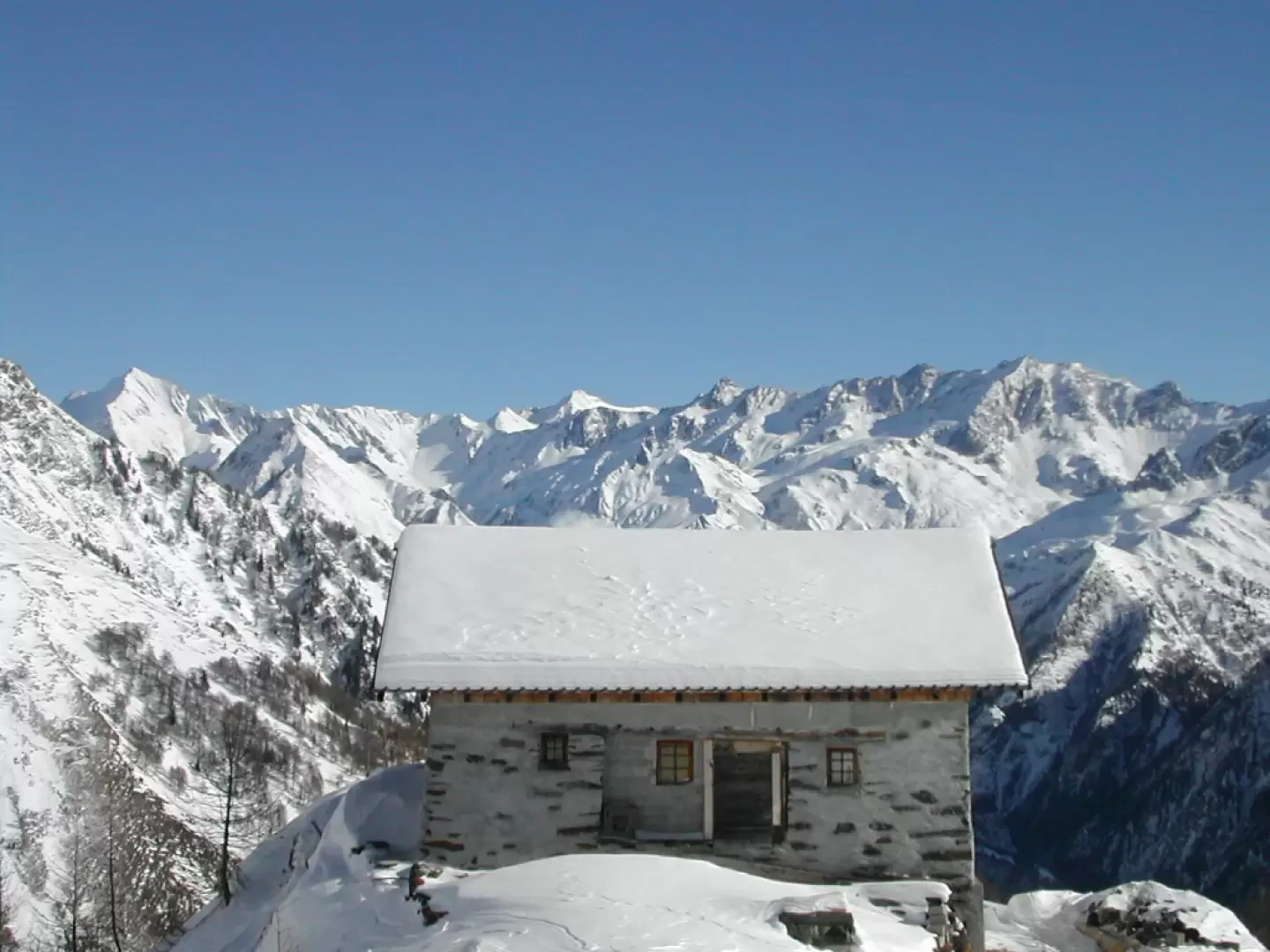
Bovarina Hut


Edited by:
alby
Updated at: 04/05/2025
Access
Highway to Como, follow signs for Bellinzona - San Gottardo, exit for Biasca, follow for Lucomagno until signposted Campo Blenio.
Introduction
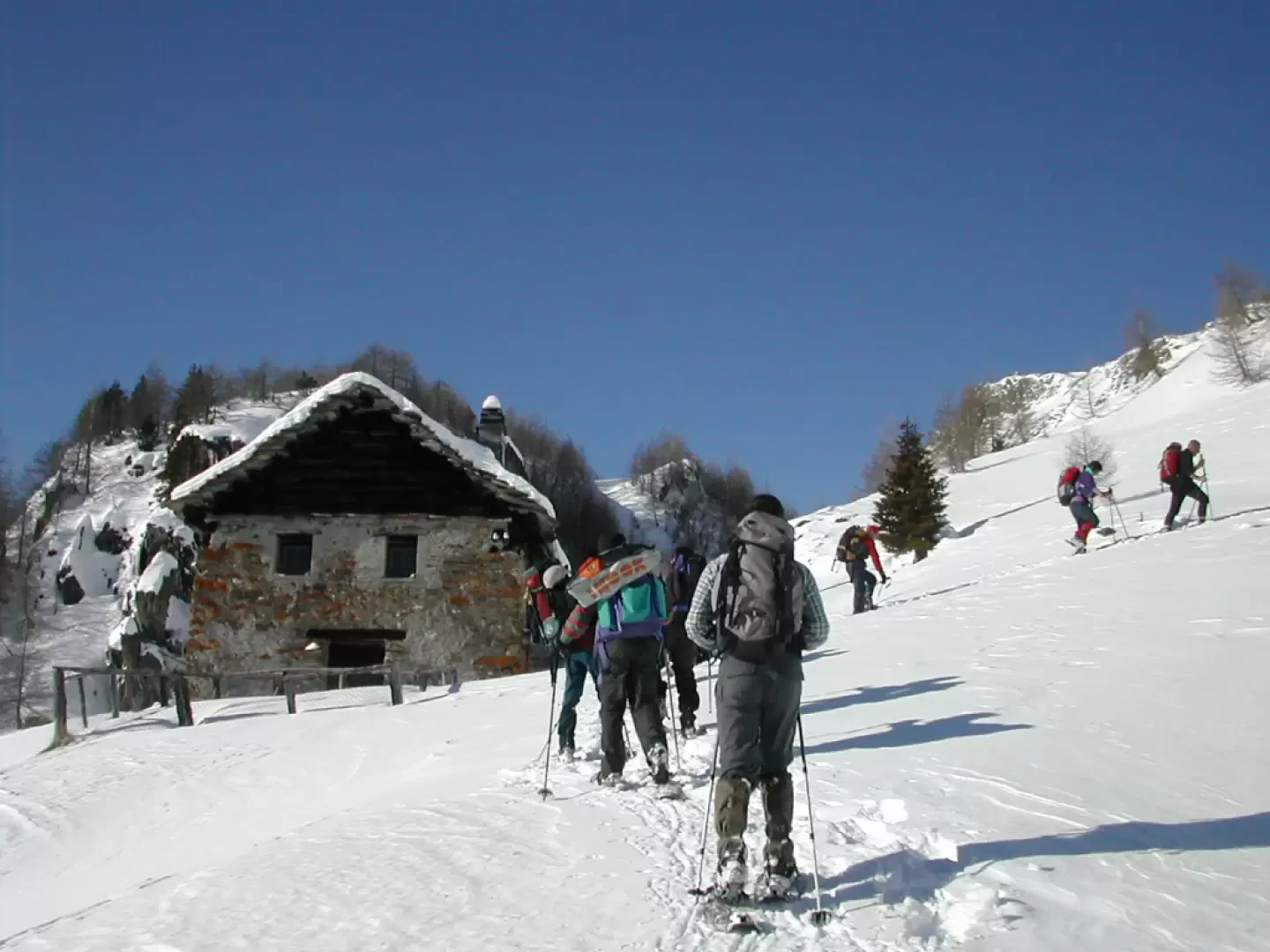
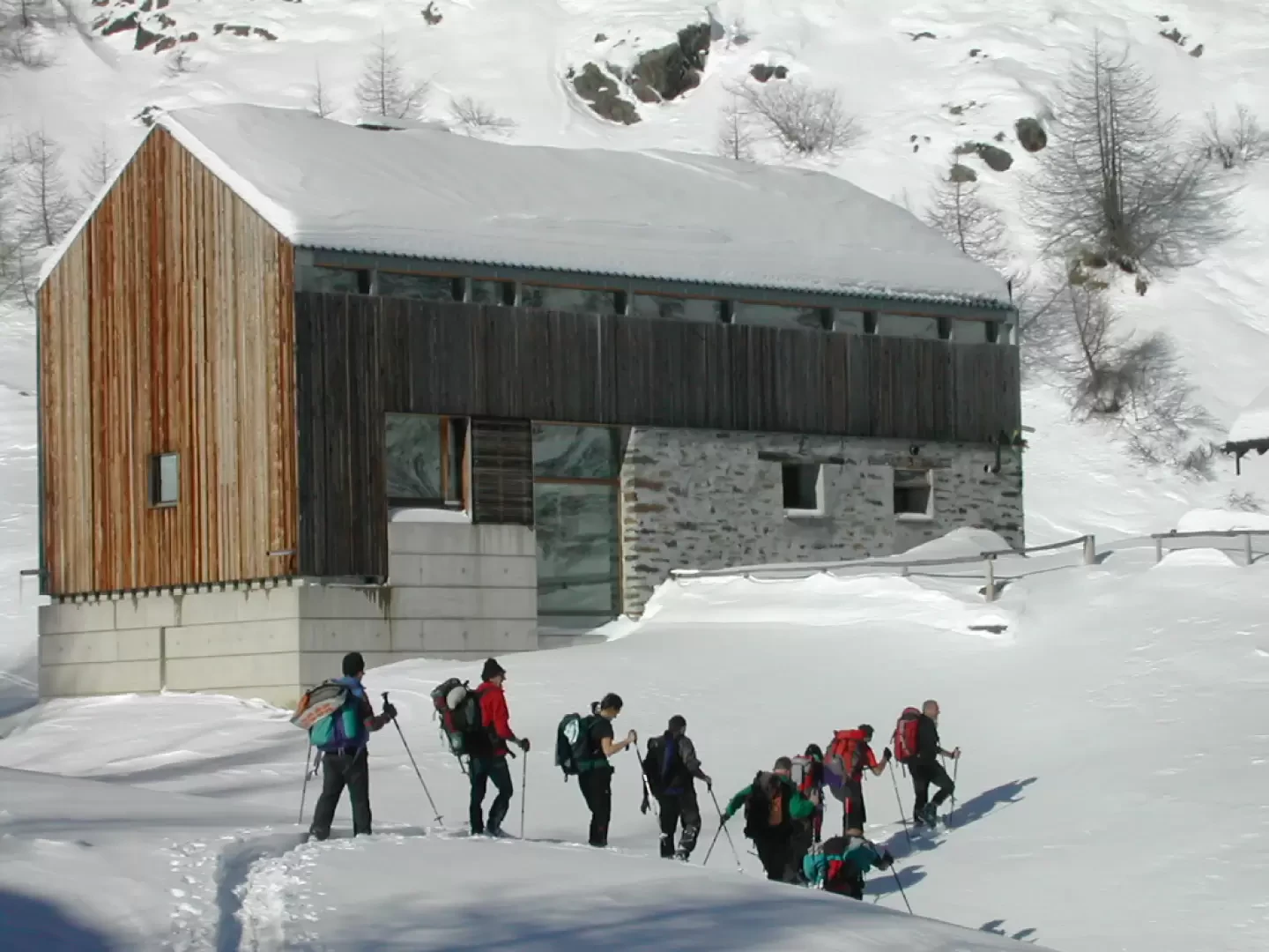
Beautiful hike in the Valle di Campo to reach the Capanna Bovarina.
Description
From the car park, follow the vertical signs which practically follow the road (this is for those who are not familiar with shortcuts), then you will meet the signs with the snowshoe symbol and the red/white diamonds on the trees (pay attention to the position of the diamonds, which have been positioned in such a way as to direct you along the correct route): leave the road and enter the beautiful wood, where you will cross a small bridge and, with rather steep sections, you will reach a hut outside the wood. Here in 10 minutes, taking a sharp right, you will reach the hut.
General information
Route:from Campo Blenio
Trail signposts: -
Type of route: a/r
Recommended period: December, January, February, March
Objective hazard: -
Sun exposure:east
Exposed sections:none
Water:Camp Blenio
Photo gallery
Comments (0)
Sign in to leave a comment