Court de Bard, from Vedun


Edited by:
Giancarlo Beretta
Updated at: 16/06/2025
Access
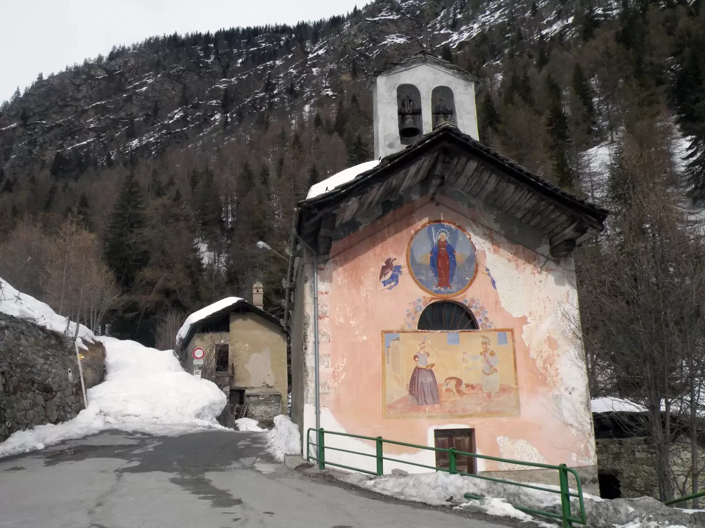
Leaving the motorway at the Aosta Ovest exit, join the main road and take it in the direction of Courmayeur. You will pass the villages of Saint-Pierre, Villeneuve and Arvier. After Leverogne you will pass through a tunnel and come to a roundabout, turn right towards Avise. Cross the bridge over the Dora Baltea and continue on the regional road [SR26], passing the capital of Avise until you reach Cérellaz. Shortly after the latter, you will come to a crossroads, turn left and continue for about 3 kilometres until you reach Vedun, the starting point of the itinerary. You can park in the car park in front of the chapel.
How to get there with GMaps
How to get there with Apple Maps
Introduction
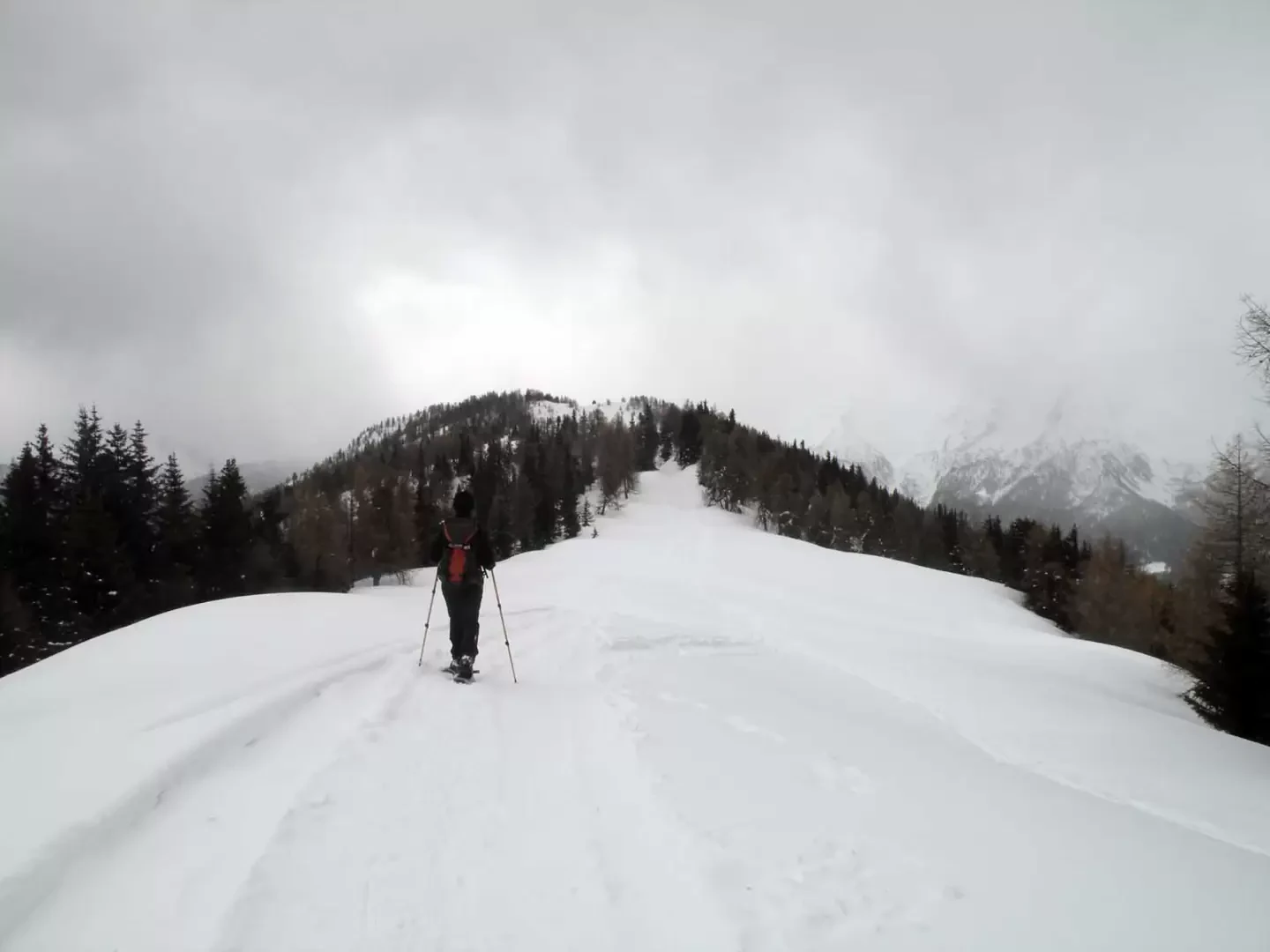
A very long but not steep hike through the woods on the left (orographic right) side of the Vertosan valley. The ascent to the Court de Bard from this side is recommended for those who prefer itineraries in solitary and little frequented environments; only in the stretch from the col de Bard to the summit are there numerous tracks of hikers and snowmobiles ascending from the hamlets above La Salle.
Description
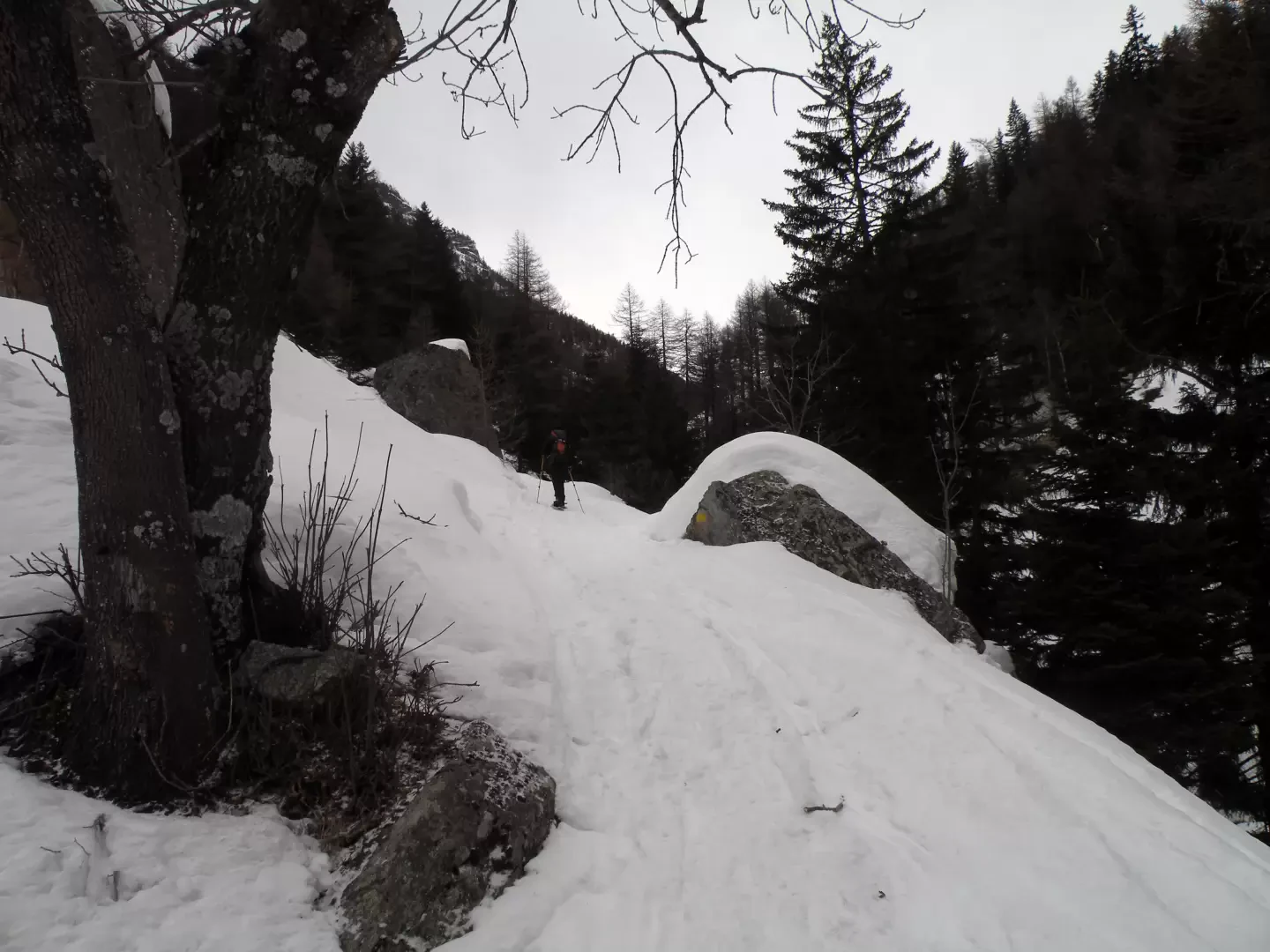
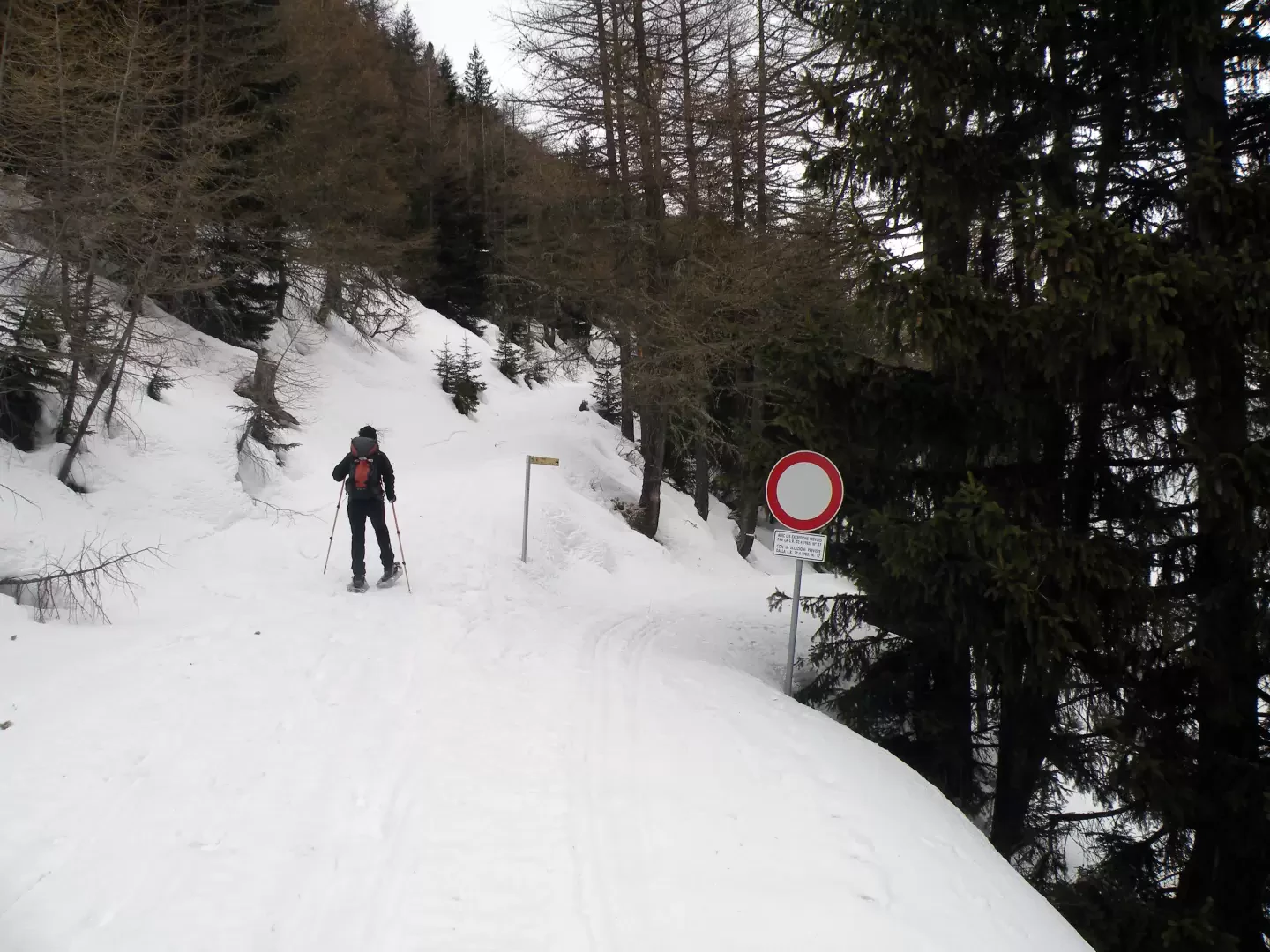
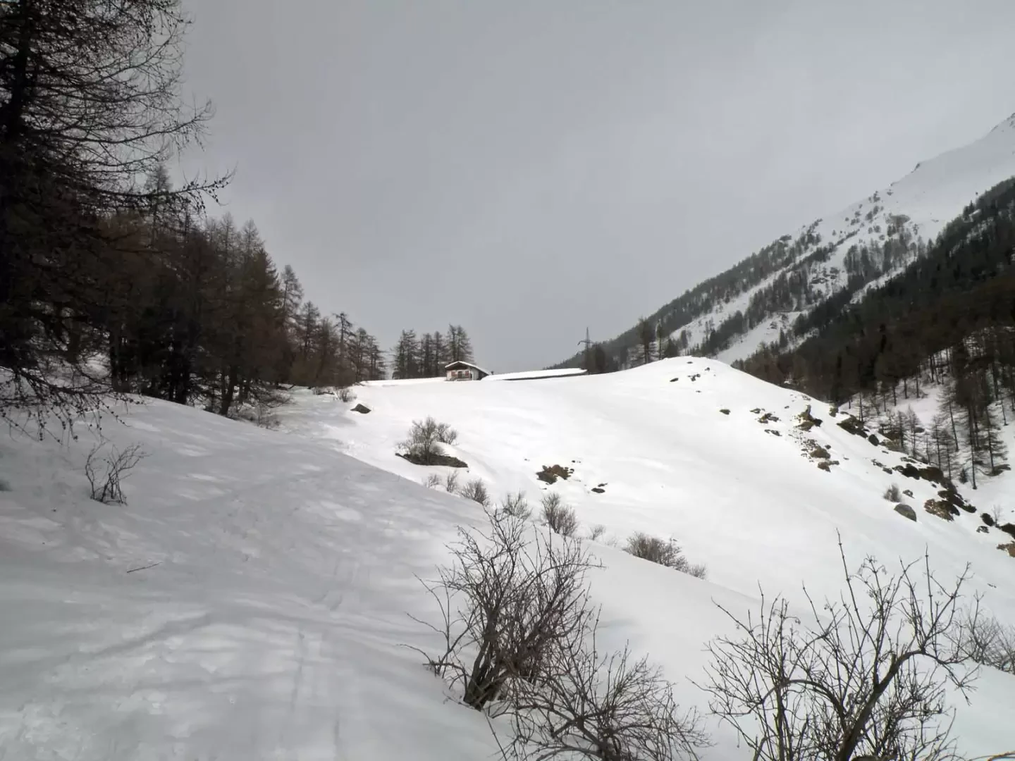
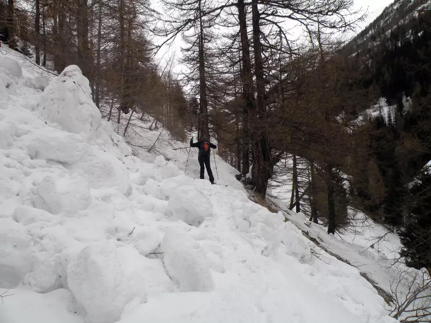
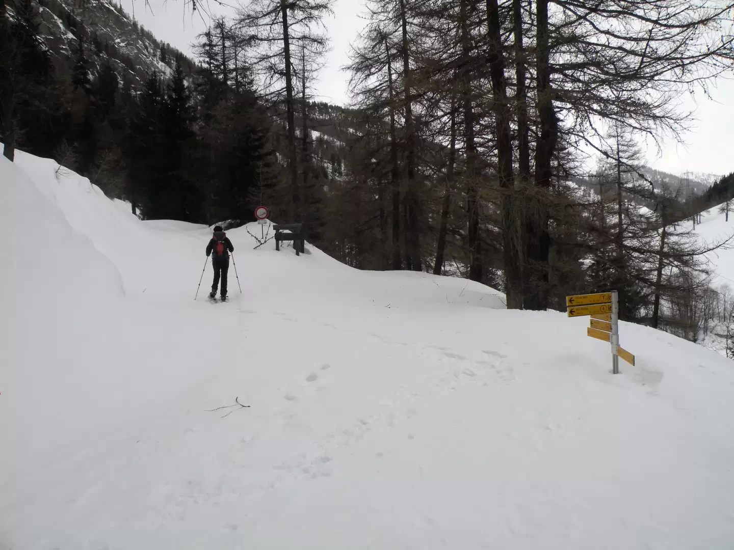
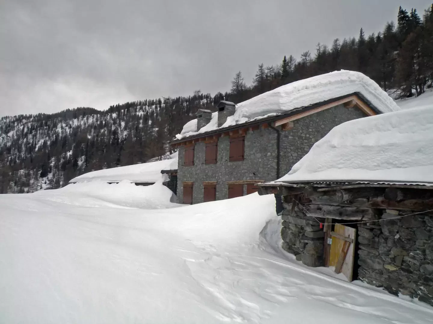
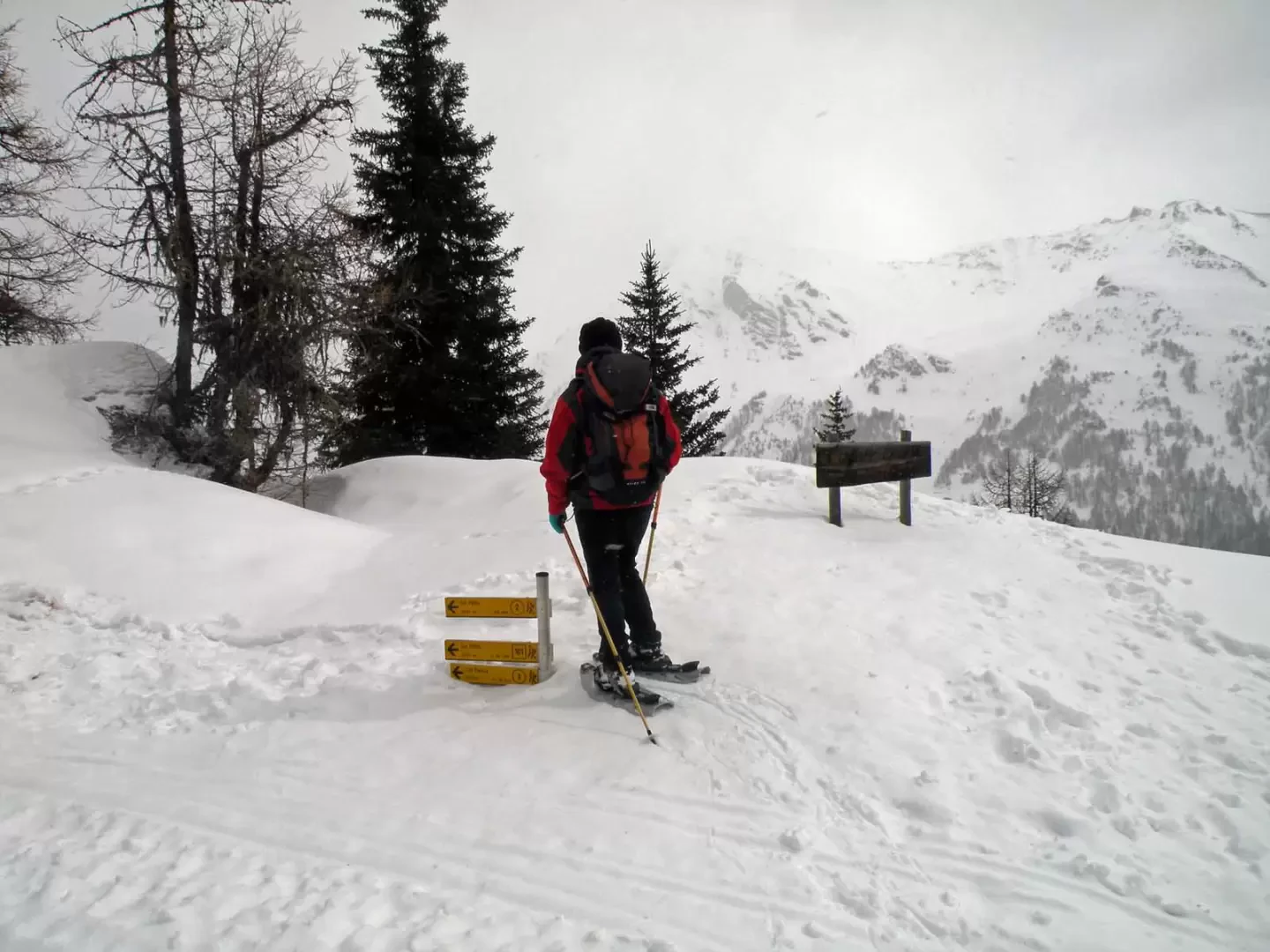
From the small parking area, take the farm road, which climbs to the left behind the little church, well indicated by the signposts. You leave it almost immediately to follow the path that cuts a few hairpin bends and enters the coniferous forest; having resumed the road, you first leave on the right the junction for Chatêlet and a little further on the left the one for the Col de Bard both indicated by a post. The itinerary continues on a gentle slope, passing a few hairpin bends and overcoming any small avalanches that may descend from the steep slopes of the forest to reach the Clapey alpine pasture (1746m), from where you continue halfway up the slope to the junction for Jovençan (1762m), which you leave to the right. Continue along the farm track, at times trying to make out its route, and, after a couple of hairpin bends, you will reach the Dzette mountain pasture, which you pass behind it and, after another hairpin bend, you will reach an altitude of around 2080m, where you leave the road and now climb without a fixed route through the forest, with the gradient becoming steeper, until you reach the wide ridge near the Col de Bard. From the pass, continue to the left (south) following the tracks that are almost always present and, after a few ups and downs, you will reach the panoramic summit ridge.
Signposts: - - where visible
Galleria fotografica