Weissmies, normal route from Hohsaas


Edited by:
Giancarlo Beretta
Updated at: 16/11/2025
Access
From Italy, you reach Switzerland via the Simplon or Great St. Bernard Pass and, continuing on the Valais valley road, follow the signs for Visp, where you will find the junction for Zermatt and Saas Fee. When you reach Stalden, there is a roundabout at which you turn left into the Saas Valley. Continue for a few kilometres until you reach the village of Sass Grunde, where you turn left to reach the visible cable car station next to which there is a car park (for a fee) where you can leave your car.
- How to get there with GMAPS
- How to get there with Apple Maps
Introduction
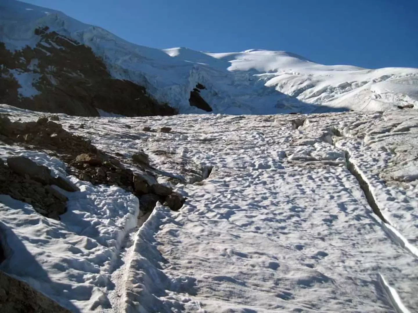
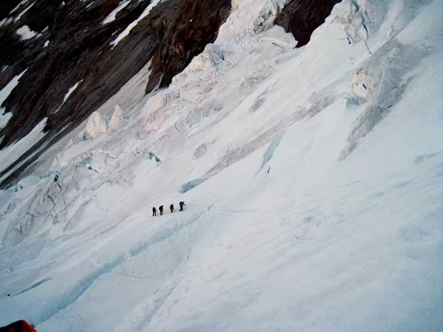
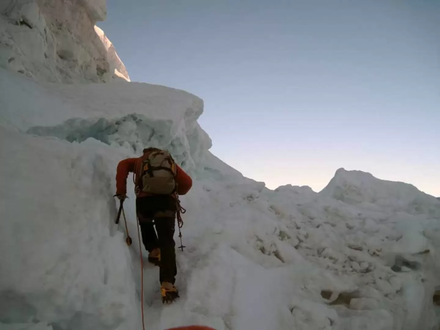
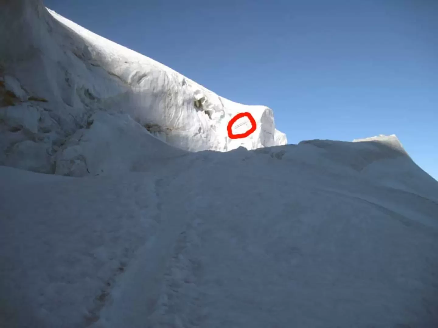
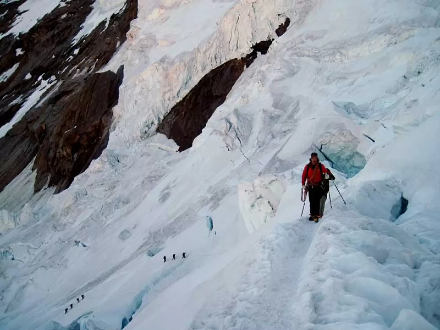
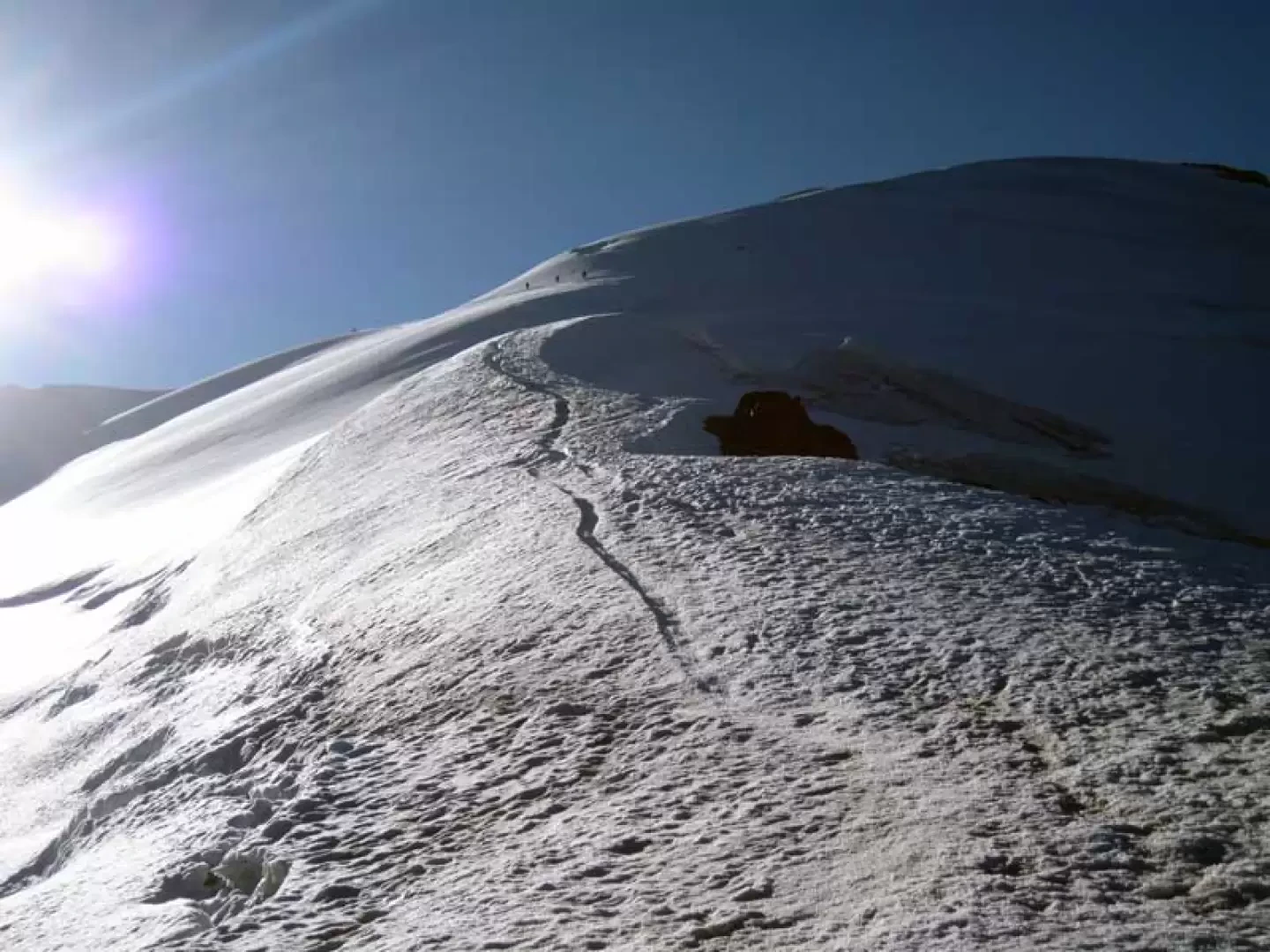
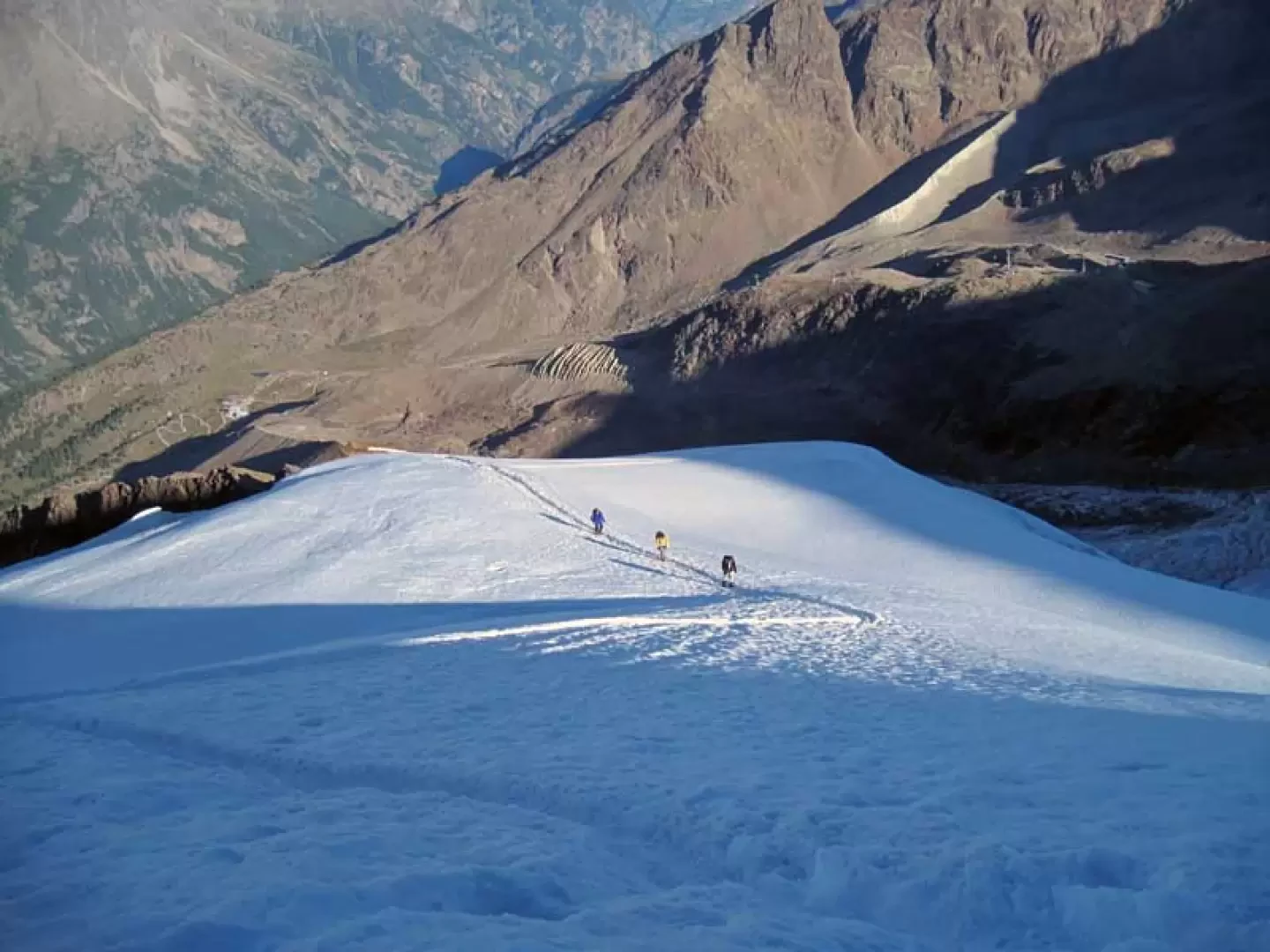
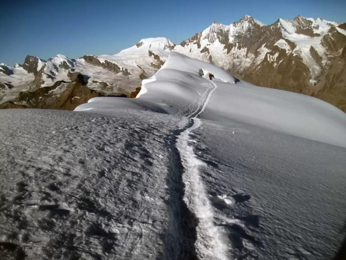
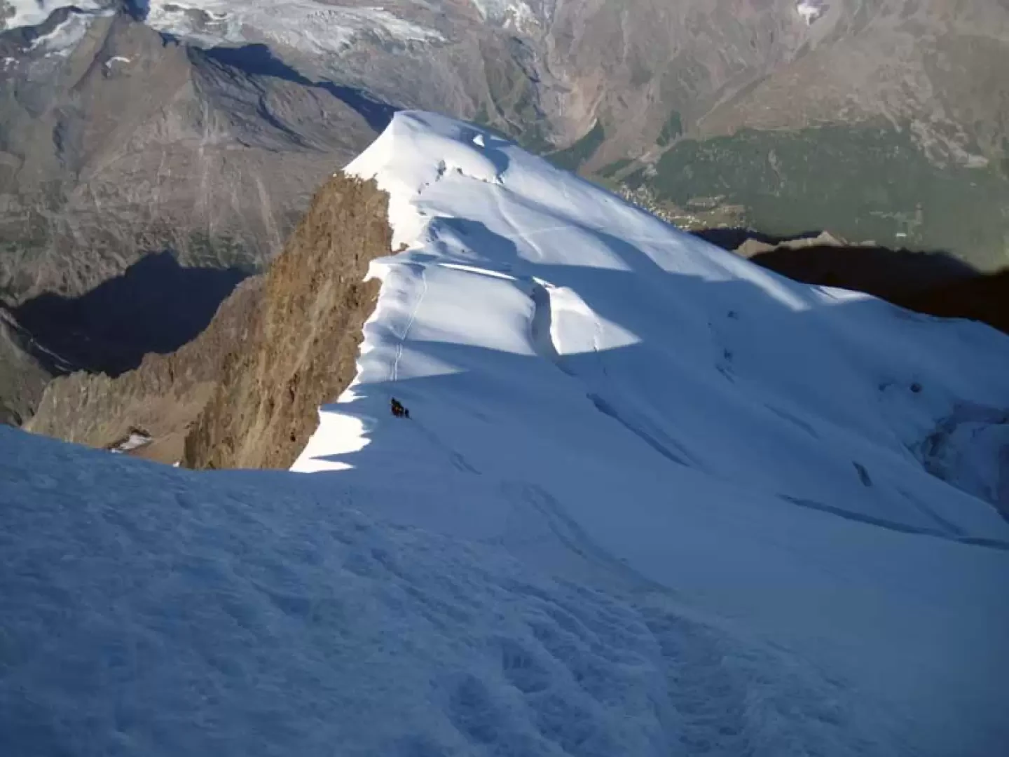
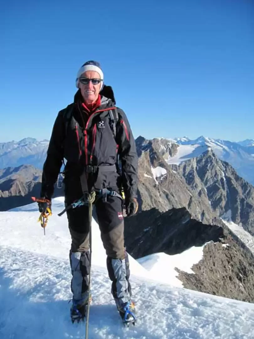
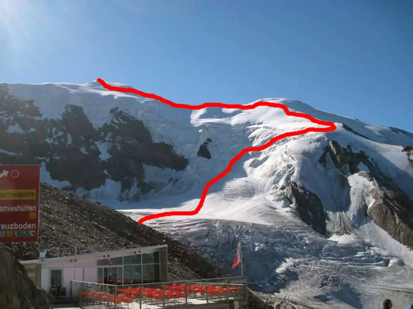
The ascent to this 4000 m peak is very popular and takes place entirely on ice on the imposing north-west slope, the first part of which is quite delicate, at first due to the crossing of a plateau exposed to the fall of looming seracs and then, further up, the passage that varies from season to season between seracs and wide crevasses through jumps or snow bridges which, especially in the presence of the sun, must be traversed quickly (for example, you can see a metal ladder used until last year to cross a wide crevice and now an integral part of a serac); The second part, on the other hand, takes place on a safer and very scenic glacier that, although it has to cross a few large, clearly visible crevasses, follows an elegant route, following the sinuosity of the ridge at the top, which must, however, be climbed at a proper distance due to the presence of large cornices. The breathtaking 360° panorama sweeps over the numerous 4000-metre peaks that surround it, from the closest ones of Saas Fee and Zermatt to the most distant ones of the Oberland, without neglecting the infinite carpet of other valleys and minor peaks. Also not to be overlooked is the fact that, if you are fast enough, the ascent can be made in a day by taking the first cable car cabins that take you up to 3150 m altitude.
Description
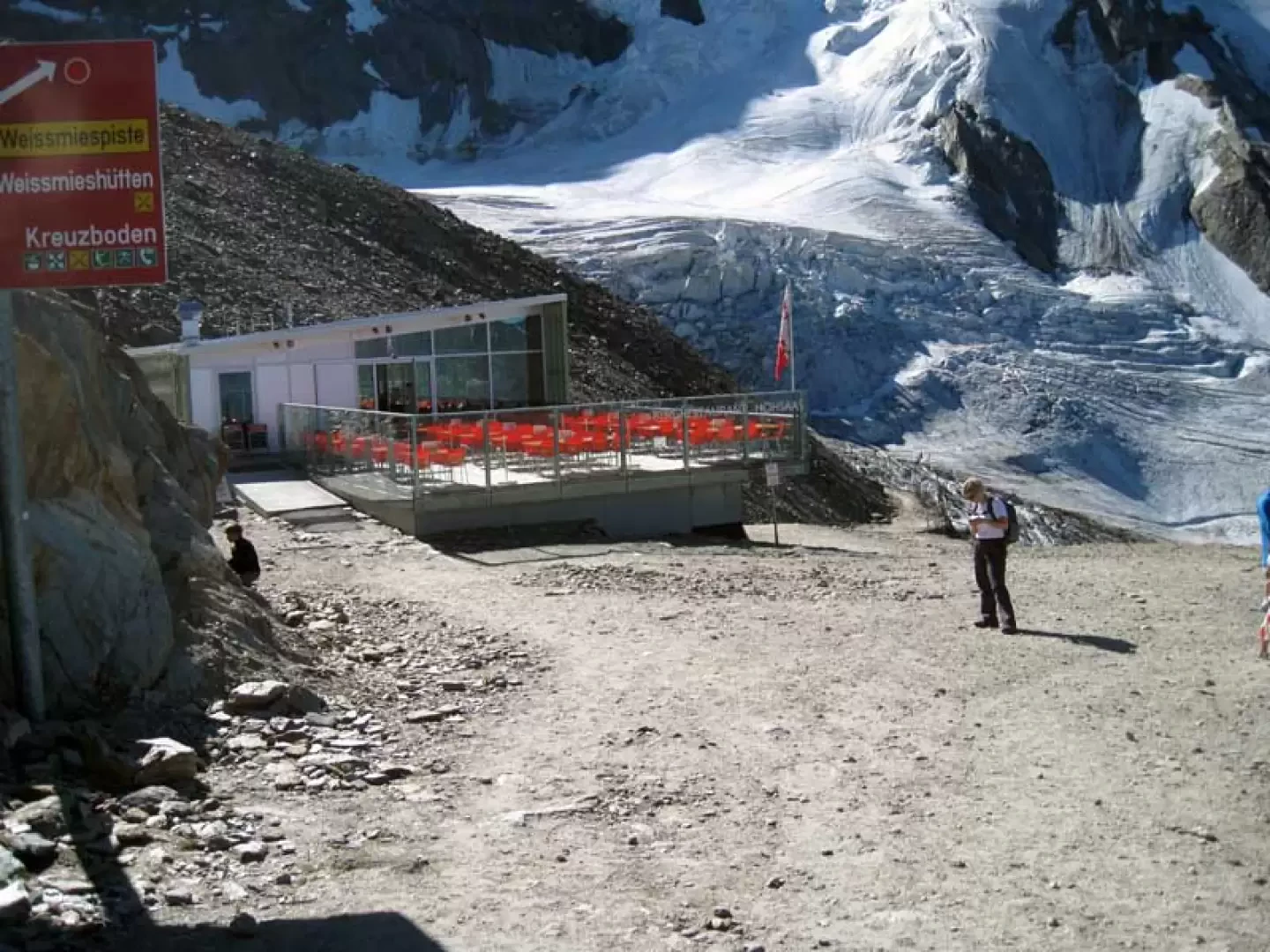
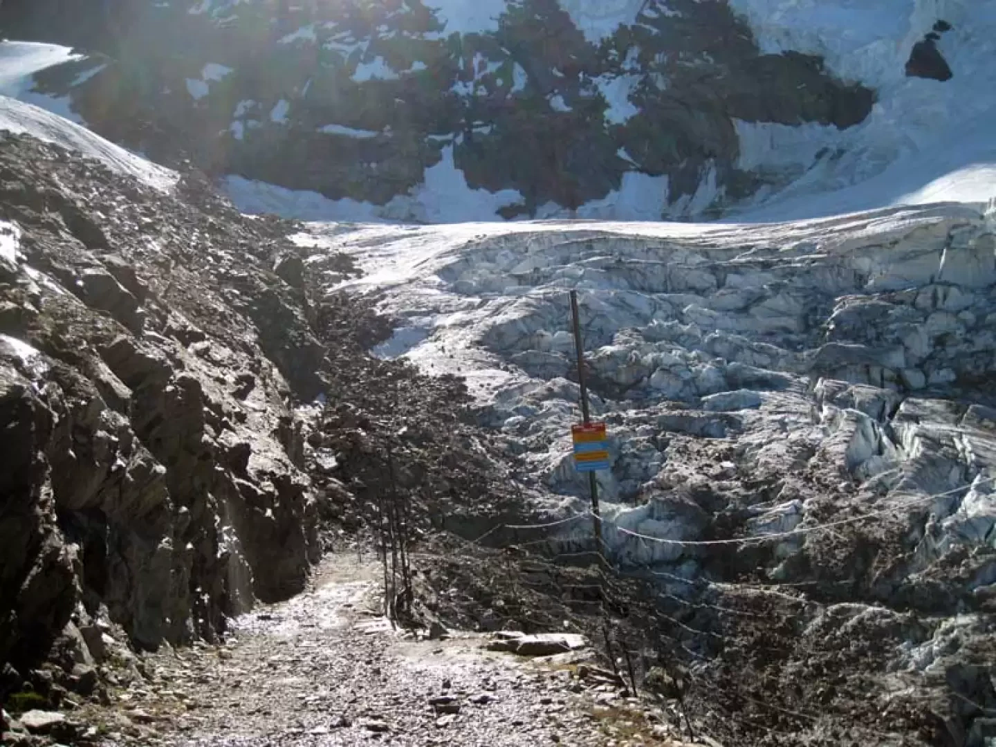
From the arrival point of the cable car, pass to the right of the nearby Hohsaas hut and descend along the dirt road until you reach a small clearing; on the left, you will find a track that, amidst shifting stones and loam, climbs up, skirting the rocky flank, to the lower part of the Trift glacier (approx. 3120m). Once you have set foot on the glacier, you pass small crevasses and, moving slightly to the right, arrive at the plateau just above it; this is crossed by deviating decisively to the right and, remaining at a safe distance from the looming seracs above it, you make a wide semicircle from right to left, taking you under the steep slope of the glacier. Here, the ascent becomes steeper and more delicate, approaching the seracs of the wall, which present wide cracks and crevasses that must be overcome with care and speed for a length of a hundred metres or so; having passed this area, a slope is climbed that reaches a wide ridge, from which one heads towards a large panettone at the top of which there is a sort of point with some rocks (3600m). The route continues to reach the ridge and, following its sinuosities from the left side, approaches the now visible summit with a steep path in places; following the always well-marked track, you move away a little from the ridge near an antecedent to pick it up again immediately after arriving, where the slope decreases a little, under the final steep slope that, after a difficult climb, leads to the summit canopy.
Generals
Type of route: a/r
Recommended period: July, August, September
Sun exposure: north
Photo gallery
Comments (0)
Sign in to leave a comment