Mount Basòdino
Access
From Domodossola continue on to the Formazza Valley, past the Toce waterfall you arrive in the Riale plain, leave your car in the car park adjacent to the start of the dirt track to the Maria Luisa Refuge.
Introduction
Beautiful excursion with an initial route that is a little tedious due to the fact that it crosses the carriage road to Rifugio Maria Luisa several times, but certainly fascinating and scenic in the second part after Lago Castel.
Description
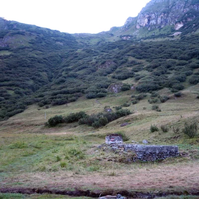
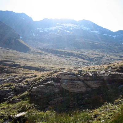
From the car park near Riale (1740m) next to the carriage road for the Maria Luisa Refuge, go directly up the paths (to the north) that cut across the road until you reach the upper plain, walk along it and before reaching the Refuge turn right (signs) for Lake Castel 2216m. Follow the path that skirts the entire lake on the right bank and, still following the same direction, go over a saddle into a small valley that leads to the Ghighel plains. From here, there are two ascent routes to choose from:
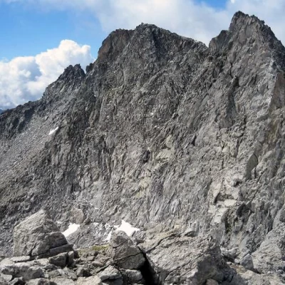
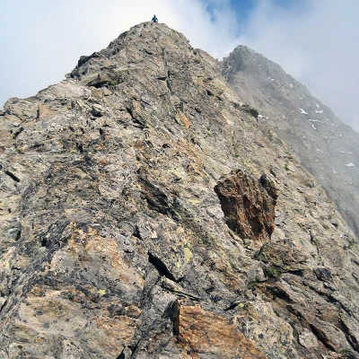
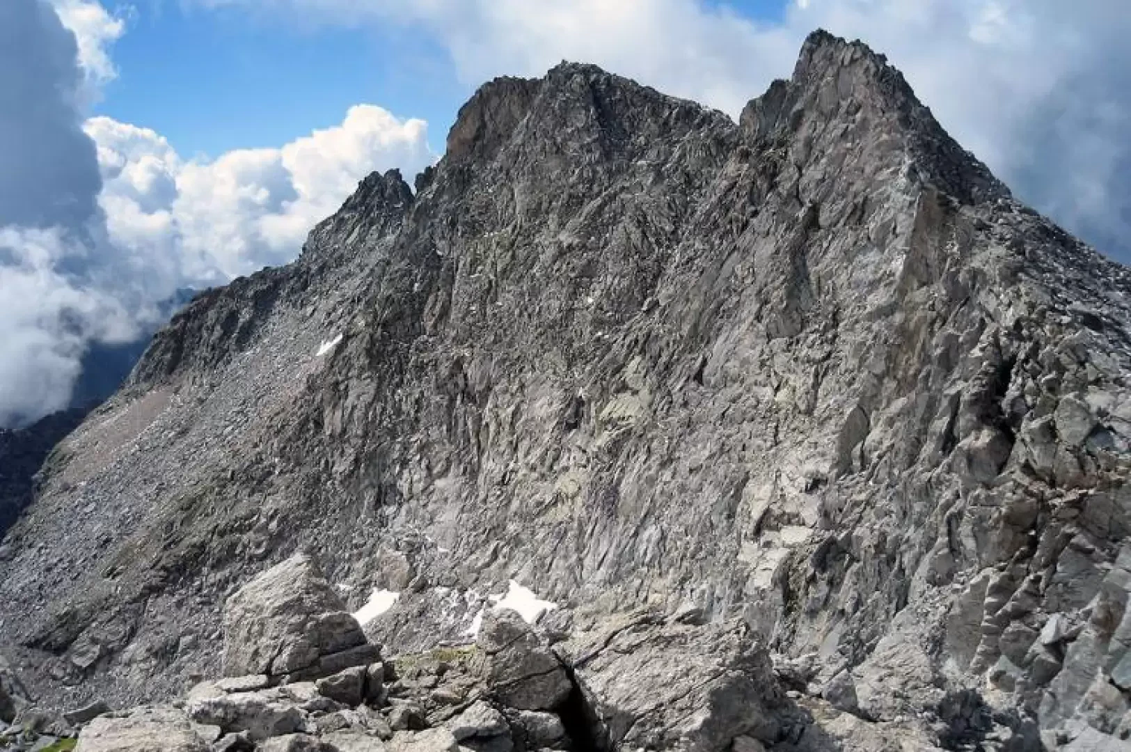
- follow the little valley and start a steep ascent to the east until you reach the south-west ridge of the Kastelhorn, from here deviate to the right (south-east) crossing what remains of the western glacier of Monte Basodino on a slight ascent. On reaching the Antabbia Pass, walk along the south ridge consisting of scree and rock blocks (PD) until you reach the anticima (southern summit) of Monte Basodino 3232m, from which you continue along the ridge to the northern summit (3273m).
- (Longer but easier route) continue southwards until you reach Lago Nero 2522m and from here ascend in an easterly direction to Passo d'Antabbia, then continue as for the previous itinerary.
Descent by the same route as the ascent (recommended route 2). Do not rely too much on the stone markers as they are few and poorly placed.
.