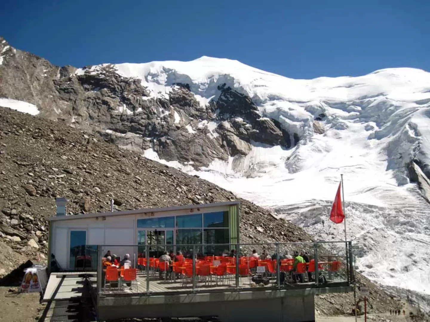
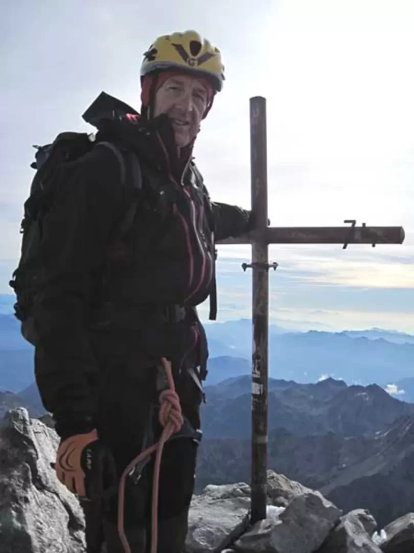
Lagginhorn, from Hohsaas


Edited by:
Giancarlo Beretta
Updated at: 16/11/2025
Introduction
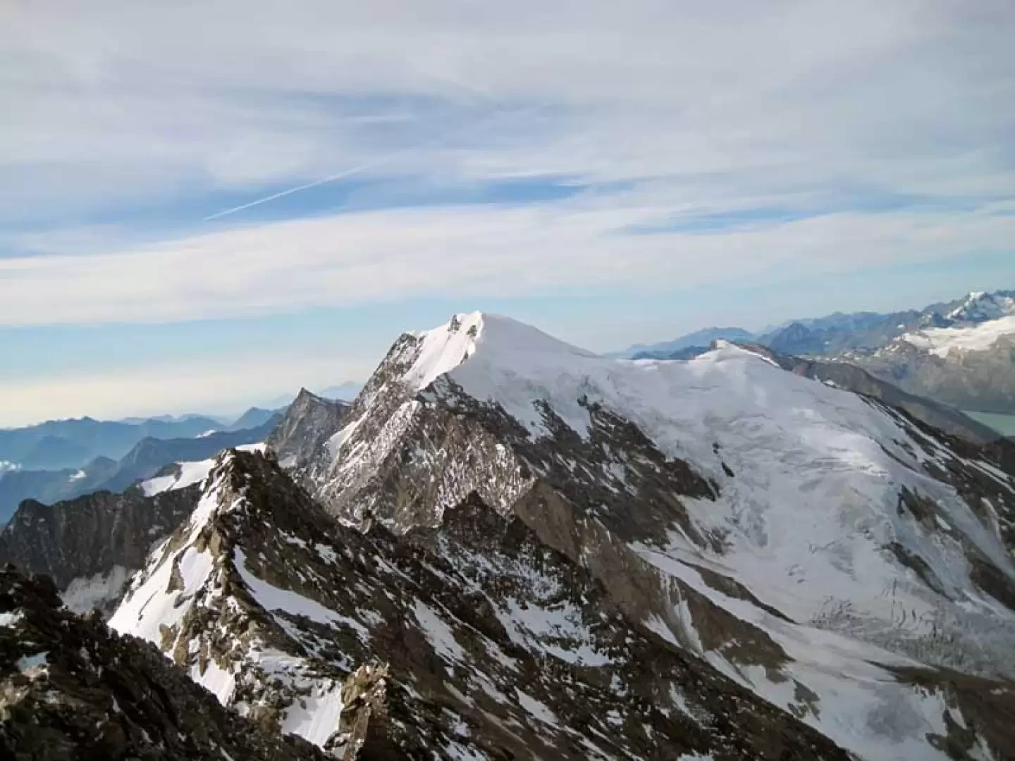
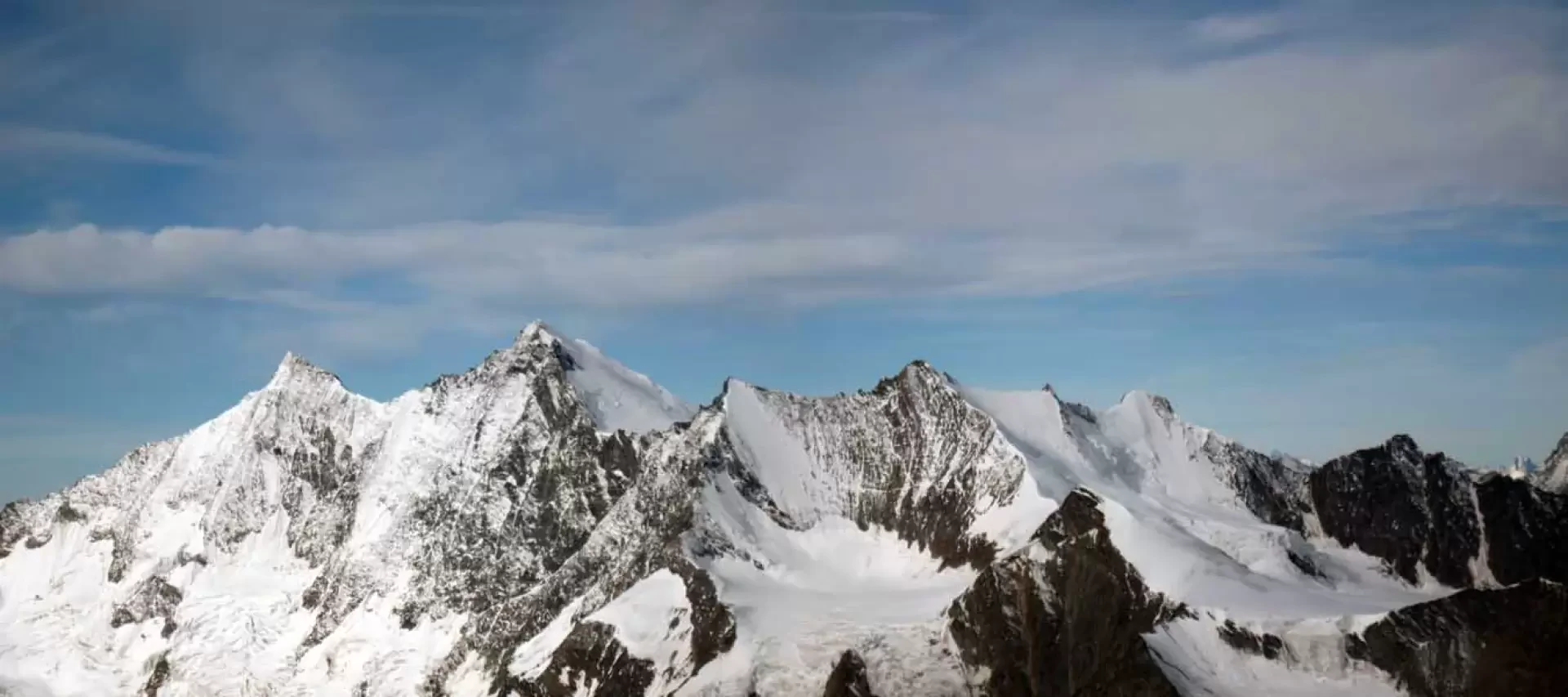
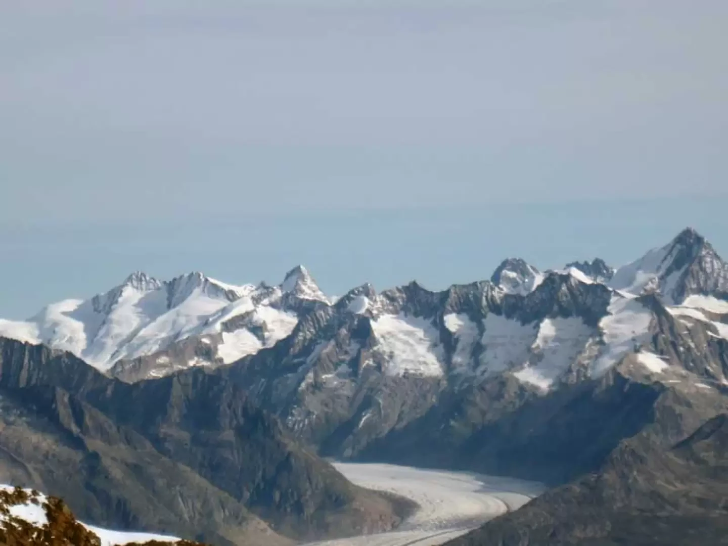
The Lagginhorn, together with the neighbouring Fletschhorn and Weissmies, is an imposing mountain that, from its southern slope, is predominantly rocky and lies at the top of the watershed dividing the Saastal and Simplon. The ascent to this 4000-metre peak is popular because it is never difficult or demanding, although not trivial, and allows magnificent views of the nearby 4000-metre peaks of Saas Fee, Zermatt and, to the north, the more distant Oberland. In late season, the ridge is usually clean and crampons are only used on the final part; there are no particular exposures and hands are only used a few times: these prerogatives ensure that the ascent is never boring, on the contrary, pleasant and enjoyable. From Hohsaas, the ascent to the summit takes around 3h 30'.
.Description
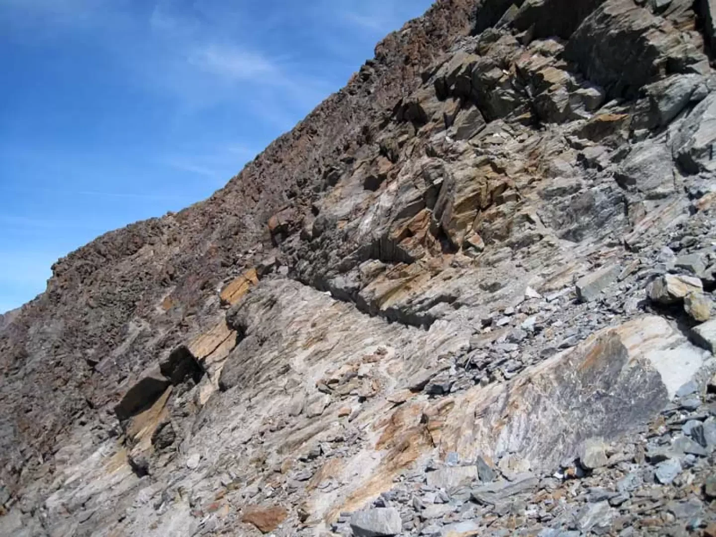
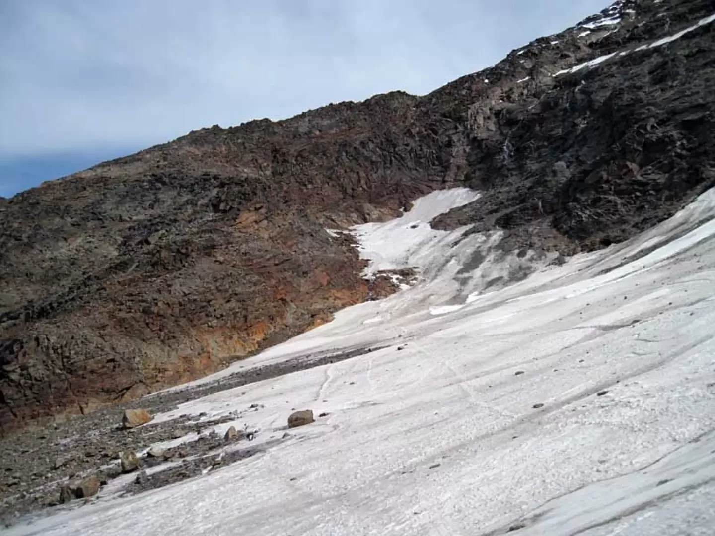
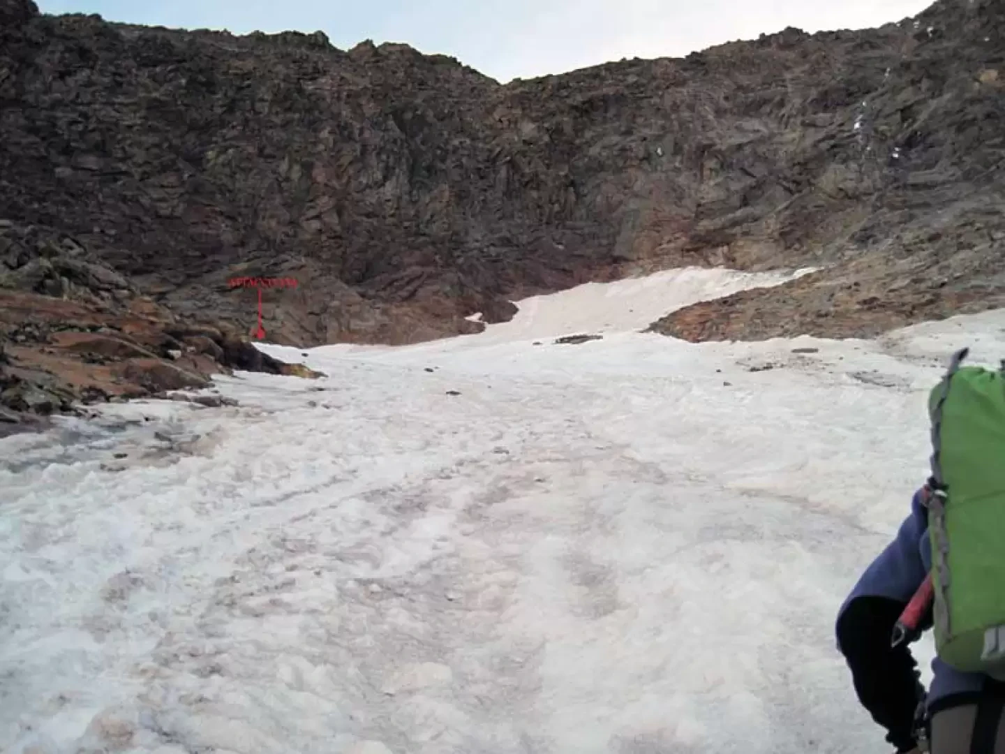
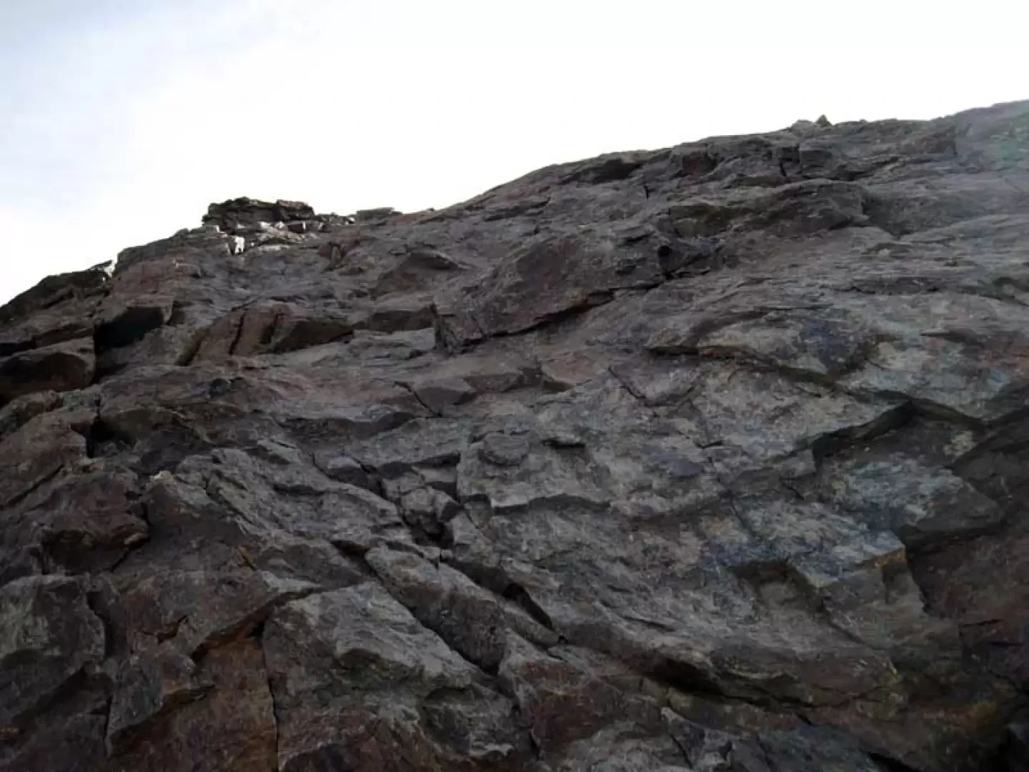
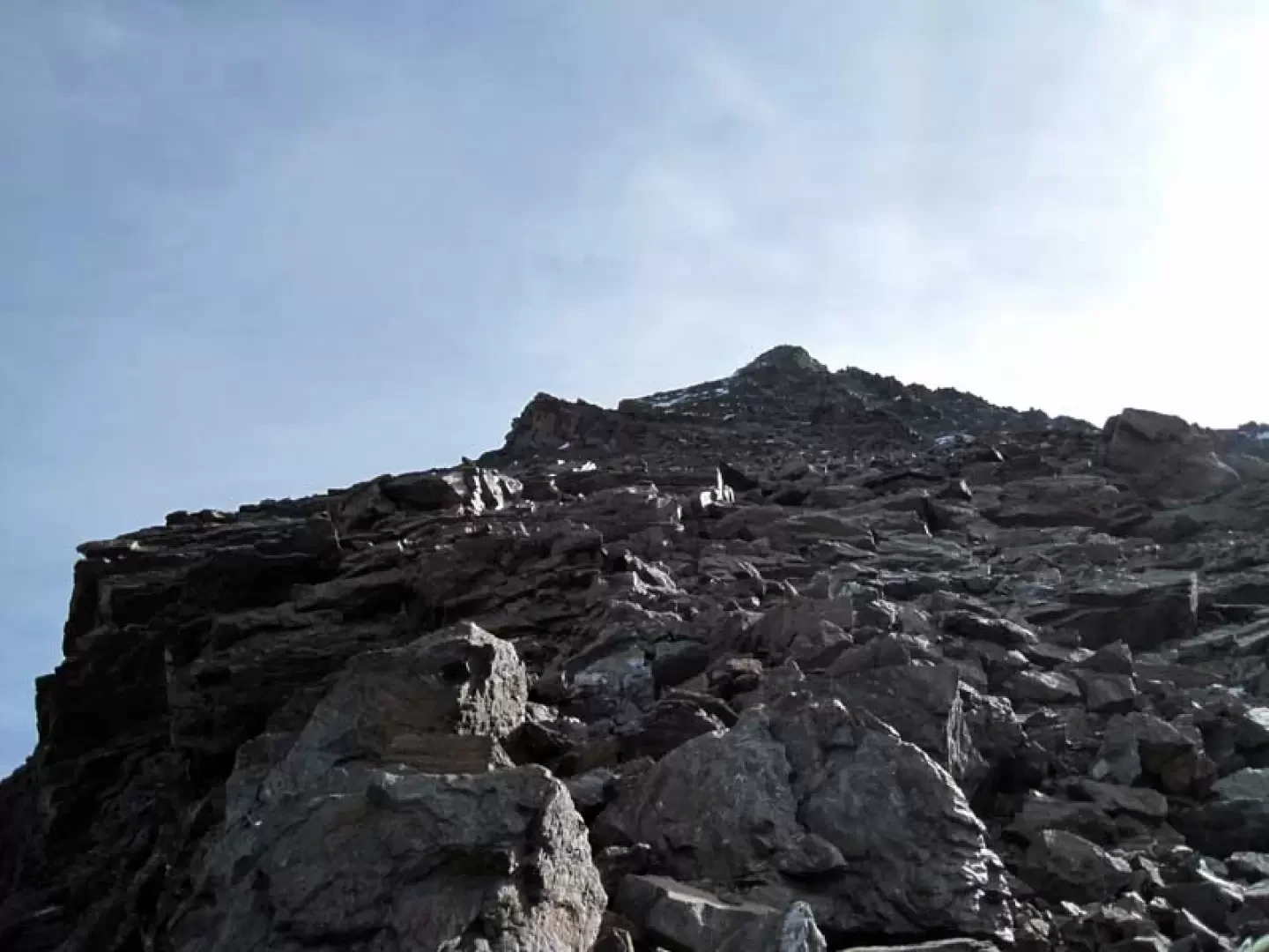
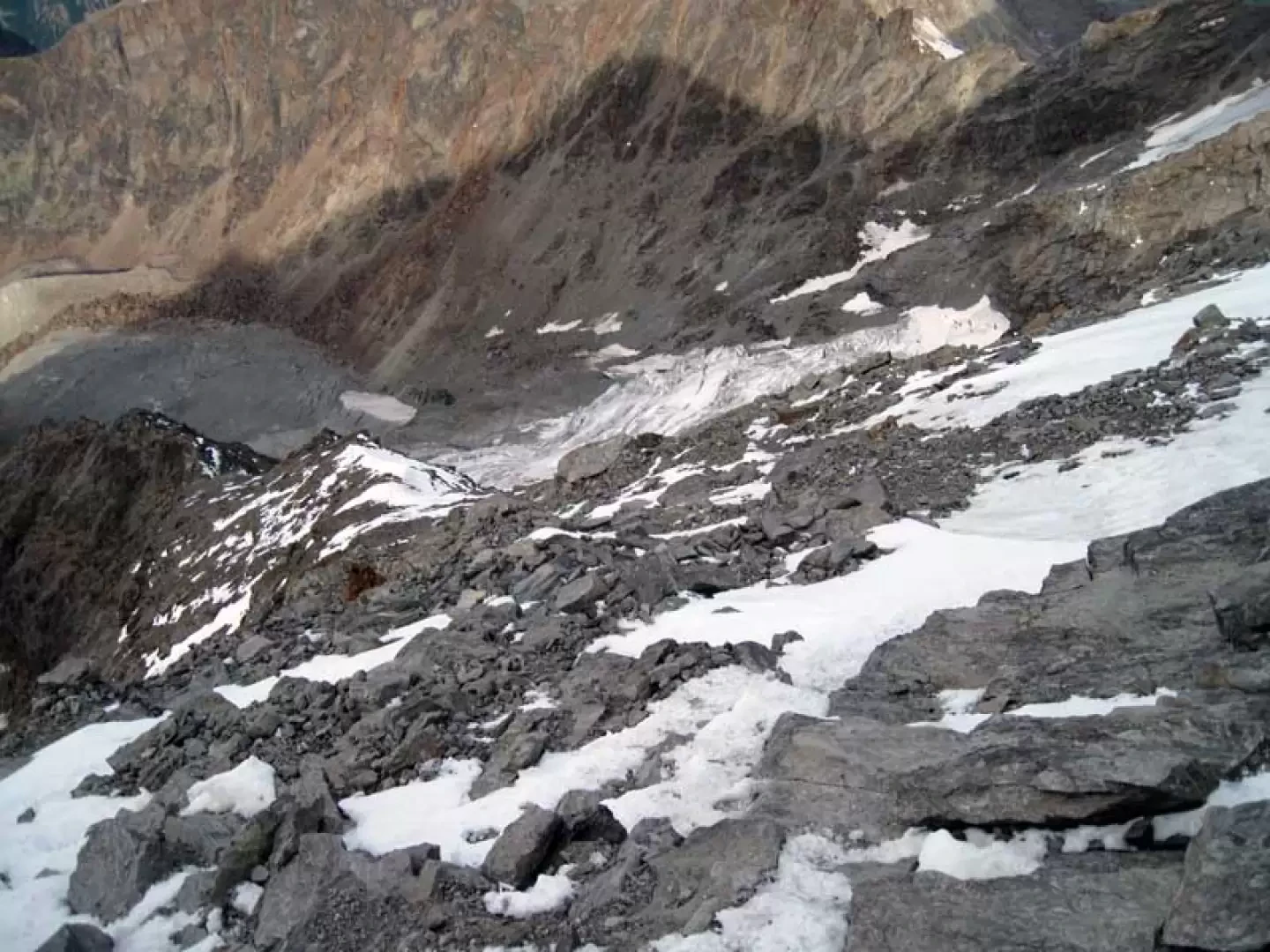
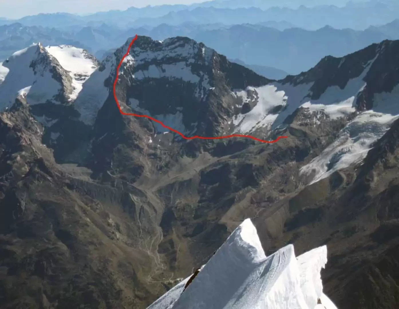
From the refuge, head towards the post just below it and continue downhill on the dirt track for a few dozen metres to the first cable car pylon where you take a track to the right. Continue to descend until you come to a bend to the left, near which there is a cairn of stones. Now leave the dirt track and walk along a scree slope, at the end of which, still following a few cairns of stones, you reach the rocky lower part of the Hohlaubgletscher. Cross the rocky lower part of the Hohlaubgletscher, paying attention to any verglass, on the wide, smooth stones and head towards an evident ledge of reddish stones that cuts, slightly uphill from right to left, the side of a rocky ridge and cross it with the help of a steel cable (this section also becomes delicate if wet or in the presence of verglass) reaching the edge of the ridge where there is a stone cairn (3144 m). From this point, descend to the right on large moraine stones, losing little altitude, and set foot on the small Lagginhorngletscher. Obliquely sloping upwards, head to the upper left towards a large, reddish-coloured rocky promontory; just past it, climb up a short, somewhat steep slope of the glacier and turn left near some low, smooth stones (approx. 3366 m). Aided by a few stone cairns and later also some red markers, climb diagonally up to the edge of the ridge. Climb back up along vague tracks over loam and stones, also following a few cairns and some red markers, keeping mainly on the right-hand side and, with the help of your hands only in a few passages, you reach a collar (3528 m) and contour to the right to an outcrop after which you reach a second notch (3650 m) from which there is a beautiful view of the nearby Fletschhorn. Climb up, traversing a little to the right, some smooth slabs and continue without a fixed route on the wide rocky ridge, arriving high up near a snowy ridge. Once you have passed it, you easily climb a few more large boulders and thus arrive at the scenic summit cross.
Photo gallery


Comments (0)
Sign in to leave a comment