Dômes de Miage, from Les-Contamines-Montjoie


Edited by:
Giancarlo Beretta
Updated at: 11/11/2025
Introduction
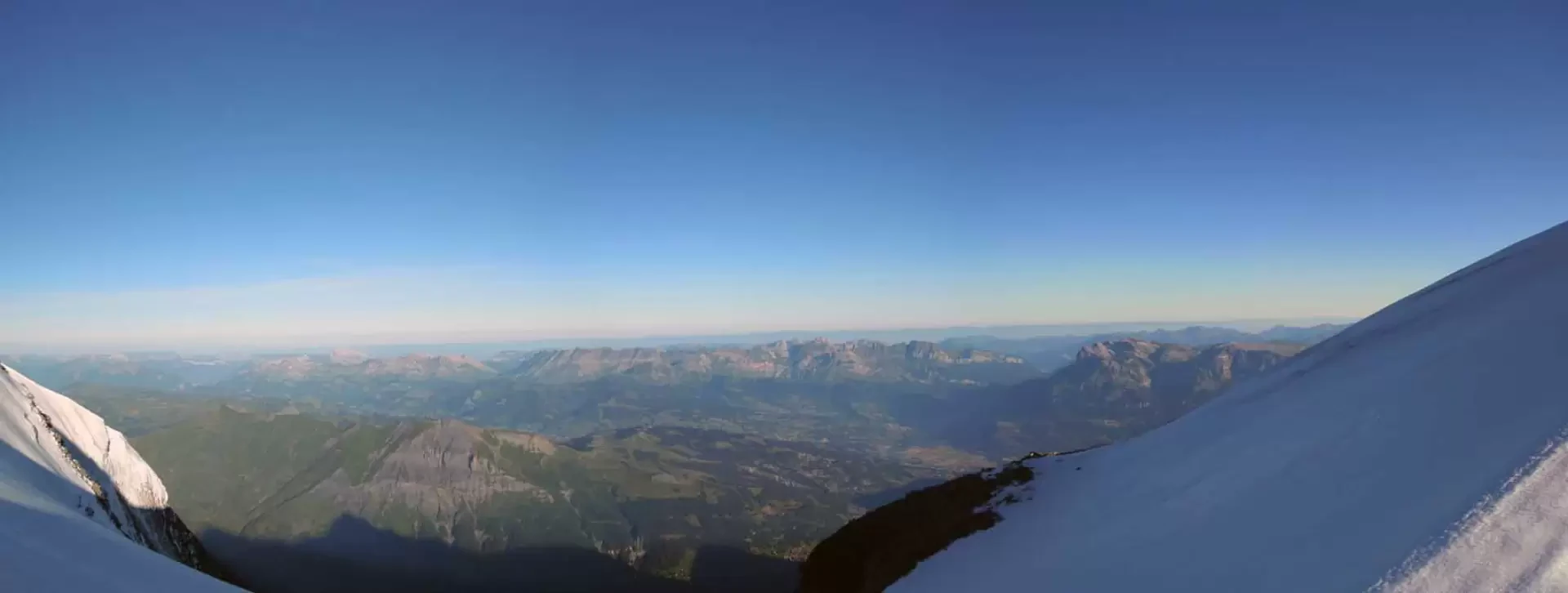
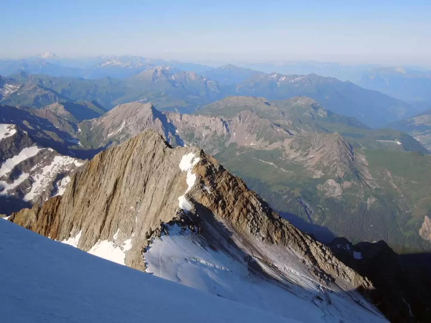
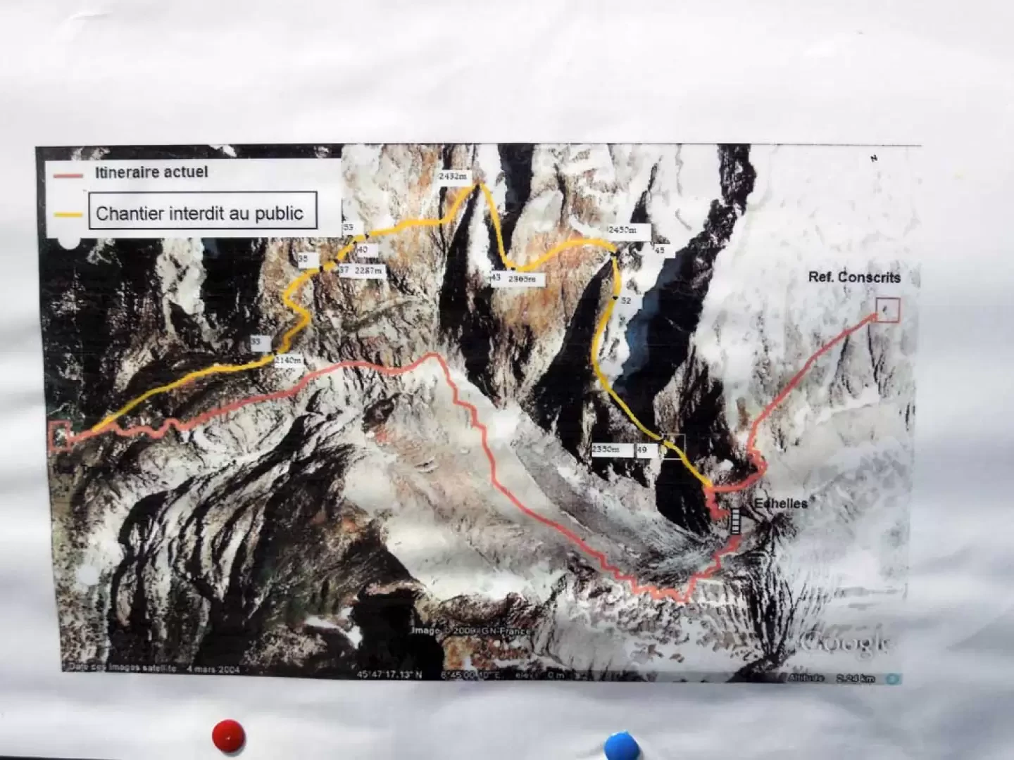
The Dômes de Miage are located on the southernmost part of the spectacular ice ridge that from Mont Blanc, and more precisely from the Dôme de Goûter, branches off to the west, where the Piton des Italiens and the imposing Aiguille de Bionassay meet in the central part. The ascent is long (just over 28 km) but very satisfying and takes place in grandiose, wild and isolated environments with a ridge traverse that allows us to have unusual and suggestive views of the impervious western slope of Mont Blanc, the Aiguille de Bionassay and the northern slopes of the Aiguilles de Trè la Tete, La Lex Blanche and des Glaciers, not to mention the splendid panorama of Haute Savoie to our right.The greatest difficulties are encountered on the ridge, which can also be very sharp and exposed, especially towards the peak at 3664 m, and on the descent towards Col de la Bèrangére, which is steep and often on live ice with the relative crossing of the terminal where due care must be taken. Please note that the route to reach the Refuge des Conscrits from Trè la Tete will be replaced by the end of this year by a new path that will no longer descend on the glacier and between the moraines, but will remain higher up by traversing the grassy flanks of the mountain (see map in the photo gallery).
Description
1st day
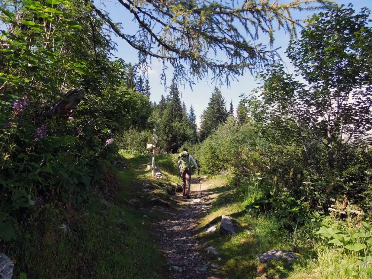
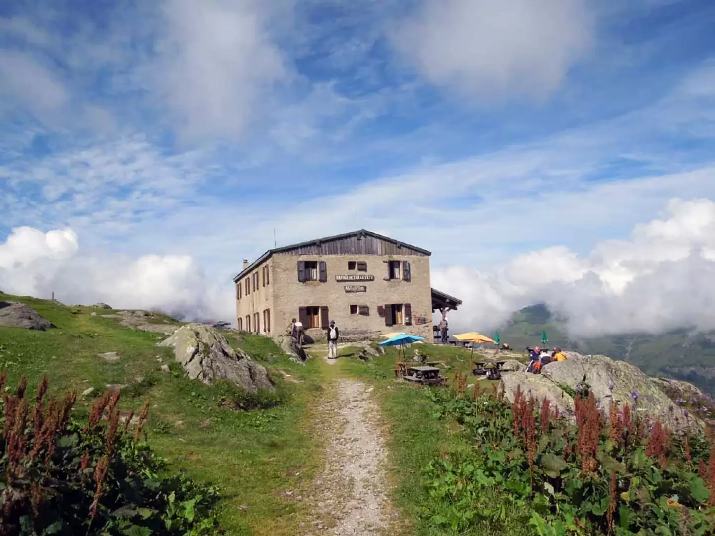
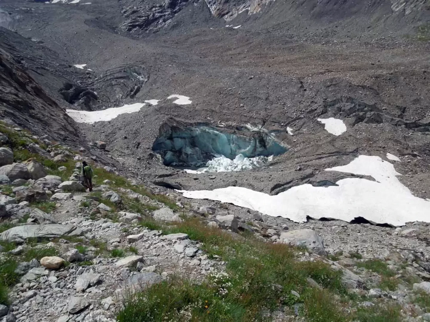
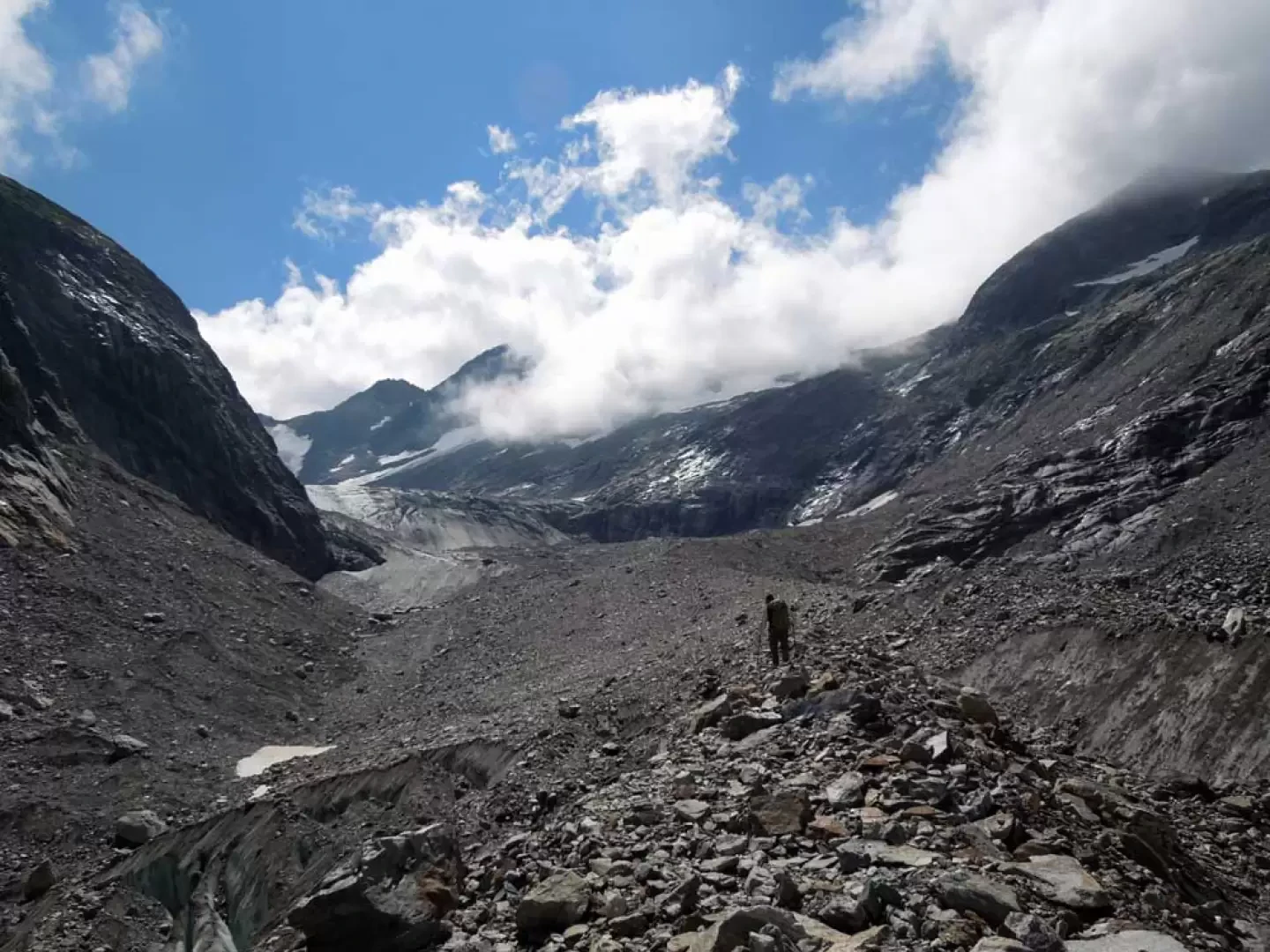
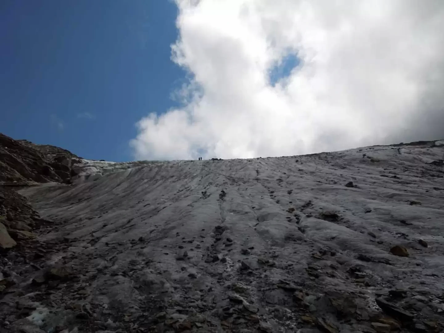
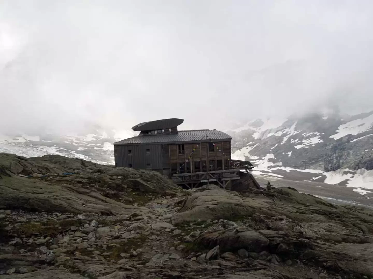
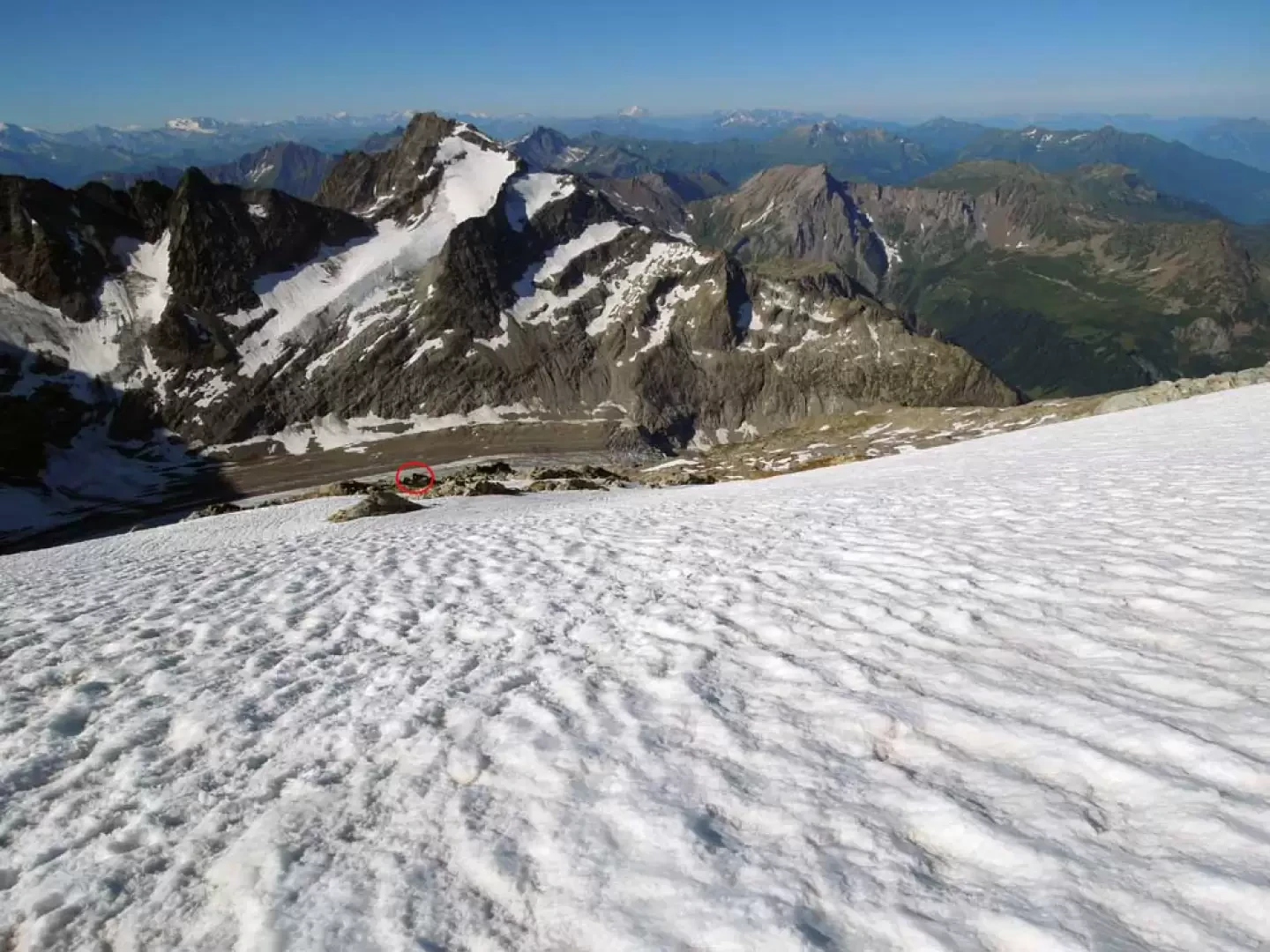
From the car park, take the tarmac road that starts out from a little wooden hut and, after a few dozen metres, turn right and take the path that enters the forest at a few signposts and an explanatory panel about the Contamines-Montjoie nature reserve. You immediately pass a fork in the path, keeping to the left, after which the trail rises quite steeply through the dense forest of beech, birch and conifer trees and, after a few hairpin bends, you come to another fork in the path (1540 m) at which you continue straight on. Now the path flattens out slightly and with a half-hill path, you pass a first fork (1750 m) with a path coming from below and immediately after a second one (1750 m) with a path that branches off to the left; continuing crosswise and with a good slope, you reach the Trè la Tete hut (1978 m) situated in a panoramic position on a grassy shoulder. To the left of the hut are the signposts for the Des Conscrits hut. With the path that first goes round the low grassy promontory and then goes up and down the side of the mountain with a few ups and downs, you reach the point where you have a beautiful panoramic view of the Tré la Tête glacier; from the path, at a clearly visible stone cairn, you begin the descent where, with the help of a few chains and handrails, you are helped to overcome some smooth rocks. Continuing the descent, it becomes steeper and steeper on friable terrain and you reach the bottom of the moraine valley to the left of a large ice chasm. Cross it on the left and then move to the right to reach the centre of the valley (cairns), where you continue along the edge of the large central moraine, taking you to below the front of the Tré la Tête glacier; ascending it at its steepest point, you set foot on the flat upper plateau (you can also take the path that turns to the left to reach the long metal stairs, but there is a risk of rocks falling from above, where there is uneven ground with unstable stones). From here, continue for a hundred metres or so, moving to the left of the glacier (orographic right) to cross the morainic bumps and go under the grassy-detritic slope (cairns); you will then spot a cairn of stones with a metal stick where the steep upward traverse begins. Having laboriously reached the top of the scree slope, the path flattens out slightly and continues on grassy terrain; after a few hairpin bends, it climbs more directly until the hut des Conscrits (2605 m) can be seen at the last moment and is reached in a few minutes.
2nd day
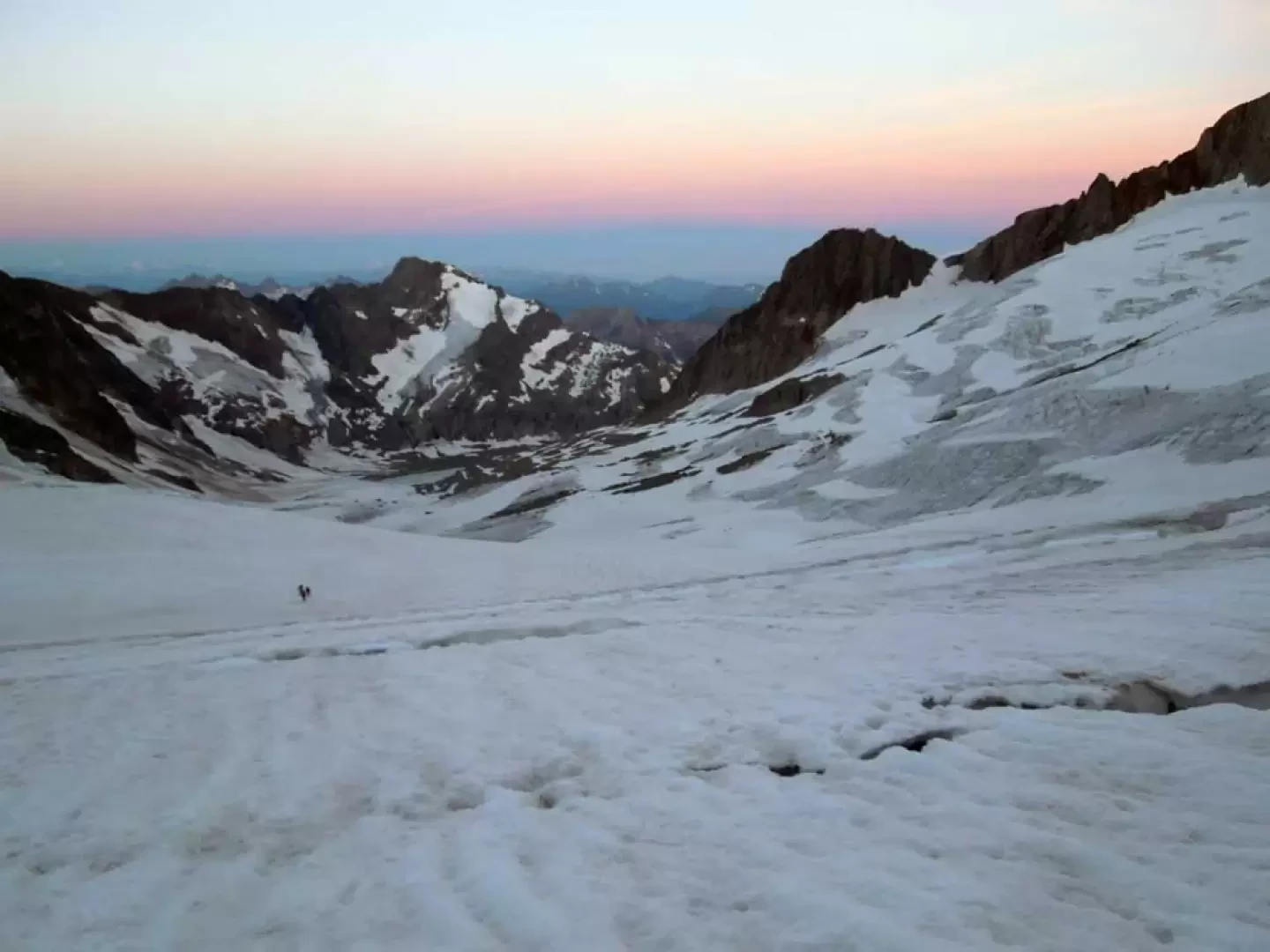
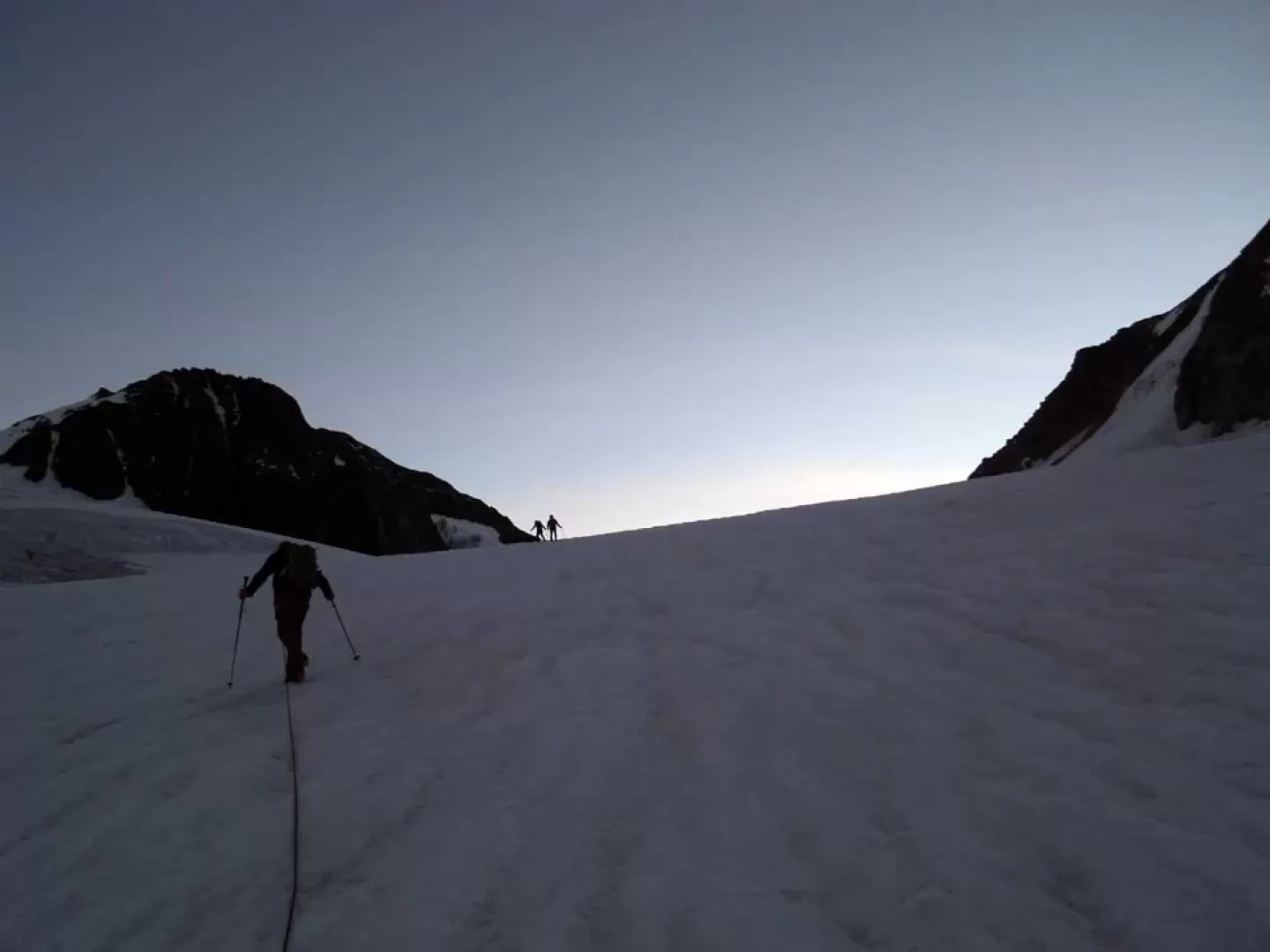
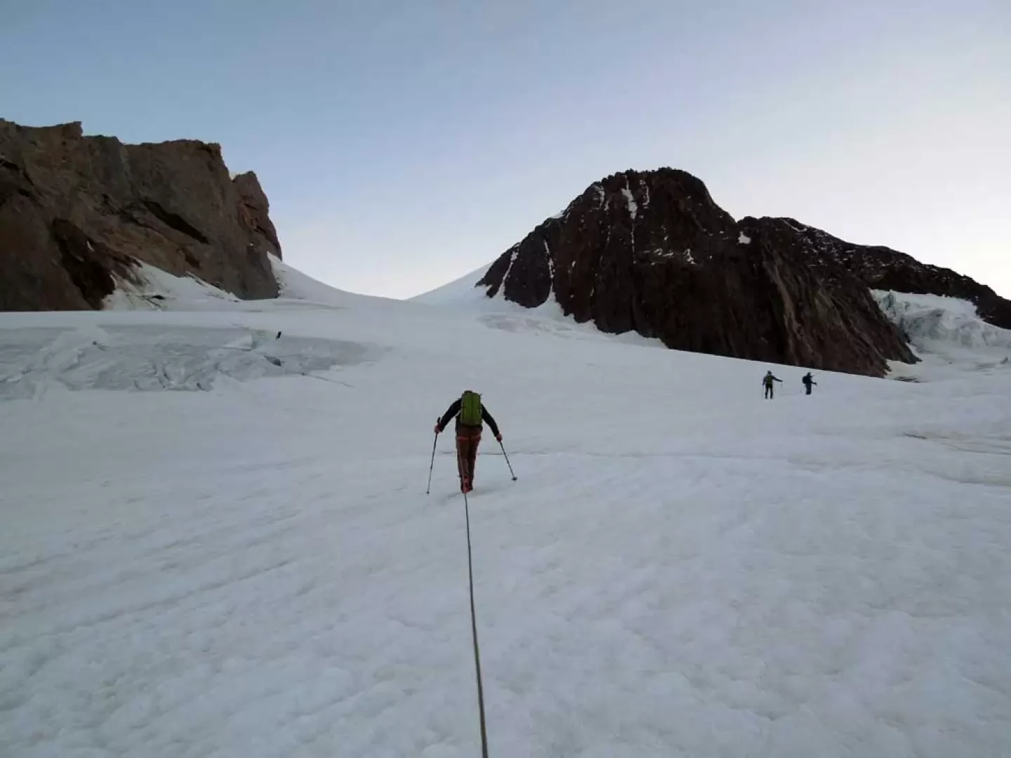
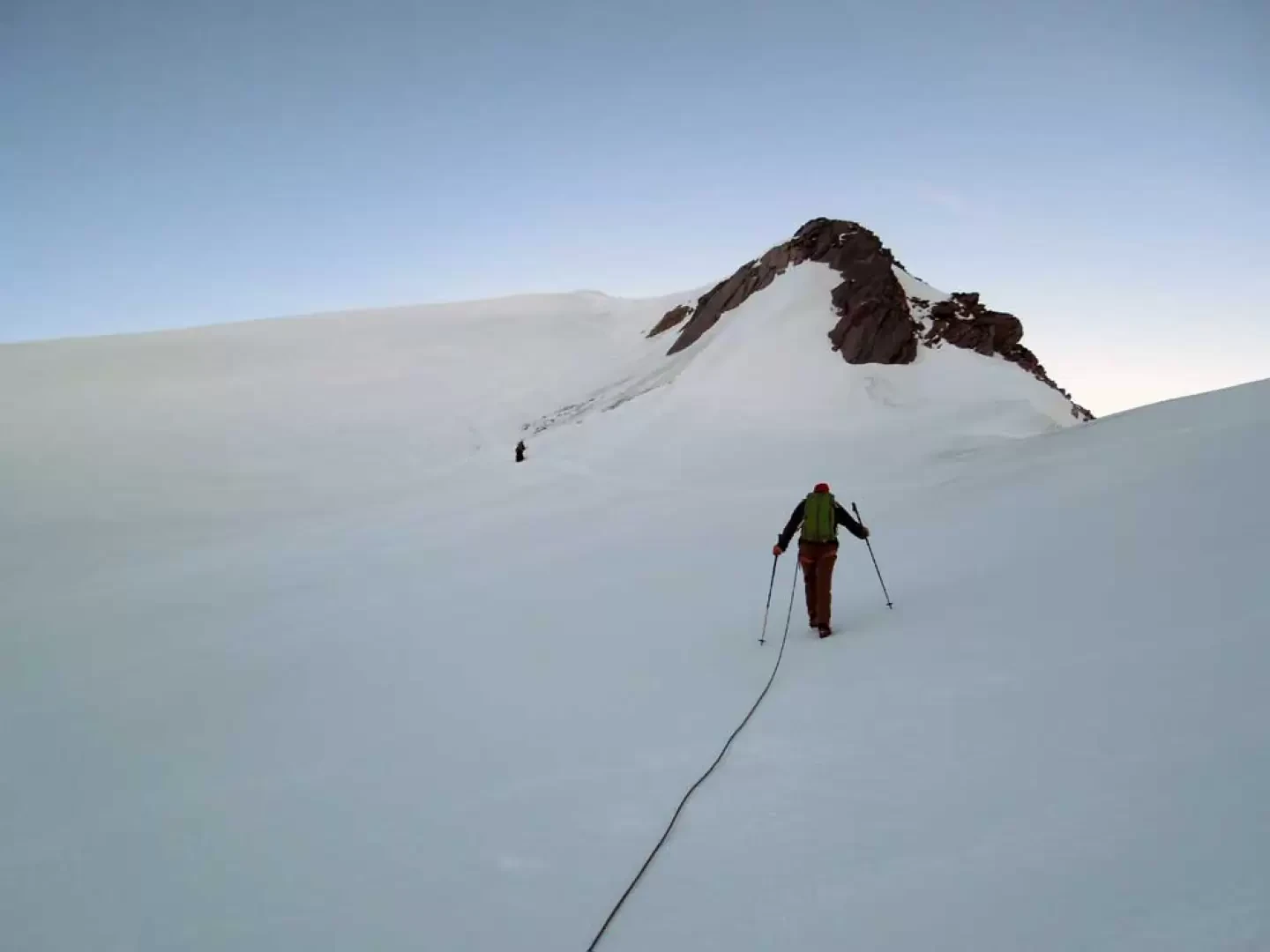
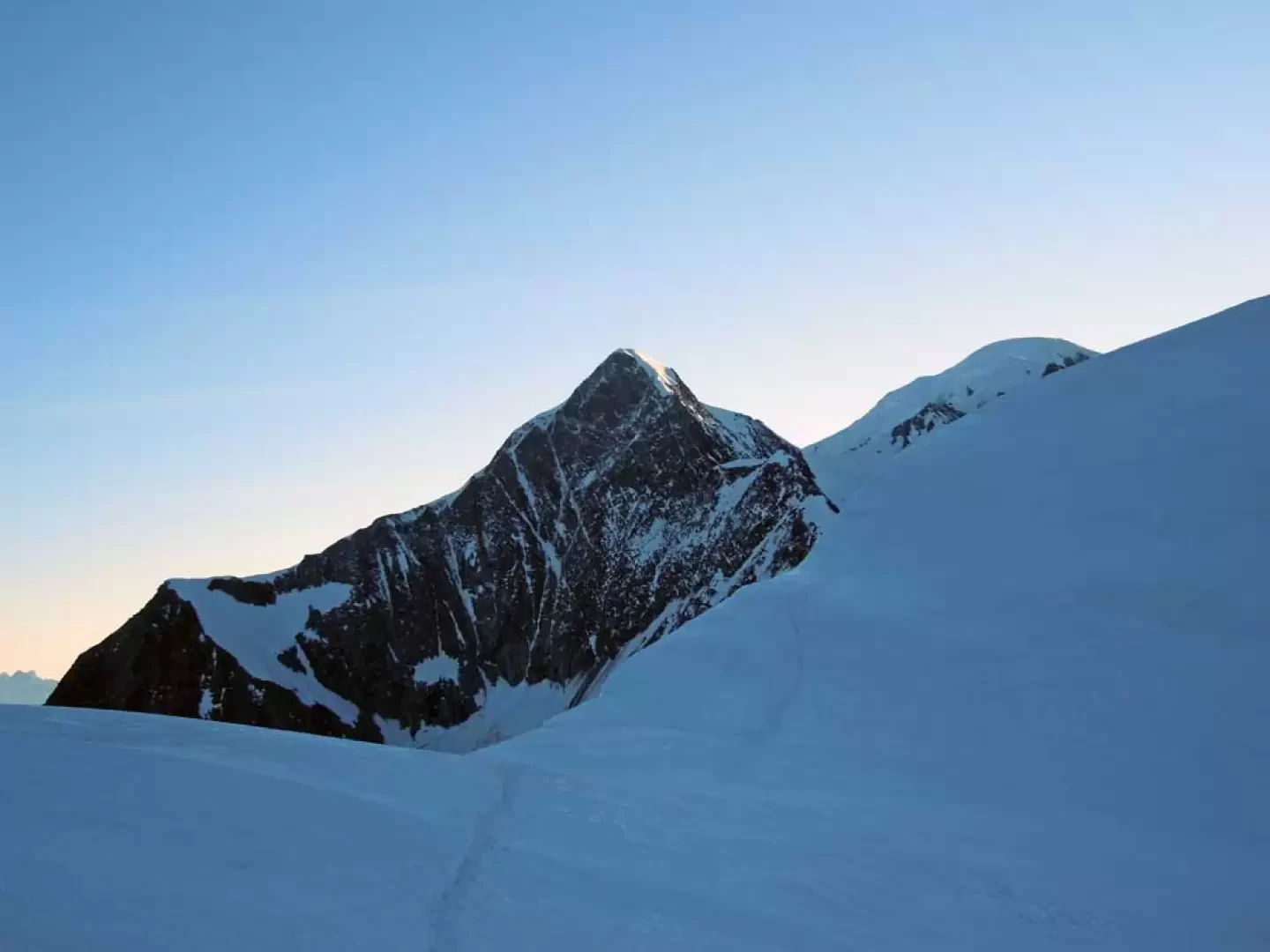
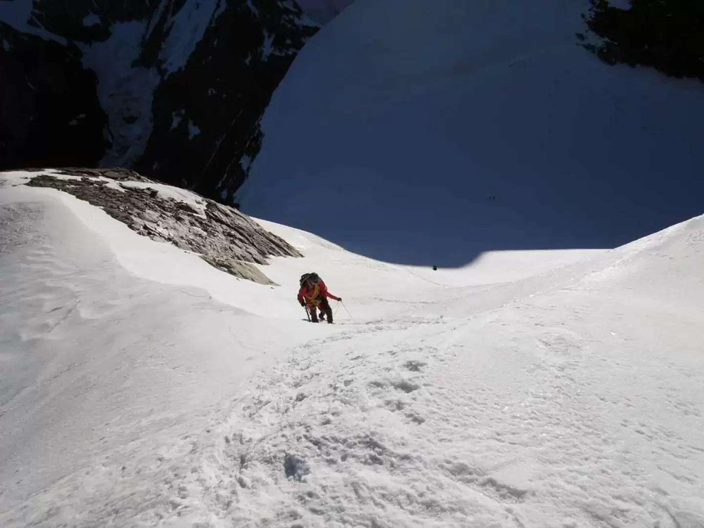
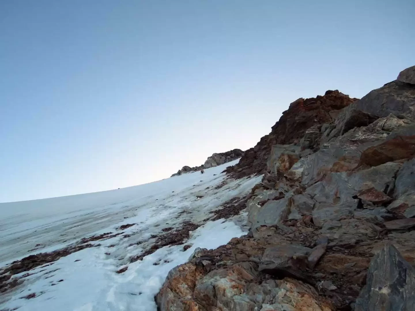
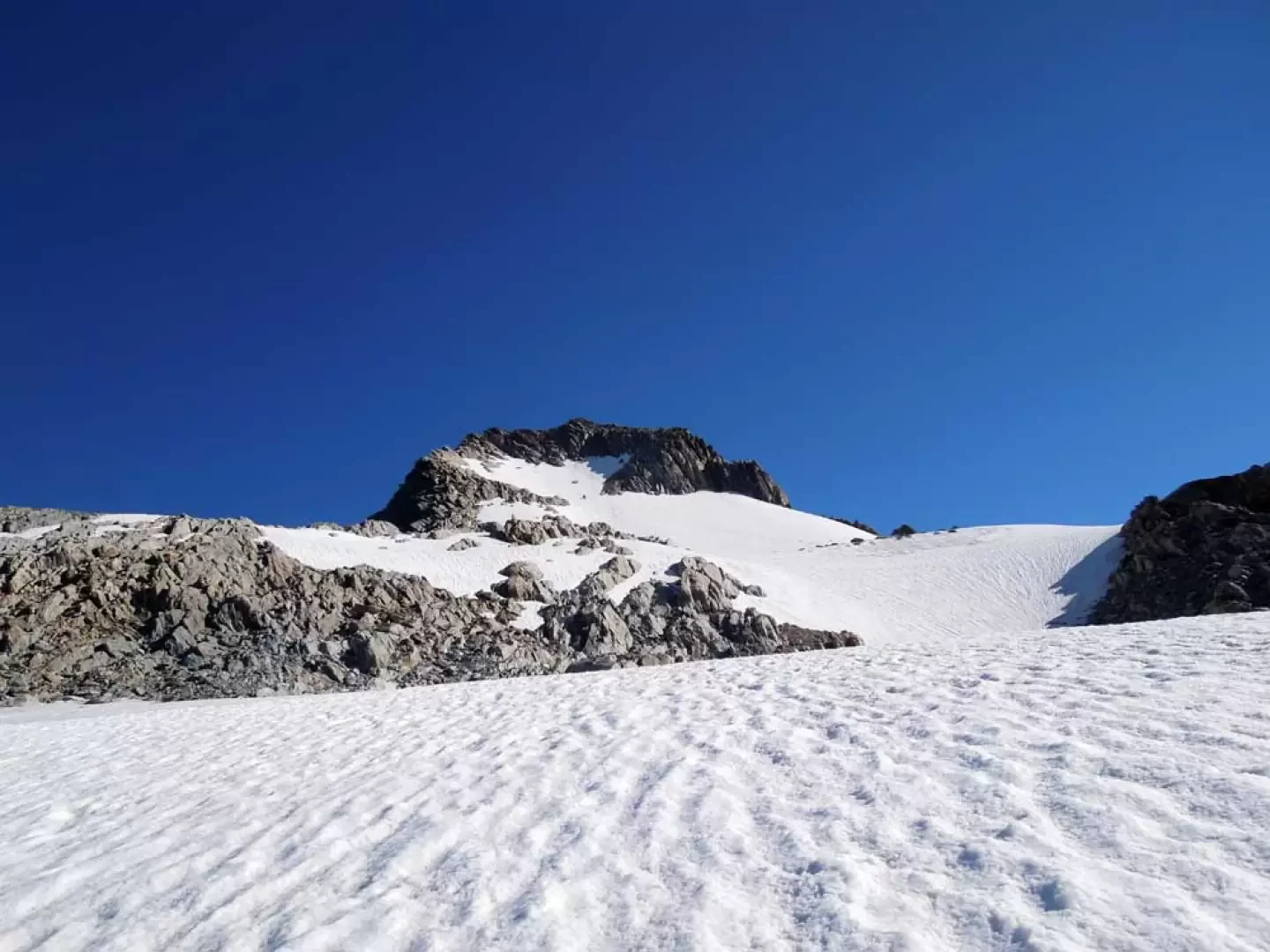
From the back of the hut, the path starts, clearly marked by stone cairns, which with little slope goes around the morainic slopes alternating with snowfields of the Pointe des Conscrits to reach the Tré la Tête glacier at an altitude of around 2950 m. Set foot on the glacier and walk along it, at first remaining on the left (orographic right) to then reach its centre, approaching a first short, slightly steeper slope, which is climbed and then meets another slope at the top of which the gradient decreases. Heading towards Col Infranchissable, which is clearly visible in front of us, we now move slightly to the left again and reach the base of a steep, icy slope; deviating sharply to the left, we ascend it while staying to the right (orographic left), passing close to a rock face. When you reach its summit, you reach the wide crest of the Col des Dômes (3559 m) and from here you turn left again towards a low but steep slope that you ascend, staying a little to the right; at its end you reach an ice cap (3636 m) from which the ridge begins, which appears elegant and sinuous before us. Now the route is obviously obligatory and one reaches a first peak (3664 m) with a very aerial route on the ridge line in its final part; one then descends briefly to a col and ascends a second peak (3674 m) which one passes remaining slightly to the right of the line (exposed). After this section, remain slightly to the right of the ridge line until you reach a rocky point from which you descend to the steep slope below, which is often made of live ice, and, bypassing a small rocky spur, you arrive at the Col de la Bèrangére (3355 m), paying attention to the passage of the terminal. We now follow a short, airy snowy ridge that takes us to the base of the Aiguille de la Bèrangére, which we first ascend over some small rocks and then continue with a traverse below the ridge line on the small snowfields of the south face (left). Having reached, with a few athletic passages, a fork, climb easily up the short drop that takes us to the summit (3436 m). Now begin the descent, taking a track on scree which starts from the left of the peak and goes along a steep gully of unstable rocks and fine detritus until you reach the snowfield below; descend it first on the right and then turn left where the path flattens out temporarily at a wide shoulder. From here, descend on the right with a direct route along snowy gullies, even in advanced season, or on morainic ridges (cairns), arriving at a hump where the path is found which leads to the refuge in a few minutes.
Photo gallery


Comments (0)
Sign in to leave a comment