Valley of the Rats

Edited by:
Paolo Erba
Updated at: 09/12/2024
Access
From Milan take state road 36 to Colico, here follow the signs for Chiavenna and when you get to Verceia turn right through the village. At the top of the village you turn left and drive uphill until the asphalt road ends. The Valle dei Ratti is the first valley one encounters on the right on the way to Chiavenna from Milan. Slightly sidelined because of its proximity to the more famous Val Codera, it deserves to be rediscovered in all its beauty.
Introduction
Interesting two-day itinerary to discover the wild Rat Valley.
Description
We take the dirt road on foot, and immediately to the left we find a signpost that sends us onto the historic mule track that joined the Ratti valley to the bottom of the Chiavenna valley. We thus enter a beautiful chestnut grove with centuries-old trees. A steep but never excessively steep climb leads to the little church of the alpini, where you will find a picnic area with one of the many drinking fountains dotted around the valley.
You continue along the mule track, arriving shortly at the Tracciolino.
This is an actual road built in the 1930s to join the Val dei Ratti to the Val Codera halfway up the mountainside in order to transport men and materials needed for the construction of the dams and pipelines in the area.
From the Tracciolino crossroads, we continue straight uphill towards Castan (975 m), whose name is all too evident. The characteristic hamlet can actually be passed by staying low, but it is worth the slightest diversions to visit the village: a few houses with characteristic architecture and an additional fountain where you can quench your thirst.
Returning to the main path, which has recently been widened here, we continue uphill. We pass the junction for Moledana, leaving it on the right, a path that has recently been resurfaced after a landslide had made it inaccessible for a long time.
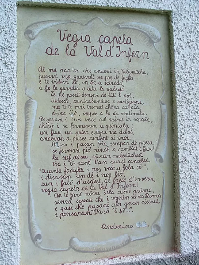
Returning along the mule track, we pass yet another drinking fountain and, at a bend where the valley begins to open upwards, we find the "Vegia capela de la val de l'infern" with characteristic writing in dialect. From here, Frasnedo, the valley's main hamlet, almost suddenly appears, a village that once had hundreds of residents, today with no permanent inhabitants but where you can always find a few locals who have climbed up from the bottom.
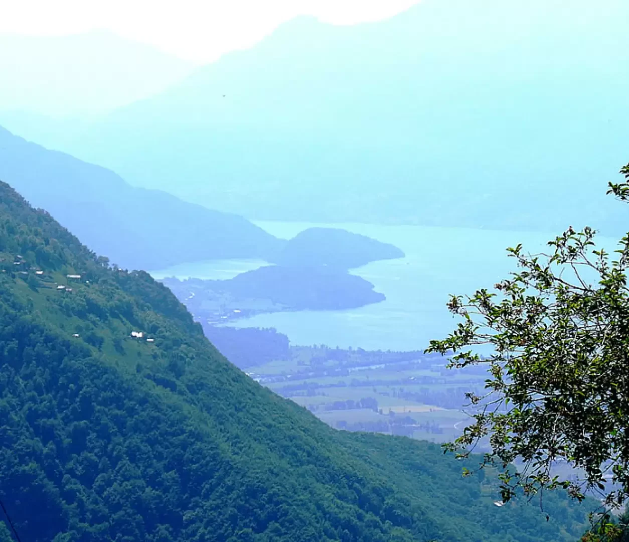
Frasnedo (1280m, 1h30') offers great views of Lake Novate Mezzola and Lake Como. The church of the Madonna della Neve, built in 1677, is definitely worth a visit.
From the church we return to the main trail. We now follow a level stretch over a meadow surrounded by birch trees, probably a sign of a pastureland that was abandoned decades ago and where the forest has regained the upper hand. Here there is a track on the right, which we ignore, marked by the Rotary that descends towards Moledana.
Having arrived at an abandoned excavator, the path continues slightly downhill to ford a stream and then ascend first to the Corveggia pastureland and then to the junction indicating to the right for Nave and Monte Bassetta. Our itinerary climbs to the left indicated by a Life signpost, following the obvious and easy track we pass a small chapel on the left, the Tabiate pasture to reach the crossroads that separates the path for the Volta bivouac from where we descend, from that for the Primalpia bivouac.
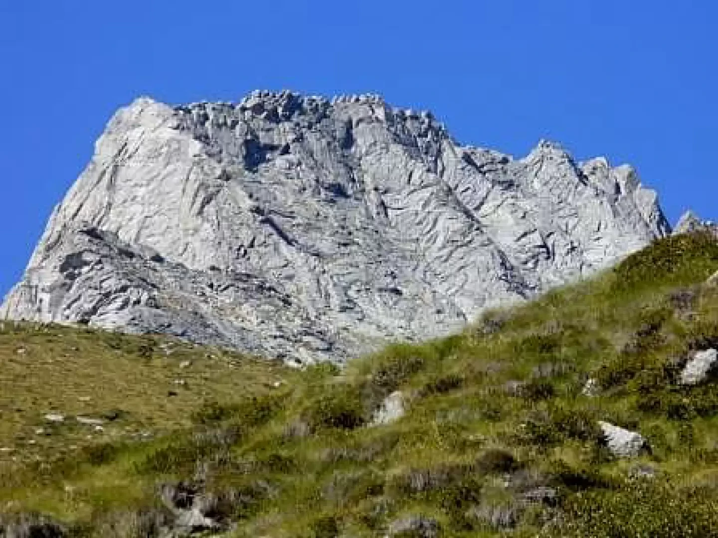
We now descend to the right to cross the bridge that takes us to the other side of the valley. From here the track, always present, becomes less clear and obvious. We cross the pastureland uphill along the stream, almost immediately finding an arrow pointing in the correct direction. A steep section now follows that quickly gains altitude. Between one hairpin bend and another, the panorama opens up in the direction of Ligoncio, the Sphinx and, slowly, the Manduino with the entire Sereno valley and its characteristic amphitheatre of rocky spires. Almost at the end of the steep section, you pass a characteristic pasture (3 hours from the start) with a larch tree in the middle. The track points to the tree and then veers sharply to the left to resume a more gradual ascent towards the head of the valley in an easterly direction. We leave the larch and fir forest and enter the magical world of high-altitude meadows and pastures. In a short time now, you pass the last rivulets and grassy rises to reach the Primalpia Bivouac (1980m, 4h00').
Those who still have strength and desire to walk after more than 1300 metres of ascent, can climb, without an obligatory route, in the direction of the Desenigo peak (or Mount Spluga) and then deviate towards the Locino pass (2636m, about 2000m ascent from the car!) watershed between the Chiavenna valley and the Valtellina.
The second day will see us engaged on the track that goes slightly uphill in the direction of the Volta bivouac, already visible from the Primalpia bivouac. Initially it is a pleasant traverse across pastures, while the small downhill stretch over the stream that cuts through the valley deserves attention even if there are chains to help. As you descend into the small valley below, you can see the track going up to Volta on the opposite side. You then ignore the Life signpost that goes up to the Primalpia pass, choosing whether to cross the scree without an obligatory route or to follow the trail markers that descend a few dozen metres and then climb again (1 hour from the Primalpia bivouac). You now pass all the mountain huts and pastures and quickly arrive at Volta (1.45 hours).
For the descent, you can either retrace the route taken as far as the little valley and then descend to the plateau, fording two fords made easy by the boulders present, or follow the marks that go south towards the Talamucca pasture to enter a narrow gorge that at the end rejoins the previous one halfway up the plateau.
The path continues comfortably flat towards the Camerà huts with spectacular views of the numerous waterfalls and torrents rushing down; then begins a steep descent that will take us back into the woods at the junction of the day before for the Primalpia bivouac (3 hours).
We now retrace our steps along the road already taken to Corveggia. Here you must pay attention to the marked but not obvious track that descends to the left. You descend fairly quickly towards the stream, walking through a meadow of strawberries until you reach the huts where the concrete bridge is located that allows you to cross to the other side. All that remains now is to descend easily on the obvious path in the direction of Moledana, where there is a curious 'rope barometer'. Still descending without any difficulty, we arrive at the crossroads that indicates Foppaccia to the left, straight ahead, unmarked, leading to Zocche and to the right to the dam. Taking the latter fork, one crosses the entire dam, imposing for its height that closes and dominates the narrow gorge. On the other side we find the Tracciolino tracks, which in a few minutes will take us back to the crossroads where we passed the day before (5 o'clock). We then descend to the left, returning to the car in about half an hour.
General information
Type of route: a/r
Recommended period: June, July, August, September
Sun exposure: west
Galleria fotografica