Tschawinerpass

Edited by:
Giancarlo Beretta
Last survey: 24/09/2012
Updated at: 16/11/2025
Updated at: 16/11/2025
Length
10.00 Km
Departure altitude
1300 m
Arrival height
2418 m
Positive difference in height
1078 m
Negative difference in height
1078 m
Round trip time
03h00'
Recommended period
Description
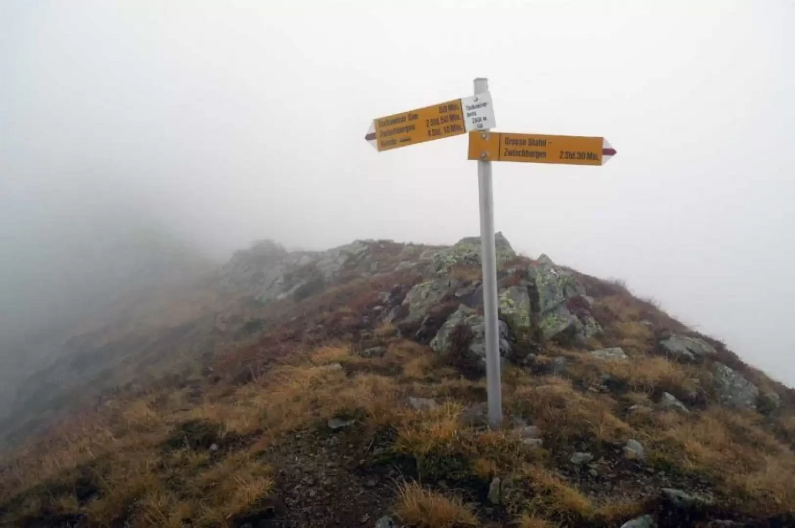
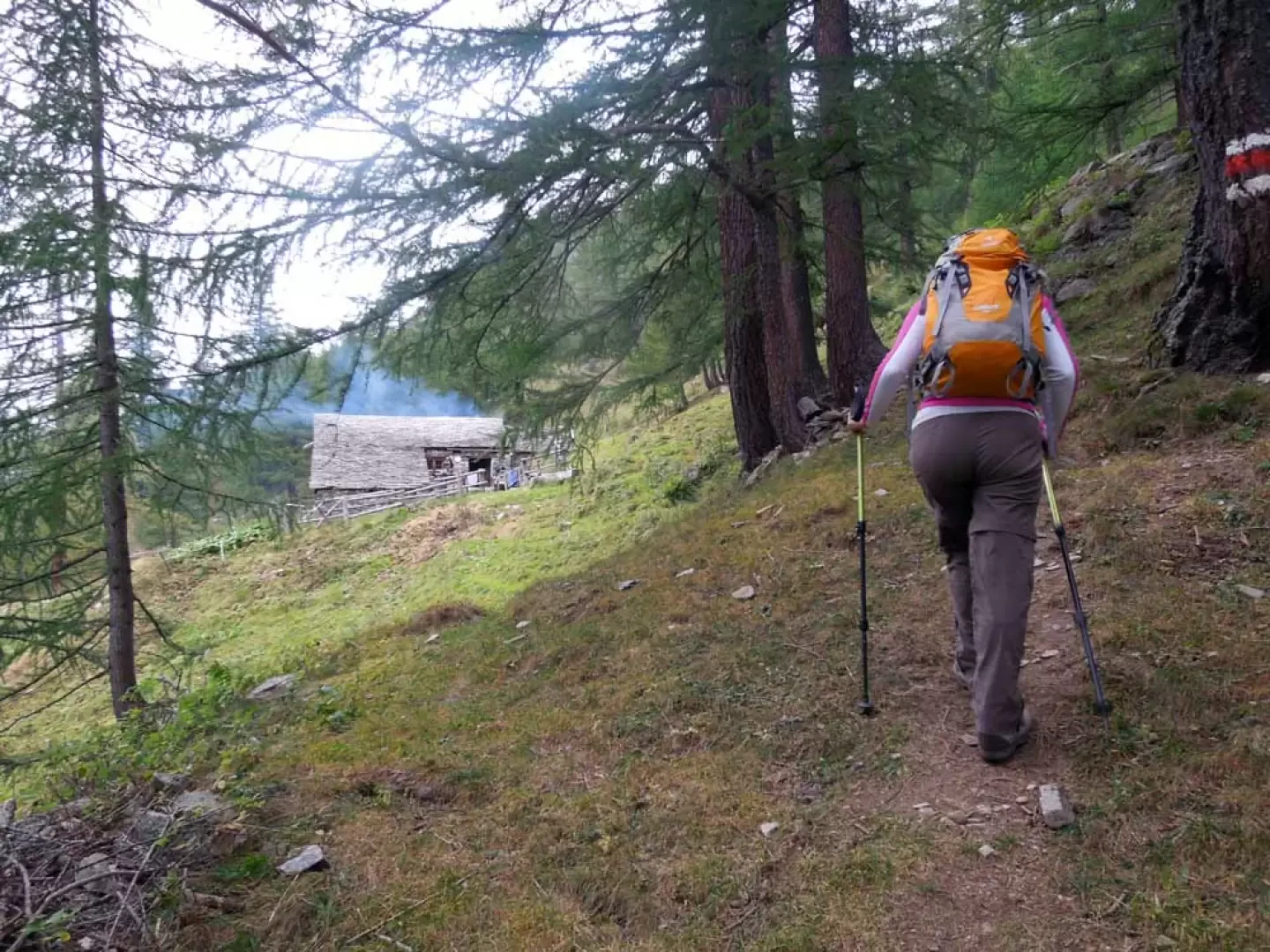
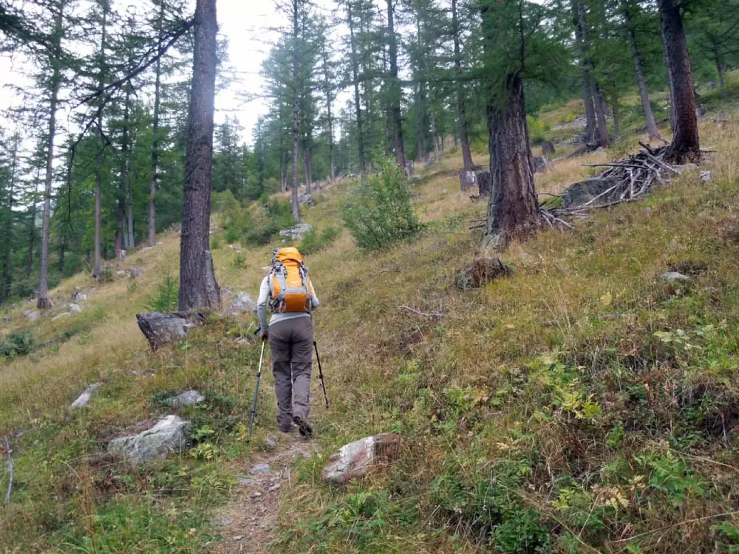
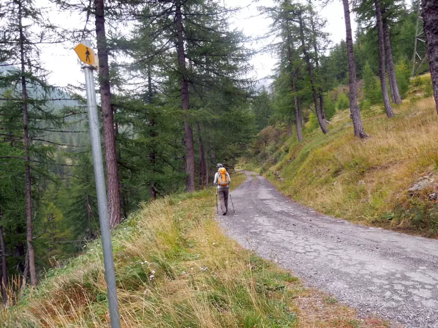
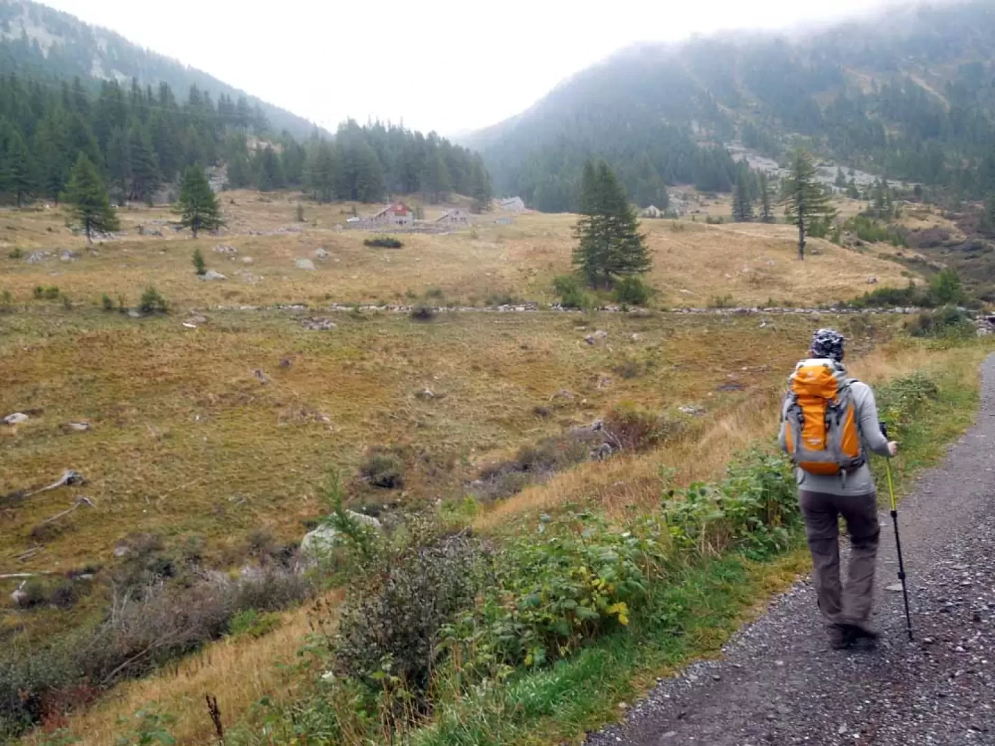
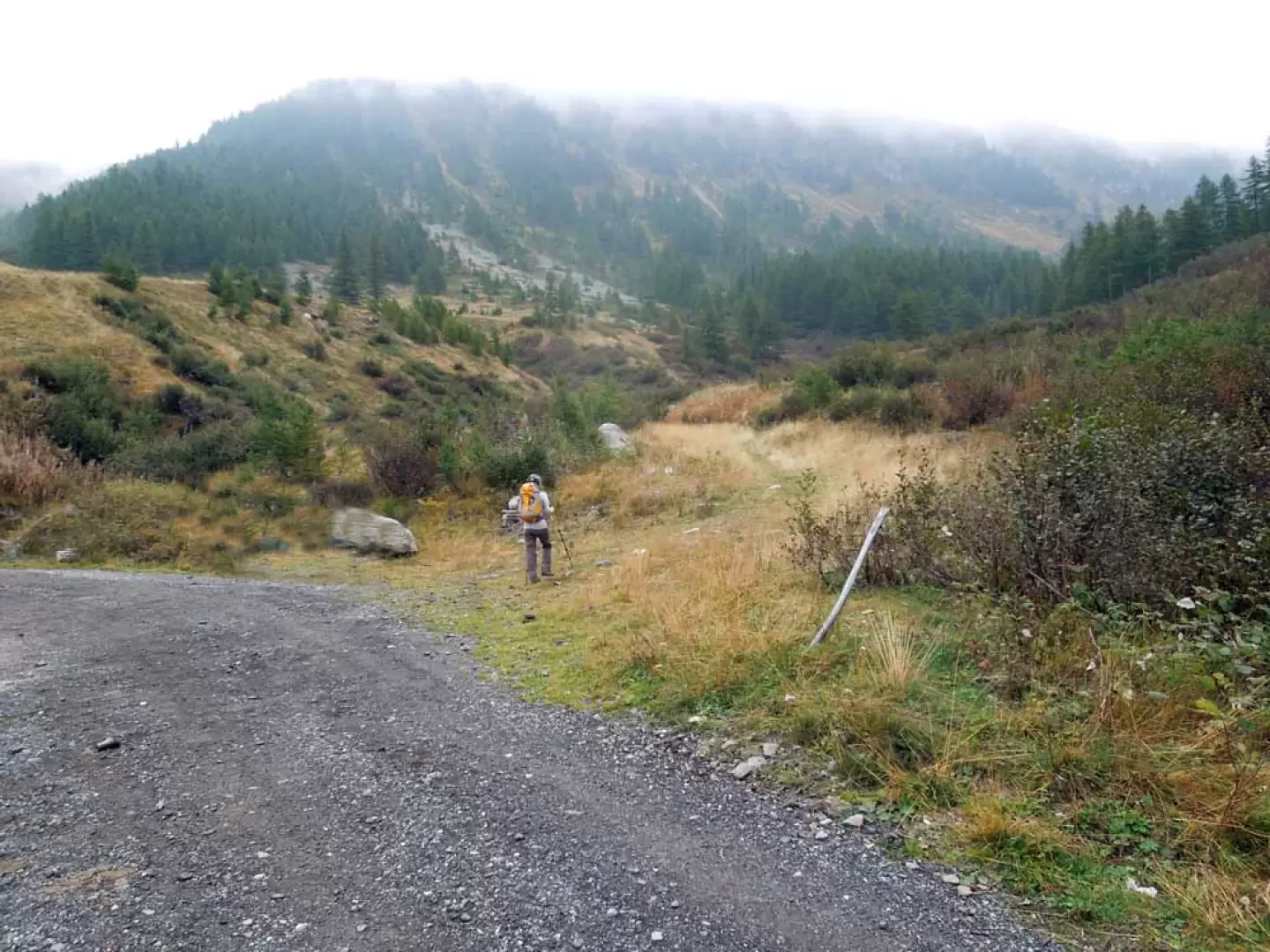
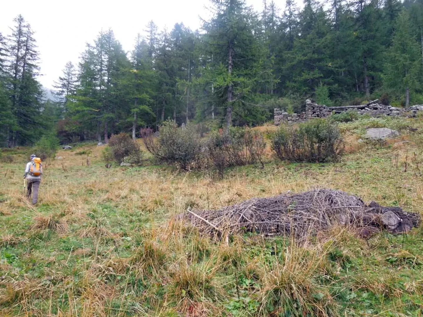
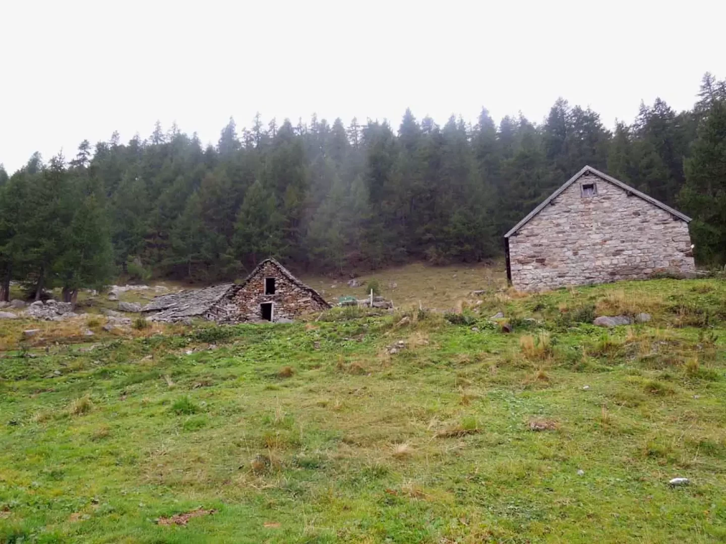
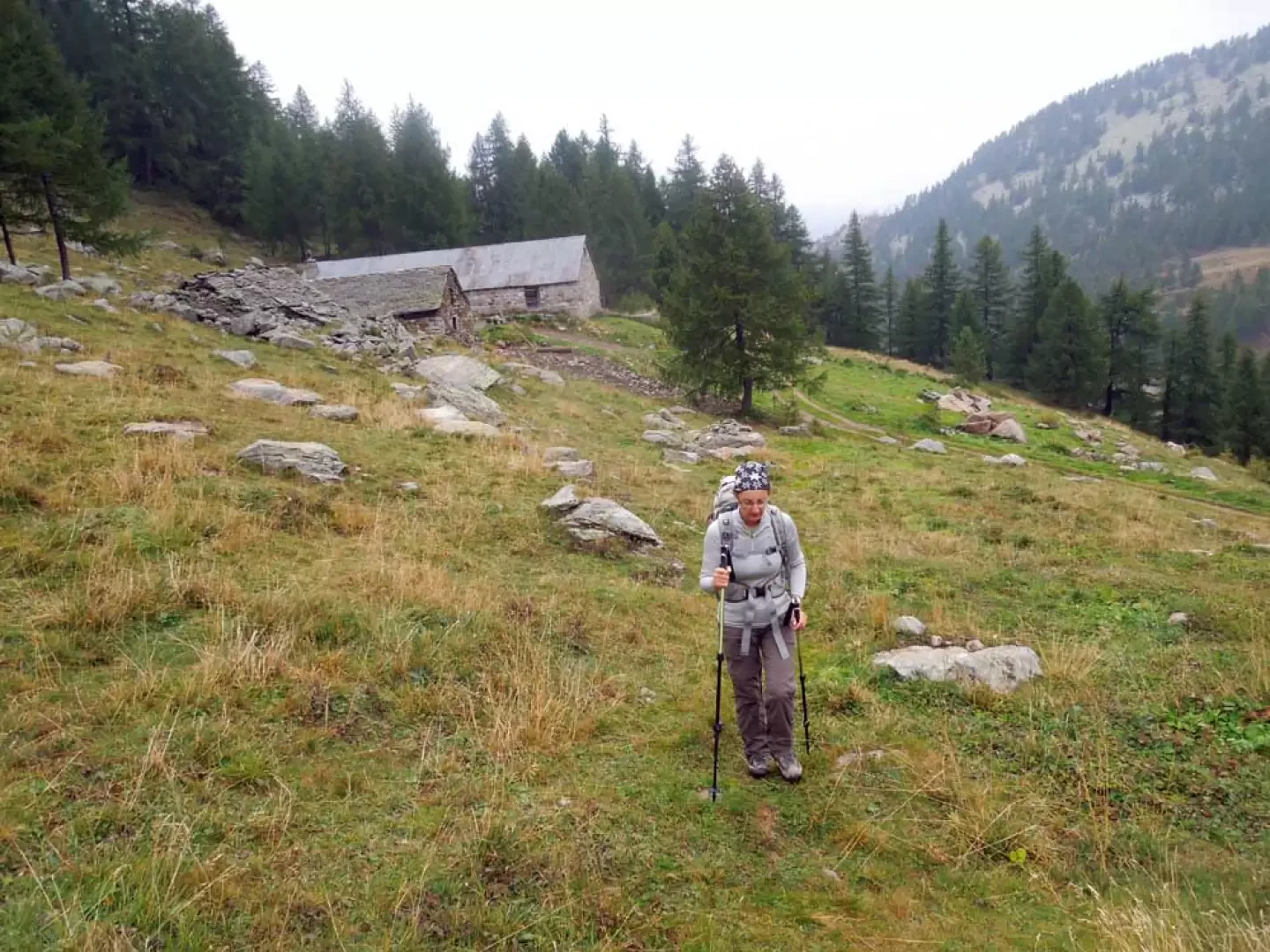
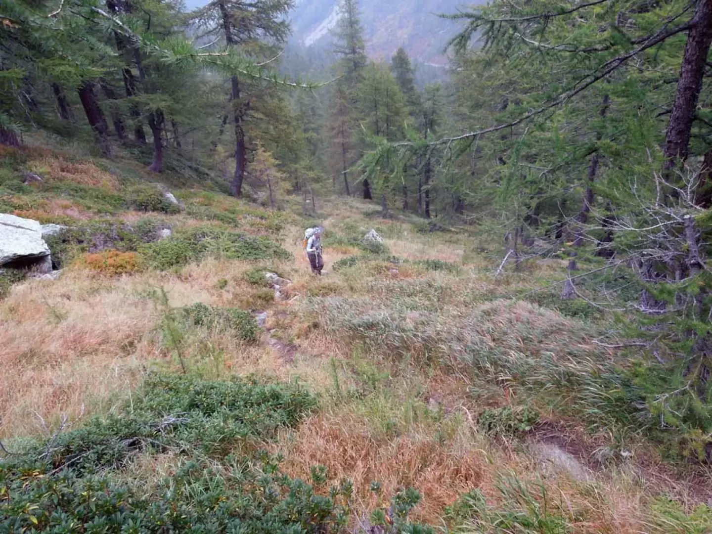
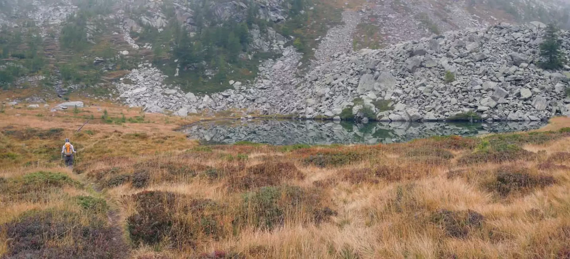
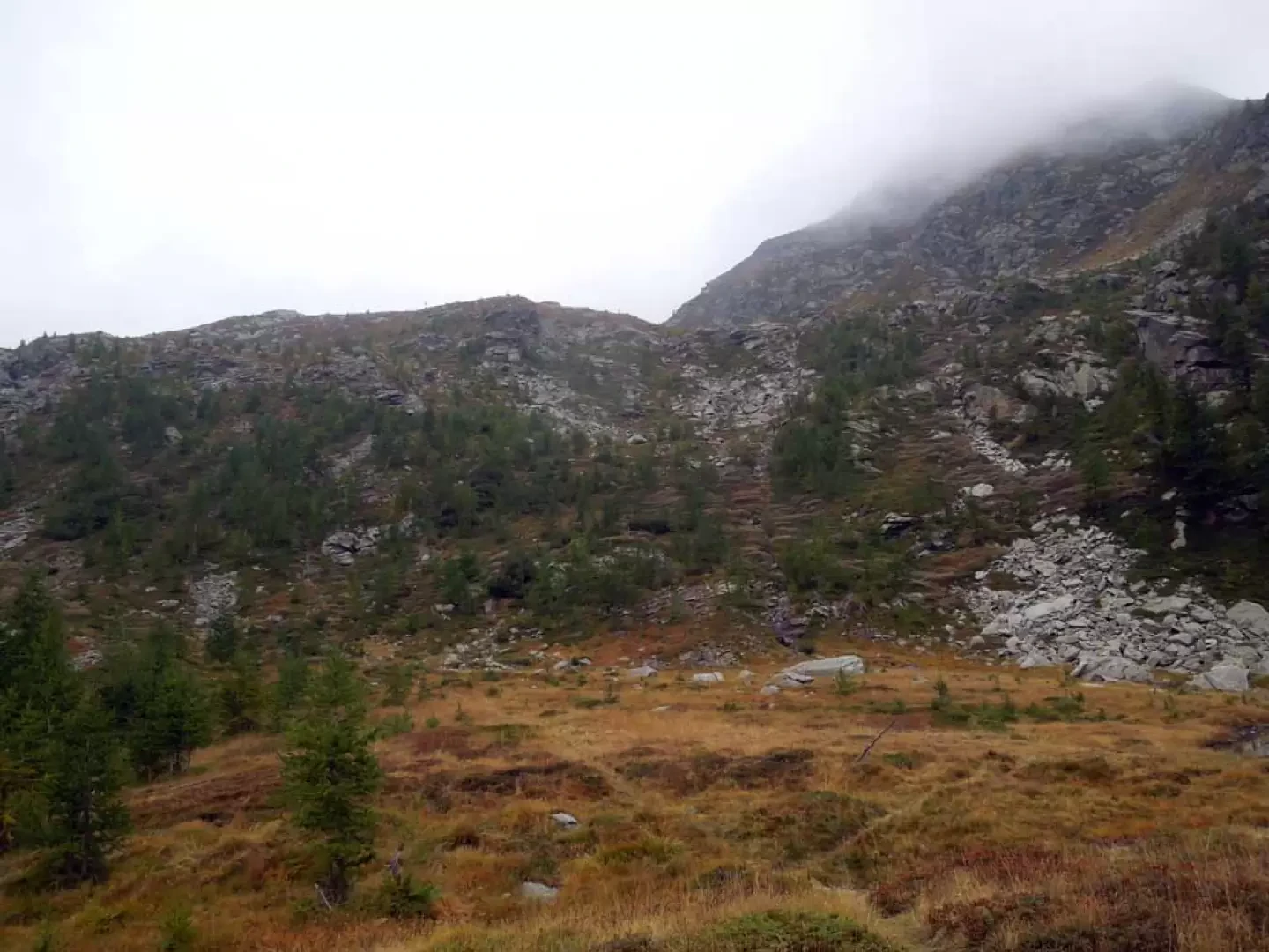
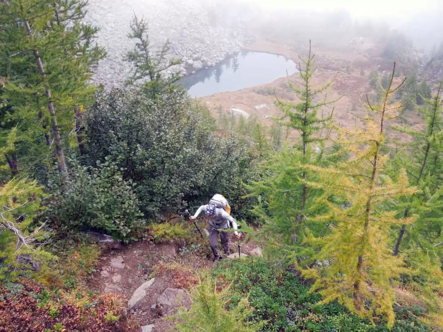
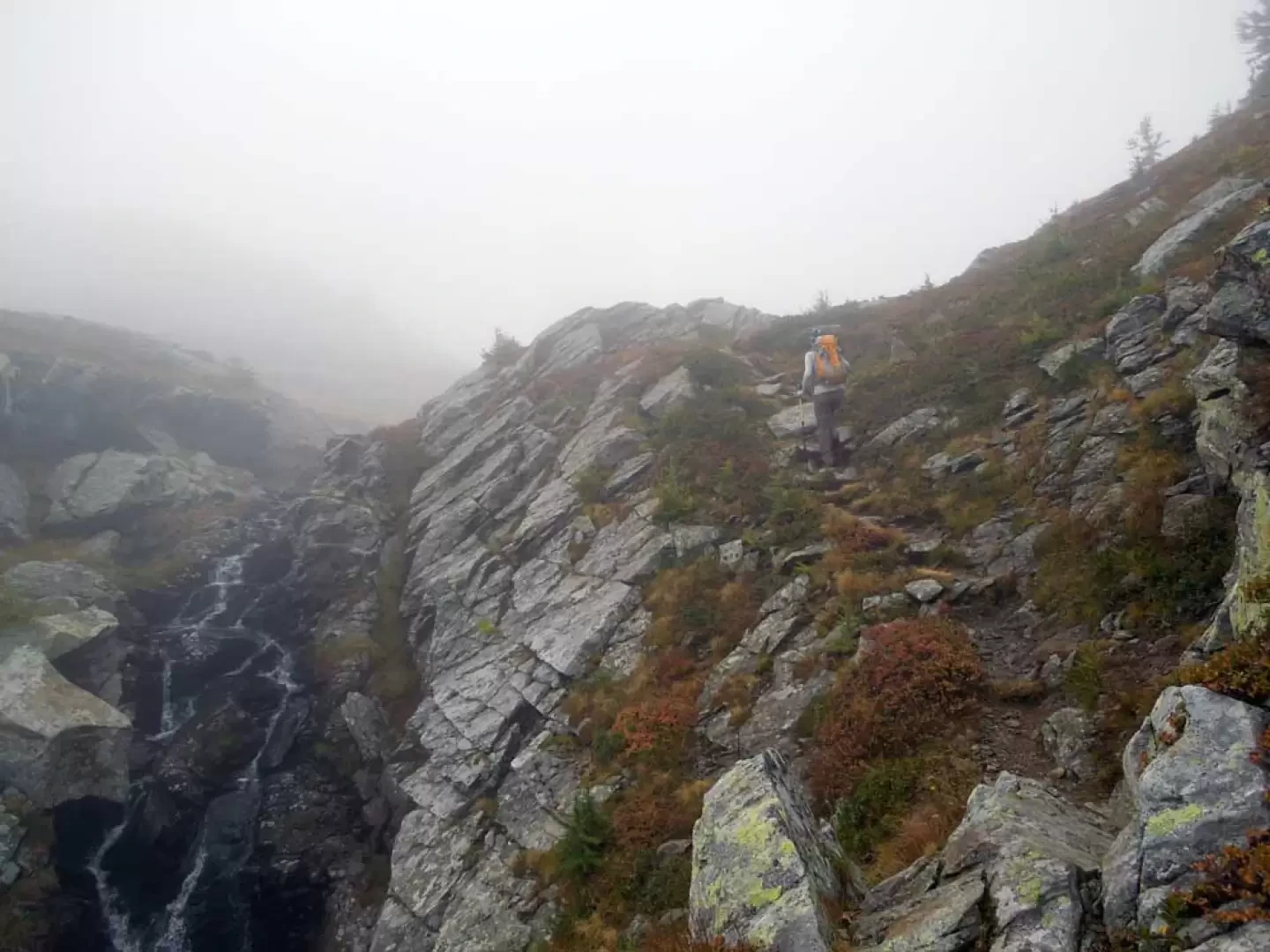
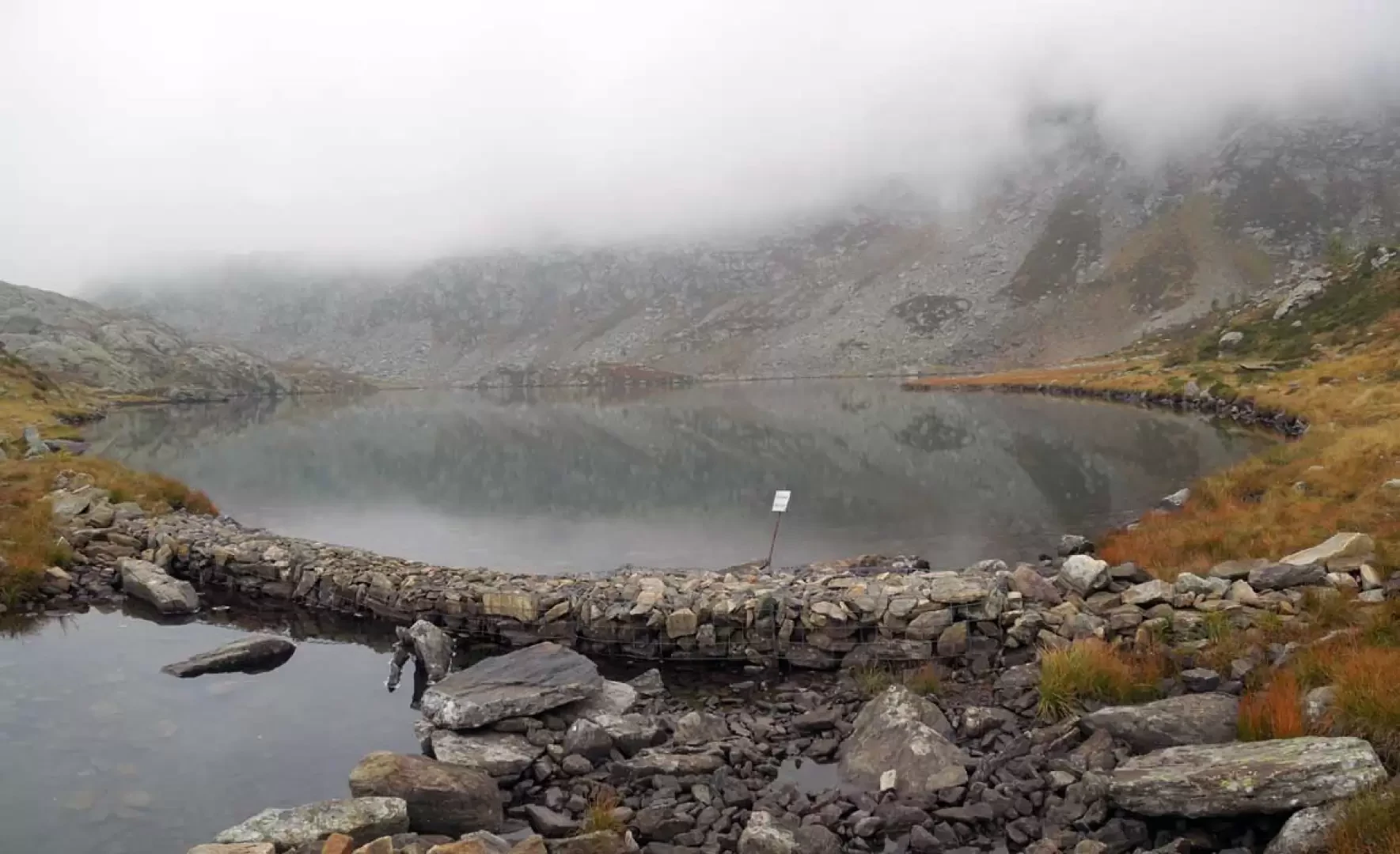
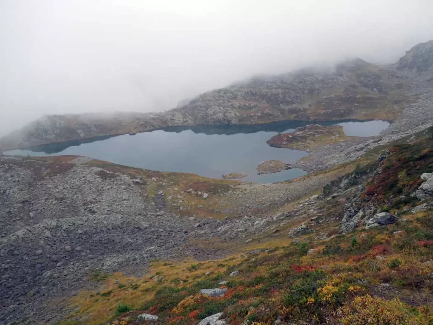
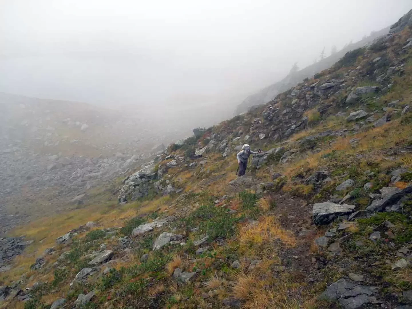
The pass lies between the peaks of the Tschawinerhorn and the Irgilihorn on the ridge dividing the Zwischberger valley with the lateral and smaller Waira valley, and the approach route first crosses a beautiful evergreen forest and then, having left the consortium road, enters the wild and splendidly unspoilt Wairatal bordering the upper Bognanco valley; You also pass the two picturesque lakes of the smaller Wairasee and the Tschawinersee enclosed by the foothills of the Tschawinerpass and Cima Verosso on the Swiss-Italian border. On a clear day, the panorama remains somewhat closed to the south by the border peaks, while it is very wide on the other slopes, especially to the west with the imposing Fletschhorn, Lagginhorn and Weissmies massifs. From the markers, cross the bridge over the Grosses Wasser stream, after which the trail enters the sparse coniferous forest, immediately ascending with a good gradient to reach the Härd hut (1410 m); without reaching it, leave it to the left, arriving just above the consortium road, which is crossed by taking the trail that starts directly opposite. Entering the forest again and with the gradient still a little steep, you come to the road again, which you follow for a few metres to the right, immediately finding the path that begins at a marker on the asphalt road; you then make a wide, slightly ascending semicircle, with which you contour around a wide rib of the mountain, cutting the hairpin bends of the road three more times during this route. After passing under a large high-tension pylon, you reach it again for the last time (1694 m) and follow it for a few hundred metres, arriving in sight of the Pussetta alpine pasture. When you come to a bend to the left, take a path that starts in front of an open space (1711 m) and continues through the grass, approaching an area of bushes and low vegetation; after a few dozen metres, you come to a post at which you continue to the right on a slight incline to pass in front of a first ruin (1757 m) and then a second (1792 m) after which you turn slightly to the right. Now go up a somewhat steeper slope, at the end of which you will find the Waira huts (1859 m), from which, leaving the buildings to the right, continue along the path to the left, getting a little lost in the grass and skirting the edge of the wood; after a short while, turning right, the track enters the wood again and begins to go up through low bushes, with the slope increasing noticeably until reaching the small plateau where the Wairasee (2053 m) is situated at the foot of a large landslide. Passing to the left, one crosses the small estuary on the way to a high, predominantly grassy bastion where, here too, the slope gradually increases during the ascent, which towards the end becomes tiring, also due to the path being somewhat ruined by water erosion. When you reach the edge of a stream gorge, a short traverse takes you to a small bank, after which the small dam of the Tschawinersee (2,183 m) is located. Follow the marked trail to the right and head up a steep slope, at the base of which the trail is somewhat lost, but, with the help of numerous paint markings, it can be found again as soon as you begin to ascend. The track first climbs steep grassy turf alternating with stones and then crosses to the right to reach a small stone cairn (2287 m); go past it and begin to climb a steep scree slope helped by paint markers and, keeping to the left, return to grassy turf that soon leads to the pass.Galleria fotografica
© 2021 - Giancarlo Beretta
© 2012 - Giancarlo Beretta
© 2012 - Giancarlo Beretta
© 2012 - Giancarlo Beretta
© 2012 - Giancarlo Beretta
© 2012 - Giancarlo Beretta
© 2012 - Giancarlo Beretta
© 2012 - Giancarlo Beretta
© 2012 - Giancarlo Beretta
© 2012 - Giancarlo Beretta
© 2012 - Giancarlo Beretta
© 2012 - Giancarlo Beretta
© 2012 - Giancarlo Beretta
© 2012 - Giancarlo Beretta
© 2012 - Giancarlo Beretta
© 2012 - Giancarlo Beretta
© 2012 - Giancarlo Beretta