Cima Nodice

Edited by:
Ivano Ruffoni
Updated at: 08/03/2025
Access
Get to Riva del Garda (by taking the Tangenziale Sud/SS11 and going up the SS45 bis/Gardesana Occidentale from the Brescia Ovest exit on the A4 or exiting at Rovereto Sud - Lago di Garda Nord on the A22/E45 and then following the signs for Mori, Torbole and Riva del Garda) and follow the signs for the SS240 Val di Ledro. Coming out of the long tunnel, turn left onto the SP234 towards Pregasina and, after another tunnel about a kilometre long, pass by the "Regina Mundi" statue and climb up to the village, parking right under the church of San Giorgio di Pregasina.
.Description
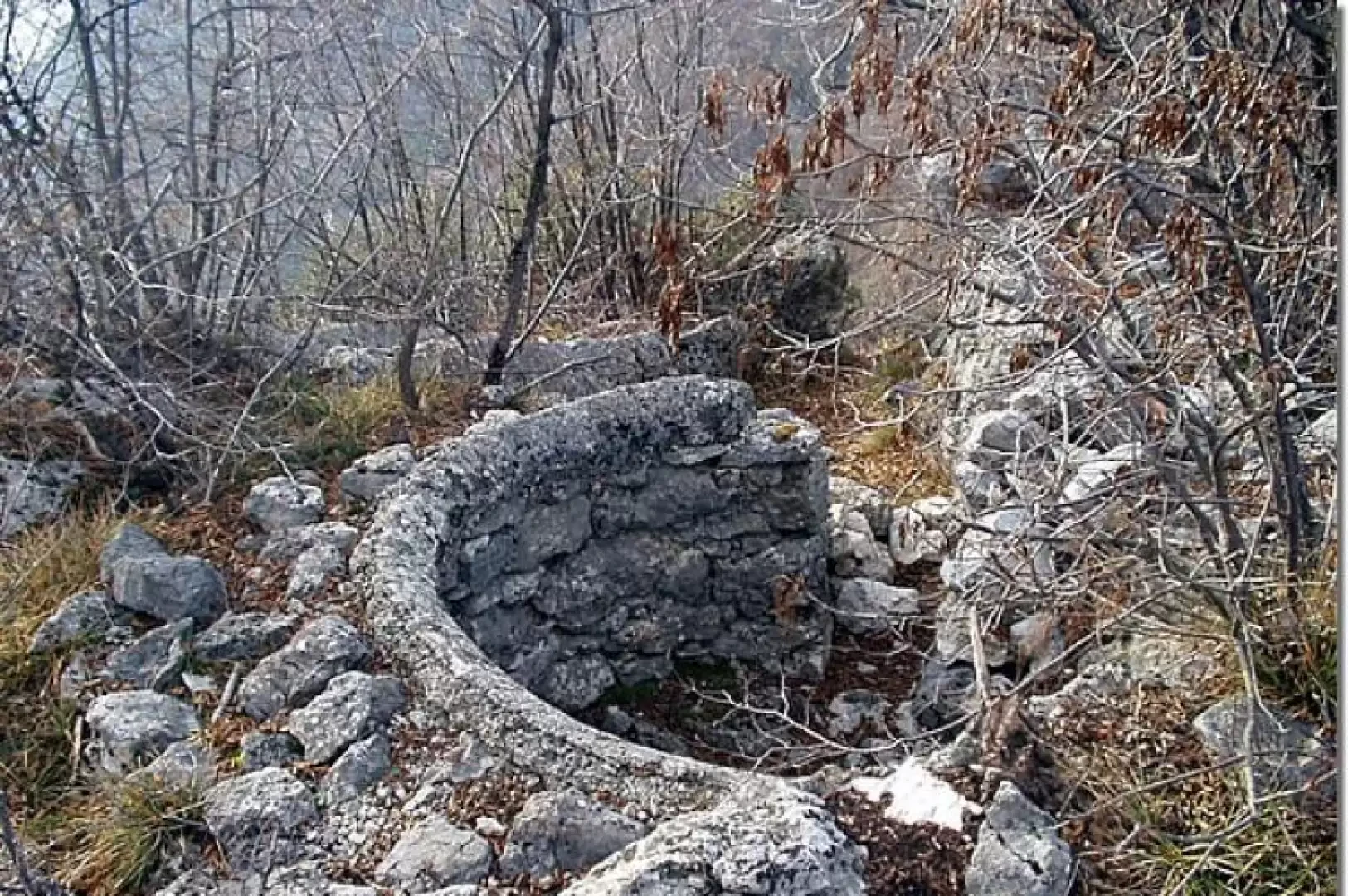
From the car park (532m) below the church, take the little road with steps (signposted [422]), shortly up to the porphyry road and, leaving the wash-house on the right, turn left until you reach the church of San Giorgio (note the beautiful metal door). Continue along the dirt track southwards (signpost [422] for Bocca da Lé - Cima Nodice - Biacesa and signpost [422B] for Bocca Larici - Malga Palaer - Passo Rocchetta). After walking for about five minutes, turn right to climb up the steep cemented road through the forest. At about an altitude of 660m, follow the signpost [429] to the right and again turn right (at about an altitude of 770m) following the signs for the "Scala Santa". Passing under a rocky ravine, formed by a limestone pinnacle known as the Popò di Lè, you come to a first military cave, followed by the steps carved into the rock (fixed rope) of the "Scala Santa". Now close to the summit (all around you can explore the war trenches that encircle the peak) to the left, the "Senter del Toni" leads to the summit of Cima Nodice (859m, 1h00'). You can descend again, keeping to the right, to the "Tomba dei Caduti" and the nearby Passo di Lè (or Bocca di Lè) (805m). Then follow signpost [429] to the left for Pregasina, rejoining the road taken uphill, as far as the car park below the church of San Giorgio (532m, 0h40').