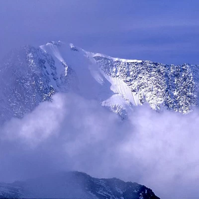
Cima Verosso

Access
By car from Domodossola, go up into the Bognanco Valley and continue along a winding asphalted road to the small church of San Bernardo; park in a large square shortly after the church on the left.
Introduction
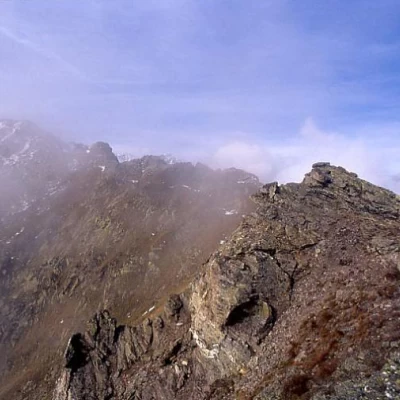
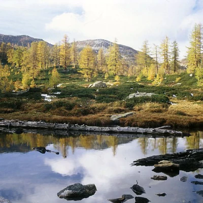
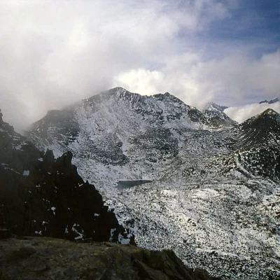
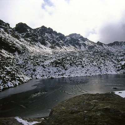
A classic excursion in the Val Bognanco. The ascent takes place rapidly on the beautiful eastern panoramic ridge, the descent on the restful western and northern bumps. The panorama from the summit over the Simplon triptych (Weissmies above all) and Monte Leone is beautiful. The lakes on the Swiss side are all beautiful and if you have time, easily accessible. The descent through the lakes and forests of Gattascosa is equally pleasant. The excursion to Verosso is also a classic of ski mountaineering, to be done preferably by the route described here for the descent; the last stretch of the east ridge is in fact on steep grassy and scree slopes cut, however, by a path that poses no problems in fine weather. Summit book at the summit and two large memorial stones with commemorative plaques.
.Description
On the southern edge of the car park, by tracks, take the ridge directly past an aqueduct outlet. The path becomes more evident and among blueberries, rhododendrons and fir trees climbs the Verosso ridge. Above, the panorama widens and the forest gives way to meadows and maceretos. In the final part, the crest finally narrows to an airy ridge; the path, however, is always evident and poses no problems. In the last section, we lean against the north-eastern slope for detritus and reach the summit. Descend on the south-western side along the ridge to the pass between the Verosso and d'Azoglio peaks and from here, over large blocks, descend to the lower Vaira lake, which is skirted on the northern side. Then take the path halfway up the slope to the Bocchetta di Gattascosa from which you descend directly to the refuge of the same name. Now take the level path to the right that passes by the beautiful Lake Ragozza and over morainic rises with fir trees to return to San Bernardo.
.