Cima Vegaia


Edited by:
ori
Updated at: 08/06/2025
Access
In Trentino, Val di Sole, Val di Peio road to Cellentino and continue along a dirt road until the sign prohibiting Cei.
Introduction
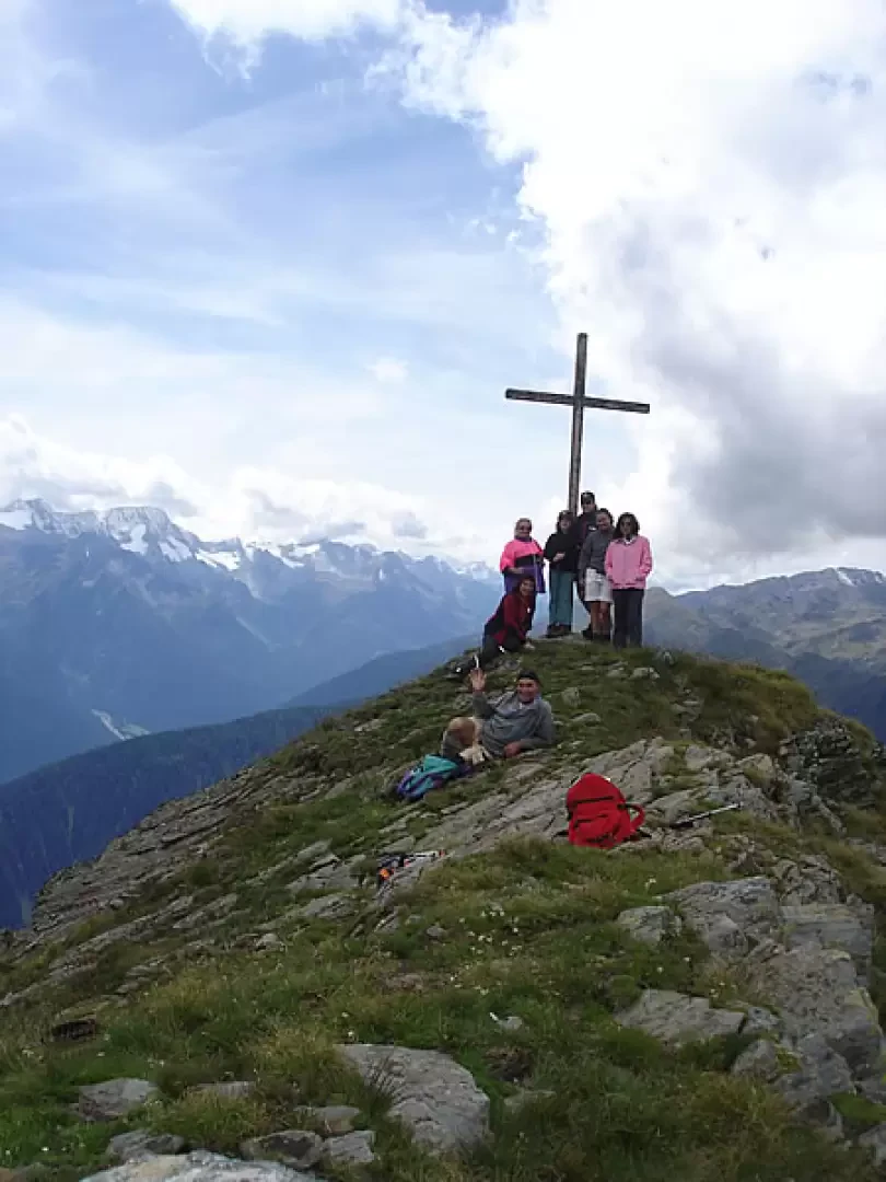
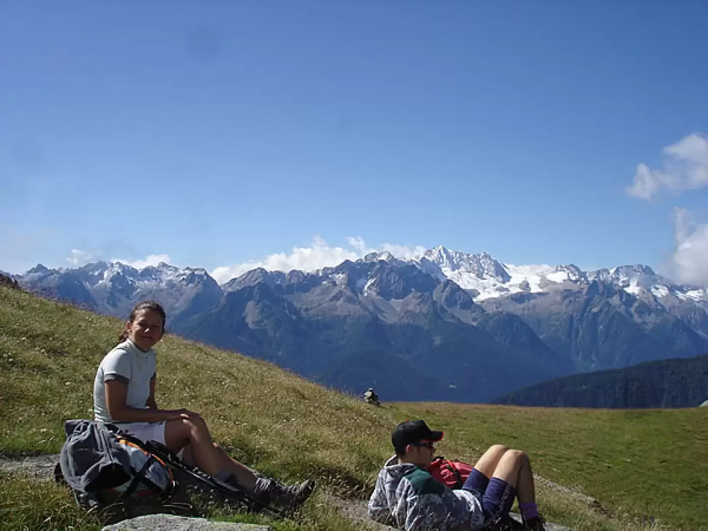
Beautiful hike, very panoramic over the peaks of the entire Ortles Cevedale, Brenta and Adamello Presanella group. From the summit you can see the entire Rabbi and Peio valleys. This hike takes you to the malga, the Cadinel hut, the small lake, the pass and the peak, and then back down to the Campo di Cellentino malga.
Description
By car to the prohibition, continue along path number [132] which cuts through the hairpin bends to the Campo di Cellentino hut, reached the hut at an altitude of 1979m. Continue along path number [132] which leads to the Bait del Cadinel, Cadinel pass and lake, having reached the baito del Cadinel small stop. From the baito you can see 2 crosses one on the right which is the anticima and on the left higher up the cross of the Cima Vegaia, and you have to climb towards the small valley between the peak on the right and the one on the left where you can see a small pass. Continue for about 10 minutes and keep to the right and go up the little gully between the two crosses (be careful, small path but not difficult) once you reach the pass you can admire the whole area of the Pozze (Orise) the Brenta, afterwards continue to the left to reach the highest peak where you can see the cross, the path is not there for now, but you can see a track that goes up first keeps in the coast of the Cadinel valley and also in the other coast almost always on the ridge. When you reach the summit, descend by the same route to the pass and then go to the other cross, always keeping to the ridge. From here, descend into the other valley, always keeping to the ridge in the pastures until you reach a plateau called Lake Cellentino, from here there are two paths, one leading to Malga Campo and the other to cross the dirt road leading to the malga and then descend to the car. The route up to the Baito del Cadinel is well marked and afterwards is a little difficult, we recommend that you ask for information. Photo gallery
Photo gallery
Comments (0)
Sign in to leave a comment