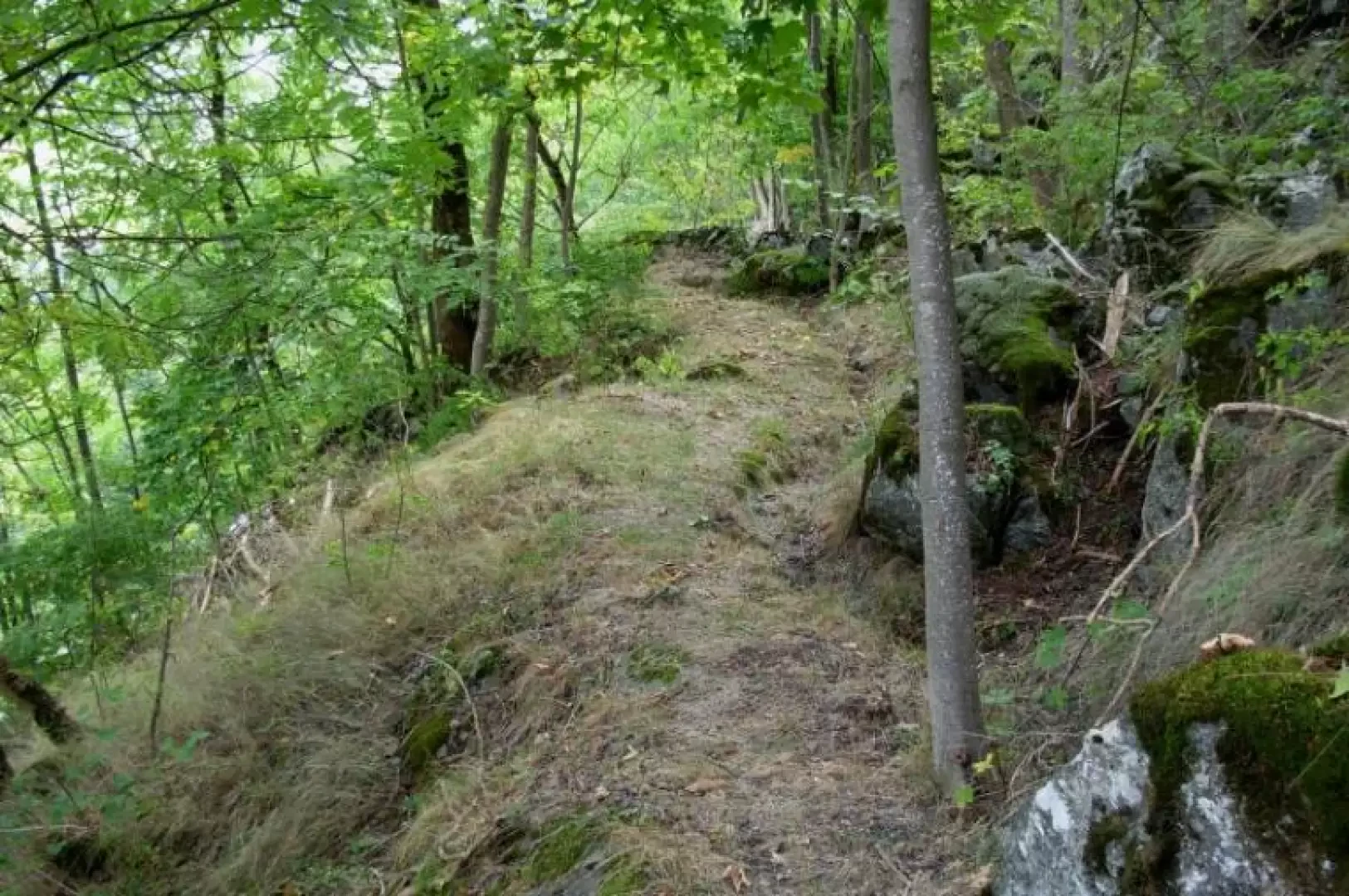
Ru de Filey, from Grand Mouli

Access
From the motorway exit at Châtillon, turn left along Via E. Chanoux. Go past the roundabout, third exit, and continue through the town centre for about 600m and then turn right into Via Menabrea, which you should follow until you reach the roundabout with the "Cervino" on the inside. Take the second exit and take the road, following it for 7.1km to Antey-Saint-André where, on the right, you will find the Tourist Office chalet in Piazza Attilio Rolando where 🅿️ free parking spaces are available.
[0h12'] - [8.7km]
How to get there with GMaps
How to get there with Apple Maps
How to get there with Moovit
The information provided here has been verified on the date of the route survey. Before setting off, it is advisable to ensure that no substantial changes have occurred on the route to the starting point. We therefore recommend the use of the satellite navigation apps provided by Google or Apple for up-to-date and detailed directions.
Introduction
A short hike in a little-known area of Antey-Saint-André, following the route of the old Filey irrigation canal.
Description
0h00' Leave your car in the square in front of the tourist information office and cross the regional road, following the signs for the interval path 105. When you arrive in front of the oratory dedicated to Nôtre Dame de Guérison, turn right along the asphalted road that passes by a fountain, the first ruin of the mine, where you can fill your water bottles; a little further on, the Matterhorn appears in all its splendour. We arrive at the gate of Villa La Pioniera which, built in 1909, is one of the first houses built in Antey-Saint-André for summer holidays; at the bridge leading to the market square, we follow the old tarmac road to Torgnon slightly uphill until the hairpin bend where we leave it to take the path that descends steeply to the right. Pass behind Hôtel La Grolla and cross the new regional road to Torgnon at the first bend to plunge back into the shade of the forest. At the petrol station, leave the main path, which continues on the level and ends at the Filey bridge, and take the path to the left that climbs between the dry stone walls, gradually taking in the first ruins of the mine. At the end of the short ascent, one proceeds through the thicket, punctuated in summer by the intense orange blossom of the Martagon Lilies. One passes an enormous boulder overlooking the village of Filey and a little further on one notices in the loose soil the tracks of wild boars ploughing the undergrowth in search of food. After a steep ascent through the meadows, one re-enters the forest where one can observe the first walls and the old bed of the Filey ru, which one will follow for the rest of the itinerary. One crosses a scree slope right in front of the sports area in the middle of which the modern architecture of the artificial climbing wall stands out. After a short ascent, the path continues on level ground, crosses two valleys through which a trickle of water flows and soon reaches a group of pine trees felled by snow. One enters a beautiful scrub of fir trees and a little further on one crosses the path leading from Poutaz to the Fiernaz Petit-Monde mine. After a few minutes, the path narrows and you begin to hear the roar of the Peson Torrent waterfalls. The path further on is not practicable at the moment, but if you want to venture amidst the collapsed logs and brushwood, you will reach the gorge of the torrent in less than 10 minutes.