Royal Arch, from Boulder


Edited by:
Ivano Ruffoni
Updated at: 13/05/2025
Access
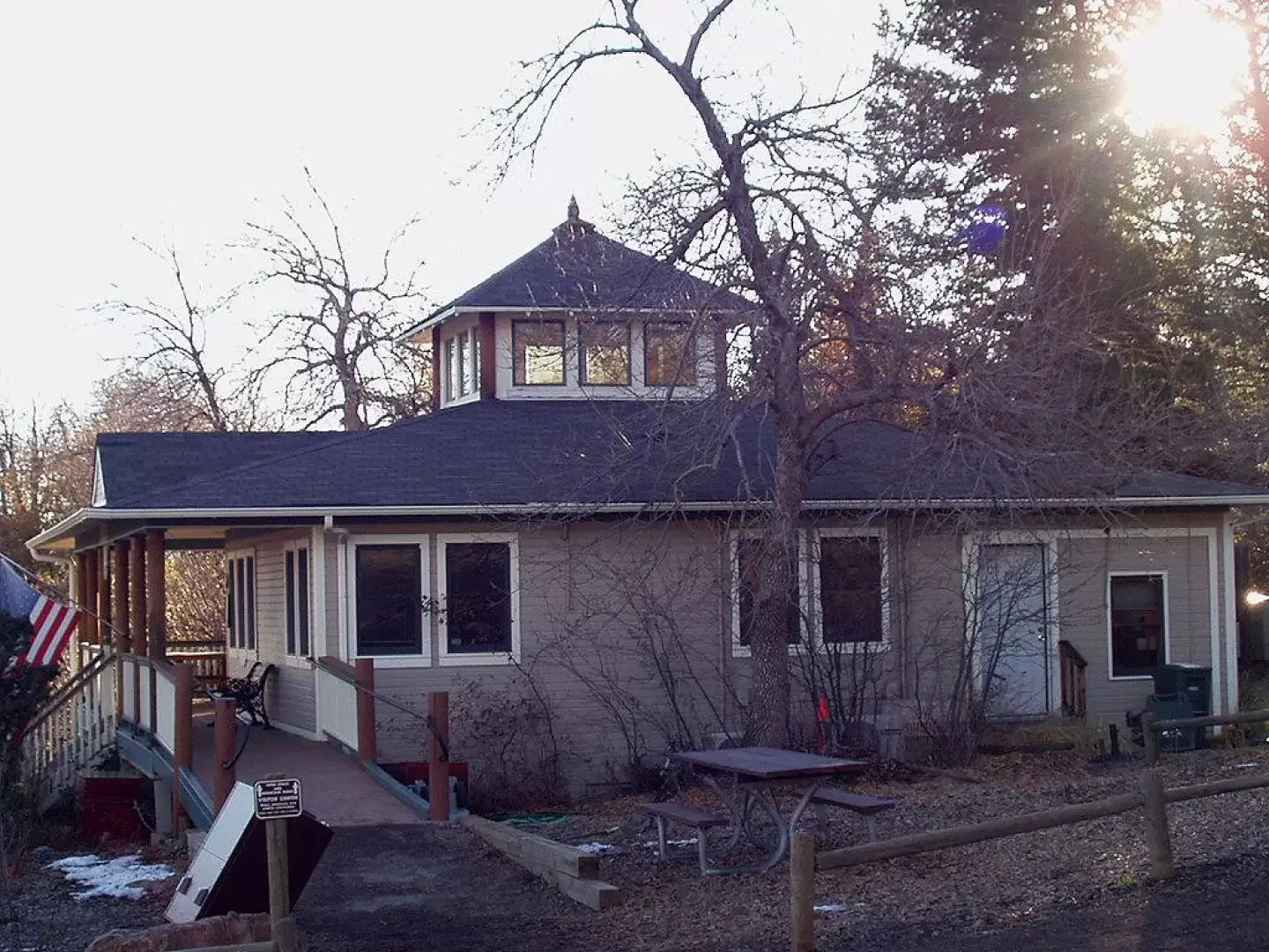
Reach Boulder on US-36 (westbound if coming from Denver) and exit at Baseline. Head west on Baseline to the turnoff for Chautauqua Park. Go left up to the parking area near Ranger's Cottage.
.Introduction
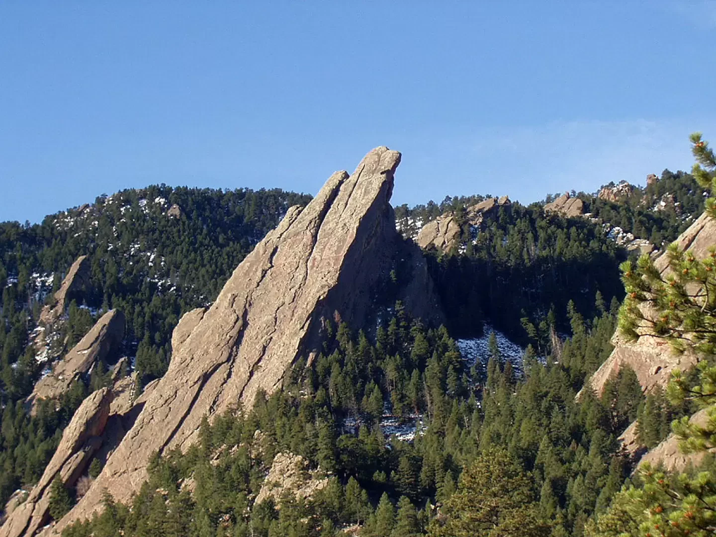
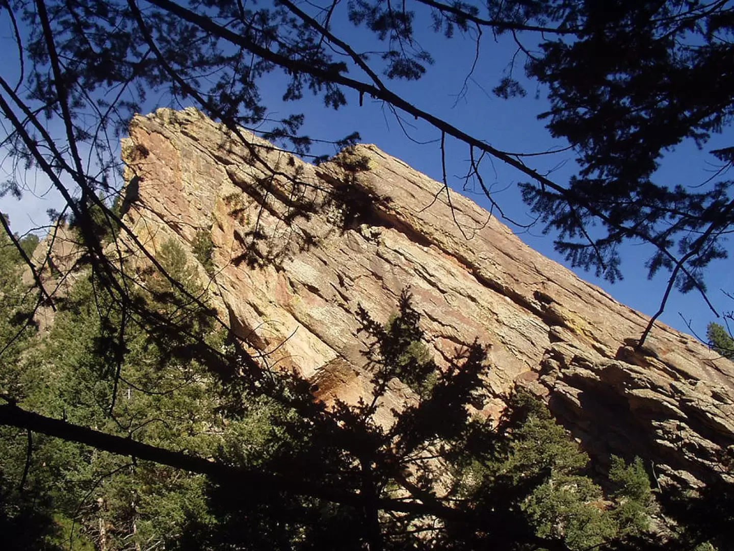
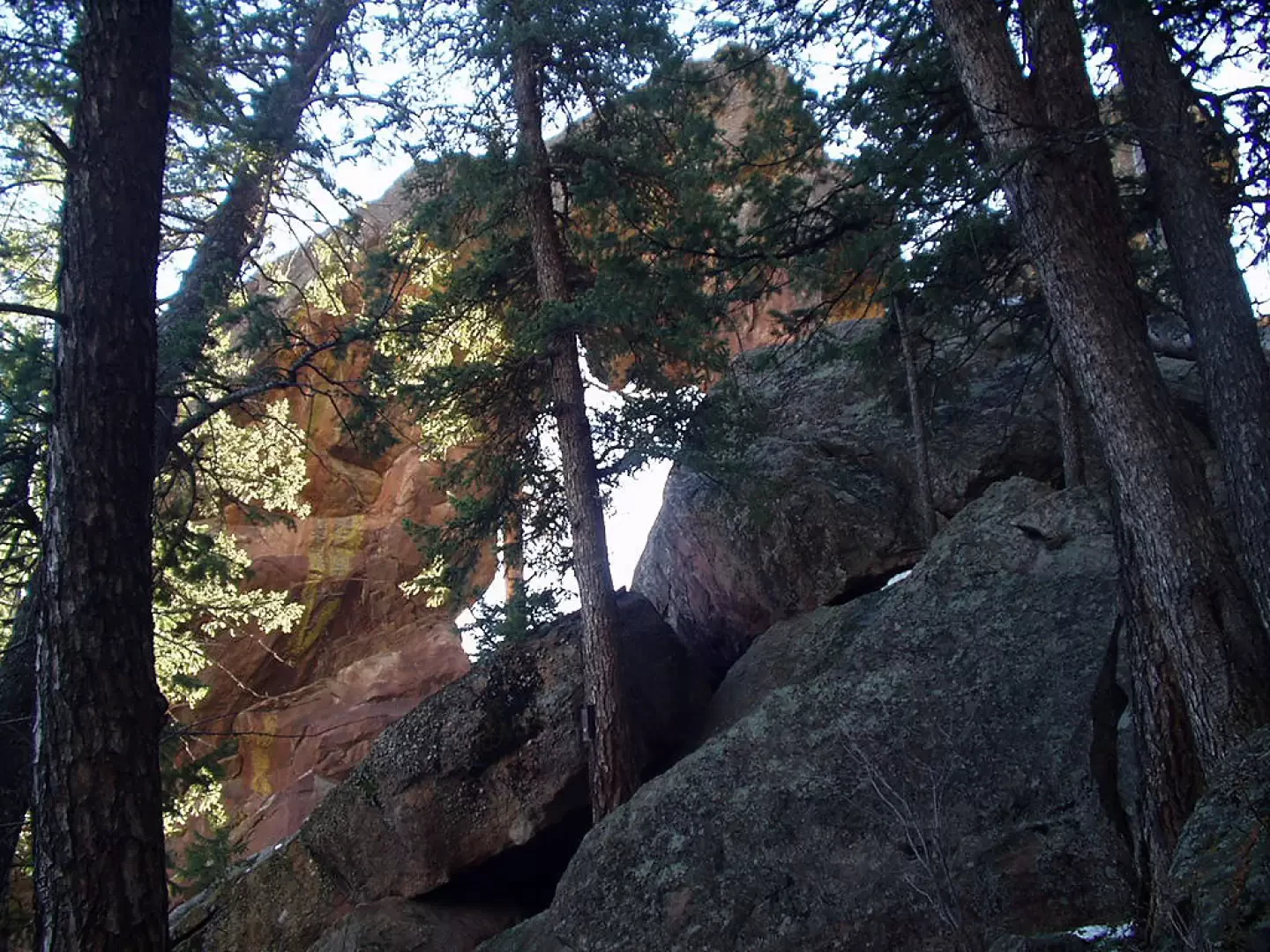
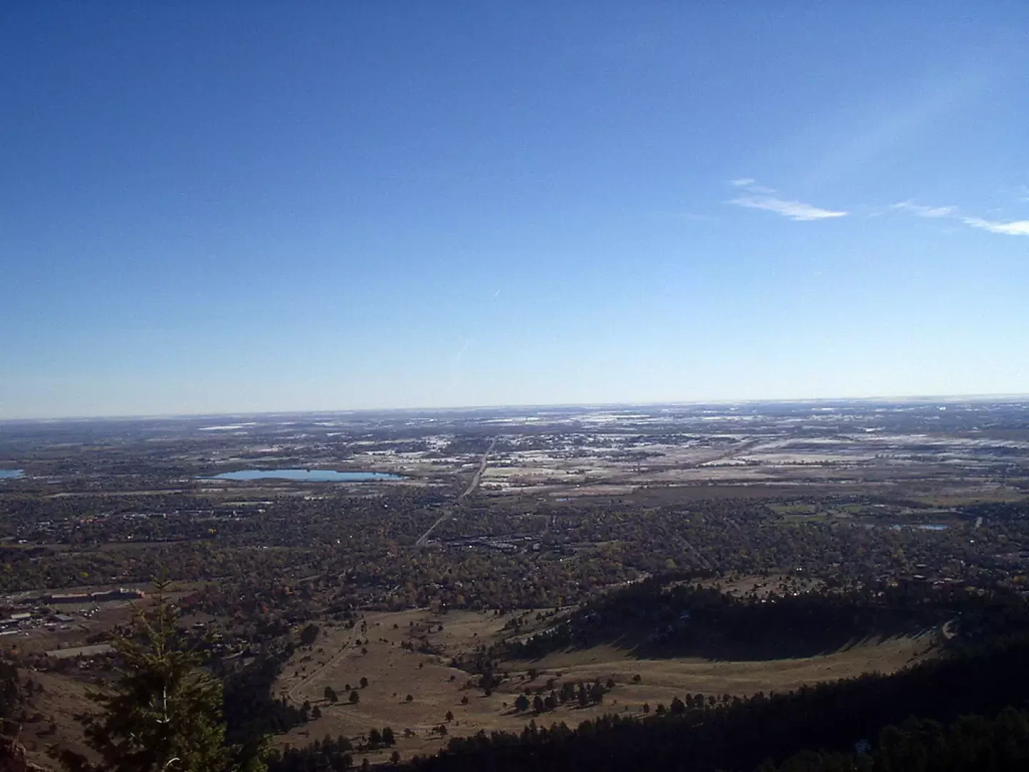
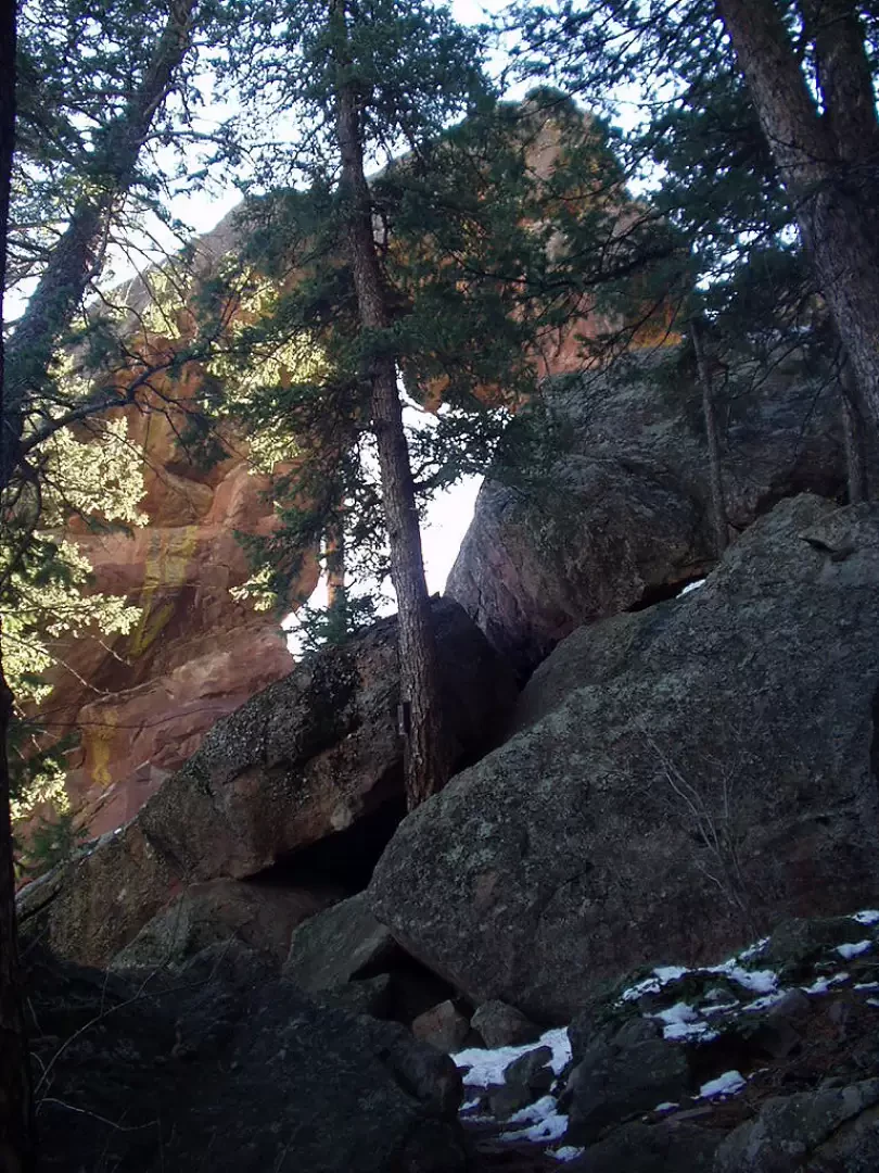
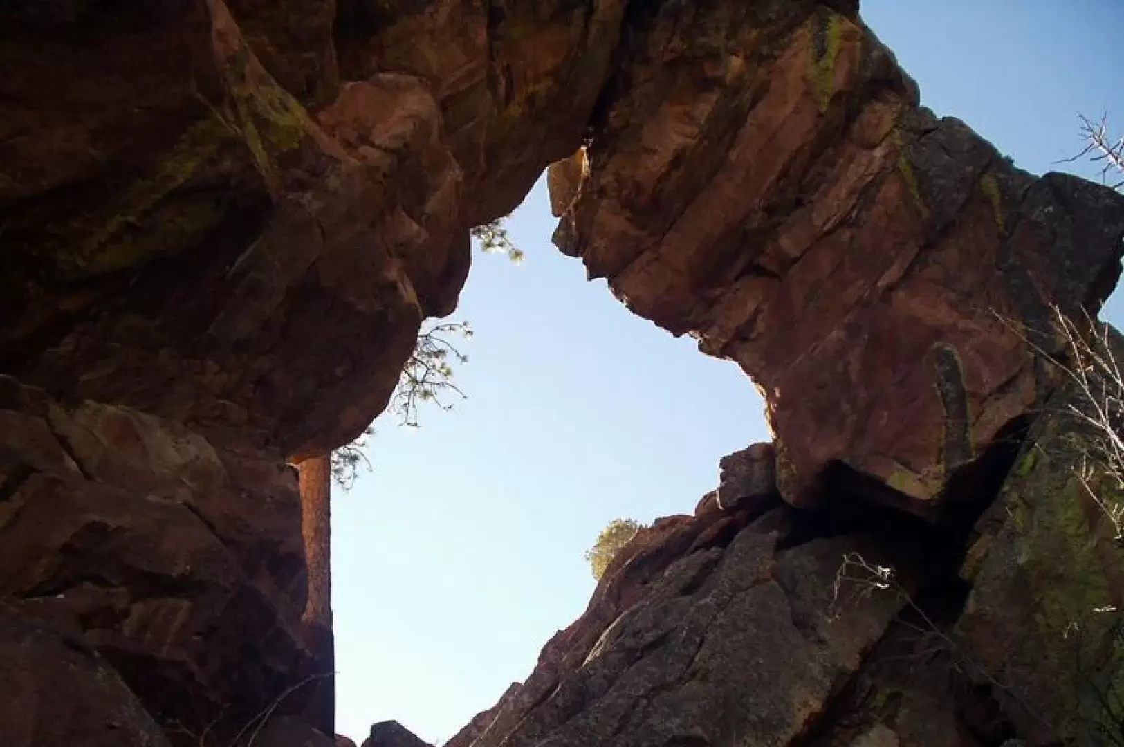
The name Royal Arch comes from the approximately 7-metre (20 ft) sandstone arch at the end of the route, in the famous Flatirons area of Boulder (rock formations that derive their name from their resemblance to old irons). From Royal Arch you have a great view of the Boulder, Golden and Denver area.
Note:To allow nesting birds of prey the area is closed from February to July. Dogs must also be kept on a leash.
Description
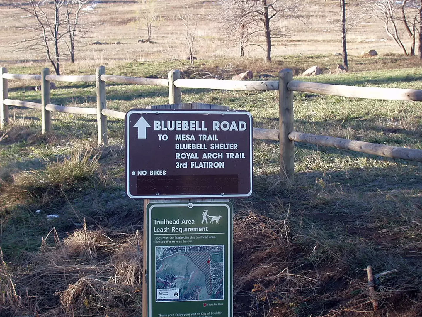
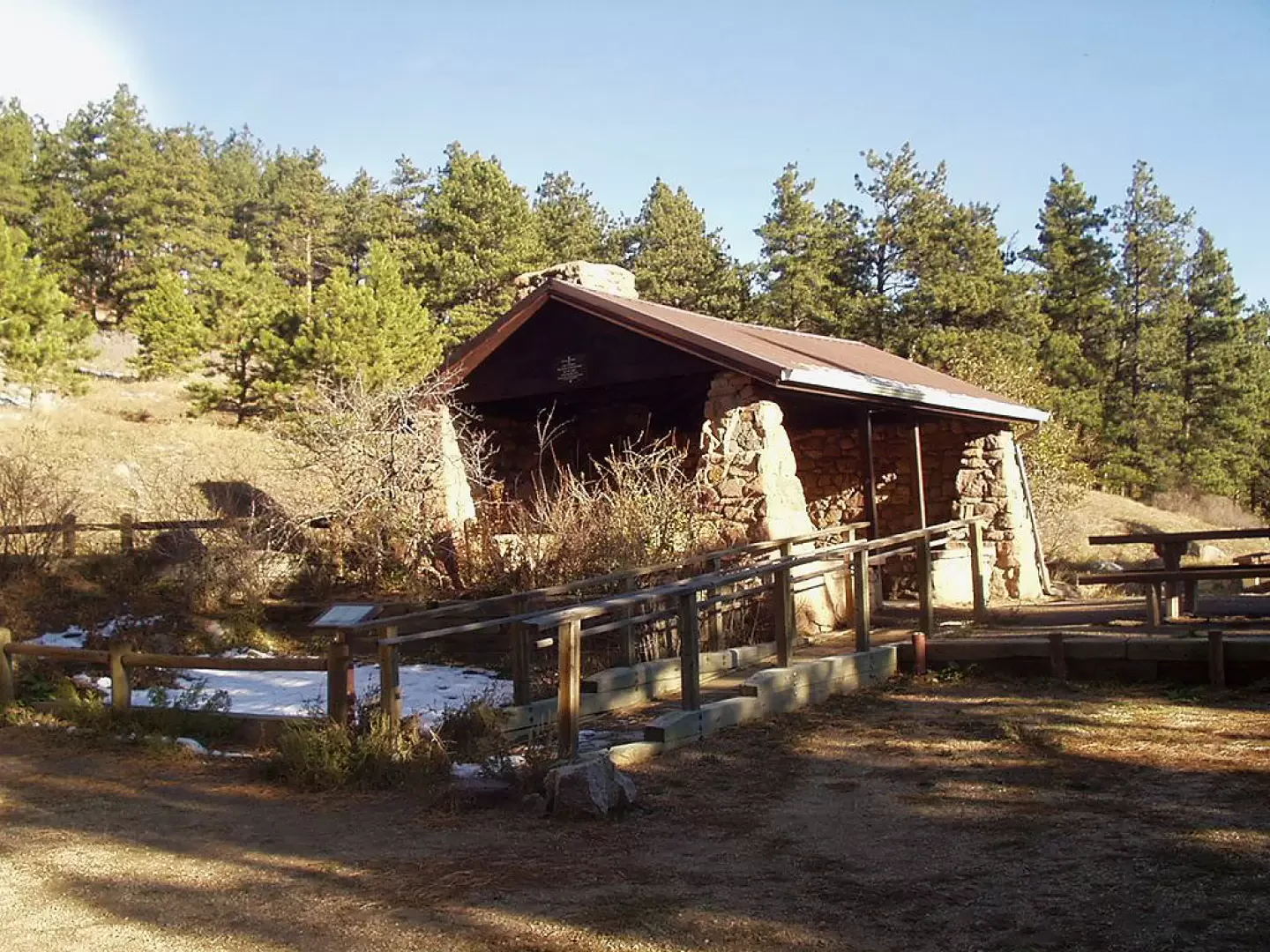
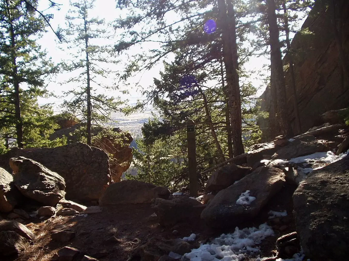
0h00' From the car park (1731m, 5680ft) at Ranger's Cottage move a few steps west to intersect the Blubell Road. Neglect the "Chautauqua Trail" to the right for "Bluebell-Baird Trail, Bluebell Mesa Trail, Flatiron Access" and continue on the "Bluebell Road" for "Mesa Trail, Bluebell Shelter, Royal Arch Trail, 3rd Flatiron". Skirt the town of Chautauqua and ascend to the left-hand junction for "Mesa Trail". Keeping to the right, continue to a hairpin bend (there is a toilet nearby) and you will quickly reach the "Bluebell Shelter", a small stone building with a fireplace and benches. In about a minute's walk you come to a fork in the path and, ignoring the turnoff to the right for "Bluebell-Baird Trail, 1st & 2nd Flatiron Access", turn left into the forest for "Royal Arch Trail, 2nd and 3rd Flatiron Access". In the forest of Ponderosa Pines (Pinus ponderosa) you first cross a picnic area, then a couple of wooden footbridges and cross the turnoff to the right for "2nd & 3rd Flatiron Access". We climb back up the stepped paved mule track to the left, cross a landslide and ascend the orographic right-hand side of a narrow valley. The mule track, which is unevenly stepped in places, passes next to a rocky outcrop and, at times allowing a glimpse of a nearby 'Flatiron', climbs in hairpin bends to the modest summit of the 'Sentinel Pass'. A little uneven and among large boulders, the mule track loses about thirty metres in altitude, and climbs, alongside some steep rock faces, to the arch formation known as the "Royal Arch" (2117m, 6946ft) 1h15' .
The descent is along the same route 1h15' .
Tips
We recommend that, when approaching the town of Chautauqua, you leave the "Bluebell Road" and descend to the right, and, along the "Kinnikinic Road", walk through the houses of the town to the car park at Ranger's Cottage (1731m, 5680ft; 0h45').
.
Photo gallery
Comments (0)
Sign in to leave a comment