Baitone Rock, from Ponte del Guat


Edited by:
Franco Pelosato
Updated at: 14/03/2025
Access
The natural starting point for the Miller Valley is the Ponte del Guat locality which is located at the bottom of the Val Malga valley in the municipality of Sonico.
You can reach Ponte del Guat:
- From the hamlet of Rino di Sonico; follow the road for Garda until you reach the locality; four roads; then turn left; the road is a little narrow but all asphalted: after about 8 km you reach Ponte del Guat where you will find a place to park.
- If you are coming from the lower Valcamonica, (state road 42 del Tonale) it is best to reach Malonno, then turn right at the crossroads before the hump, for Zazza, continue on to Garda, until the; four roads, where you proceed straight on to Val Malga.
You can park your car at Ponte del Guat; the problem of parking space only arises in the middle of August, for the rest of the year it is easy to find as there is space for several dozen vehicles.
Introduction
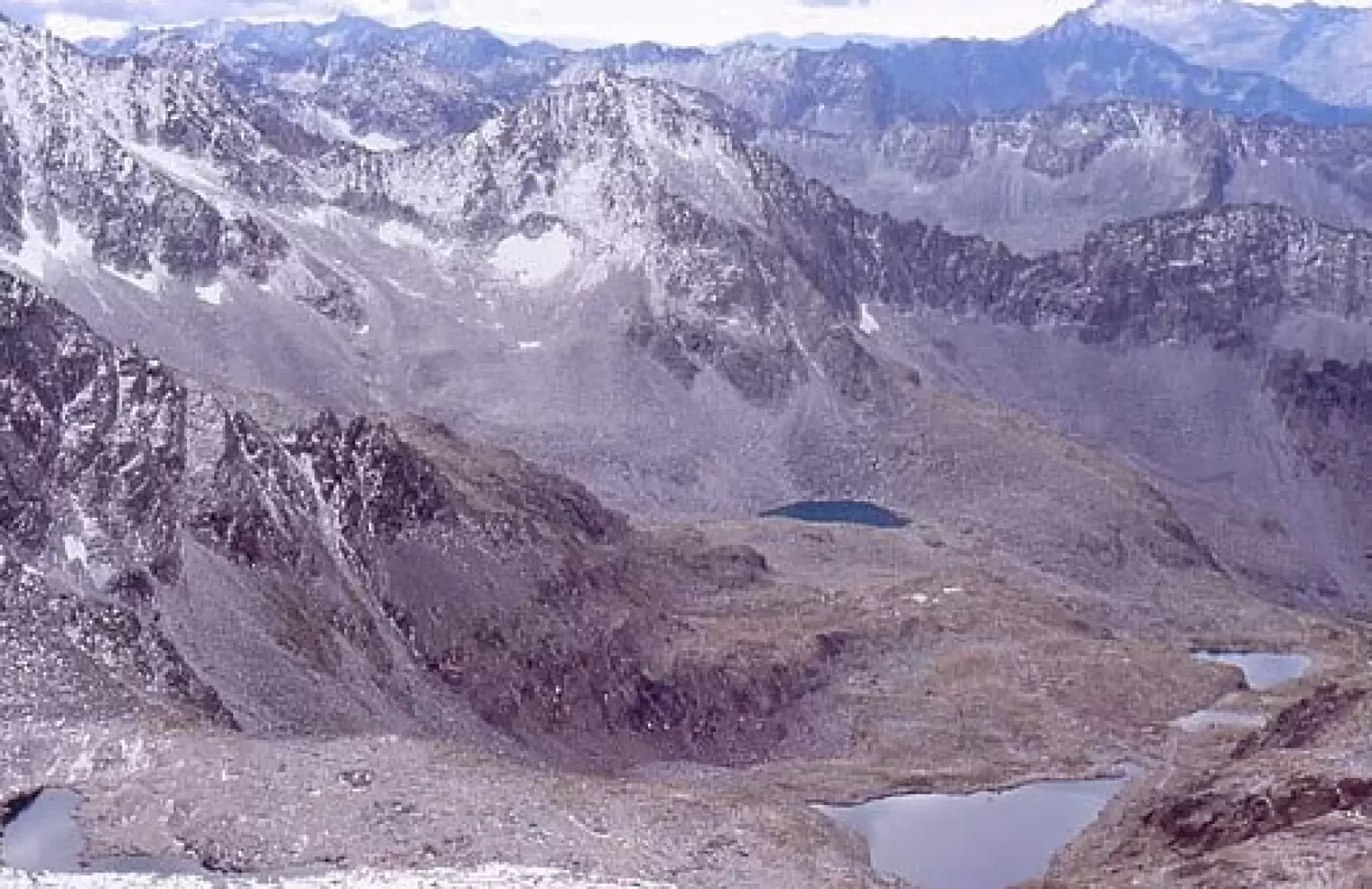
A very long excursion that covers the entire Baitone basin, as far as the watershed with the Aviolo valley. Given the high elevation excursion, it is possible to observe the complex variation of vegetation according to altitude and exposure: from mixed broadleaf and coniferous woods, to herbaceous ecosystems of pastureland and low shrubs, to alpine cliffs and screes. There are numerous alpine lakes nestling in the various basins: Lake Baitone, Lake Rotondo, Lake Bianco, Lake Verde, Lake Lungo and Lake Gelati.
.Description
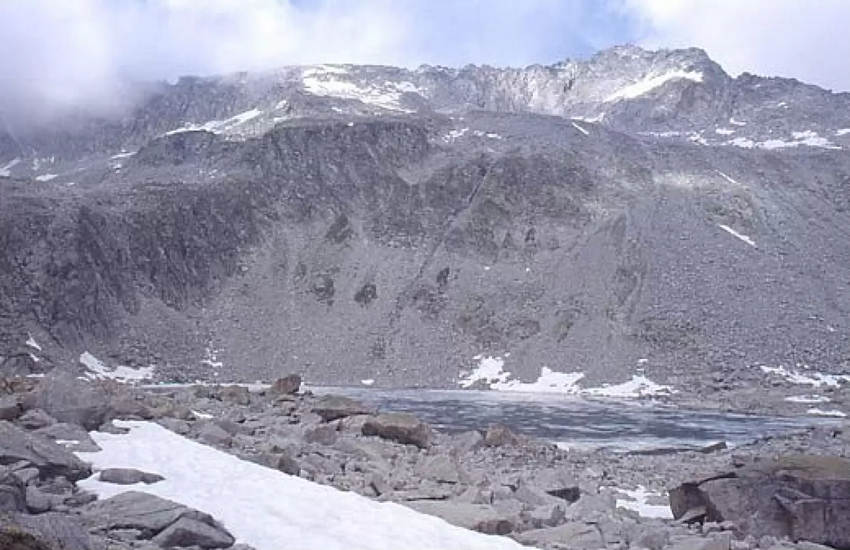
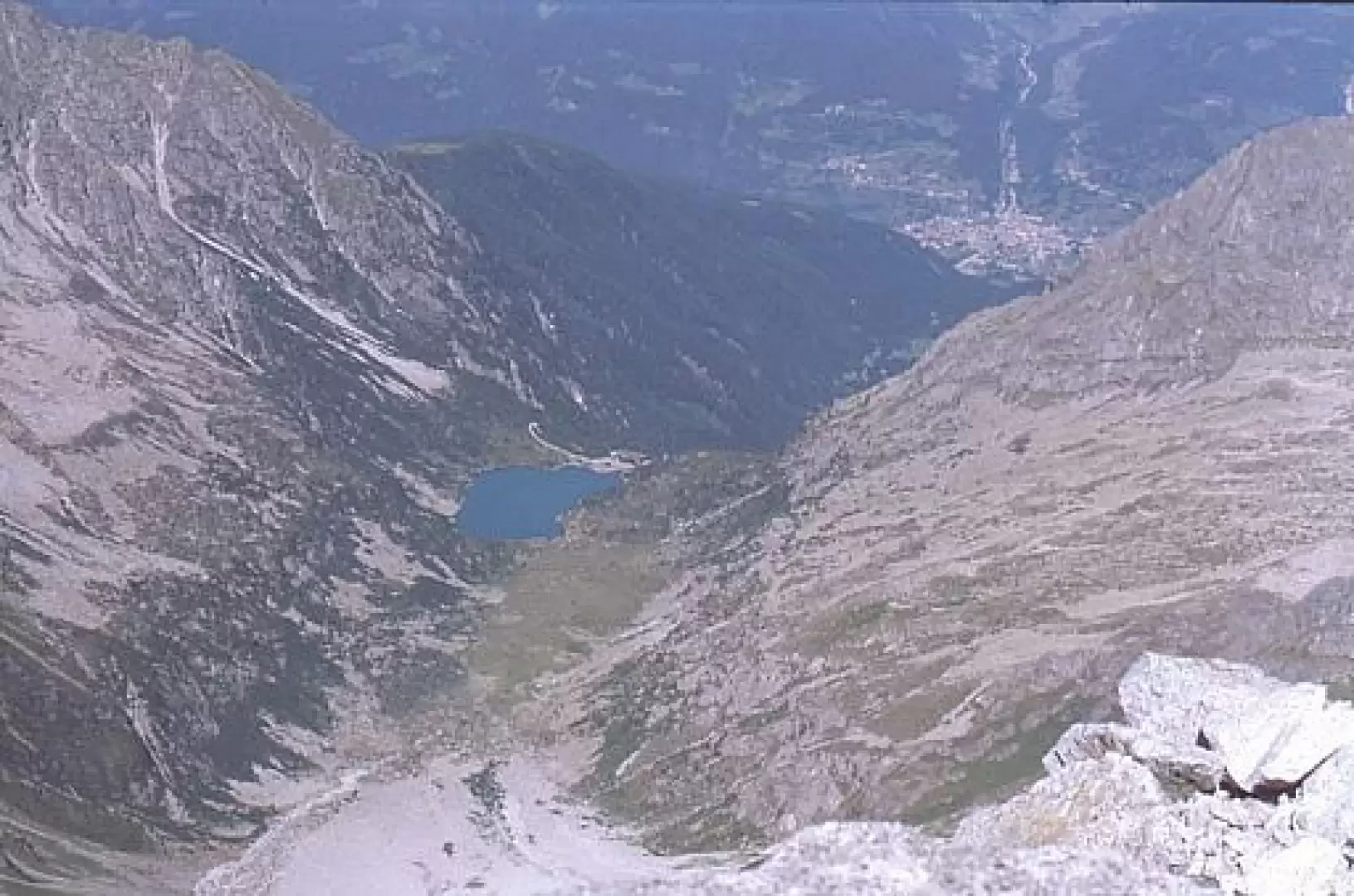
From the Guat bridge, for the first stretch (a quarter of an hour's walk) there is a dirt road, which can also be travelled by car if you want to take advantage of the pay car park at malga Premassone (1585m) where, in the summer months, a new Bar-Ristoro is open selling excellent local malga products. We then cross the Remulo stream and begin the ascent on the orographic right bank; after a short while, at an equipped picnic area, there is a fork in the road: we continue left along the mule track to Baitone (the road is followed to go towards the Miller). The path (mule track), signposted [13], zigzags its way up with numerous hairpin bends; it then moves to our right, crosses a small valley characterised by the presence of a cone of snow dumped if you pass through in winter or spring, and in about an hour from the start, you reach Baitoncello (1943m); (just before there is an equipped picnic area, in a clearing with the remains of a 'baitoncello') where there is the building of the first section of the former Enel cableway that connected Ponte del Guat with the Baitone dam. Continuing on, after a few hairpin bends, you cross a new little valley, also characterised by the fact that it easily discharges avalanches of snow until late spring, then, in about twenty minutes from the Baitoncello, you reach a new picnic area at the pastures of the Baitone malga (2065m). Continue along the mule track, go around a few hairpin bends, then cross a small valley (even here, there is a snow cone to cross until May), then the mule track becomes less steep and we head towards the foot of the dam, to climb again on our left, passing by a few huts, and finally reach the level of the crown of the dam (2284m; about two hours from the start). We then take the path which runs alongside the lake on the orographic right bank; after a quarter of an hour, we pass the junction of path (to reach the Forcello di Bombià); we then continue on, cross the lake, climb up on our left, and in about an hour we reach Lake Rotondo and the Tonolini refuge (2450m); here path ends. We now continue alongside Lake Rotondo (orographic right, opposite side of the Tonolini refuge), following path no. 50; we ascend along a small valley with relatively modest inclines, and after about a quarter of an hour's walk we come out onto a plateau (former bed of the torrent emissary of Lake Lungo) from where we can see the little dam, (disused since the seventies) which contained the waters of Lake Lungo (2527m). We skirt, on our left, the lake and ascend the slope, where the stream coming from the frozen lakes descends; after crossing it, we ascend to the left, up to the fork for the Passo delle Granate, where we continue to the right and, after ascending a moraine we find ourselves with the eastern frozen lake in front of us, on our right, (about 2800m), and in view, on the left, of the western frozen lake. We continue at this point without following any paths (which are not there) on the rocky edge that, on the orographic right, contains the basin of the eastern frozen lake; after a good steep ascent, following the line of maximum slope, we enter a morainic hollow, moving to our right, until below the next glacial step. We ascend along a steep gully and, at its summit, we move to our right to overcome the last rock cliff: this last section must be tackled with great caution and some knowledge of free climbing. At this point, the slopes become easier, we continue now on mounded rocks, now on large moraine, always moving to our right, leaving immediately to our left the rocky edge that divides the "coster" into two zones and that descends from the summit above, moving from our left to our right. We now continue, on a large moraine, parallel to the rocky edge mentioned above, up to the summit: we are now at 3200 m on the watershed between the Baitone basin and the Aviolo valley, also known more or less properly as the Baitone rock.
Photo gallery
Comments (0)
Sign in to leave a comment