Tonolini Refuge, from Malga Premassone


Edited by:
Maurizio Loconti
Updated at: 16/06/2025
Access
By car from Malonno, turn right (towards Zazza) and then take a narrow tarmac road back up the valley to the Guat bridge (tree cemetery due to blizzard in October 2018). Beyond, a dirt road leads to Malga Premassone (pay car park), where you leave the car (1650 m, but other sources say 1589 m).
Introduction
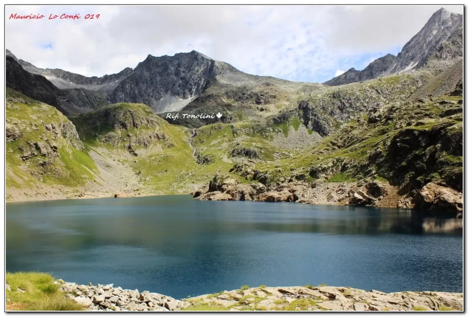
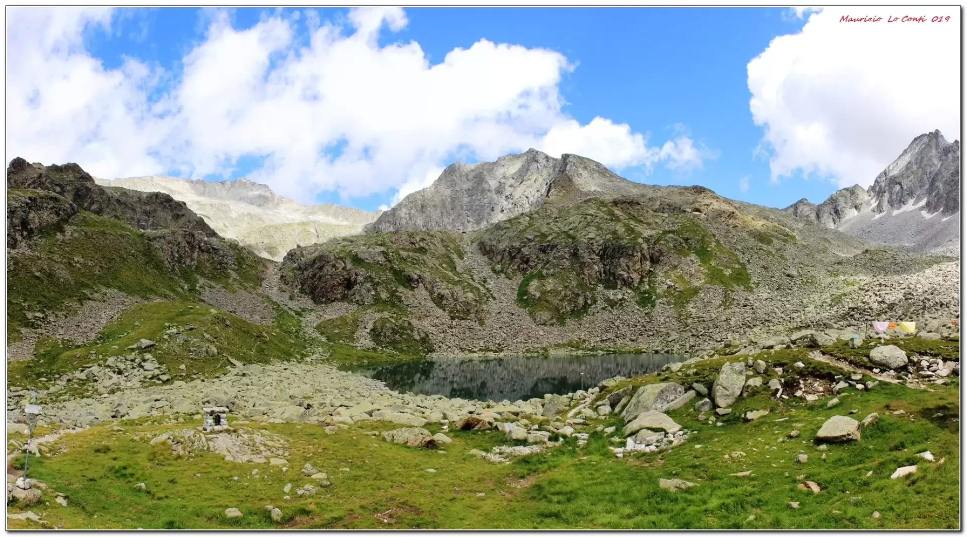
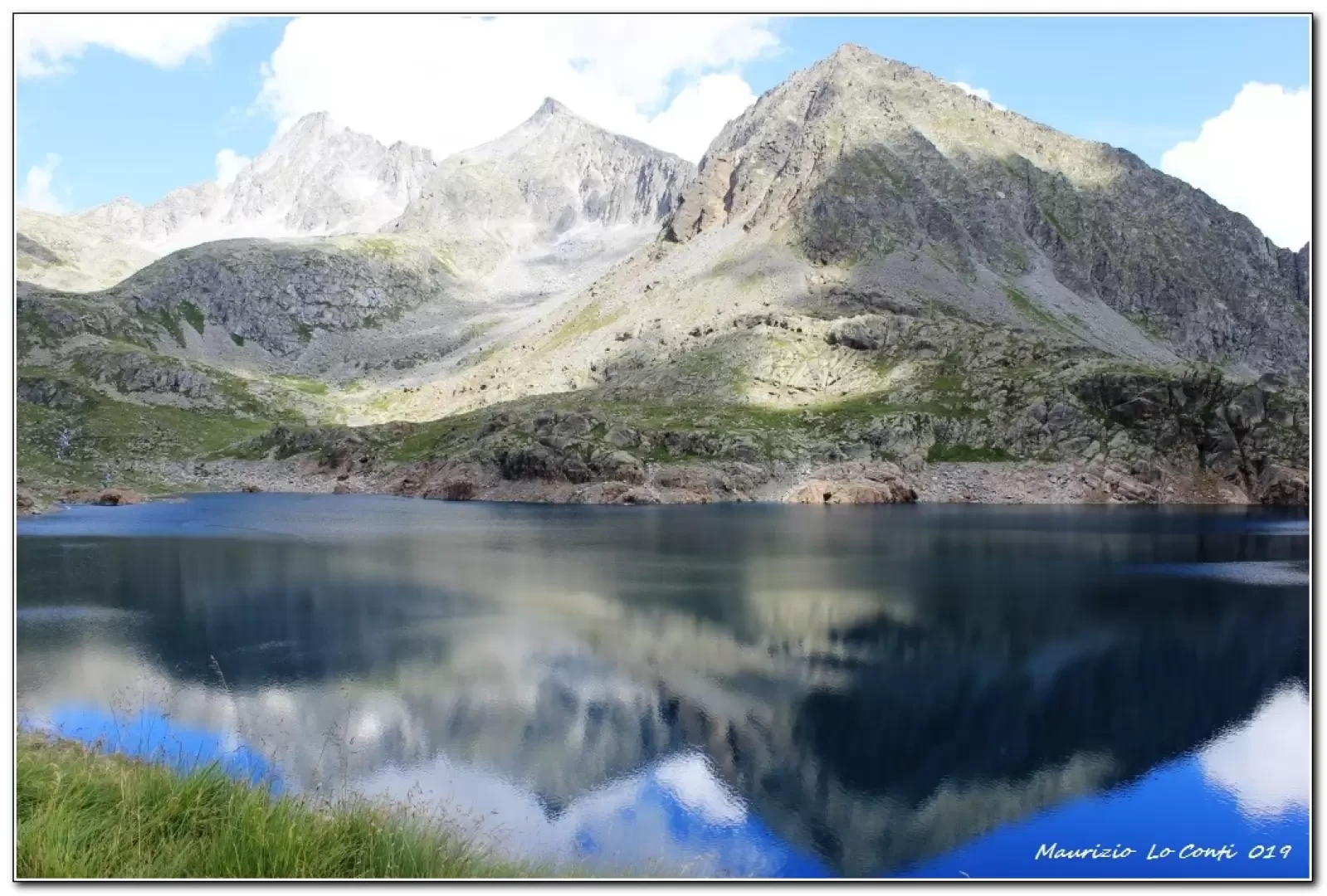
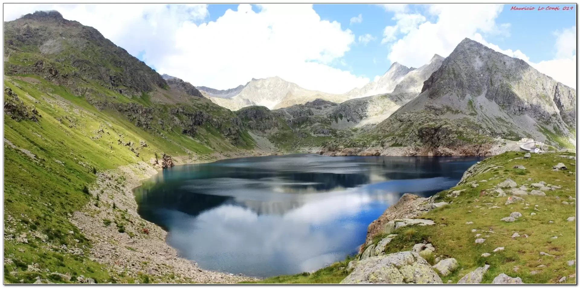
The Baitone and Tonolini refuges, in a basin in the Adamello group
The setting is high mountain, very scenic and full of satisfaction...
.Description
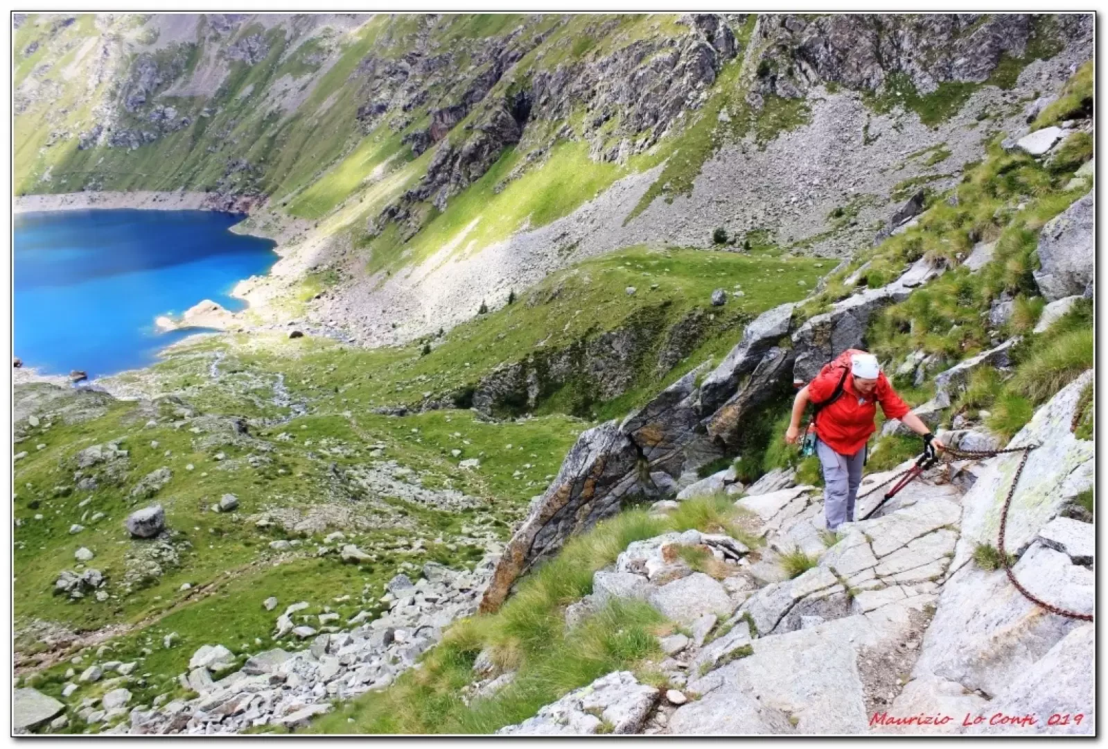
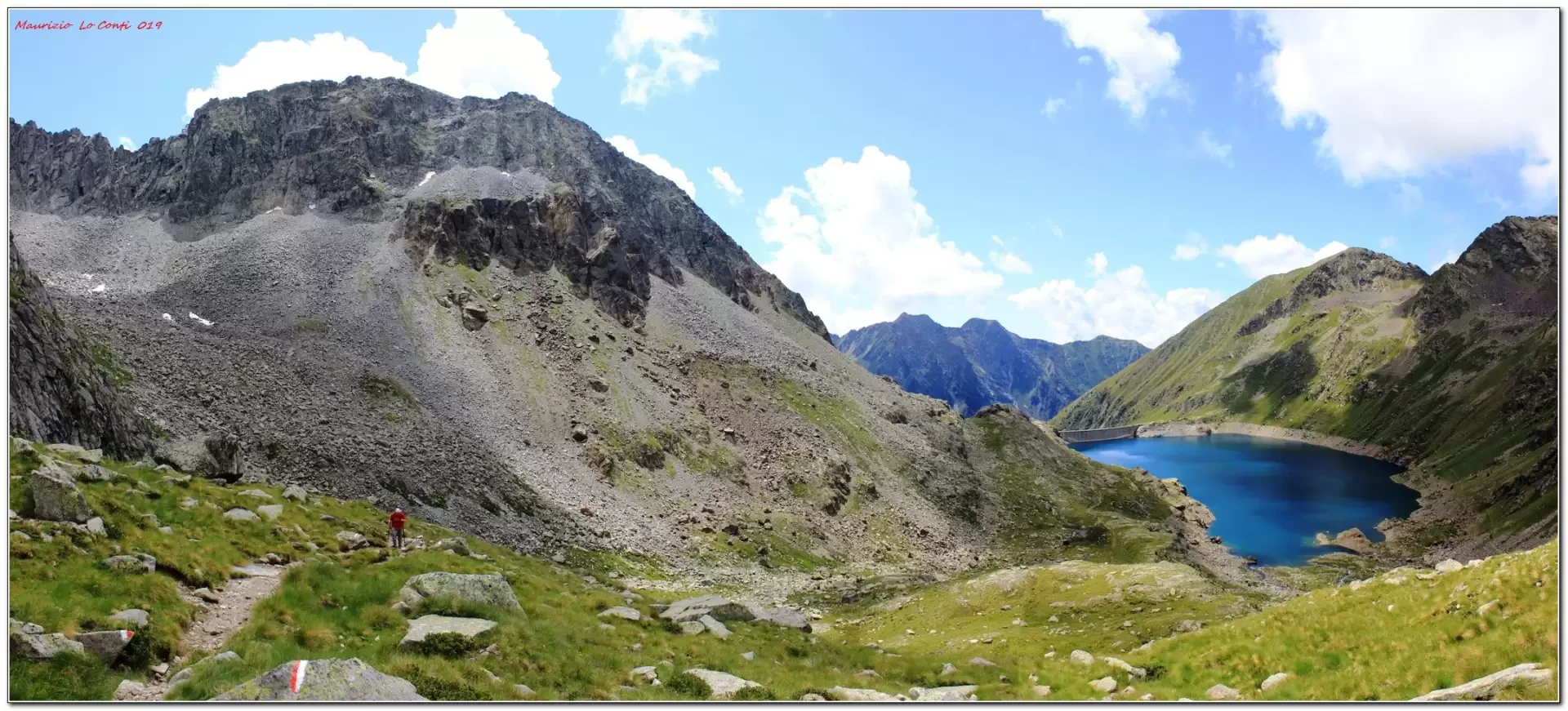
You cross the stream and then leave the comfortable track to turn left up the mountain with a series of twists and turns through the woods. You ignore a white house on the left and the path finally becomes less steep; for the first time you can see the Baitone hut. The environment is now more open and, finally, you reach the top of the dam. Here, to continue, you can choose to go left or cross the dam and touch down at Rifugio Baitone 2218 m (even just getting here is a good goal!). You choose this option, which seems, on sight, better ... We then climb up the path to the right of the lake. Some ups and downs make you lose a few metres in altitude. We cross a stream and gain height, ascending in an easy way thanks to two fixed ropes... By now, the Tonolini hut is very close and we conquer it (2450 m).
After a pleasant break, for the return we choose the other ascent path that we had previously discarded (moreover, it is more comfortable and without loss of height or fixed ropes... !). From the Baitone dam we rejoin the morning route and return to the car.
All in all: a good day in terms of weather conditions, gradient 820m Dif. E for about 5h45 Tot. and 2h30 ret.) + all the breaks to see the various places you come across. Average walking comfort: sufficient until the first refuge, then a little less until the second
If you wish, here is the photo pdf file, with a bit more information:
http://cralgalliera.altervista.org/VacEst/VacEst019G.pdf
NB: in the case of an excursion, always check with FIE, Cai, any park authorities or other institutions, pro loco, etc., that there have been no changes that have increased the difficulties! No liability is accepted. The present text is purely indicative and not exhaustive.
Info Hiking Section Cral Galliera: http://www.cralgalliera.altervista.org/esc.htm
Trips 2022 at the link: http://www.cralgalliera.altervista.org/gite022.pdf
General Information
Signpost: unable to parse
Photo gallery
Comments (0)
Sign in to leave a comment