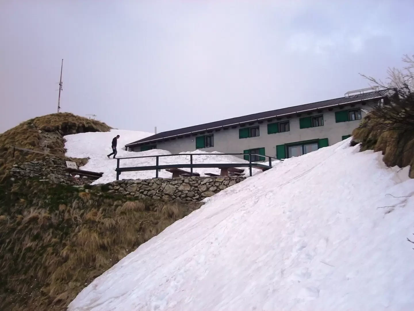
Rifugio Santa Rita, from Introbio


Edited by:
Benedetto Lorusso
Last survey: 10/05/2009
Updated at: 04/05/2025
Updated at: 04/05/2025
Difficulty
T2
Length
10.40 Km
Departure altitude
590 m
Arrival height
1999 m
Positive difference in height
1409 m
Round trip time
04h00'
Return time
03h00'
Recommended period
Exposure
Access
From Lecco to the Balisio pass and on to Introbio.
Follow the signs for the Biandino valley.
Park where the asphalt ends or continue, when permitted, to the two upper car parks.
After heavy snowfall access to the Troggia valley is prohibited due to the considerable danger of avalanches.
Description
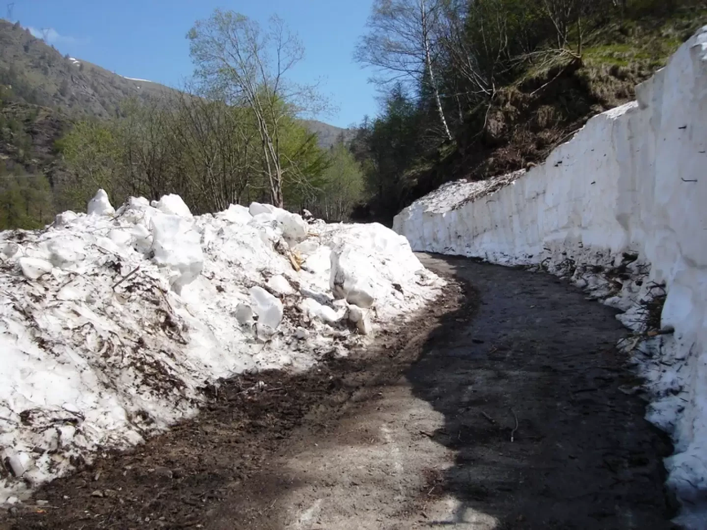
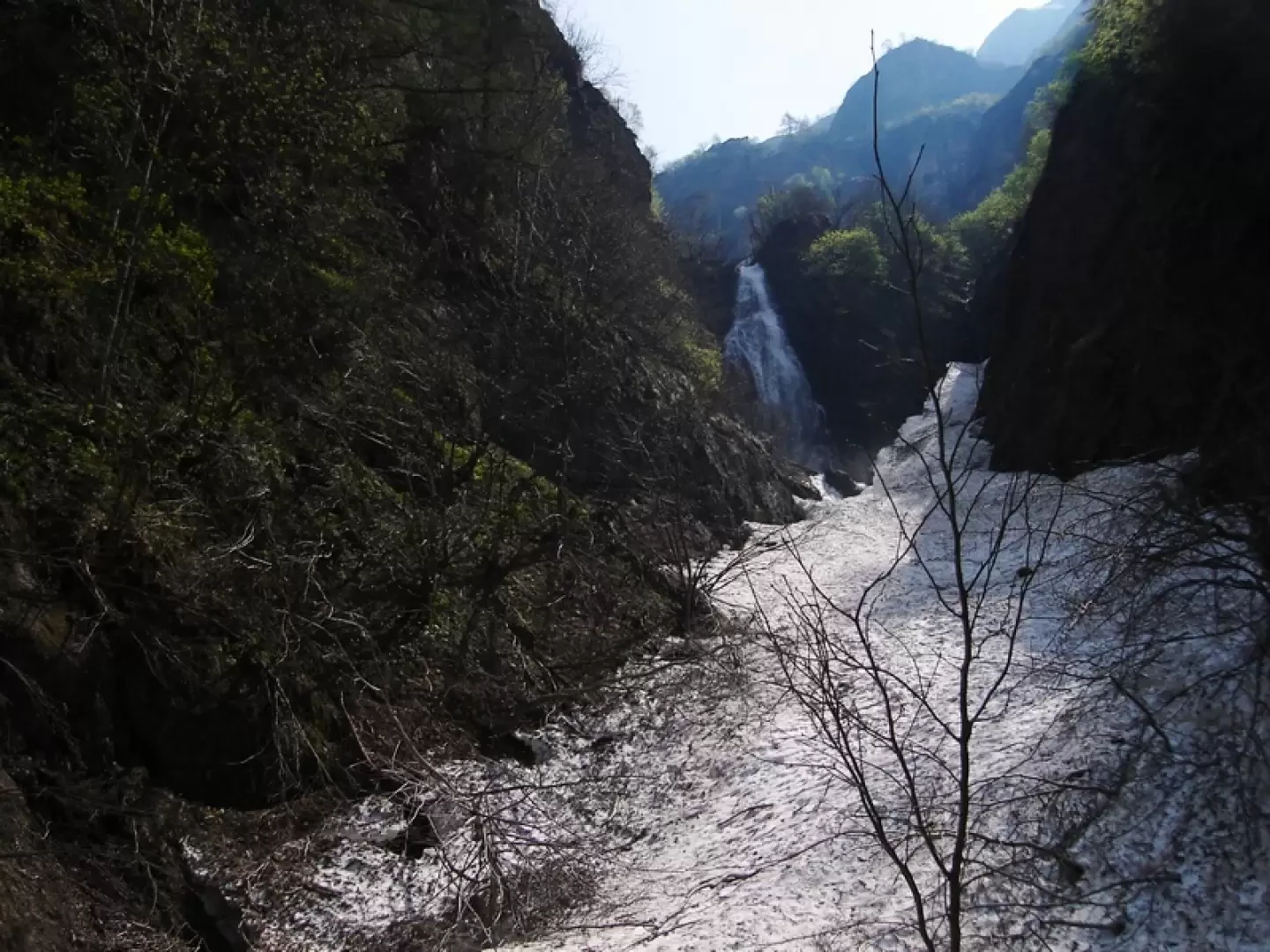
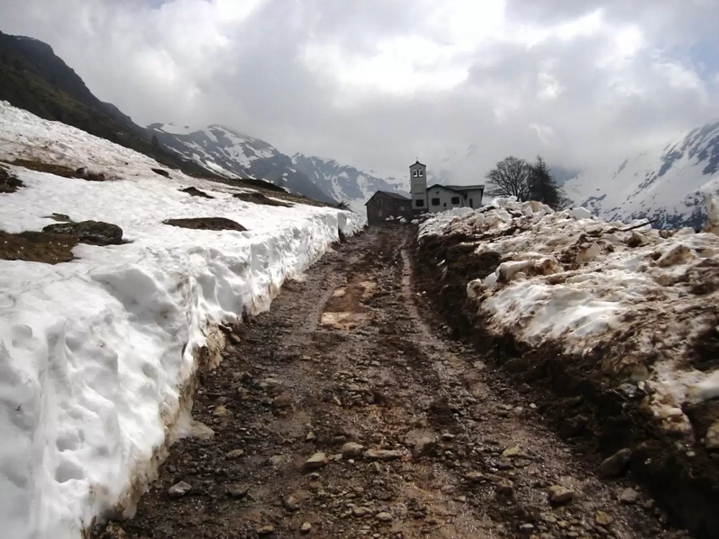
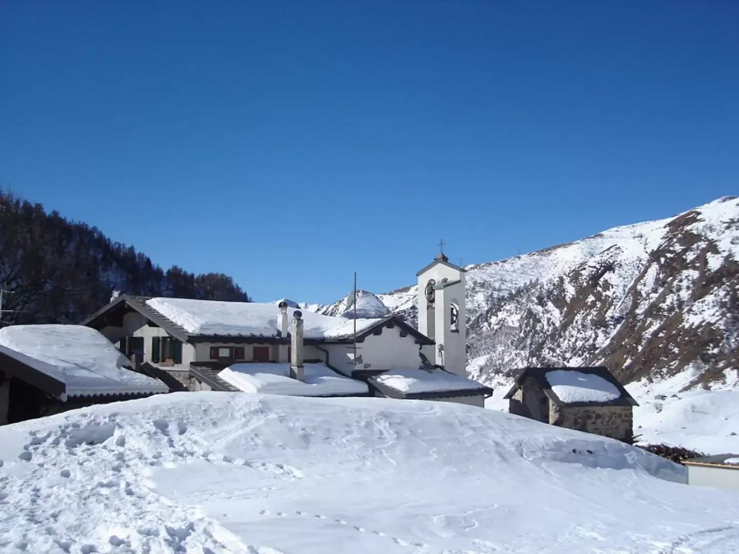
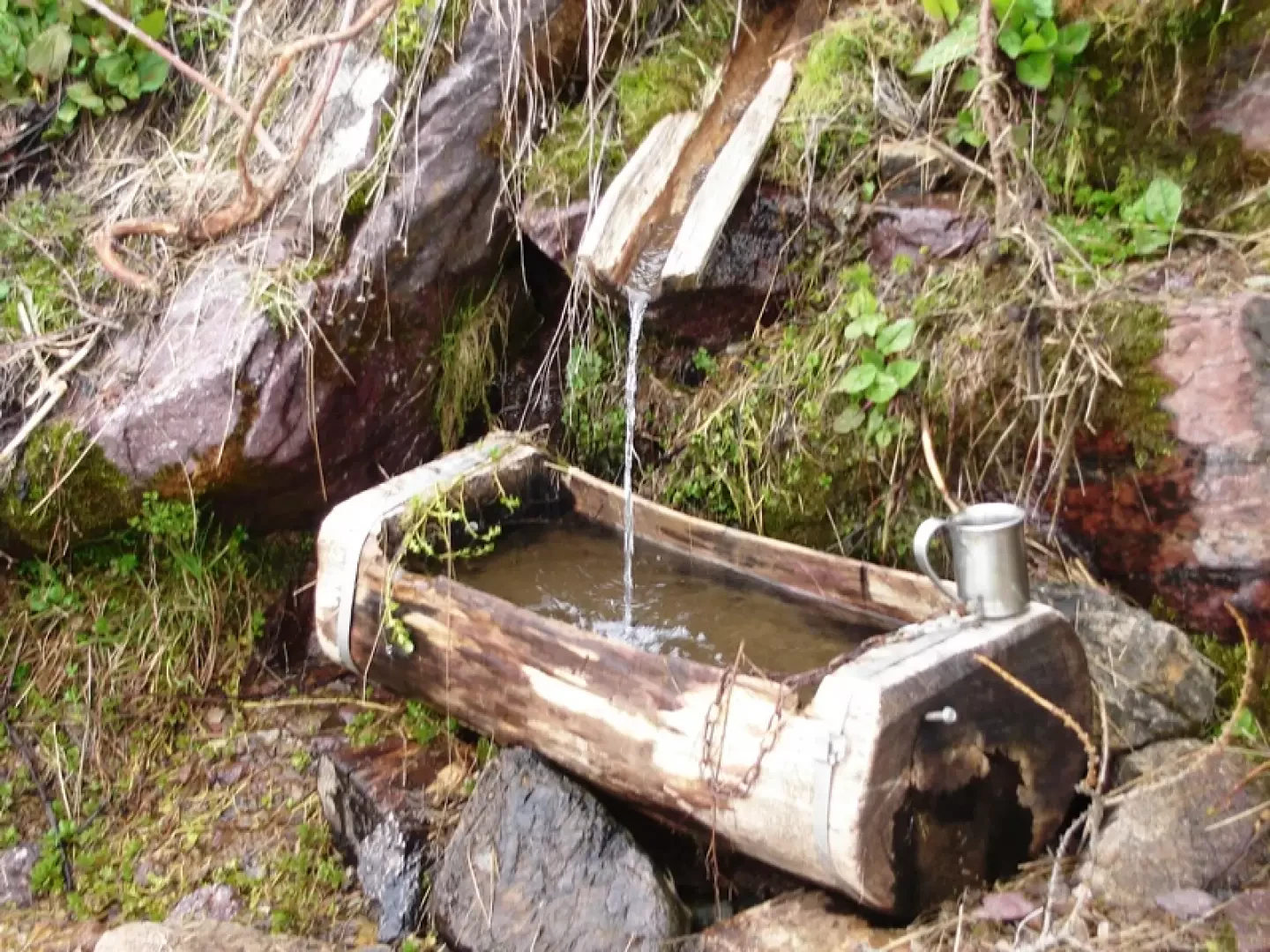
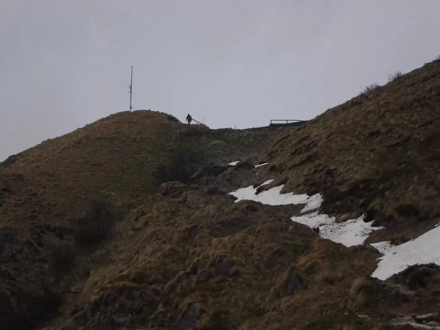
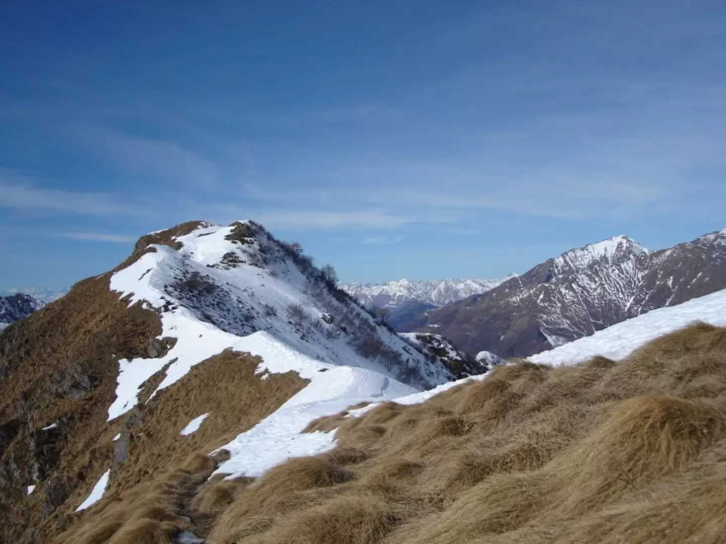
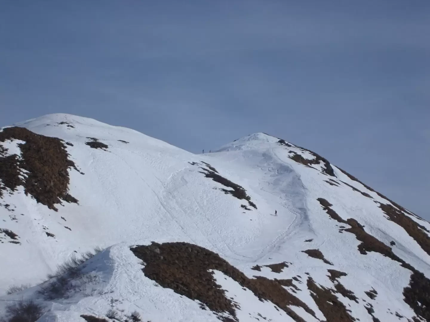
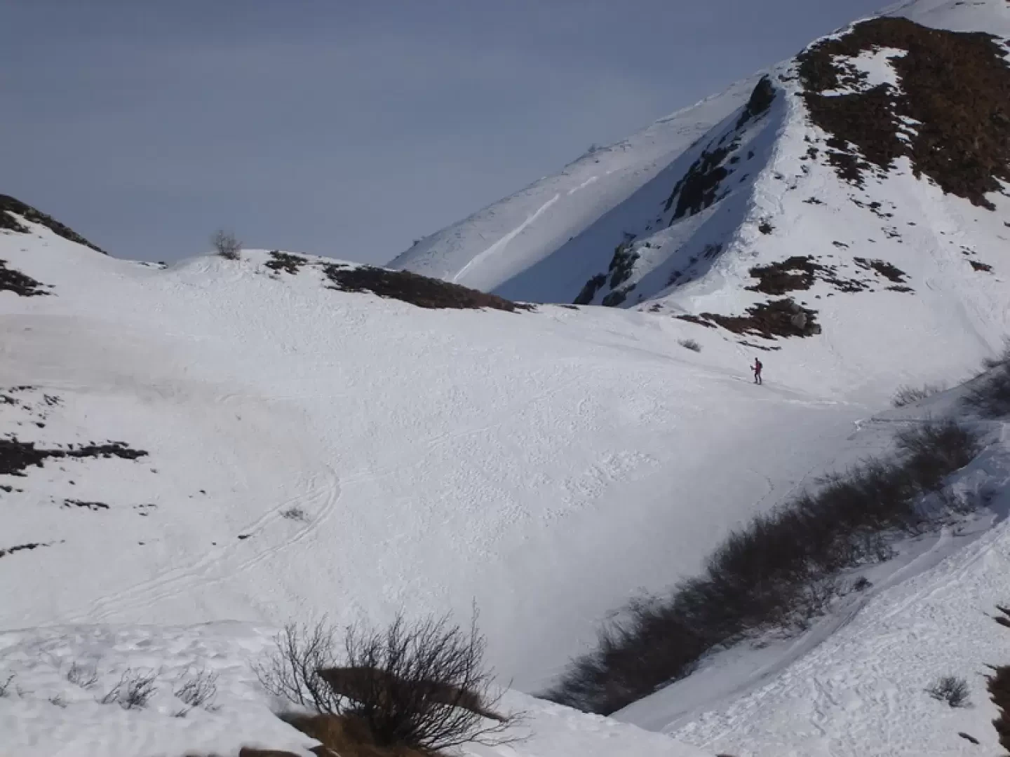
From the Introbio car park, a series of shortcuts leads first to the San Carlo spring (1h00') and then to the second Troggia car park, near an agriturismo. To the left is a path that runs along the right bank of the Troggia and to the right continues along the road. On the road, in winter, snowshoes are mostly useless, depending on snow conditions. The two itineraries rejoin just before the Biandino mouth. Leaving the itinerary for Grassi on the right, continue towards the Madonna di Biandino hut and immediately turn left to meet the path leading to Santa Rita. Continue eastwards for a long time, gaining height with a few bends and then continue to the right and finally climb up towards the gully that leads to the hut.Photo gallery
© 2021 - Benedetto Lorusso
© 2009 - Benedetto Lorusso
© 2009 - Benedetto Lorusso
© 2009 - Benedetto Lorusso
© 2009 - Benedetto Lorusso
© 2008 - Benedetto Lorusso
© 2009 - Benedetto Lorusso
© 2009 - Benedetto Lorusso
© 2009 - Benedetto Lorusso
© 2008 - Benedetto Lorusso
© 2008 - Benedetto Lorusso
© 2008 - Benedetto Lorusso
Comments (0)
Sign in to leave a comment