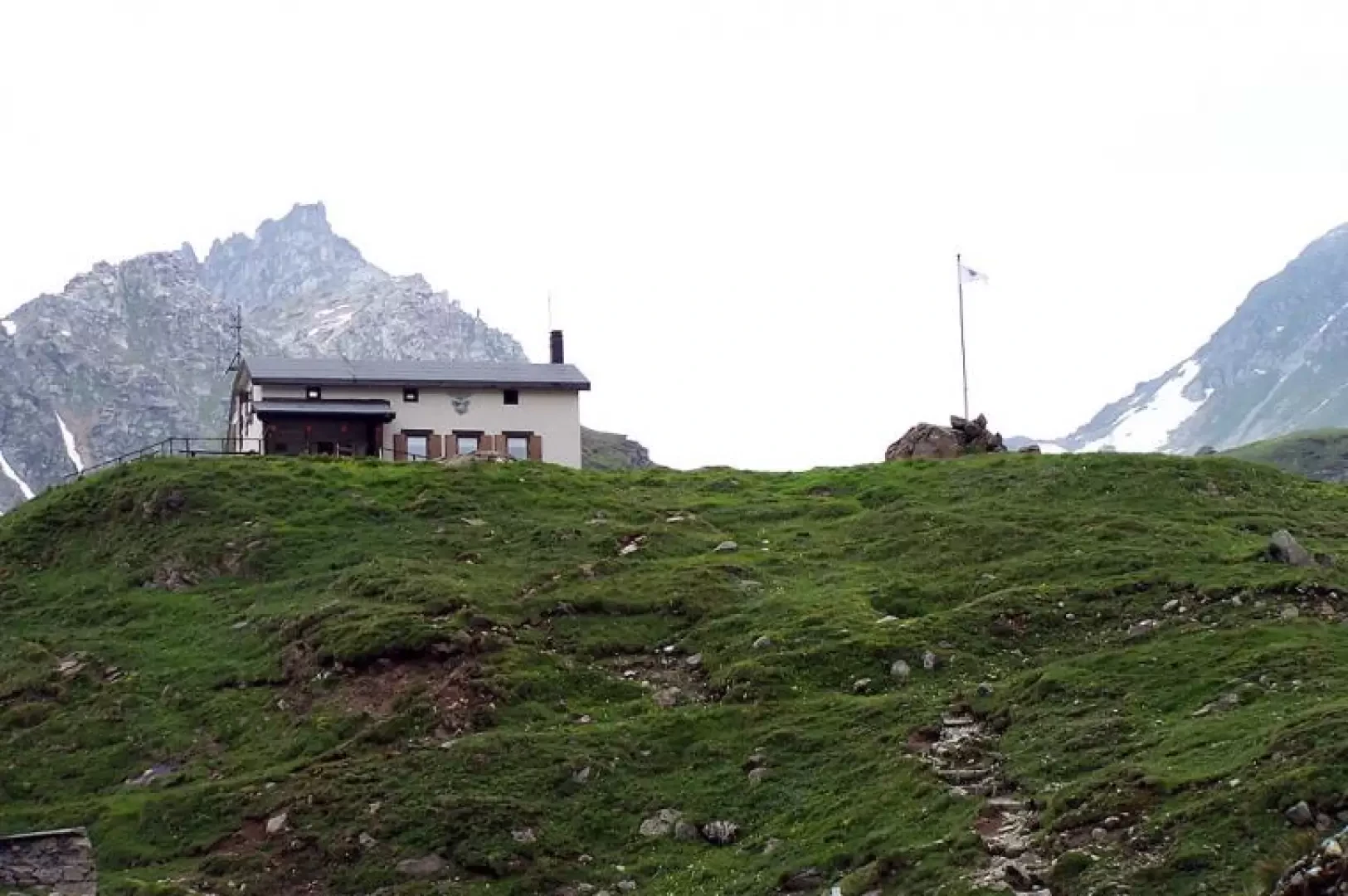
Margaroli Refuge, from Canza

Access
Leaving the A26 Voltri-Gravellona Toce motorway at the last exit of Gravellona Toce, continue on the dual carriageway to Domodossola and then on to Crodo and Formazza. You pass the main village of Ponte and, after a couple of kilometres, you reach the village of Canza.
Introduction
The refuge, built on a small rise near Lake Vannino by the SEO CAI section of Domodossola, was inaugurated in 1980 and commemorates Ossola mountain guide Eugenio Margaroli.
Description
From the main road you descend to the small car park located at the bottom of the village on the banks of the River Toce, where you can leave your car (there is a clearing with a signpost even before descending to the village). Walk towards the last houses where the various signposts are clearly visible and start to climb, first along an easy mule track and, after about a hundred metres, turn left onto an obvious path ("Vannino" signpost). We continue westwards, passing through a beech and coniferous wood and, climbing halfway up the hillside, we come to the mule track again (0h30'), which we leave immediately for the obvious continuation of the path, which branches off to the left still in the wood, which from now on will also be enriched with beautiful rhododendron bushes. After an hour or so of walking, you reach the arrival point of the chairlift (approx. 1750m), which departs from the hamlet of Valdo, and continue along the dirt track (signposts), which from now on will accompany you to the hut. We continue for an almost flat first section, then ascend in narrow hairpin bends with a steeper incline to the right of the little valley, in which the Underbech pastureland can be seen in its lower central part, to arrive in its upper part to the right of a wide blackish rock face. Now the slope decreases and you continue towards the obvious Punta d'Arbola (Ofenhorn) skirting some walls on the right equipped with bolts and, a little further on, you leave the path to the left for the nearby Myriam hut (run by the ACLI of Milan). Go past a waterfall on the left of the little valley at the bottom of which, after the last bend, you can see in the distance on a small promontory at the end of the wide plateau the white construction of the hut, which can now be reached in a few tens of minutes. From this you can see the extensive Lake Vannino in the basin bordered at its bottom by the Pizzi della Satta and Mount Minoia and, on the opposite side, just below the hut the Vannino Alp. During the approach and near the hut, many marmots can be seen. The return is by the same route as the outward journey (1h45'). For the ascent, you can, if you wish, use the chairlift that leaves from the hamlet of Valdo and is only open for a few hours in the early morning and late afternoon, thus shortening the climb by just over 300 metres.