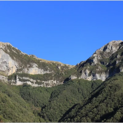
Forte dei Marmi Refuge, from Stazzema

Access
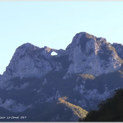
You exit the A12 Versilia tollbooth, direction Seravezza. After passing three sets of traffic lights and a roundabout (hideous dolphin sculpture), turn right at the next one. You pass through the hamlets of Marzocchino, Ripa, Corvaia, as far as Seravezza. From here, continue to Ponte Stazzemese, passing the hamlet of Ruosina and then turning right. You enter Ponte Stazzemese (view of Monte Forato) and turn right again for Stazzema. Shortly before arriving there, take a road on the right at a hairpin bend (Rif. Forte dei Marmi). After about 2 km and beyond a house, before the road becomes unpaved, you park. On the right, the path begins at 527 m. (about 20 km from the tollgate). Note the oddity that in Tuscany the cost of diesel is the same as in Liguria, but super costs 70/80 cents. Journey 1h45 / 2h from Genoa.
.Introduction
The mountainous area above Stazzema is criss-crossed by a dense network of paths and offers a wide variety of excursions to suit all tastes. We have not chosen to follow any of the direct routes, but rather the longest with a wide, very scenic tour with several points of interest, passing by the Foce delle Porchette. The route culminates at the Callare (pass) of Matanna and then descends to the structure.
Description
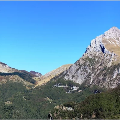
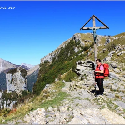
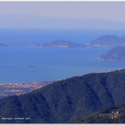
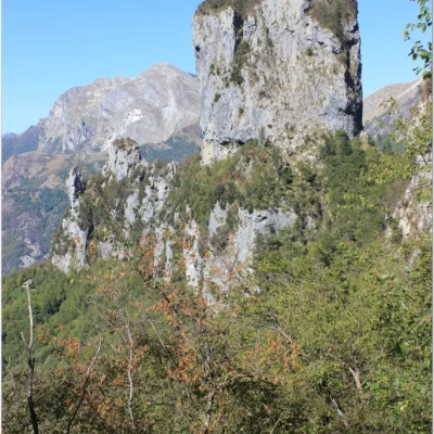
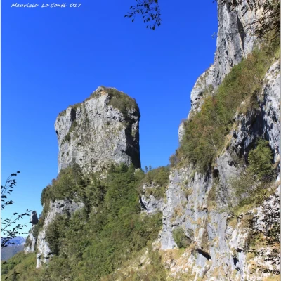
You will come across several small chapels, which in the area are called 'marginette' or 'maestà'. The route runs for a long stretch on beautiful cobblestones. We follow the mule track, reaching a fork in 0h05': to the right is a path to the refuge, but we go left and enter a beautiful wood of monumental chestnut trees. The figure of Pania stands out among the trees. In another 25', you are at an important crossroads and climb up to 'Casa Giorgini'. On a rock reads a 'maxim' of ancient wisdom: 'Work on your own salvation. Don't depend on others'... You skim an umpteenth margin and take on more altitude. Then, it flattens out a little; 0h15' and there is another fork (with a sign telling some news about Mount Procinto) and you continue straight on. The view towards Pania and Corchia opens up with a beautiful panorama. You now face another stupendous forest and ignore a final diversions to the right to the refuge (0h20'). You pass under some overhanging walls and, in another 0h10', ignore the track to the left for Cardoso. After 5', leave the signs for Petroscina / Fornovolasco and go to the right. Now go uphill, still on a nice paved road, gaining metres. In 25 minutes, you arrive at the Foce delle Porchette at 982 m (1h45 in total). From here, turn right back into the forest. There could be a track leading to the summit of the Nona... But, unfortunately, there is no clear indication of this... Perhaps above a cave or from another point with a stone cairn. When in doubt, we continue along the main marked route. However, the view of the 1314 m Mount Croce and the tower at Palegnana is stupendous. We cut across the slope of the Nona, first uphill and then flat, on a sometimes narrow path, then, from a rock, there is a slightly difficult passage and afterwards we must turn right, climb a second boulder and not descend on a more visible track. The arrow is not quite so obvious and could be missed (40')... Opposite, there is Mount Piglione 1233 m, but the lunch break is still a long way off. Thus we arrive in the Alto Matama area, where there is a hotel. In 10 minutes, as the road tends to descend, you will notice a pool for collecting water and from here you can continue by cutting across the flat slope so as not to have to go back up... in another 10 minutes, you will find the symbols again and at the top is the 'Christ of Callare' cross, built in the 1950s and restored several times (the last in 2008). In 5' you are at a truly super vantage point for a short break (1139m - Callare di Matanna). In the foreground, the tower of Mount Procinto 1171m emerges. We descend, with a couple of technical points, and touch on an artificial tunnel that used to serve a now disused ferrata (10'). The descent continues in a more peaceful manner. The Procinto is always in the foreground and deserves several shots. We neglect the diversions to the right that leads to its ferrata and take the Aristide Bruni path, not particularly difficult, but with a fixed steel rope, which winds its way at the foot of the vertical wall of Monte Nona. The aid is useful in case of wet terrain... you take a flat track and keeping to the left, you reach the refuge (868 m - 45'). Finally, you have arrived (3h45/4h total). Despite the fact that it is October, the temperature is pleasant and we eat out for an excellent, reasonably priced meal (35 E. in 2). Note the paccheri with pumpkin sauce and speck (!) and the ricotta cake with strawberry grape jam (!).
Hut info: tel. 0584 777051 -- 3313277741 - https://rifugiofortedeimarmi.wordpress.com/ - rifugiofortedeimarmi@gmail.com .
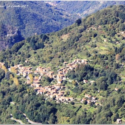
After a well-deserved rest, we set off again, retracing our steps briefly until we reach the source of the Grotto, where we consider, in sequence, first a signpost to the left and then another to the right. In a little more than 30', you are above the "B and B" Casa Giorgini, where you close the loop. We either take the morning route again or descend directly onto the dirt track (40' either way - 1h/1h15 total return) Actually, we lose a little more time, for a very abundant harvest of extremely large chestnuts, which turned out to be very tasty! Before returning, there is time for a short visit to Stazzema, sadly famous for a massacre in 1944. A last glance at the area you have passed through is a must.
All in all: Beautiful day, with excellent visibility disl almost 650 mt Dif. E for about 5h Total + all the breaks to see the various places you encounter.
Photo pdf file of the wonderful tour on the Apuane Alps (divided into two documents):
http://cralgalliera.altervista.org/RifForteDeiMarmi017A.pdf
http://cralgalliera.altervista.org/RifForteDeiMarmi017B.pdf
Other tours on the Apuane Alps and surroundings:
http://www.cralgalliera.altervista.org/GiteApuaneAltaToscana.htm
Other trips 2017:
http://cralgalliera.altervista.org/altre2017.htm
NB: in the case of an excursion, always check with FIE, Cai, any park authority or other institutions, pro loco, etc., that there have been no changes that have increased the difficulties! No liability is accepted. The present text is purely indicative and not exhaustive.
Info Hiking Section Cral Galliera: http://www.cralgalliera.altervista.org/esc.htm
Trips 2017 at link: http://www.cralgalliera.altervista.org/gite2017.pdf

