Rifugio Bozzi, from Pra del Rum


Edited by:
Ivano Ruffoni
Updated at: 15/03/2025
Access
At the Ospitaletto exit of the [A4] motorway, follow the local signs for Valle Camonica following the SP19 and SP510. Near Pian Camuno go up the valley on the SS42 del Tonale e della Mendola road to Edolo, turn right towards Passo del Tonale, pass Incudine, Vezza d'Oglio, Temù and Pontedilegno. Shortly after the first hairpin bend following Pontedilegno, turn left onto the road to Passo di Gavia and climb up Valle di Pezzo. After two more hairpin bends, turn right towards Pezzo, enter the Viso valley and continue until you reach the Case di Viso car park (1763m).
* Note #1 Pontedilegno can also be reached from Valtellina - via the Aprica (SS39) and Gavia (SS300) passes - or from Trentino - going up the Val di Sole and Val Vermiglio via the Tonale Pass (SS42).
* Note #2 The road from Pezzo to the Case di Viso is one-way during the middle of the day. It may therefore be necessary, when returning by car, to take the dirt road on the orographic side opposite the outward journey, reconnecting with the SS42 of Tonale and Mendola near the fourth hairpin bend.
Introduction
The proposed route, which is quite popular, takes place entirely in the Stelvio National Park (Nationalpark Stilfser Joch).
Description
From the car park, continue to cross the Case di Viso (1763m) following the
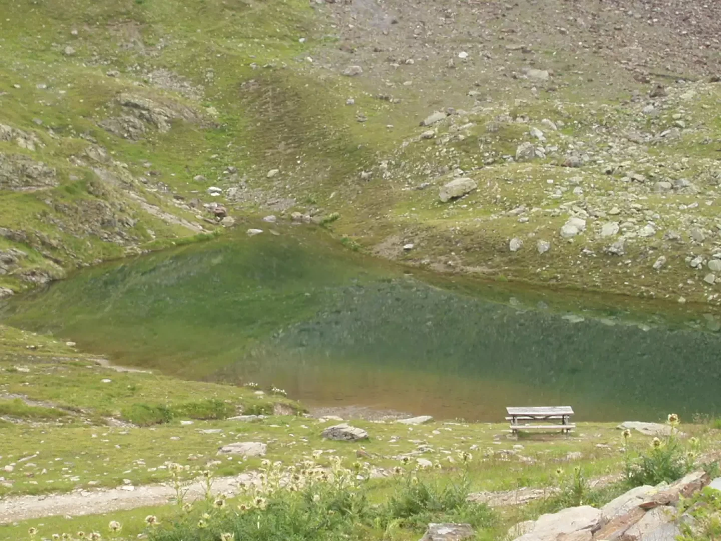
signpost, next to the Oglio Arcanello, until you rejoin the dirt track that goes round the strip of houses. Follow the off-road track as far as the first hairpin bend to the right, where you can follow the shortcut around the second hairpin bend, or alternatively after a few dozen metres. In a short time, you will reach the "Pra del Rum" picnic area (1877 m, 0h15'), which can also be reached by car.
Under the signs to the left for Laghi Ercavallo and Laghetto di Viso, continue to the right along the dirt track, marker
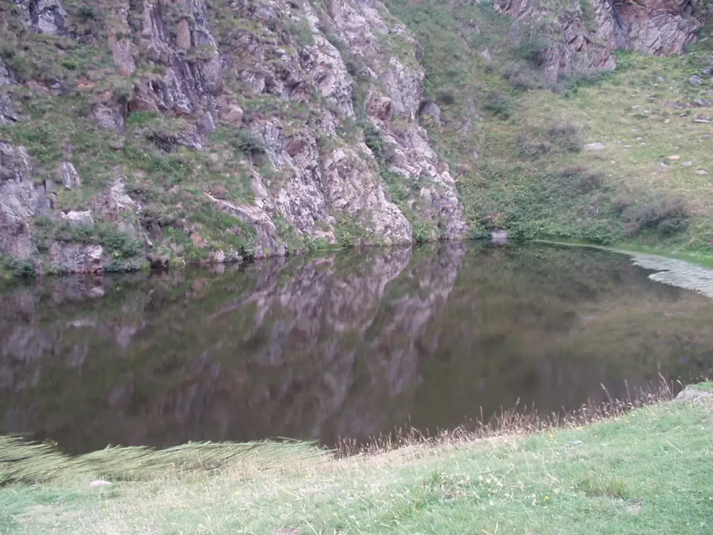
. By turns, climb the grassy slope with beautiful views of the Viso valley below and the little lake of the same name. As you proceed, the possibilities for shortcuts on the numerous hairpin bends become more numerous and evident. Continuing through grass and bumps, we come in sight of the building, close to the hut, which houses the museum, pass by the lower Montozzo pond and, leaving the dirt road to the right, skirt the emissary stream of the upper Montozzo pond.
Having reached the lake, on the left, we climb up the hump on which the "Angelino Bozzi" Montozzo hut stands (2478 m, 1h45'). The area is well worth a prolonged stop: nearby are the crucifix, some trenches, a watchtower, the museum with artefacts collected in the surrounding war zones, the military village and the firing positions.
The return is by the same route as far as "Pra del Rum" (1877 m, 1h00').
Now, as an alternative to the direct descent, it is suggested to cross the picnic area on the right and, following the
signpost, cross the bridge over the Oglio Arcanello, shortly leading to the Laghetto di Viso (1h10'). You now descend a grassy hump and, with a subsequent long diagonal across meadows, you reach the Case di Viso car park (1763 m, 1h25').
Photo gallery
Comments (0)
Sign in to leave a comment