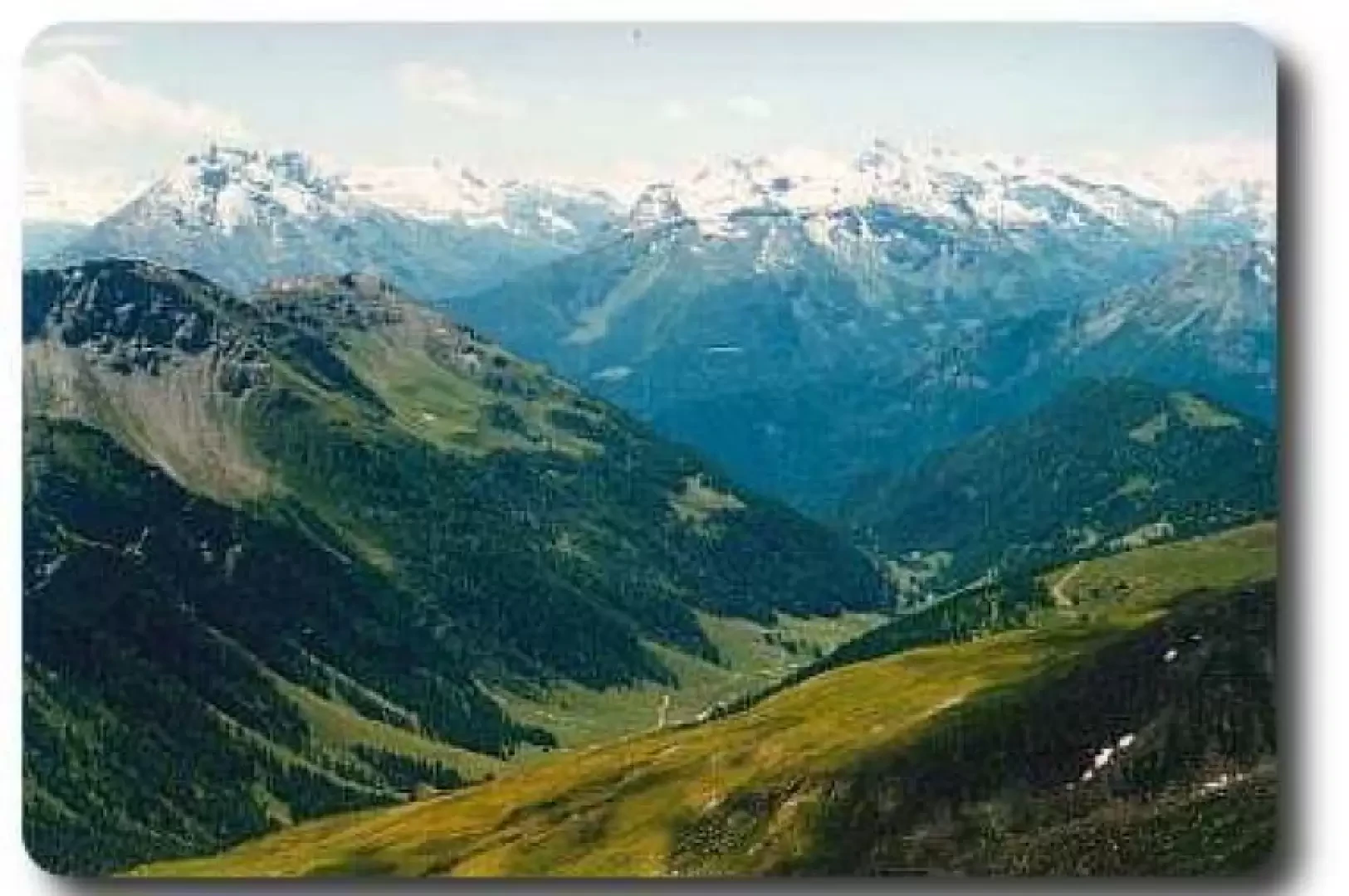
Punta Valletta, from Vens

Introduction
We reach a summit strategically located to enjoy the panorama of all the main peaks of the Aosta Valley, especially the north-western arc, and the Gran Paradiso massif that lies opposite.
Description
The hike crosses the whole of the Vertosan comba: it is a long, unpaved farm road starting from the locality of Joux. There is no explicit prohibition of transit and there is a car park at the end in the locality of Jovençan. However, those with a love of nature and good legs can deliberately lengthen their trek by covering the entire stretch on foot (1h30' - 2h00') or preferably by mountain bike. The start is downhill (which will turn into uphill on the way back!), then the continuation is a long plateau until the end of the valley, at Jovençan.
The farm road continues further on, but this time with the usual restrictions on use. Near the bridge that crosses the stream to lead to the Ruines pastures (2080m), continue for a few metres on the orographic right of the stream until you find the actual path. Shortly afterwards, you reach a signposted fork in the path, which indicates the directions to Col Citrin (10) and the Zioule lakes (11).
Following the path (10), you climb up a ridge, surmounted by our Valletta peak. An hour's walk is enough to reach Col Citrin. From here, keeping at altitude, we skirt the left side of the valley, along a track that often disappears. In a few minutes, our path is barred by a scree slope that descends towards the centre of the valley: cross it diagonally, aiming for the north-east slope of Punta Valletta, which is on the opposite side of the basin. There are cairns and footpaths, but everyone can easily find their own route.
Heading north-east, you will cross the path (8A) that leads to the summit. It is another hour's climb, very steep and sometimes hidden by the last snowfields. Again, there are no problems in finding your way up, and after a short time you will find the numerous yellow signs indicating the route.
The summit is extremely panoramic over the mountains surrounding the Gran San Bernardo, the Gran Paradiso massif opposite, the Mont Blanc massif in the background and most of the main Aosta Valley peaks.
Descent along the same route: to avoid confusion and find exactly the Citrin pass again, simply aim for the highest pylon, which can be seen on our right as we descend.