Punta Martin, from the Piani di Praglia

Edited by:
Maurizio Loconti
Updated at: 03/11/2025
Access
From the Bolzaneto tollbooth go up to Pontedecimo where you turn off for Campomorone. After passing this village you head towards Praglia and after 12 km turn left and continue for about 200 metres, leaving the car about 868 m.
.Introduction
All in all, it was the right outing for our group. The route had to be easy and comfortable! Other advantages of the chosen tour lay in the ease of access by car (which was not trivial given the insurmountable problems on the rivieras caused by the motorway authority), with no traffic at all, and the certainty that, knowing the type of area, the cool weather would be the master. Moreover, it was a route that had been missing for about 25 years... so... Ready, set and go...
.Description
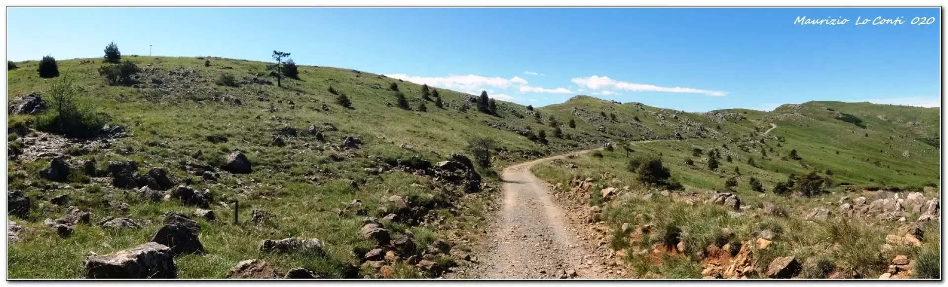
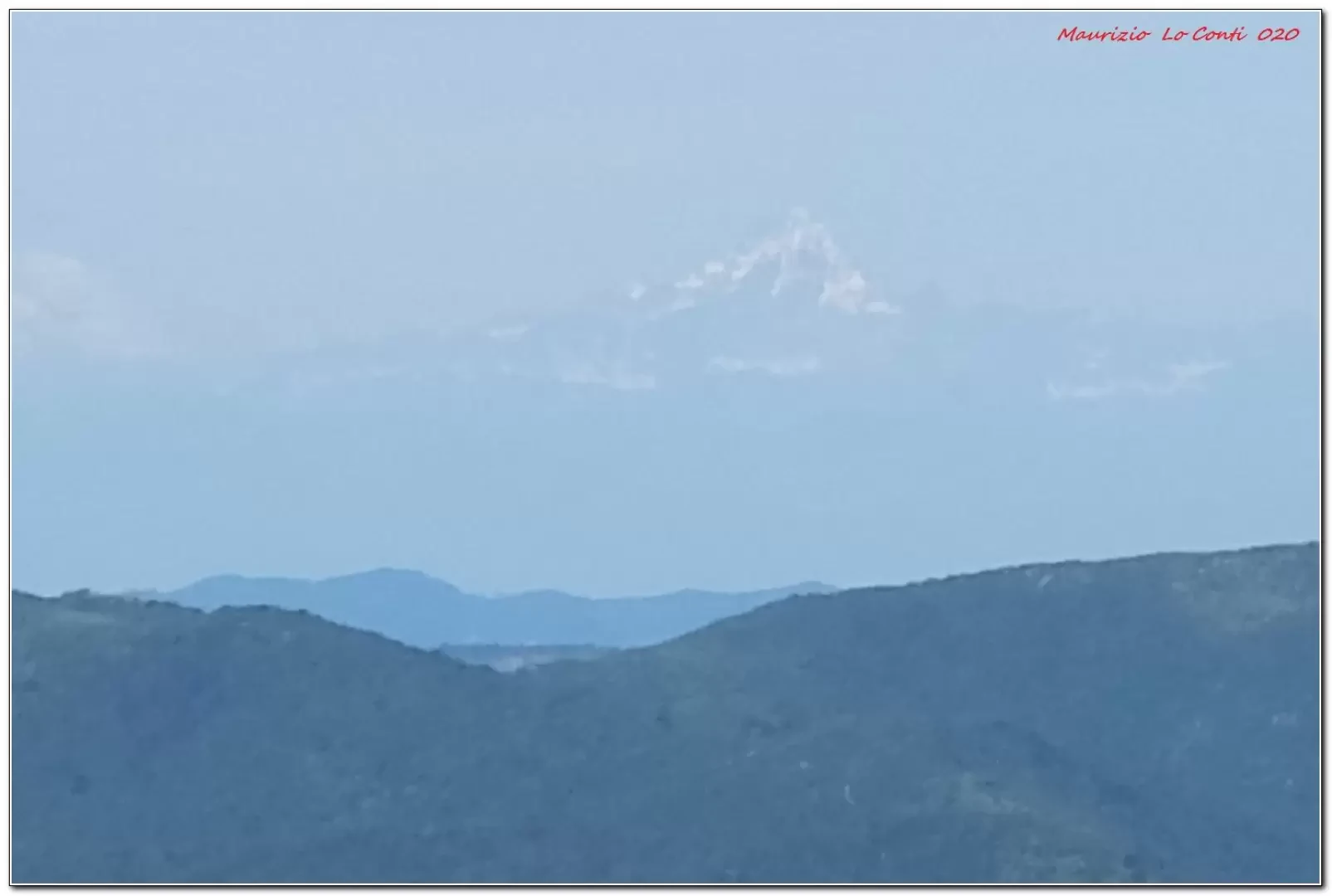
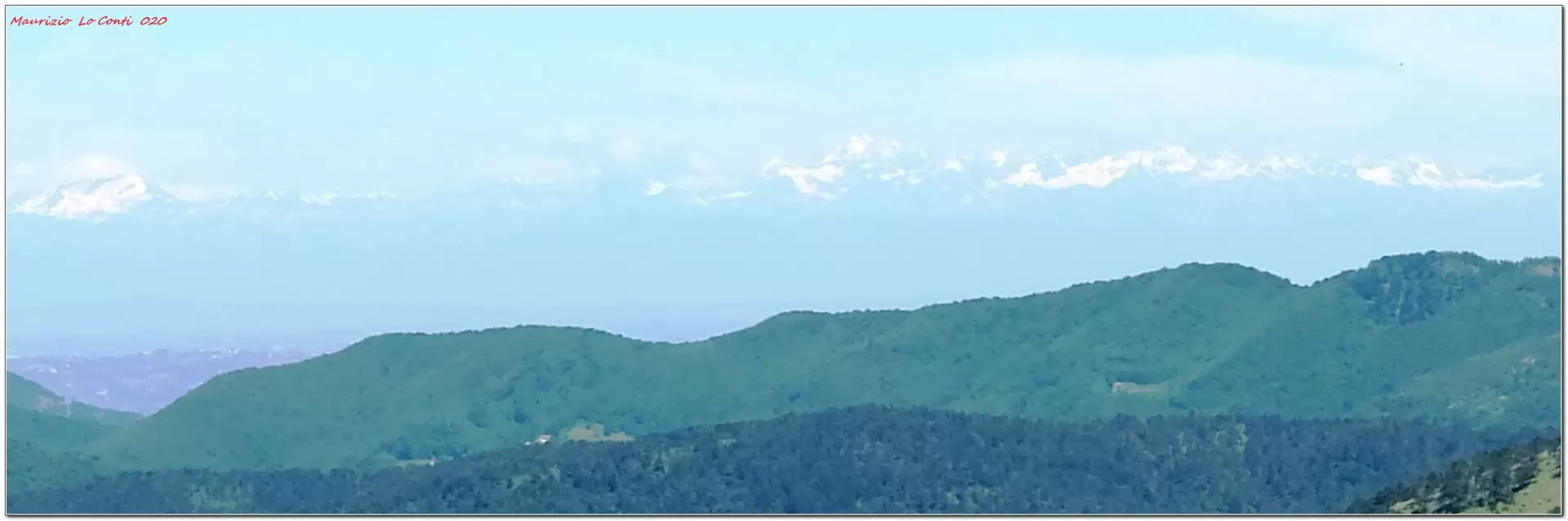
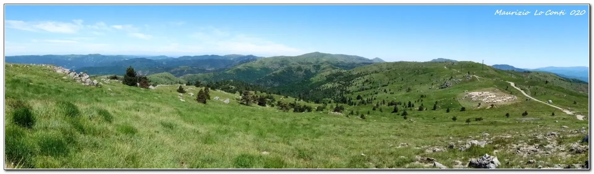
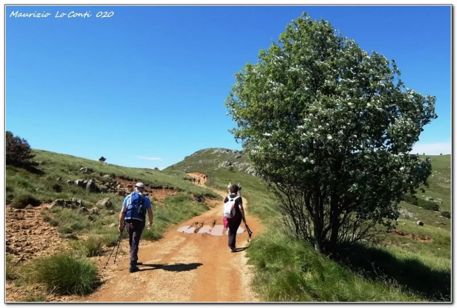
The route follows a wide track up to Mount Pennello with extensive views: you can see Monviso and snow on the Alps beyond the Po Valley. After about 1h35 you arrive at Monte Pennello, where there are two small bivouacs useful for stopping. Before that, however, in about 30 minutes, you can go to and from punta Martin (1001 m), which is easily accessible from the north by footpath. Quite different are the hikes that start from the coast or from Acquasanta, with significant altitude differences...
A pleasant break is a must in the construction area. Afterwards, we set off again and return to the car in 1h25, back on the morning route. In the afternoon the wind picks up and . it's almost cold! despite the fact that on the coast it's the first warm day of this early summer...
All in all: diff. T, difference in height 200 m almost all on a dirt track so very very easy, approx. 3h30 total, almost 12 km to punta Martin, a couple less to Pennello.
NB: in the case of an excursion, always check with FIE, Cai, any park authority or other institutions, pro loco, etc., that there have been no changes that have increased the difficulties! No liability is accepted. This text is purely indicative and not exhaustive.
In addition to the usual pdf with a little more info:
http://www.cralgalliera.altervista.org/PragliaPuntaMartin020.pdf
http://www.cralgalliera.altervista.org/anno2020.htm
http://www.cralgalliera.altervista.org/altre2020.htm
General information
Way: from Piani di Praglia
Signposts:FIE
Type of route: a/r
Recommended period of time: April, May, June, September, October, November
Sun exposure: north
Objective Danger: none
Exposed Tracts: none
Useful Equipment:normal daily hiking equipment
Water: n.r.
Galleria fotografica