Scarpìa Pond, from Piode


Edited by:
Giancarlo Beretta
Updated at: 03/09/2024
Access
You take the A-26 Genoa-Gravellona Toce motorway and exit at the Romagnano Sesia tollgate, then follow the signs for Alagna Valsesia; after passing the municipality of Varallo, continue towards the upper Valsesia and at the village of Piode turn left, following the signs for Rassa. When you reach the village, keep to the left where you will find a convenient car park where you can leave your car (after a few hundred metres there is a no-trespassing sign).
Introduction
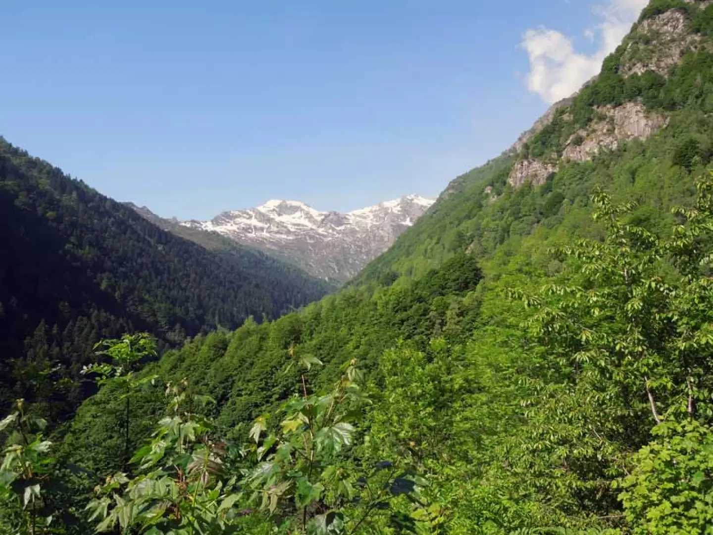
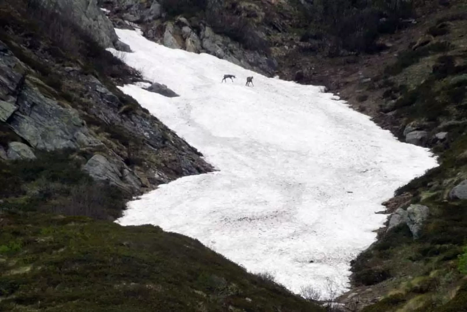
This solitary little lake is located almost at the head of a side valley of the Val Gronda, in upper Valsesia, and more precisely under the rocky slopes of the Ventularo peak and the Becco di Cossarello. The peculiarity of this excursion, apart from the small lake of course, is the uncontaminated beauty of the places one crosses, immersed in complete 'wilderness': from Alpe Piana onwards, the wild environment and the lack of people contribute to recommending the climb to lovers of tranquillity and unspoilt places. The path is rarely lost in the grassy areas and in any case the itinerary is always clear due to the presence of the trail markers; the most tiring stretch is the one beyond Alpe Sassolenda, while some attention must be paid to a couple of fords of the torrent, which during the thaw require careful evaluation of the crossing points. Of course, the characteristics of the area offer us the opportunity to see many animals (fawns, marmots and chamois) integrated into their habitats. The willingness of some of the valley dwellers to keep some, but unfortunately not all, of the few old alpine pastures 'alive' is certainly to be appreciated.
Description
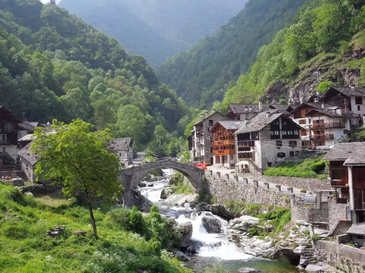
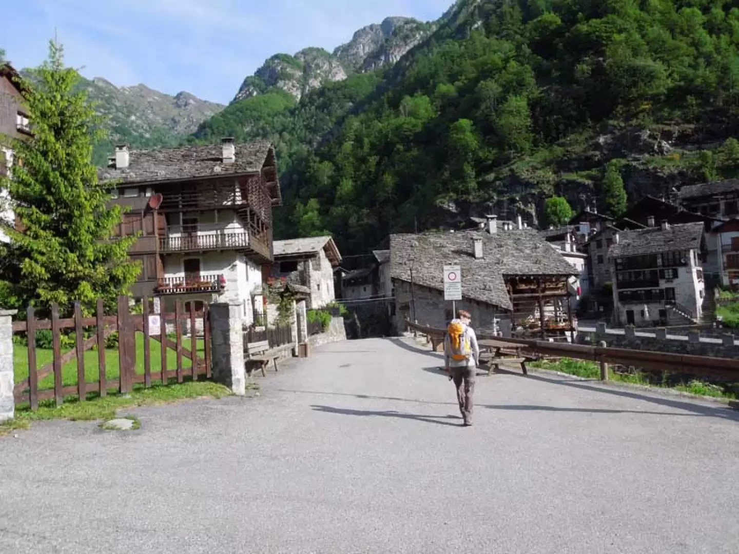
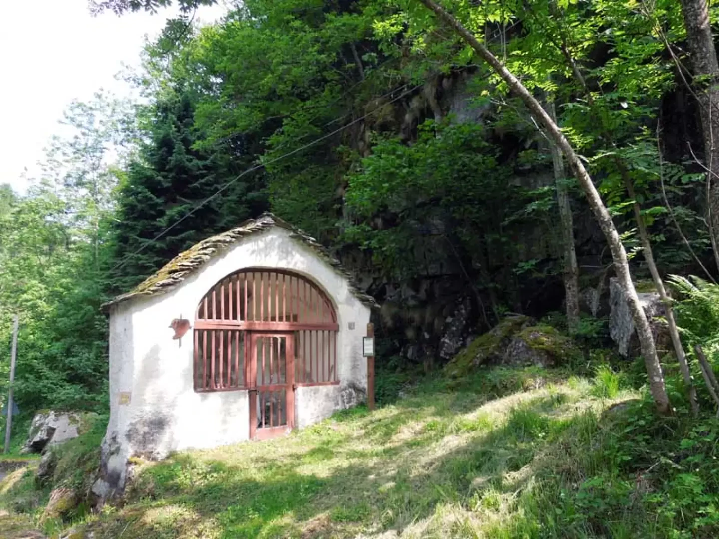
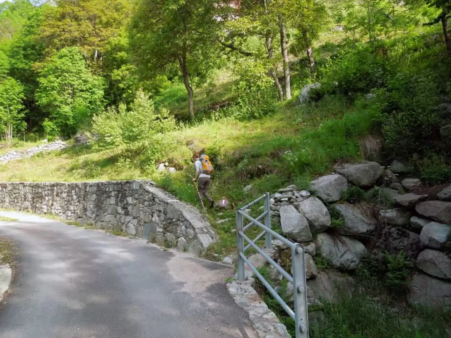
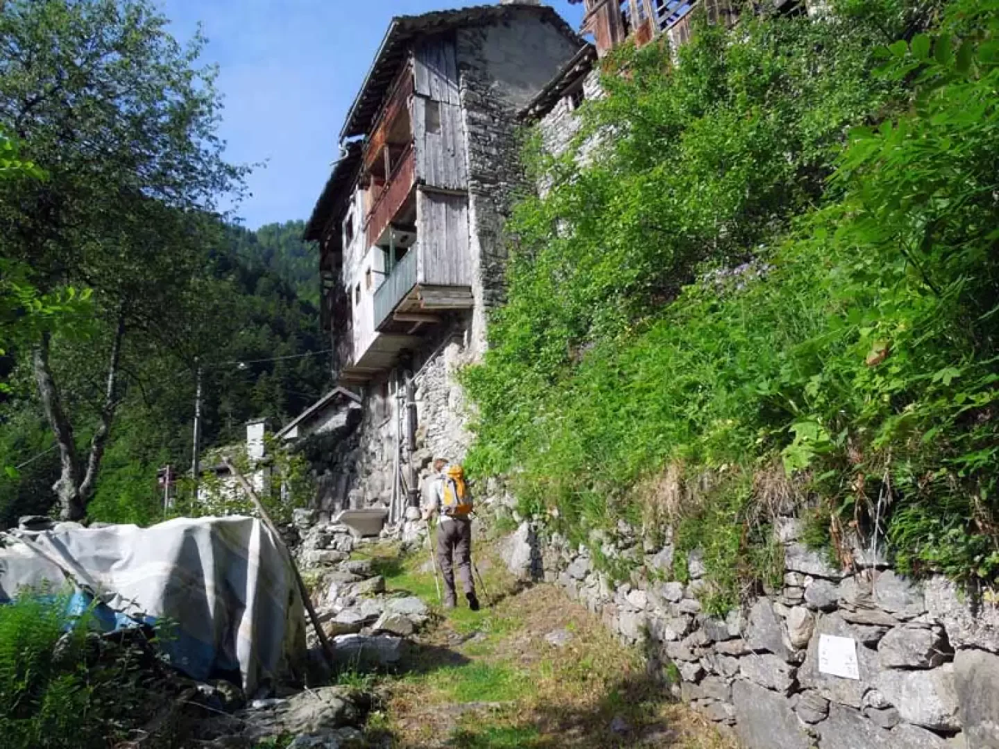
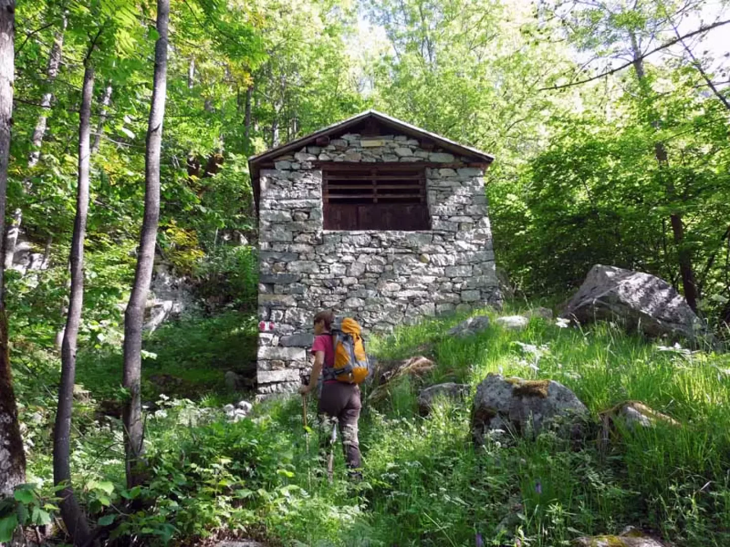
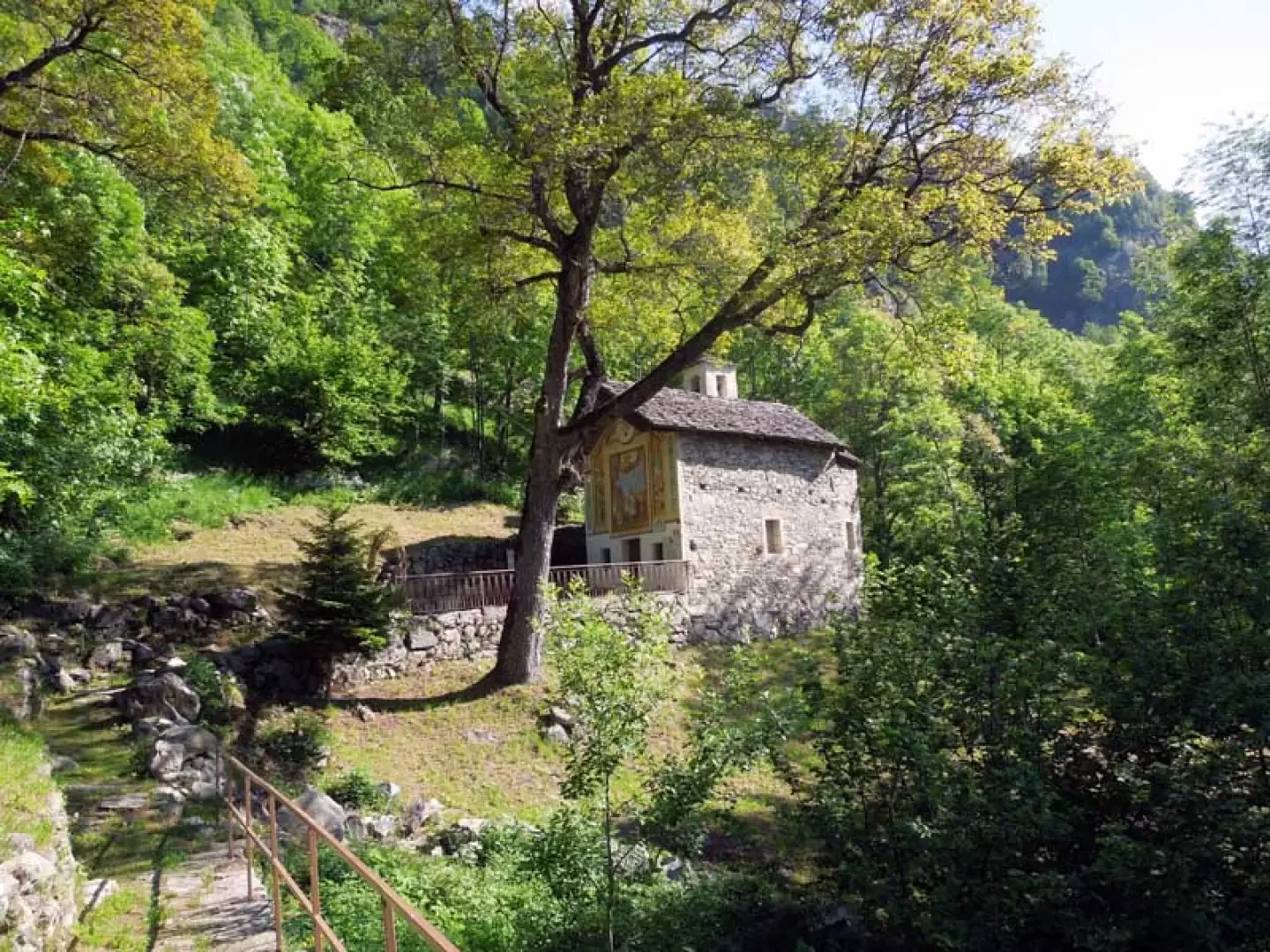
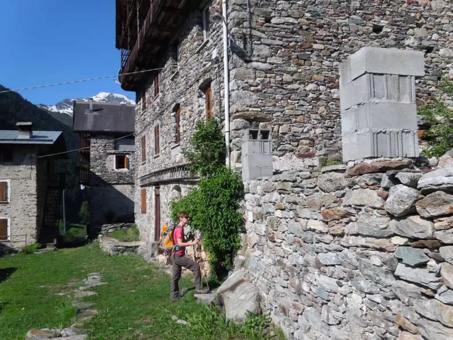
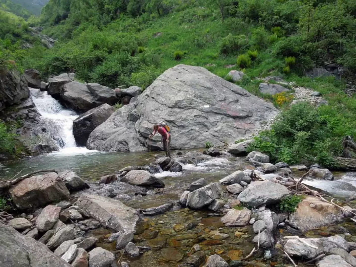
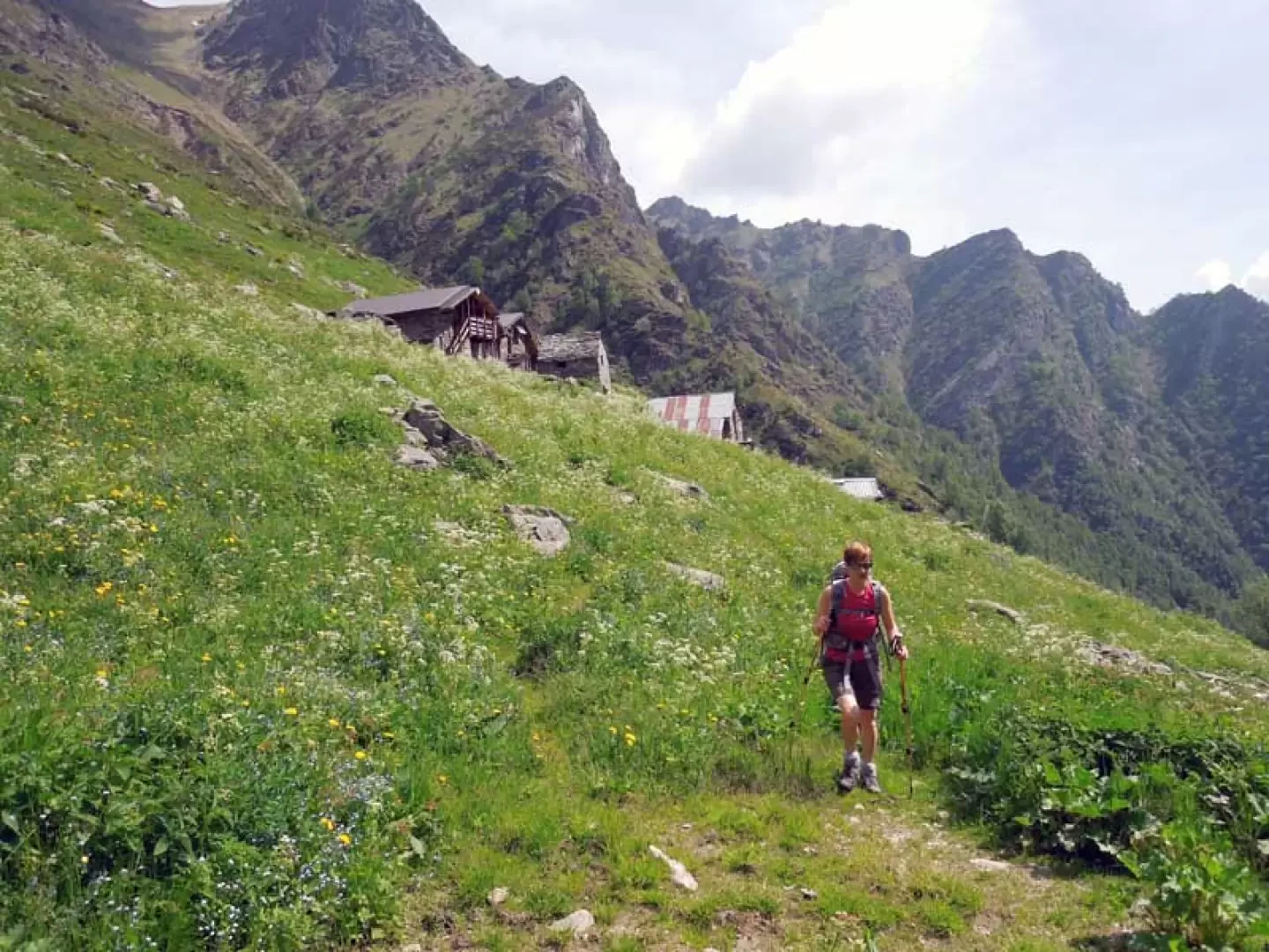
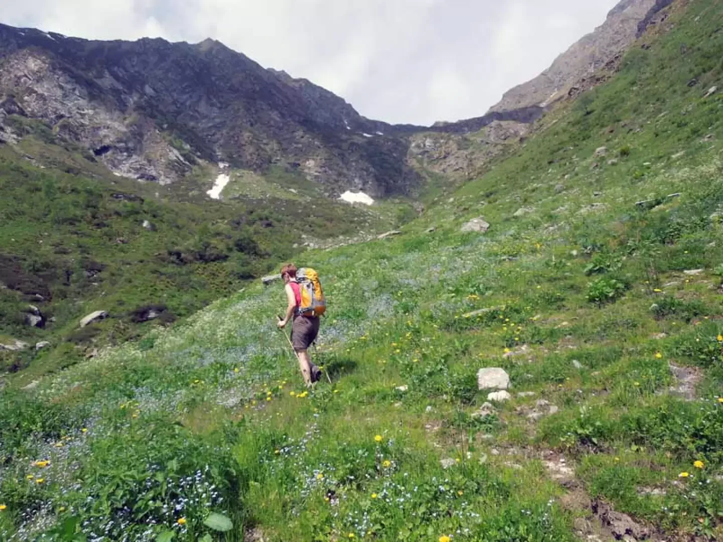
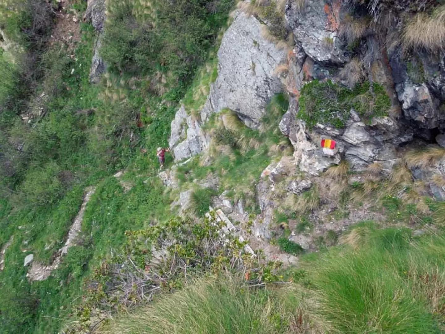
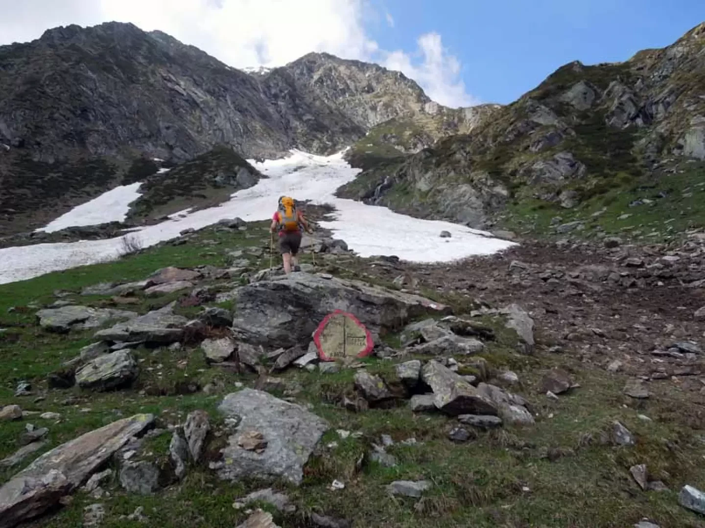
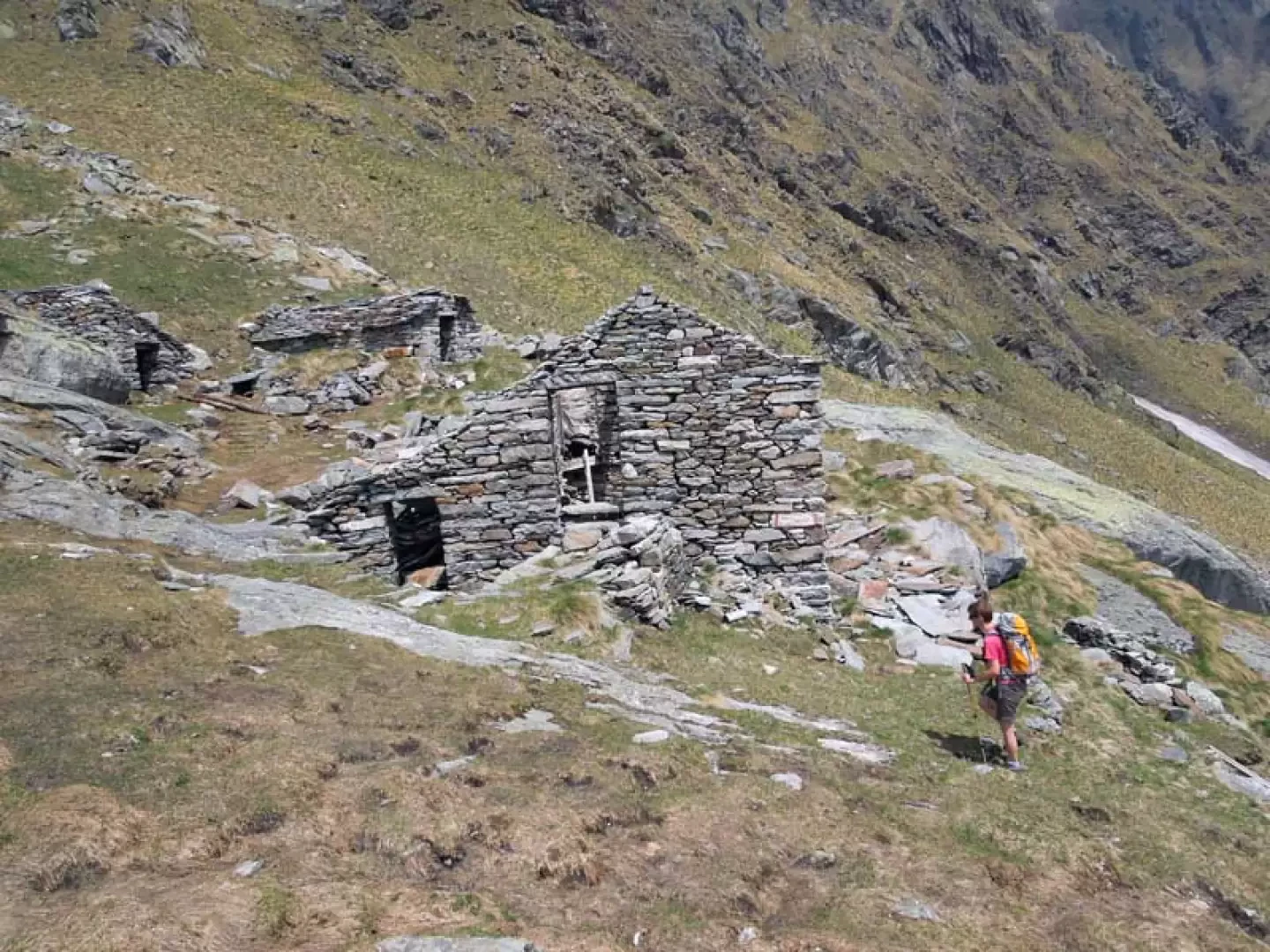
From the car park, continue along the road that a little further on veers to the right, heading towards the last houses of the municipality, which you cross skirting the stream without crossing the beautiful stone bridge. Continuing on the left side of the Gronda stream, you pass a first small chapel and then another larger one dedicated to San Nicolao. You cross a bridge and after a couple of hairpin bends, near an iron handrail, a path branches off that climbs above a small retaining wall. Once on this path, go up along the side of a low wall and almost immediately come to a well-marked fork in the road, at which you turn left, ignoring the one that continues straight on to the hamlet of Oro, reaching the nearby hamlet of Ortigoso (1122 m). Turning right, you pass the houses, beyond which the path passes a short landslide section protected by a chain, and continues along the hillside through the beech forest, passing a small chapel. Rising slightly, pass to the left of an isolated hut (1188 m) and then, still traversing, reach the nearby Alpe Piana arriving from behind the beautiful oratory of San Bernardo; walking on the comfortable mule track, cross the huts arriving at a fork situated at the end of a stone wall at which you turn right (1210 m) to go past the houses and continue halfway up the hillside entering a wild side valley. Remaining on the right, orographic left, the path follows the steep sides of the mountain and, turning then to the left, heads towards a waterfall near which there is a first ford of the torrent (1401 m); after a few minutes you arrive at a second ford (1429 m), where there is also a steel cable in case you want to be on the safe side, beyond which the path continues with little slope passing a few metres below the panoramic Alpe Sassolenda (1663 m). Here the trail gets a little lost in the low vegetation, but you are still in the presence of the trail markers, some a little faded, others clearly visible, placed on the stones of the grassy slope; this is now climbed with a more accentuated slope, remaining always on the same side towards the head of the valley. The path approaches the course of the torrent to cross it again at the point of best chance (about 1763 m) where, having passed on the other side, you leave a path that branches off to the left, climbing laboriously and, also making another ford (2113 m), you approach a steep grassy gully beyond which you keep to the left to climb a marked grassy rib. Above this you pass not far from the Alpe Scarpìa huts, at the crossroads of which you continue straight on along a grassy chute beyond which the path shifts to the right and, having passed two large stone cairns where the path loses its way a little, arrives in view of the Alpe Laghetto, clearly visible on the right on the nearby upper ridge; having reached the huts, which are practically in ruins (2218 m), go up a few more metres where, a little further on, you will find the solitary little lake lying in a morainic basin.
Photo gallery
Comments (0)
Sign in to leave a comment