Unusual paths on the Portofino mountain


Edited by:
Maurizio Loconti
Updated at: 20/04/2025
Introduction
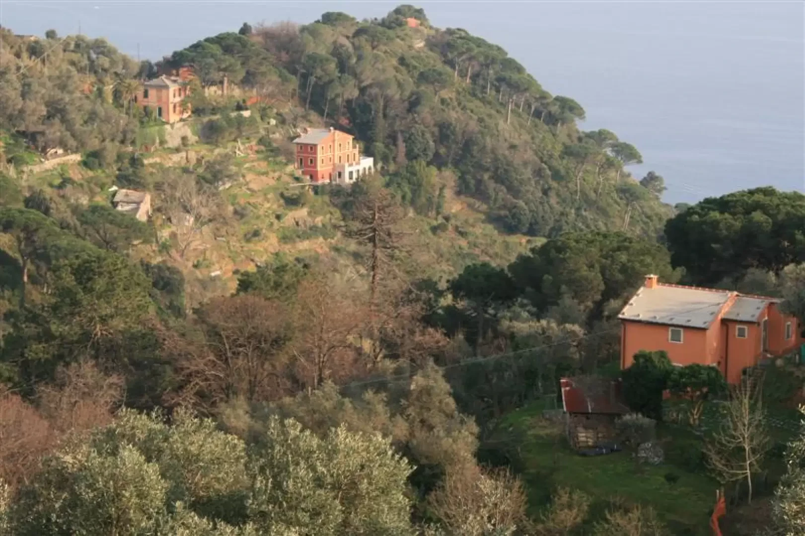
The Portofino park area is a real feather in its cap, with a dense network of paths (signposted and otherwise) all well maintained. At the many forks in the path, there are a series of numbered marker posts (shown on a beautiful, recent map) so that you always know exactly where you are... One thing I have noticed over the many years I have been visiting the area is that almost all the people move along the main routes and the older marked paths, while all the other routes end up being neglected... Thus, it happens that there is a queue on some routes and no one on others, even on certain 'peak' dates... These brief notes serve to provide some indications for travelling through the park without finding too many people...
Description
Trail 1
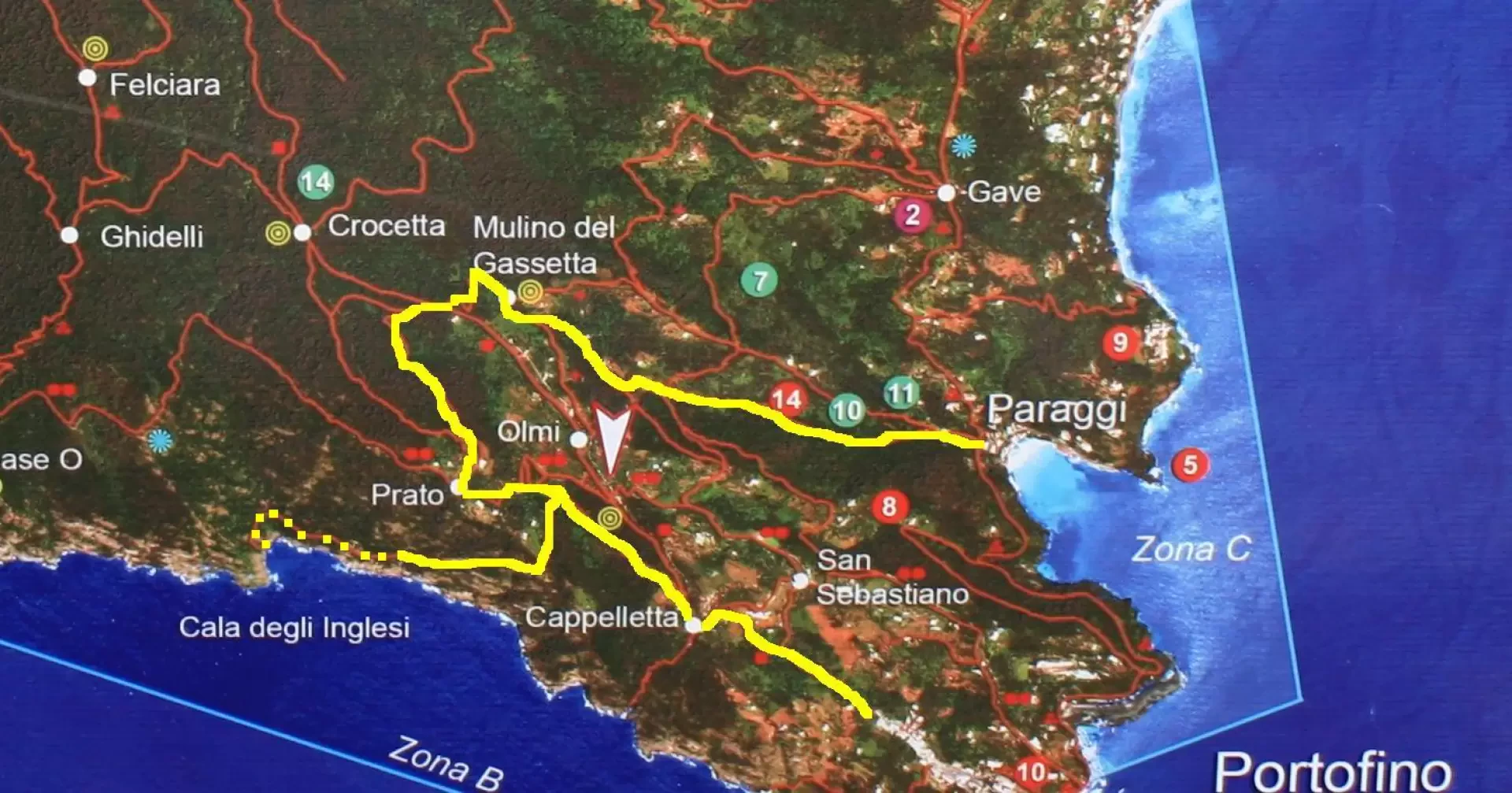
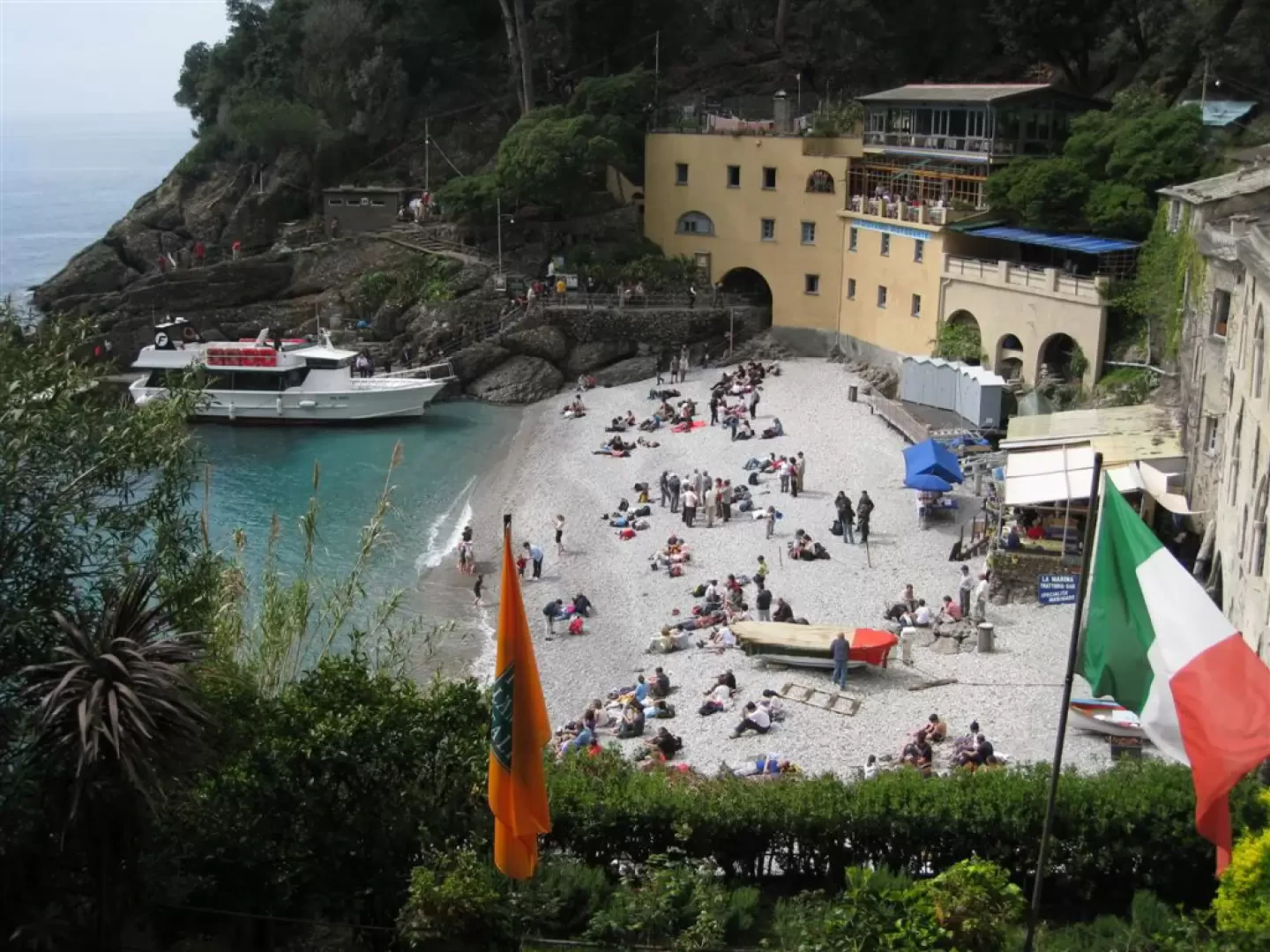
From Paraggi along the Valle di Mulini and towards the Cala degli Inglesi
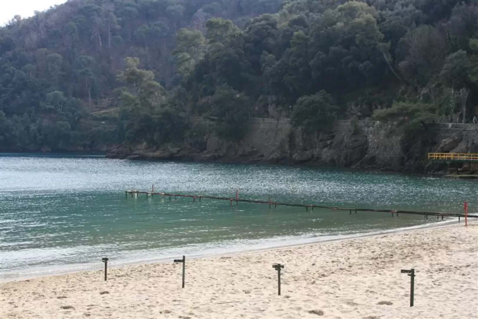
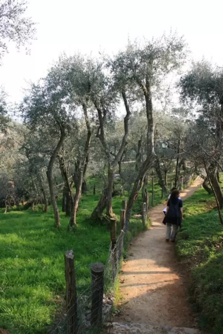
From the beautiful beach of Paraggi, there is the ascent along the Valle dei Mulini (start from the large car park, park panel)
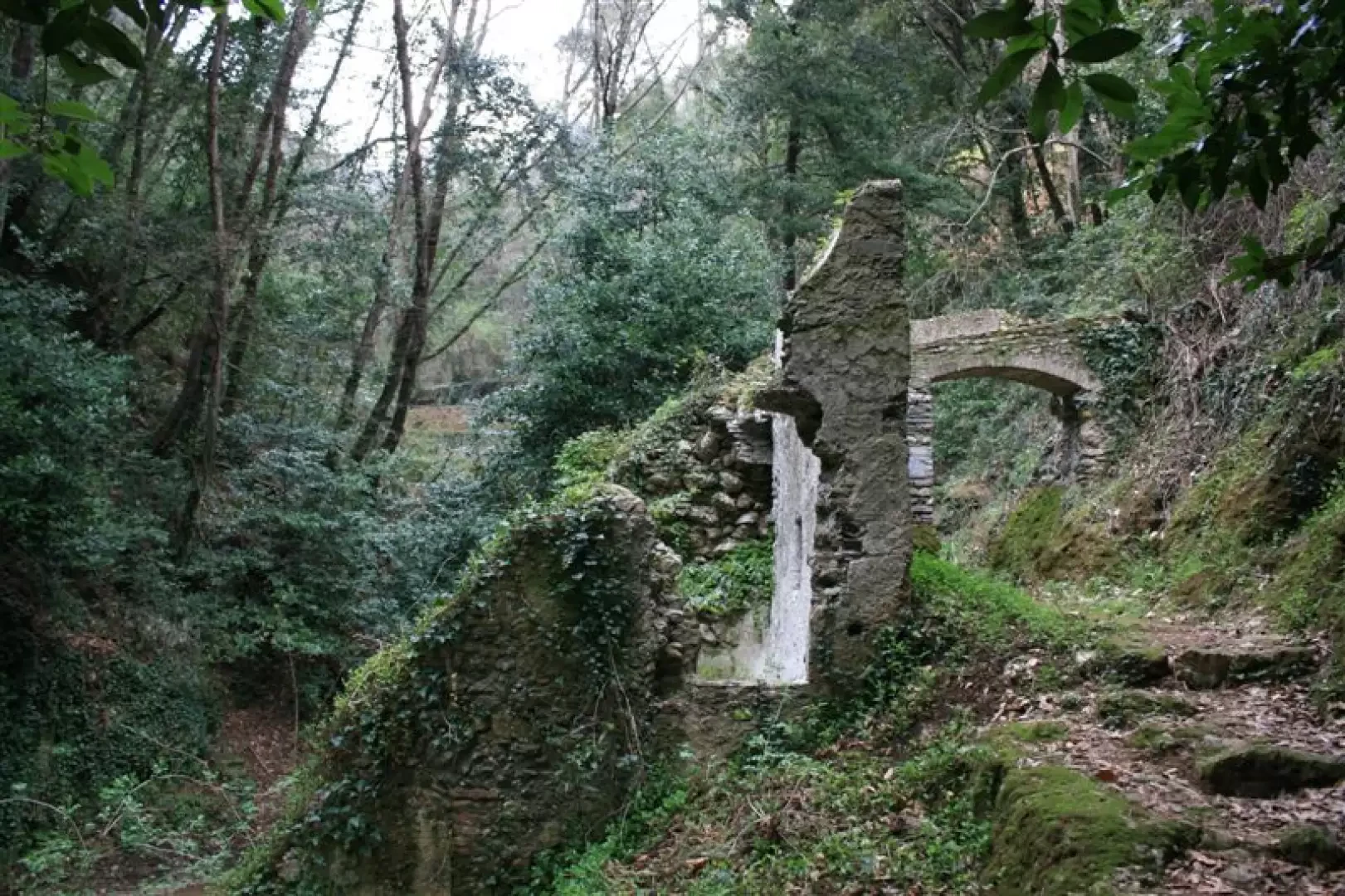
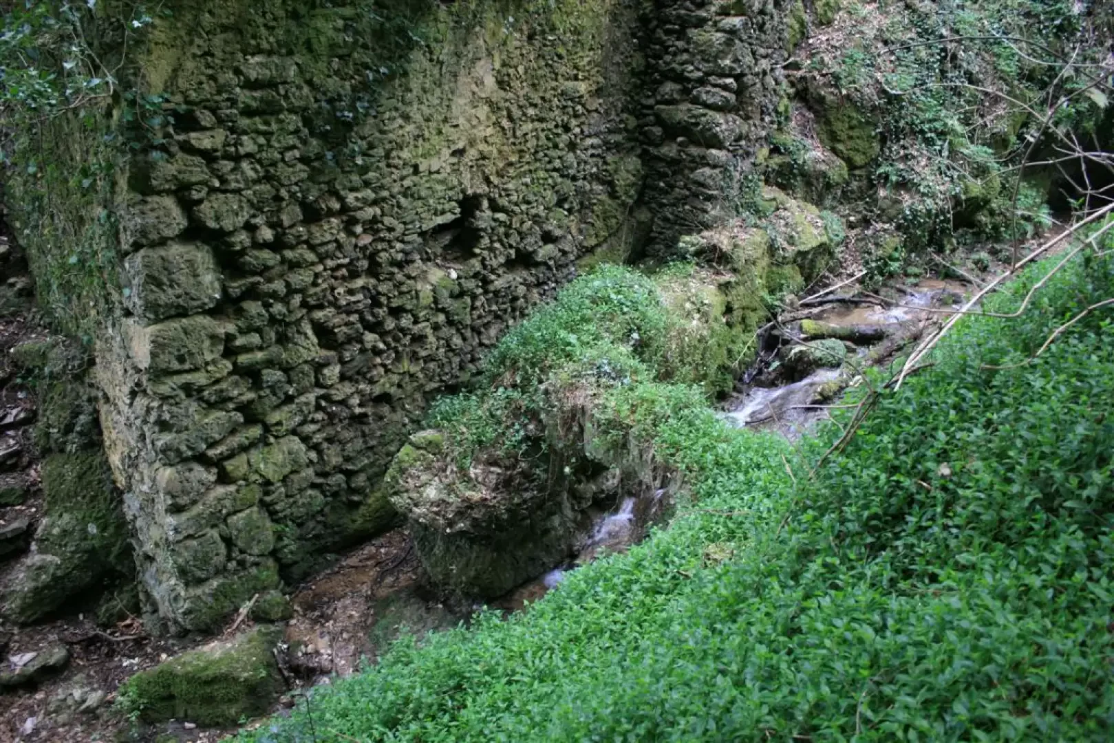
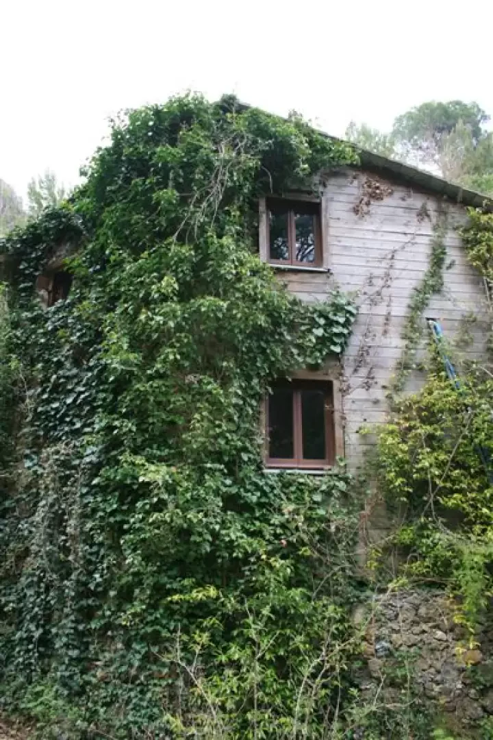
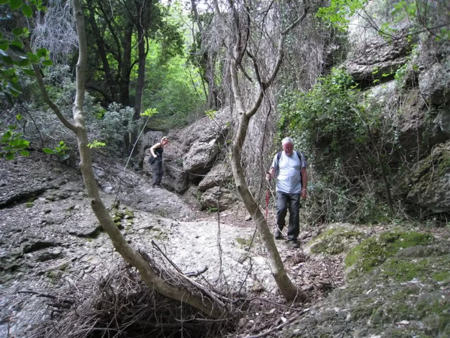
You will come across some ruins along the way as well as a felled tree with ... difficulty to climb over... on the left the obvious remains of a mill complex (the whole ascent although not signposted and accompanied by several park panels).
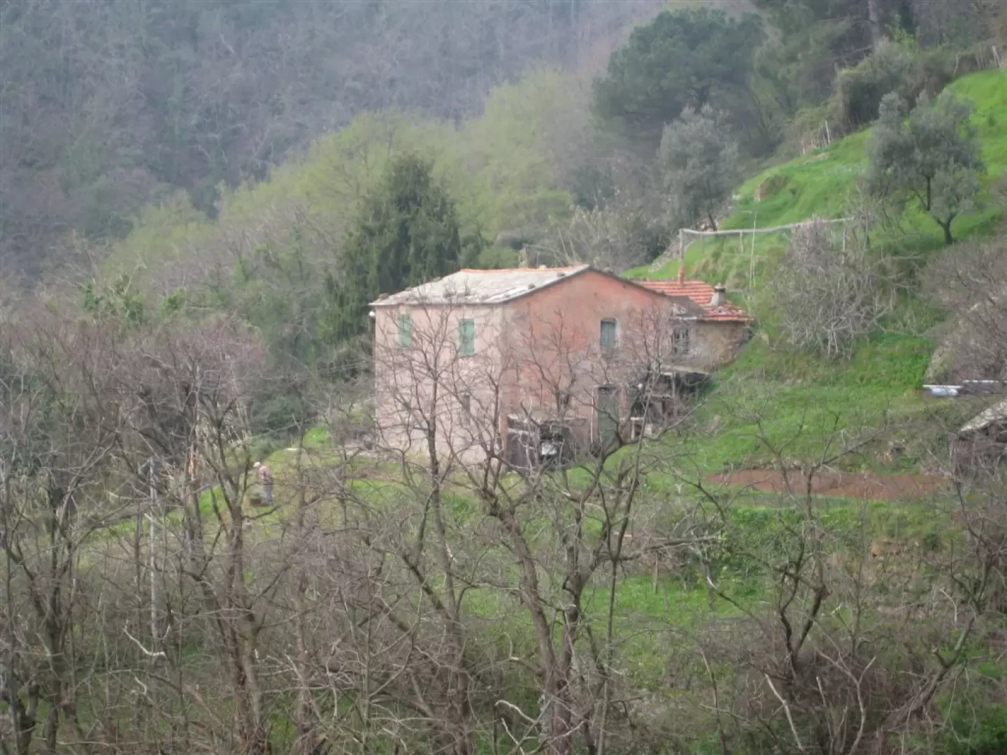
From the Gassetta mill (now restored and a park info point), climb up again without signs, until you reach the red square, then climb briefly again and then from the marker post no. 26 we descend towards Prato (no signpost).
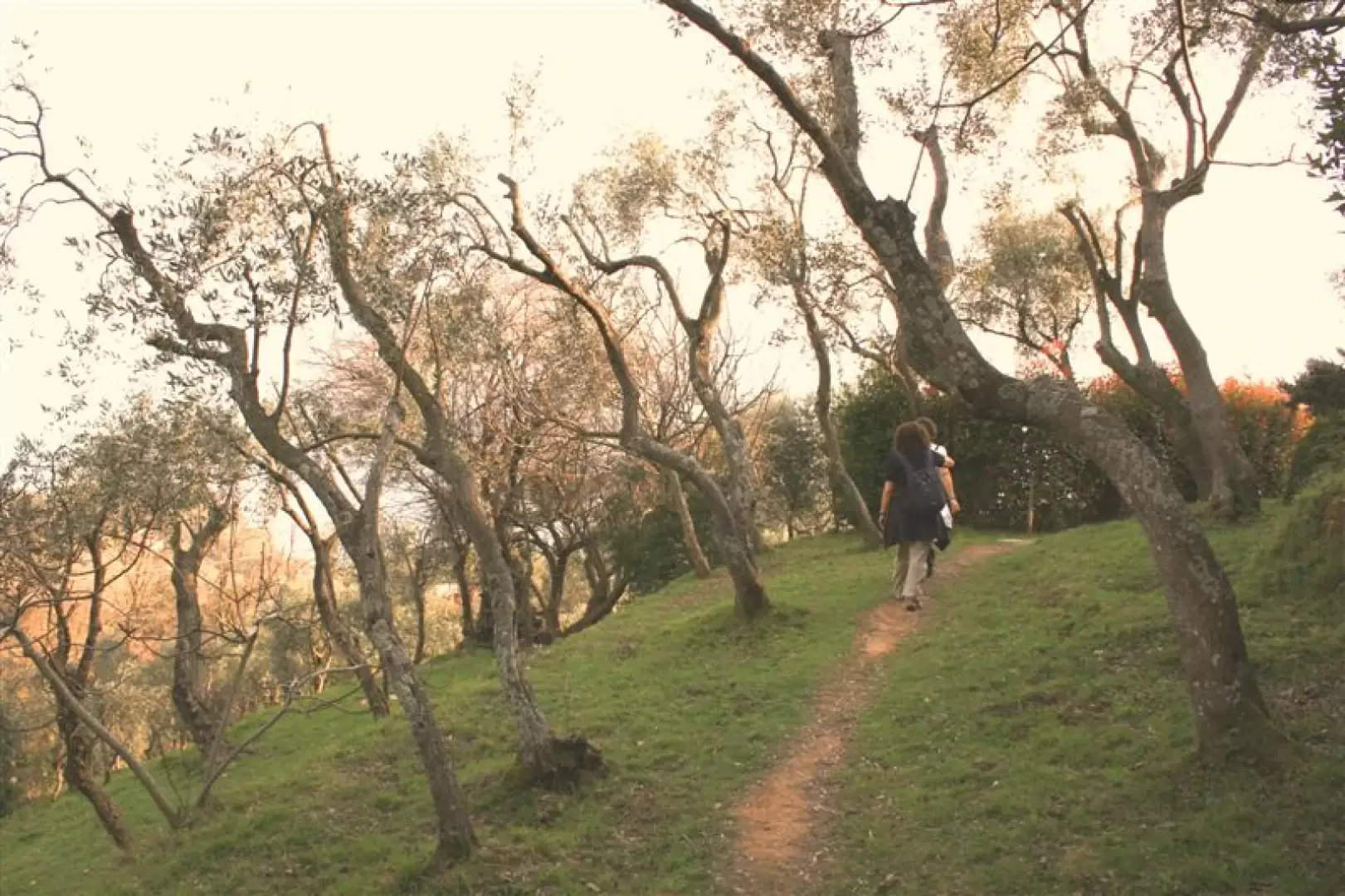
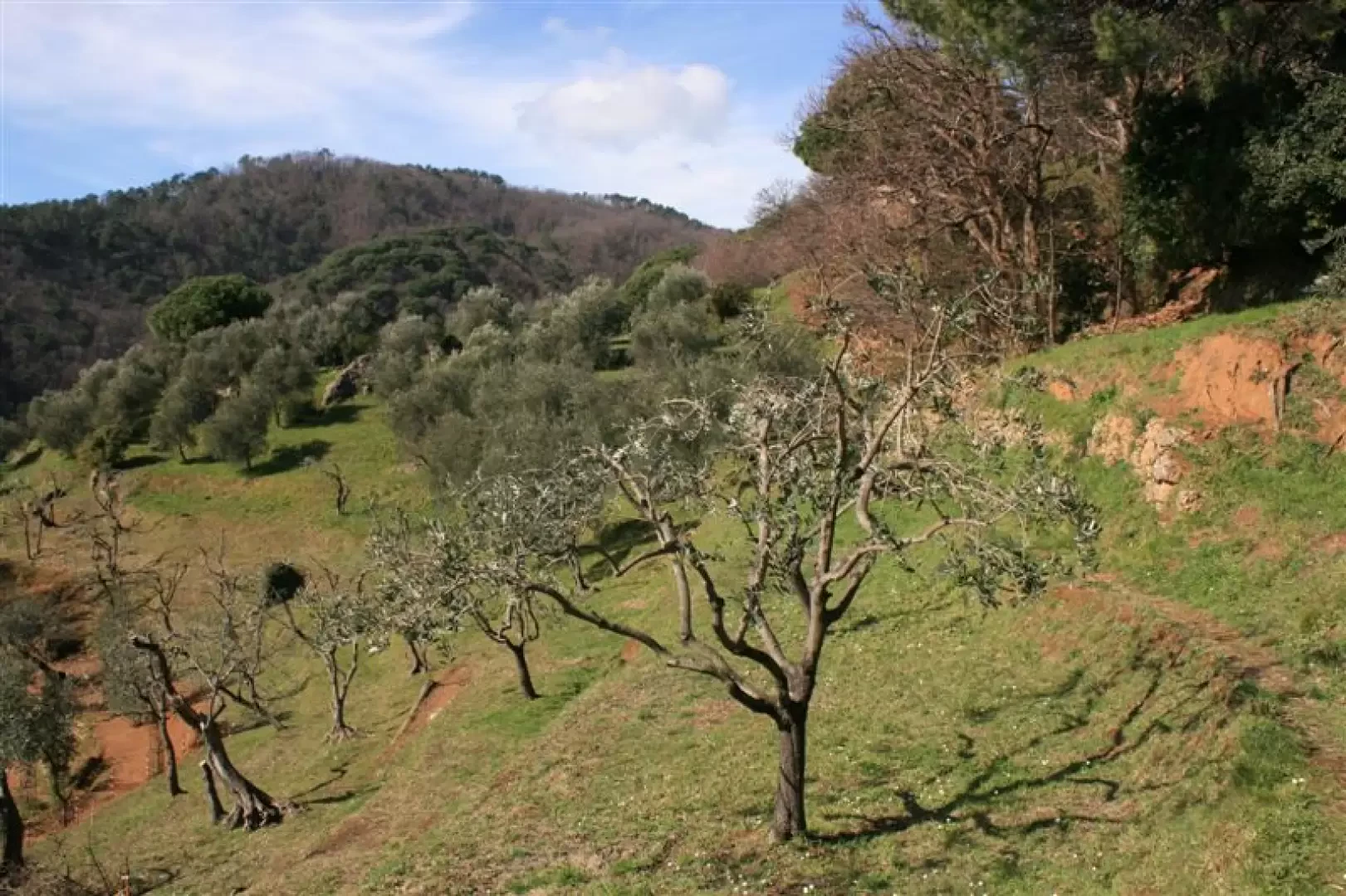
We come across some splendid cultivated terraces and then a brief diversions, for photos, on the path coming from S. Fruttuoso
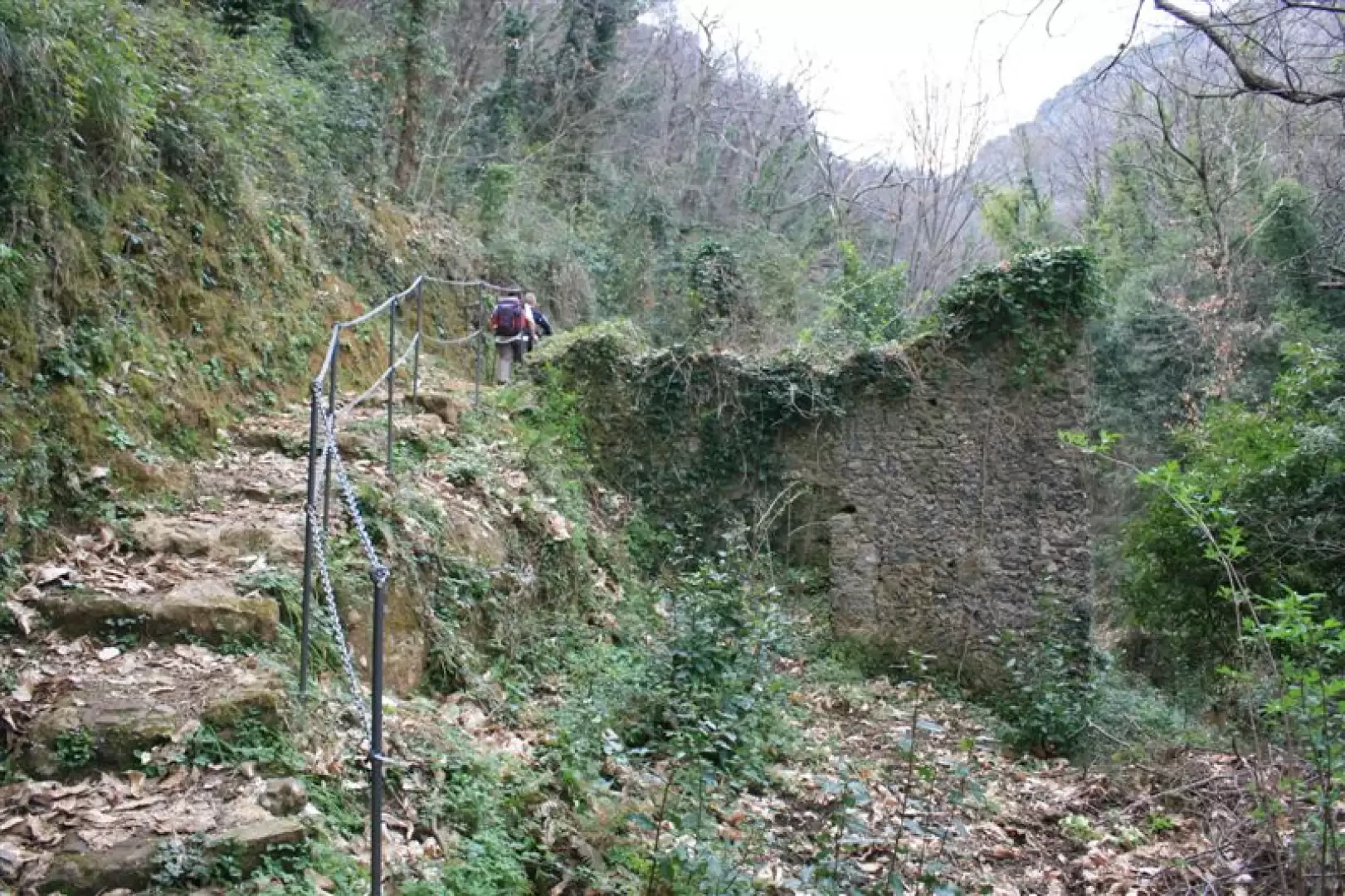
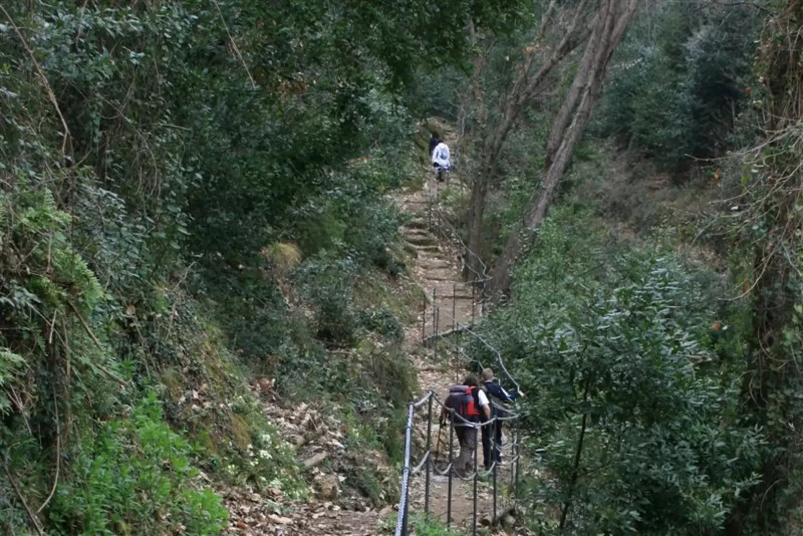
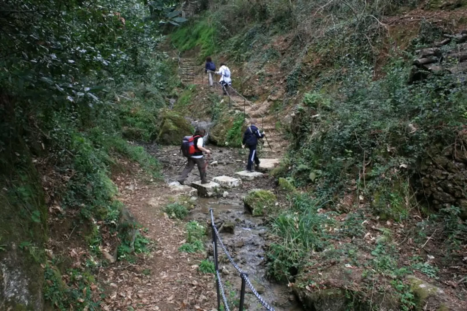
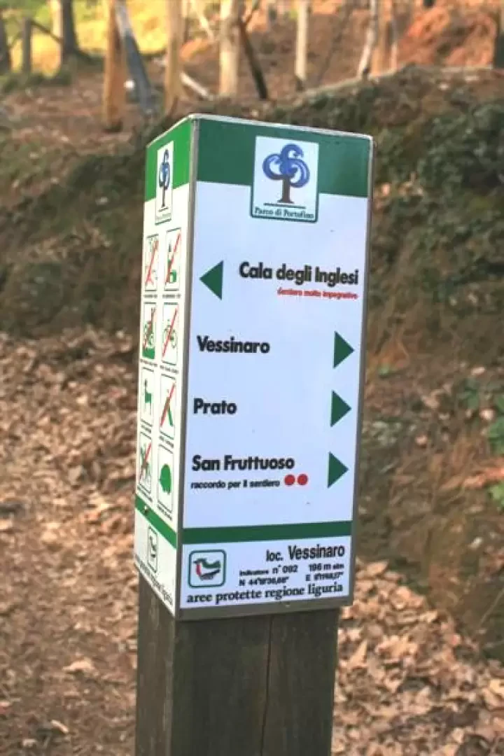
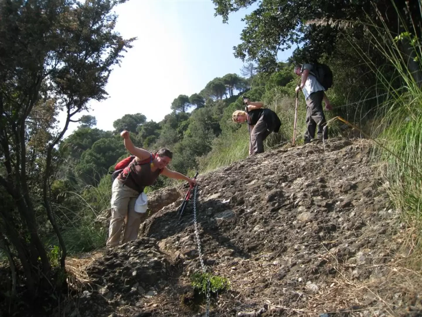
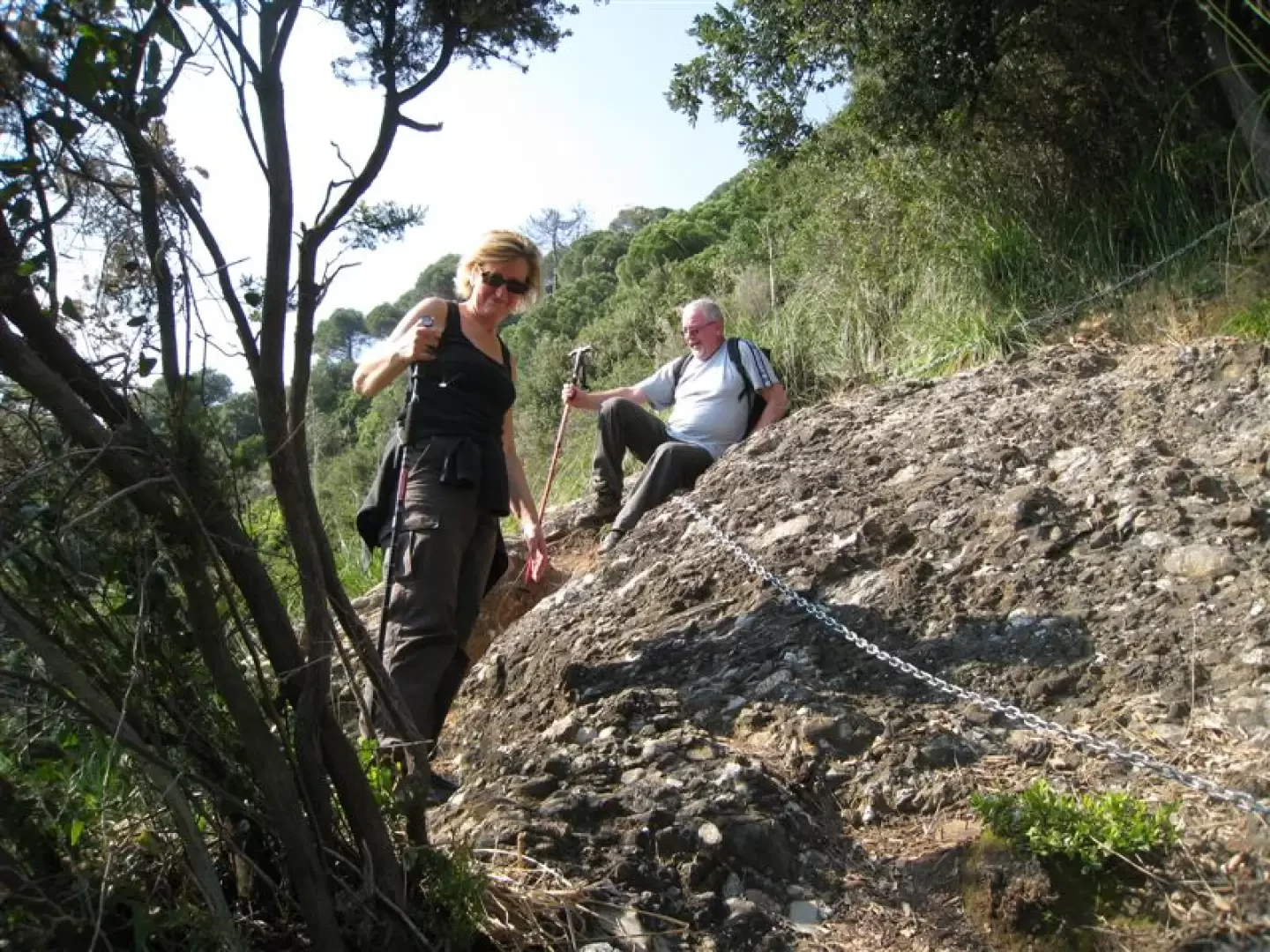
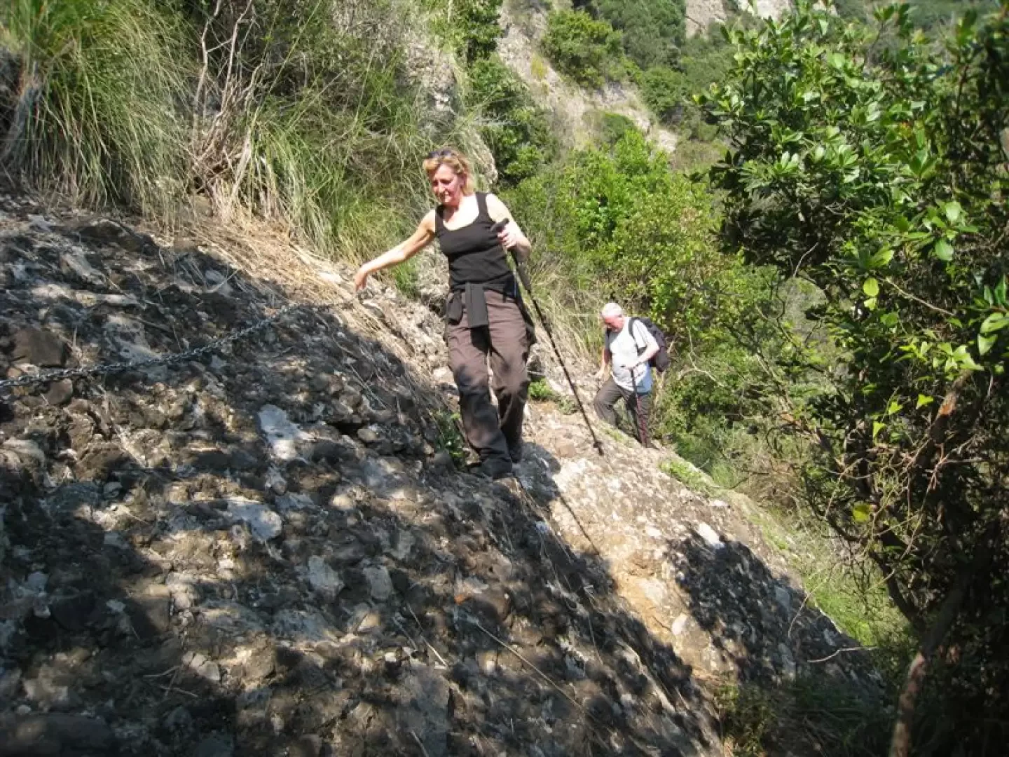
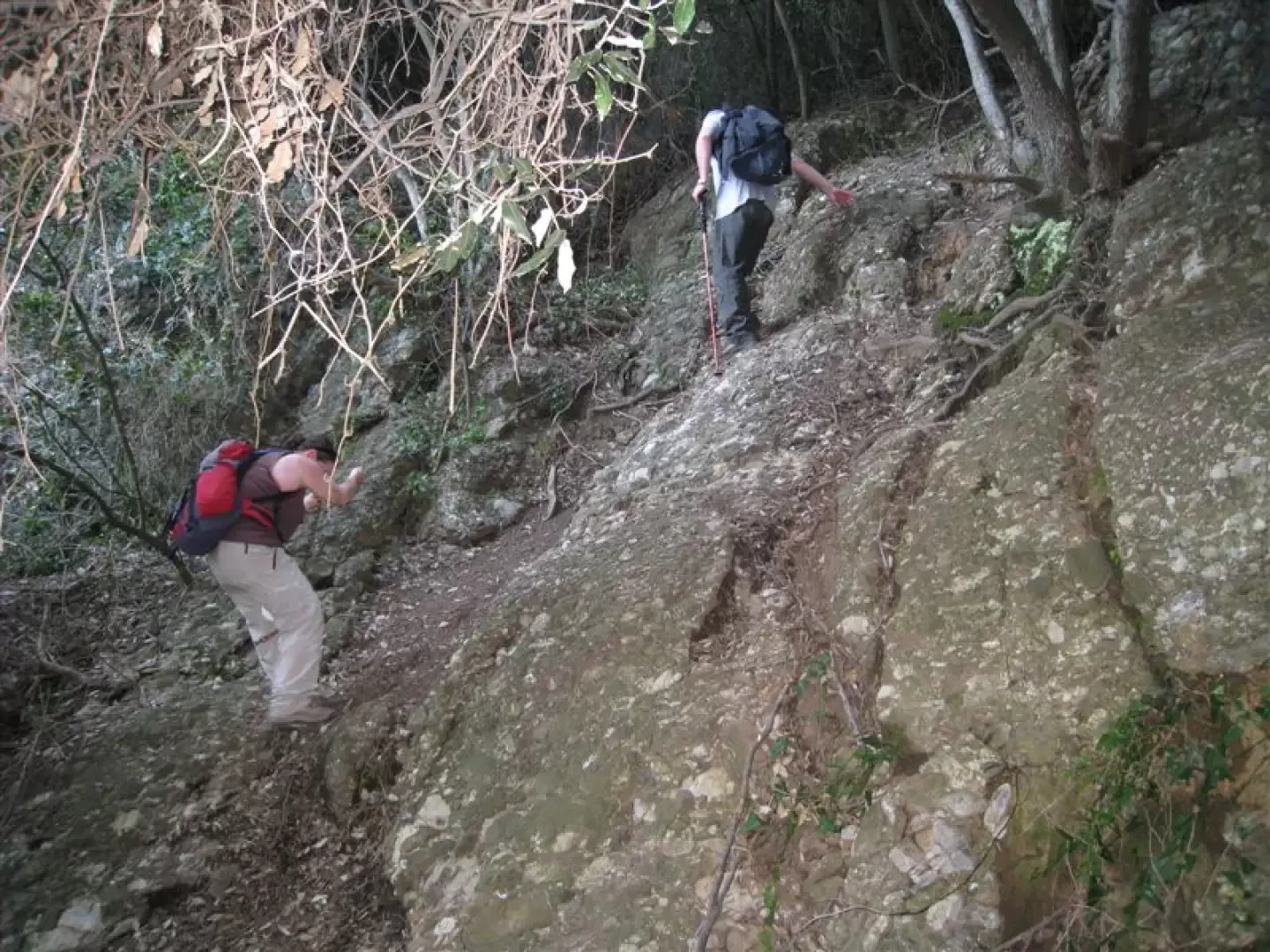
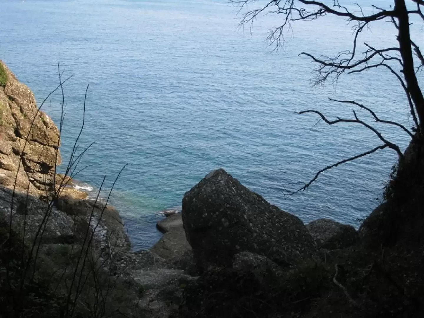
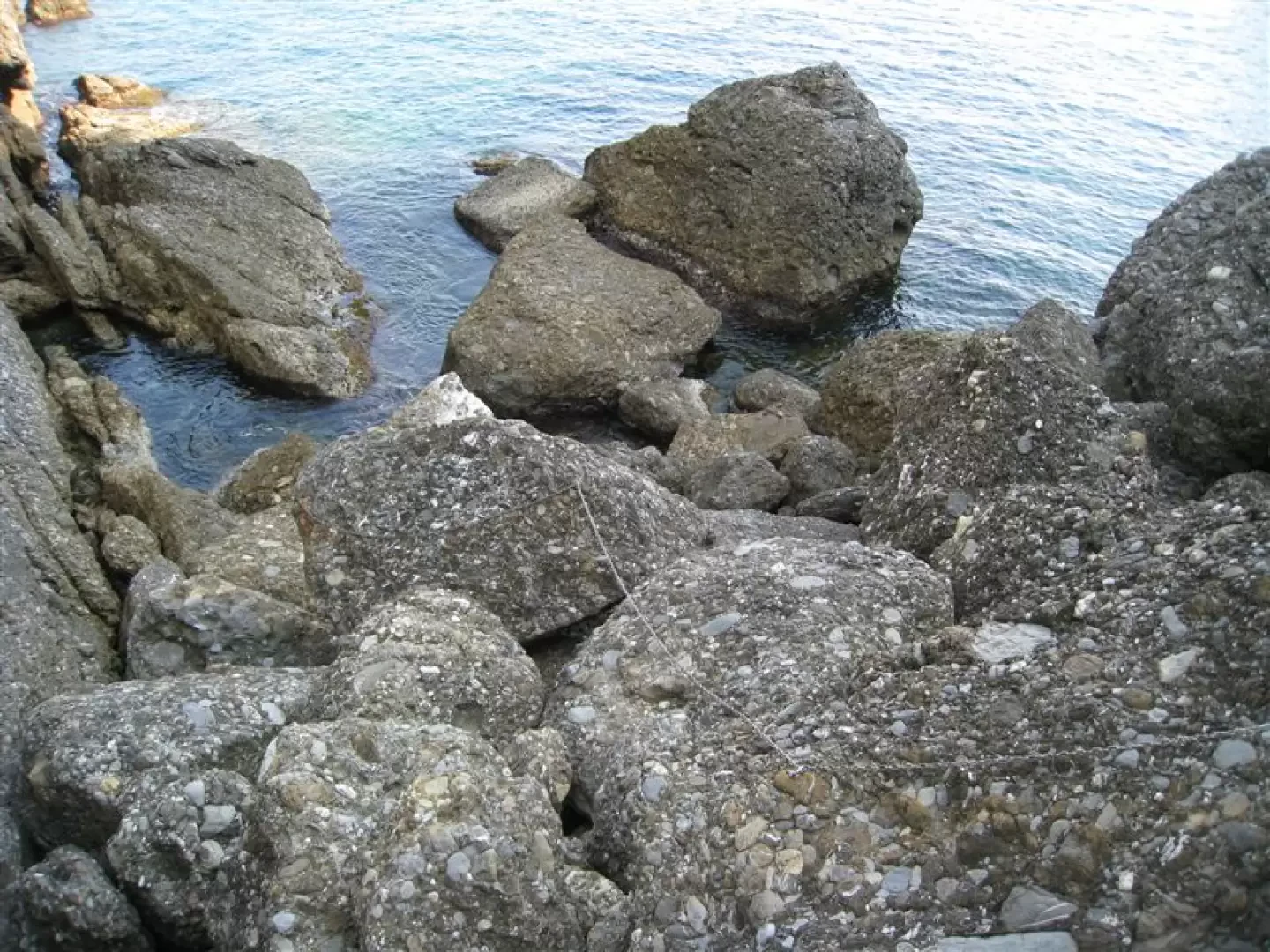
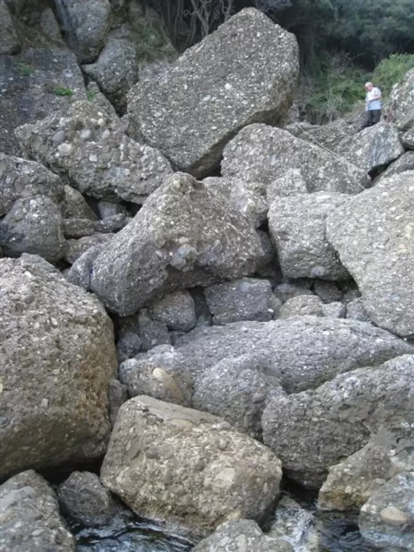
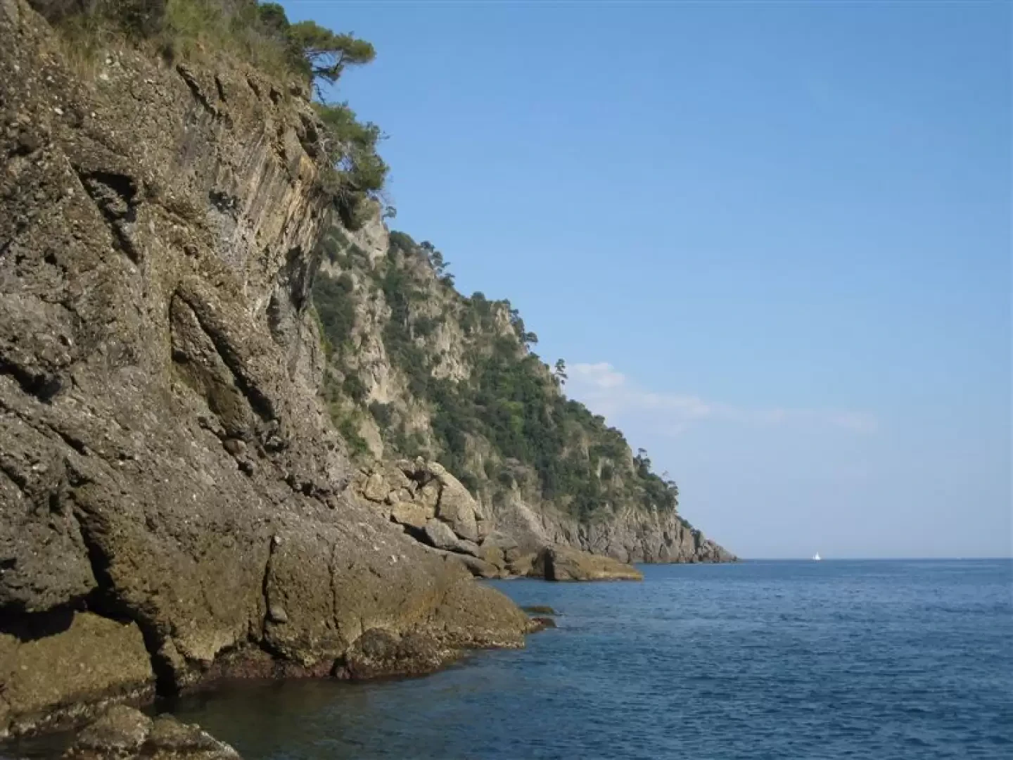
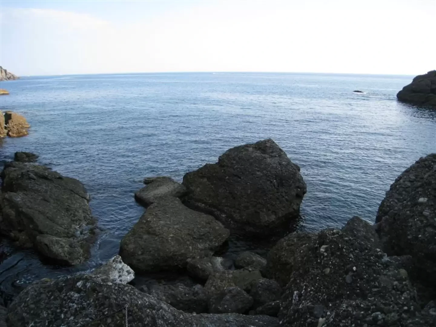
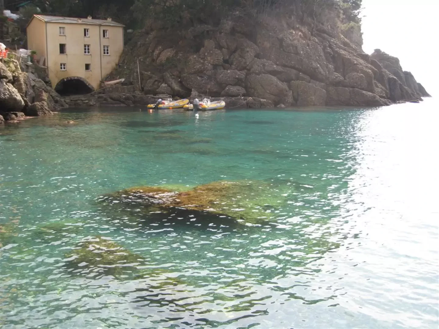
Descent (diff. EE) towards the cala degli Inglesi... from indicator post no. 92 (Loc. Vessinaro, 200 m asl); ). Initially easy but, from altitude 149, more demanding and to be tackled in dry weather. Chains help, both downhill and uphill, the more timorous.... to the conquest of a beautiful and wild cove! To be done with calm sea and dry weather
Short break, ascent and rapid descent from loc. Cappelletta towards Portofino.
Duration approx. 3h30-4h
Diff. T/E, except descent to cala degli Inglesi
Some photos at link
http://www.cralgalliera.altervista.org/vallemulini.pdf
For photos for cala degli inglesi also http://www.cralgalliera.altervista.org/calainglesi010.pdf
Itinerary 2
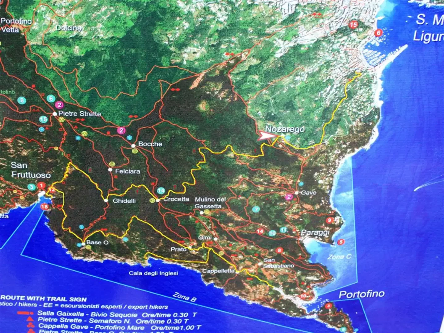
A ring-route on the mount of Portofino along new routes.
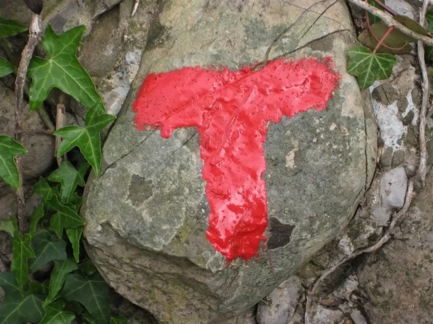
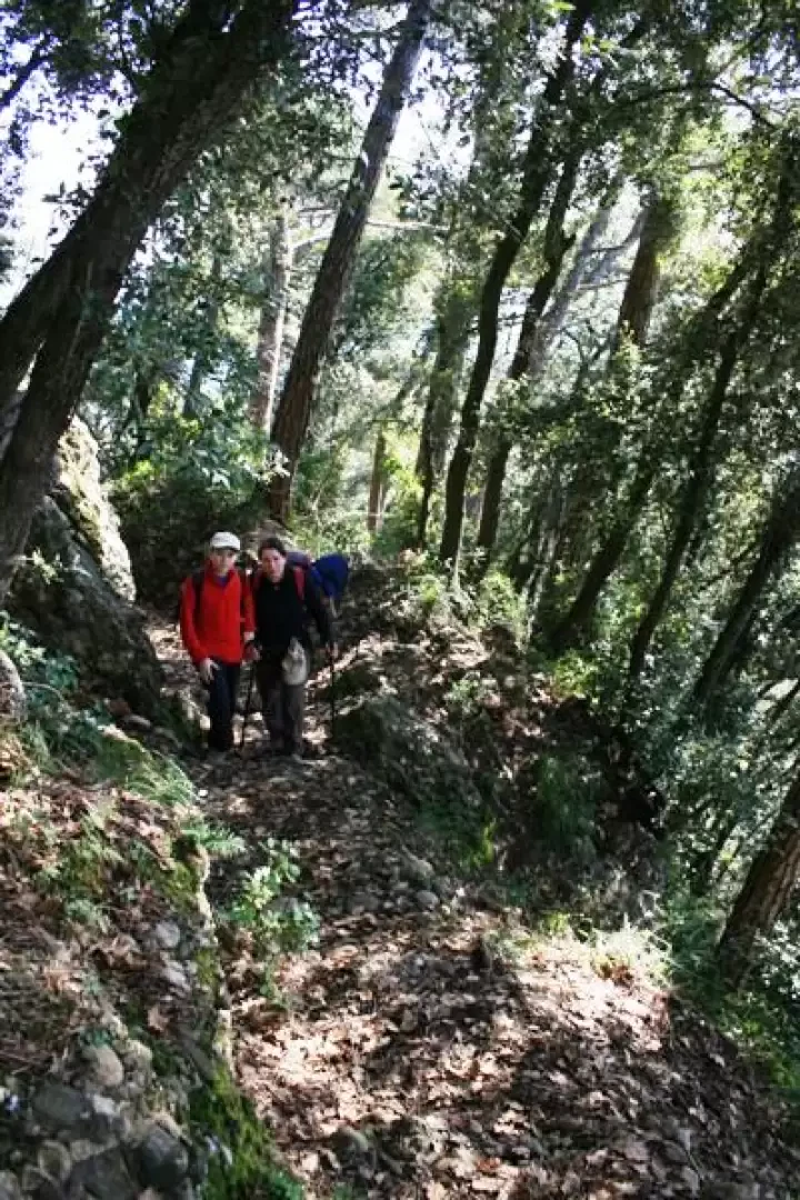
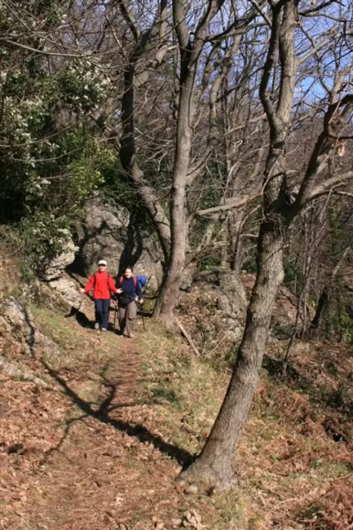
From Santa margherita you go up to the church of Nozarego (red cross and when you get to the asphalt road you follow via marinai d'Italia) you take the path recently well signposted and recovered by the FIE, marked with a red T, just behind the sacred building. The path follows the sinuosities of the terrain in a secluded area.
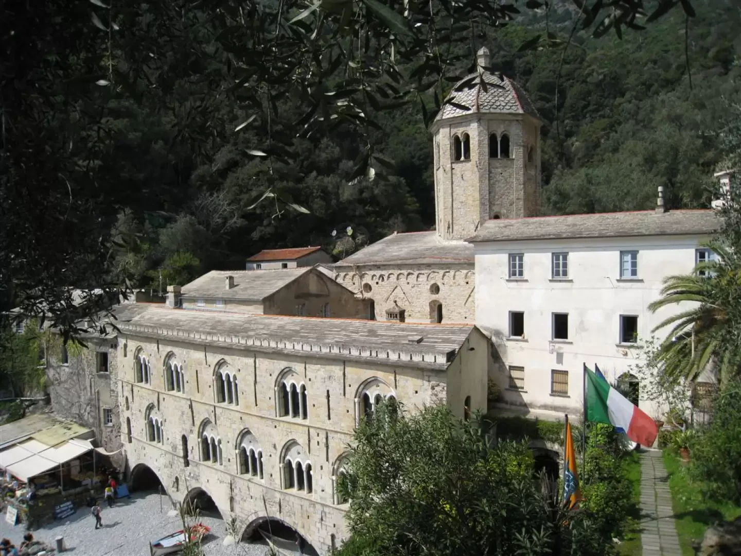
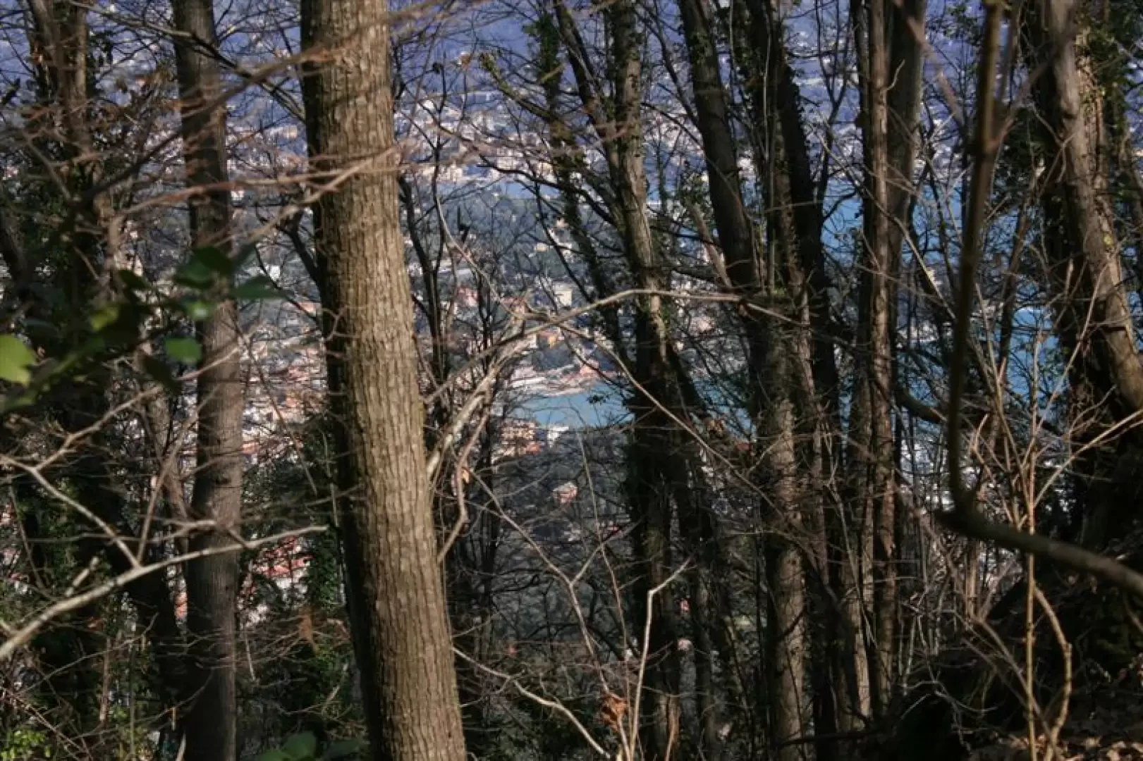
Several felled trees offer increasing difficulty until a last, difficult crossing just before the Crocetta locality. The new symbol then joins the empty red circle, just above the beautifully positioned Rifugio Molini. Thus, in a short time, one arrives at S.Fruttuoso. one can rest on the second, smaller beach, after which, given the interdiction of the first part of the path two red dots for Portofino, one returns to one's own steps and just above the Tower one uses the deviation (a signpost) that takes one back to the Fie path, beyond the unpassable section. After following this path for a long time, from Vessinaro, one can also choose to descend towards Cala degli Inglesi (see previous itinerary). Persevere, however, on the two red points (certainly crowded), and you will arrive in Portofino.
In summary (red signs):
3h-3h30 until S.Fruttuoso, 400 m difference in height (cross, asphalted road, T, empty circle)
1h30 S. Fruttuoso beach break.Fruttuoso
2h x Portofino, 250 m difference in altitude (two points)
1h15m diversions A/R to Cala degli Inglesi, 200 m difference in altitude (not signposted, but unequivocal)
Medium difficulty overall (more pronounced for Cala degli Inglesi)
photos
http://www.cralgalliera.altervista.org/nozarego.pdf
Trail route 3
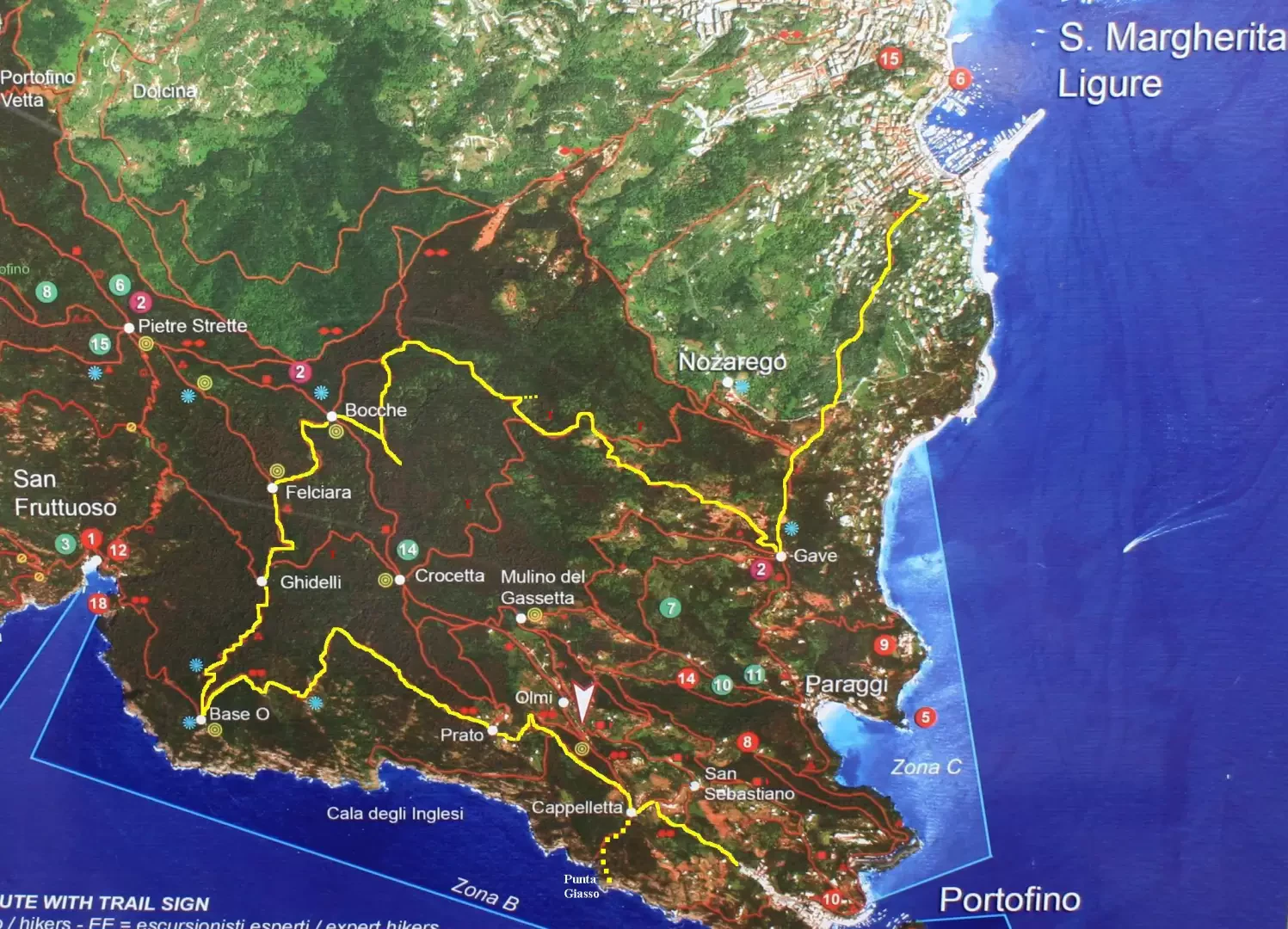
On the Portofino mountain on partly unmarked paths
Starting in Santa Margherita, always with the FIE red cross sign. After Gave, you leave the Fie path, following the signs of pylon No. 44 for Monte Croce di Nozarego and Monte Pollone and continue unmarked with a little attention always on the main path.
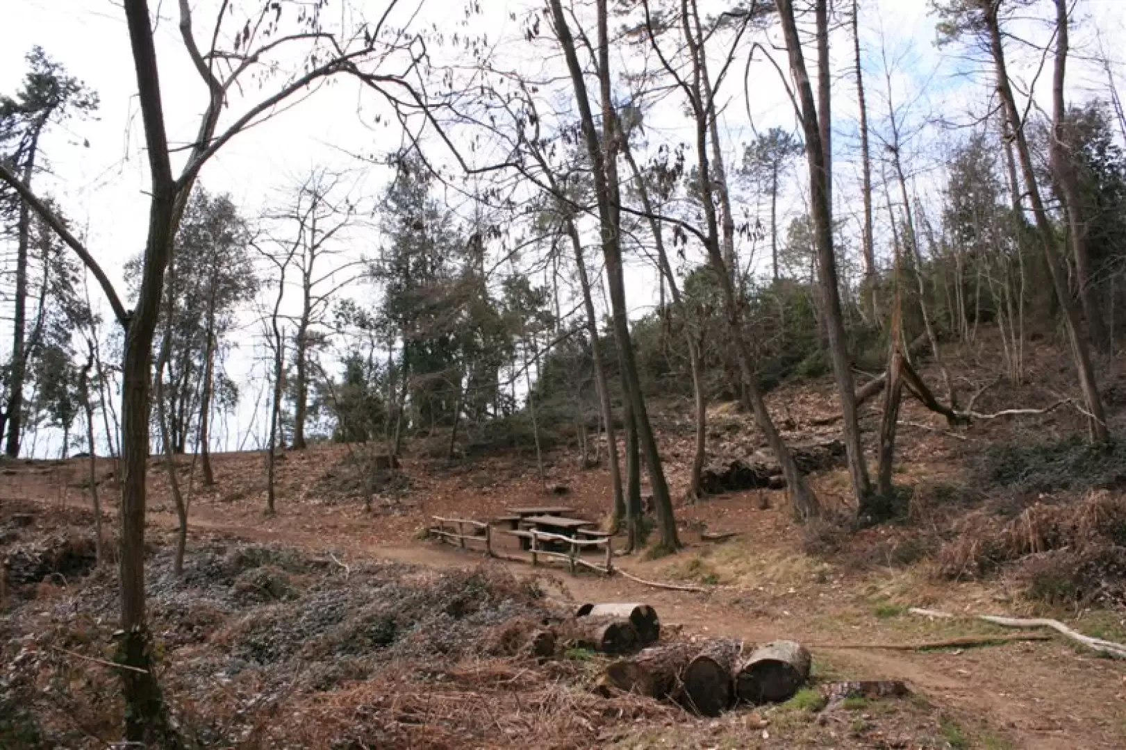
Further on, briefly, you make a stretch in common with the red T. We persevere until we cross the red square at the locality le bocche di San Lorenzo (bench) where we continue without symbols to Felciara. When you reach this last locality you descend with the three red dots to base 0 and then with the busy two red roundels towards Portofino
From the locality Cappelletta, on the right, there is a deviation that leads to Punta del Giasso (the last metres are demanding attention - variant +1h on the route and + 200 m of ascent)
Basic data: 5h, 500 m asl, diff E, red cross, unmarked paths, three red balls, your red rounds.
photos
http://www.cralgalliera.altervista.org/Portofino010.pdf
To conclude, please note that at the link below, you will find a short article on the Portofino mountain (3 pages) which appeared in "Escursionismo", the FIE magazine, in its December issue
http://xoomer.virgilio.it/escursionismogalliera/articoli/escursionismodi...
NB: In the event of an excursion, always check with the park authority, FIE, Cai, etc. that there have been no changes that have increased the difficulty!
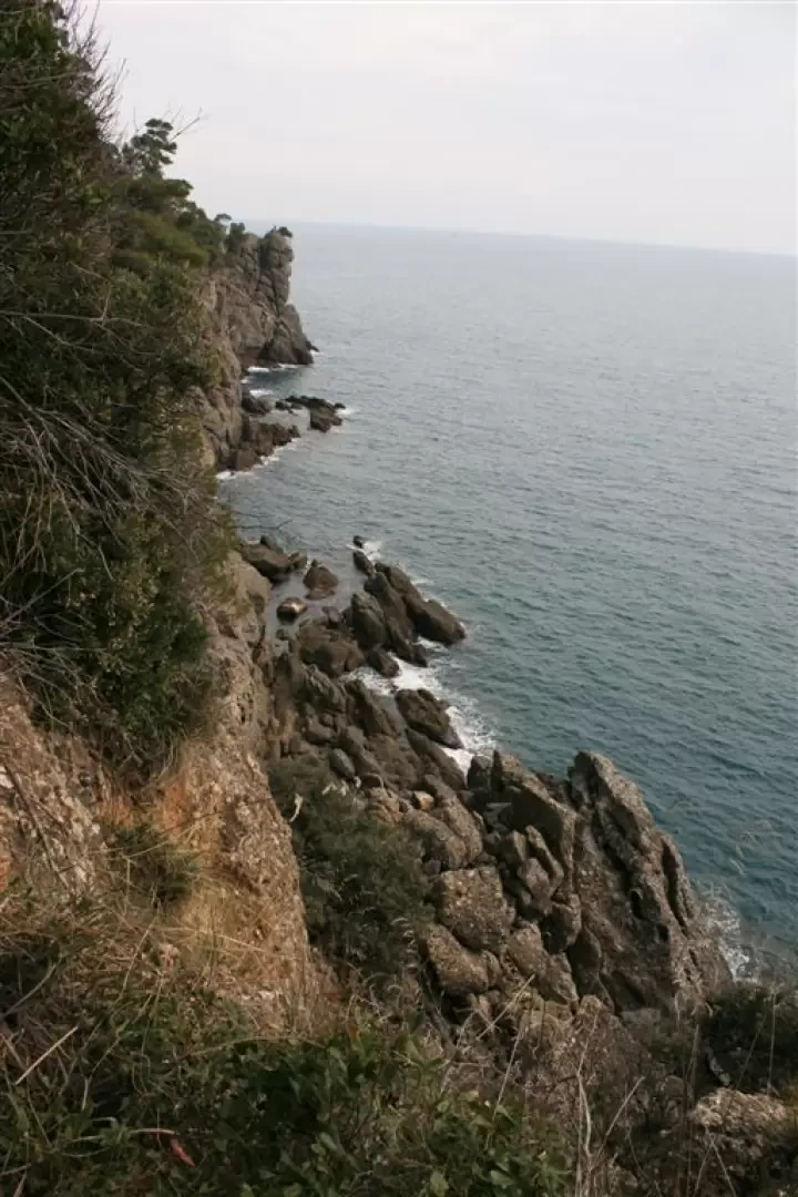
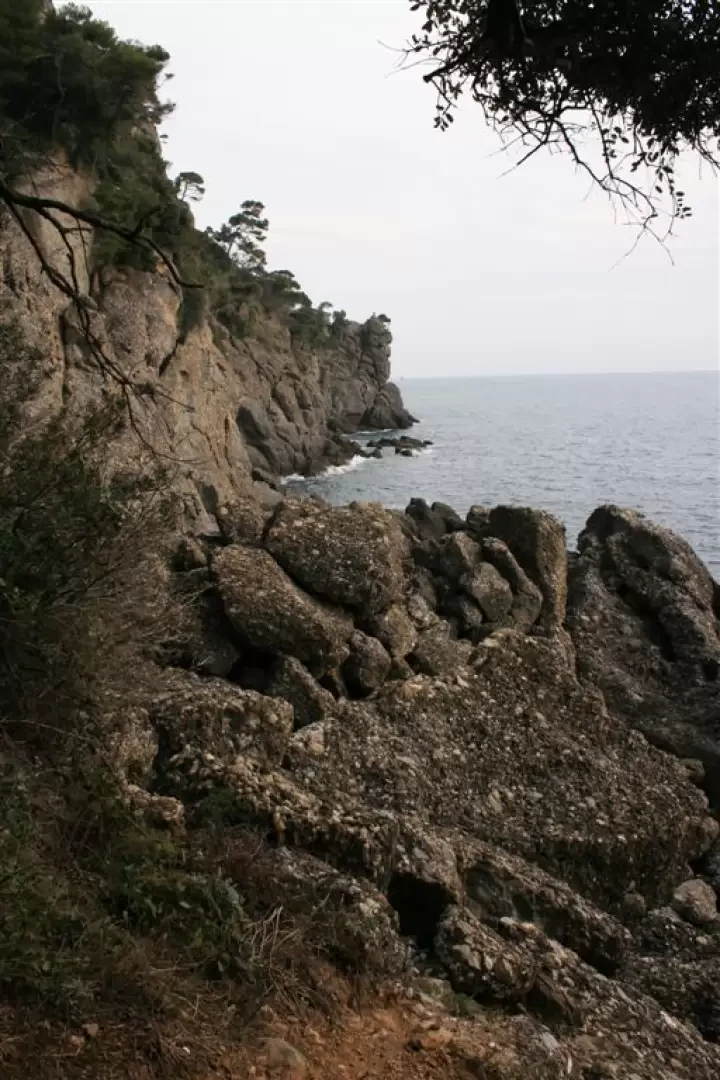
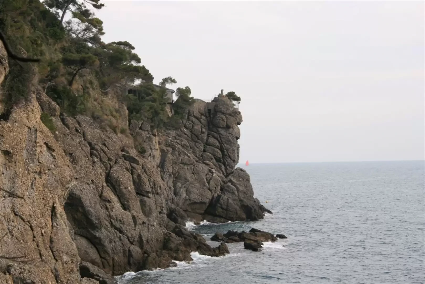
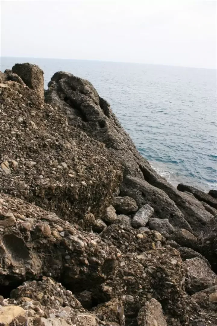
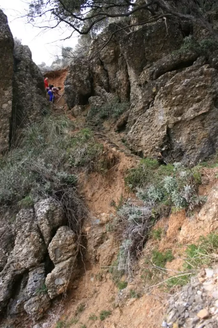
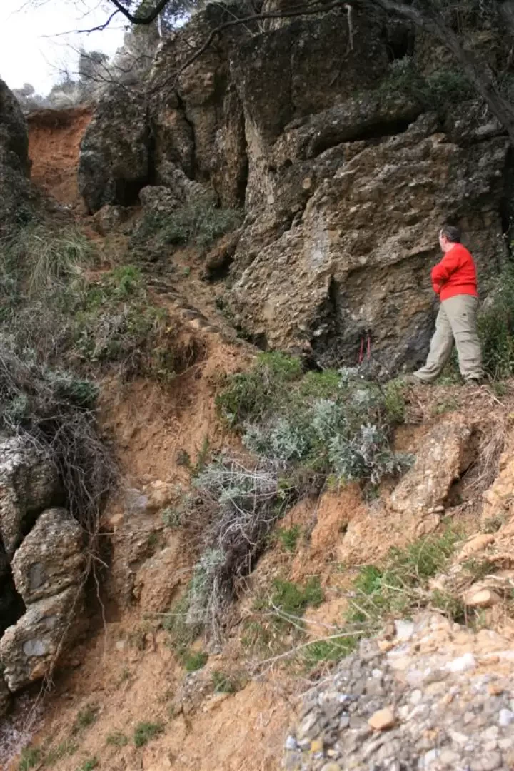
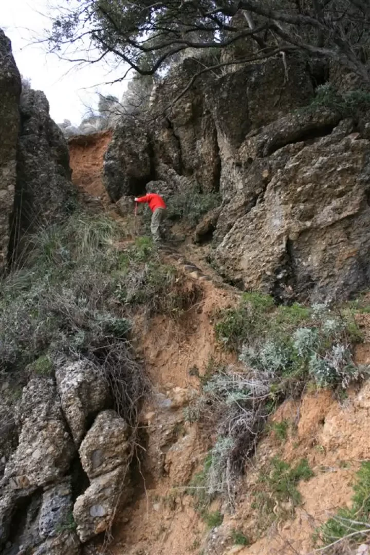
Photo gallery

Comments (0)
Sign in to leave a comment