Coppo Pass, from Ponte del Guat

Access
The natural starting point for the Miller Valley is the Ponte del Guat locality which is located at the bottom of the Val Malga valley in the municipality of Sonico.
You can reach Ponte del Guat:
- From the hamlet of Rino di Sonico; follow the road for Garda until you reach the locality; four roads; then turn left; the road is a little narrow but all asphalted: after about 8 km you reach Ponte del Guat where you will find a place to park.
- If you are coming from the lower Valcamonica, (state road 42 del Tonale) it is best to reach Malonno, then turn right at the crossroads before the hump, for Zazza, continue on to Garda, until the; four roads, where you proceed straight on to Val Malga.
You can park your vehicle at Ponte del Guat; the problem of parking only arises in the middle of August, for the rest of the year it is easy to find a parking space as there is room for several dozen vehicles.
.Introduction
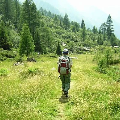
A hike that includes the ascent, up to the summit watershed, of the Miller valley towards the Salarno valley; given the altitude excursion, it is possible to observe the complex vegetation variation depending on altitude and exposure: from mixed deciduous and coniferous forests, to herbaceous ecosystems of pastureland and low shrublands, to alpine cliffs and screes.
Description
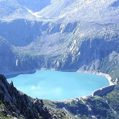
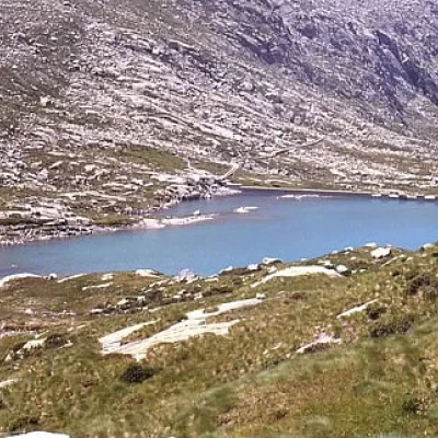
In the first stretch (a quarter of an hour's walk) there is a dirt road, which can also be travelled by car in a few minutes if you want to use the pay car park at malga Premassone (1585 m) where, in the summer months, a new restaurant-refuge is open, selling excellent local malga products. You then cross the Remulo stream following the dirt road, and continue along it until you return to the left orographic bank; at this point the dirt road ends and the old mule track begins. Continue along the mule track, amidst vegetation, including tall trees; in about a quarter of an hour, you will reach malga Frino, where there are some malga huts that are now almost in ruins. Here there are the most famous trees of the Val Malga: a dozen or so specimens of spruce, among the oldest and most spectacular, considered regional monuments and placed a few metres from the huts, almost marking the final limit of the high-trunk vegetation; a little further on is an enormous erratic boulder on which a Marian statue has been placed. At malga Frino the mule track also ends and we continue along a narrow path, fairly easy and visible, except for a few stretches where, after the floods of 1987, it intersects with the torrent; it is, however, well signposted. After about ten minutes' walk, the path leaves the stream on the left and climbs up the slope to our right: this is the new section traced out after the July-August 1987 floods; it climbs quite steeply at first, then, after a few hairpin bends, it shifts to the left with a flat section, and when it begins to climb again it finally joins up with the old track. It then resumes its ascent decisively on the track known as "the Miller stairs", through steep and repeated hairpin bends in the all-steep path, set between the spur bordering the stream and the steep rock on our right. The path continues in this manner until we reach the top of the glacial step, at an altitude of about 2000 m; at this point we suddenly come out into the less steep part of the Miller valley; we continue on the edge of the step, where the stream flows below, keeping to the bumps and mounded rocks. A little further on we meet, on our right, a large wooden crucifix; continuing on we reach the fork in the path leading to the Coppo pass, to malga Casentia di Saviore, (path sign no. 86) or, descending immediately after the pass, to malga Macesso di sopra in the Salarno valley. At this junction, we continue to our right along path no. 86, which in the first section is not always well signposted and visible; we climb up the slope, first diagonally towards the valley, then follow the base of the rocky spur that descends towards the Miller steps. At the beginning of the glacial step, turn right; the path is quite visible at this point, goes over a modest watershed, beyond which there is a panoramic view of the whole of the Malga valley, then climbs the steepest slope, and then, deviating to the left, passes below the peak of Coppo and heads towards the pass. The view over the Salarno valley, from the basin of Lake Gana to that of Lake Bos, makes up for the effort made to reach the pass.


