Pas du Chamois, from Ruz


Edited by:
Benedetto Lorusso
Updated at: 25/10/2025
Access
Leaving the motorway at the Aosta Est barrier, turn right and take the dual carriageway to follow for 8.4 kilometres. At Signayes, turn right onto the regional road following the signs for Bionaz/Laravoire. Pass a roundabout and continue on the regional road along the entire length of Valpelline. Pass through the villages of Valpelline and Oyace until, after about 27 kilometres, you reach the hamlet of Dzovennoz. Turn left, following the signs for Chez Leo Merloz Ru, Ley Cretes. Go up the little communal road for 1.3 kilometres until you reach the free car park 🅿️ before the village of Ru.
[0h39'] - [29.2km
How to get there with GMaps
How to get there with Apple Maps
The directions given here were verified on the date of the route survey. Before setting off, it is advisable to ensure that no substantial changes have occurred on the route to the starting point. We therefore recommend the use of the satellite navigation apps provided by Google or Apple for up-to-date and detailed directions.
Introduction
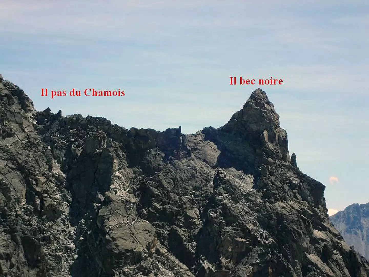
Pas du Chamois from the comb of Crête Sèche. The altitudes given in the volume Alpi Pennine I of the Guidebook of the Pas (3015m) and surrounding summits are incorrect.
.Description
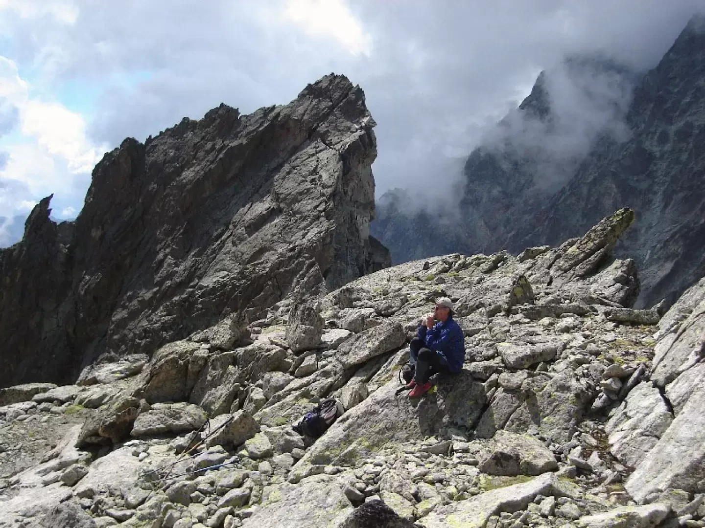
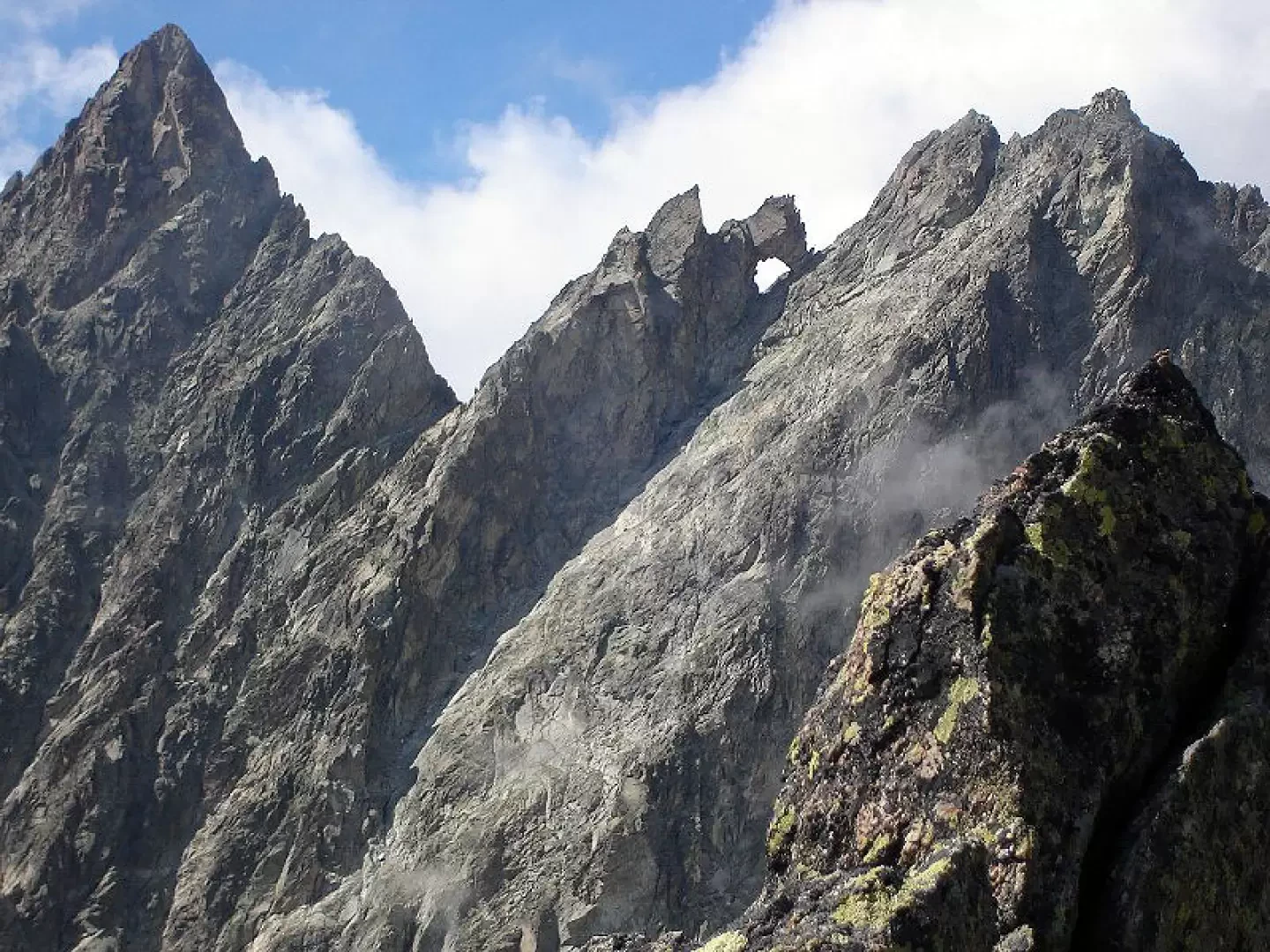
From Ruz, a hamlet of Bionaz, to the Crête Sèche refuge and the Spataro bivouac. Leaving Plan de la Sabbla on the right, go up the detrital gully that leads to the Aroletta col to an altitude of about 2780m. when the ridge coming from the lower Aroletta on the right that limits the gully becomes more broken and can be crossed on a ledge (cairns) that leads into the valley dominated to the west by the lower Aroletta, the Bozzetti peak and Bec Noir. Climb up the valley to the base of the walls, then turn right to reach the wall (about 90m high) that defends the access to the pass. This wall can be climbed in several places. We climbed to the left through gullies, crags and slabs to reach the ridge at the base of Bec Noir. A few metres further north is the Pas with the terrace called the Fauteuil de l'Aroletta by Abbé Henry. On the descent, the only obligatory point is the ledge that leads back to the col de l'Aroletta gully. It is located (cairns, rocky beak visible from above) where the slope ceases to be such and becomes the precipice that plunges down to the Plan de la Sabbla. Photo gallery
Photo gallery
Comments (0)
Sign in to leave a comment