Breggia Park

Edited by:
UpTheHill
Introduction
Delightful family excursion, in summer there must be a nice coolness, both at the pond and along the gorges. The vegetation showed the first hints of spring, and we found some beautiful flowers already in bloom. The whole area is very well maintained, the paths are well-maintained and can be walked in low hiking boots. There are also one or two biotopes, and you can probably ask for a guide for the tour. Possible variation: summer walk in the mid-to-late afternoon (at a good pace you can do the tour in an hour and a half), then dinner at the Ghitello mill restaurant (I have not tried it, I think you need to reserve as it did not seem to have much room).
Description
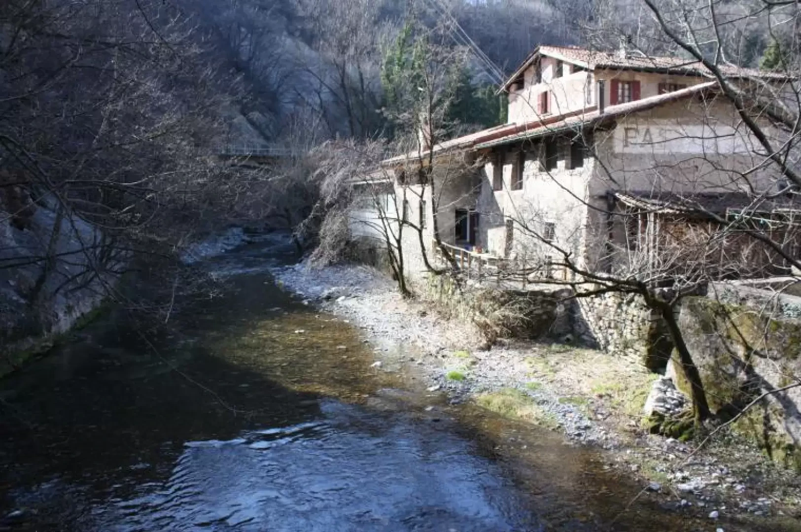
Disperate at the umpteenth impossibility of climbing the Bovarina, but with the announcement of a splendid day in terms of weather, I decide with Rita to finally put on the programme to tour the Breggia Park. This park was created in the gorges carved by the Breggia river as it descends from Castel San Pietro / Morbio Superiore towards Balerna. The gorges expose the various sedimentary layers that characterised the formation of the Alps over a geological period of about 200 million years, with the oldest part at the bottom and the youngest at the top. The route is suitable for families and school groups, and before we set off I printed out the map. We also invited Lara, Marco, Ivan and Alice, with whom we had climbed to the summit of Gaggio in August 2008. Zara (our dog) is also invited, as the tour is reasonably short due to her dysplasia, but we inform her that she would have to be on a leash the whole way. We park at the 'Centro Breggia', near the Serfontana, from where one of the access paths to the park starts. We almost immediately find ourselves at the Mulino del Ghitello, where the park administration is based, and there is also a small restaurant (closed, since we were arriving...). The path winds alternately along the left and right banks of the Breggia, passing by the small Ghitello lake (delightful), then the former brewery, to arrive on the level at the former Saceba cement factory (now Holcim). Along the entire route there are various signs explaining the various rocky outcrops visible both above (towards Castel San Pietro and Morbio Superiore) and at river level, whose waters are a splendid emerald colour. After the cement factory, you come to the Punta de la Ciüsa, where the Breggia forms a small waterfall. After crossing yet another bridge, the path splits in two: to the right we climb up towards Morbio Superiore, to the left we take the "Sentiero del '700", a road that was used to climb up towards the Muggio Valley. The loop is circular, and we decide for the right. Here the path is almost cantilevered into the gorge, and children must be held by the hand. Once past this point, we return to the other side, where there is a resting place and a fountain suitable for our four-legged friends. Continue further uphill to reach the culmination, just below the village of Morbio Superiore, a culmination from which you can clearly see the Castello bridge that joins the two villages above. From here the path descends gently on the other side, leading to the little red church of Castel San Pietro, built on a small plateau from which there is a beautiful view of the entire Mendrisiotto area, and access to the Muggio Valley. The descent is along the "Sentiero del '700" (18th century footpath), which shortly takes you back to Punta de la Ciüsa, from where you return to the Ghitello mill.
Galleria fotografica

