New path from Batterie to Punta Chiappa, from Camogli

Description
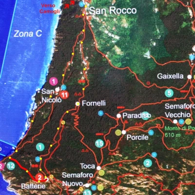
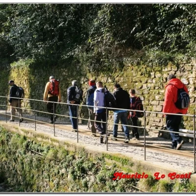
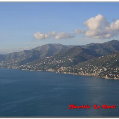
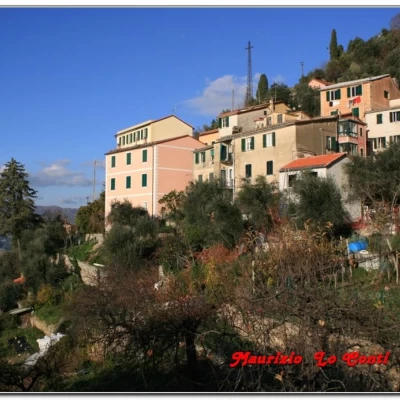
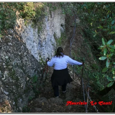
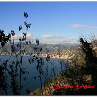
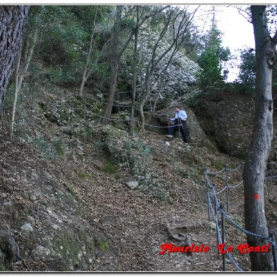
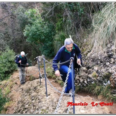
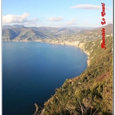
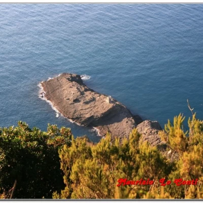
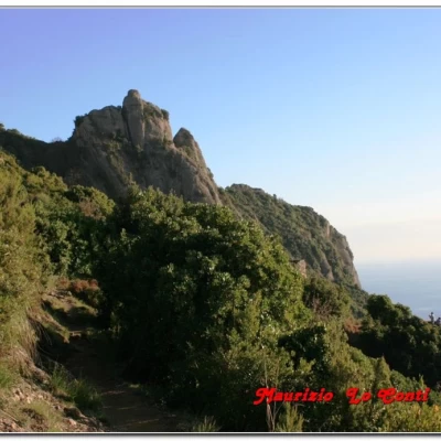
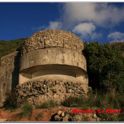
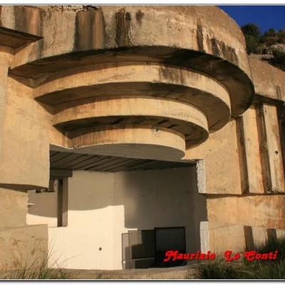
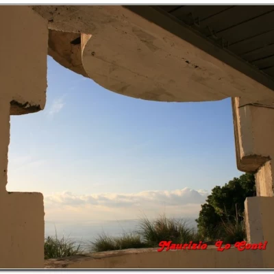
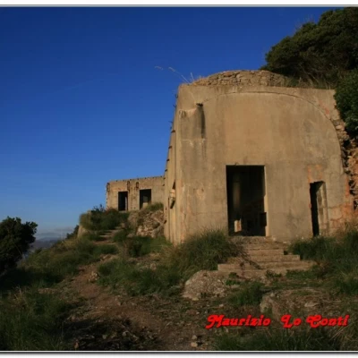
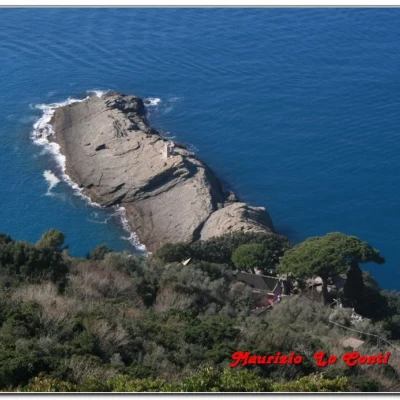
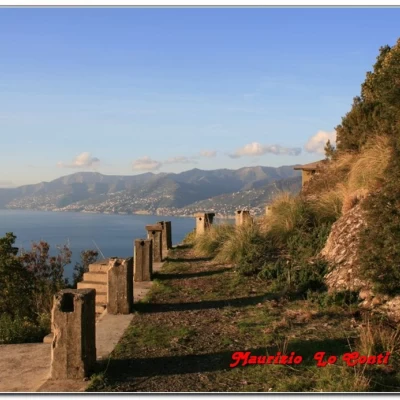
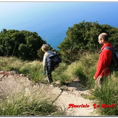
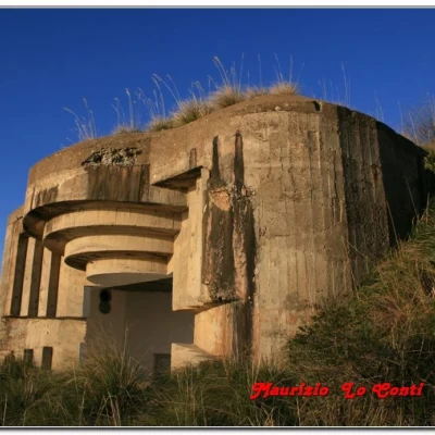
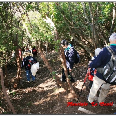
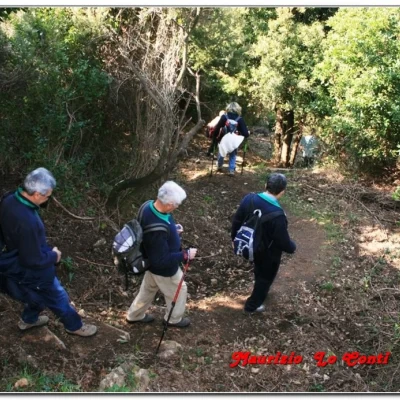
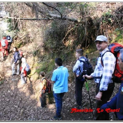
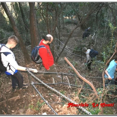
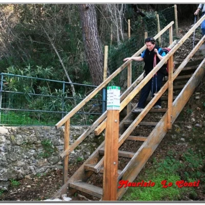
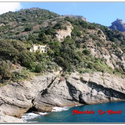
From the Camogli railway station, go down the road towards the sea and from a sharp bend (panel of the Monte di Portofino Park), take a path to the left that runs alongside a stream (two red marks). Then, one climbs along a series of steps and, in about 30', arrives at San Rocco, with a stupendous view of the gulf. From the hamlet, continue on the level along the two red dots and, after 5', ignore the fork to the right for Punta Chiappa, continuing straight on. Another 15' and you are at the fork x Semaforo Nuovo: here too you go straight on, with a few ups and downs and a view limited by the vegetation. After 20\25' you are at Groppo Marso, emerging from a splendid viewpoint. You ignore a first diversions that descends towards Punta Chiappa and continue horizontally for a couple of minutes. At Batterie 244 m, leave the two red marks to turn right downhill on an unmarked track. Now, you descend, visiting the various war artefacts (a torch is necessary; pay attention!). It takes about 45' to carefully examine the various bunkers. Afterwards, you descend for a long time into the forest, with a path that was reopened in 2012 and plunges down to the sea! In almost 30', you arrive at the coastal path. The path leads left in 3' to Punta Chiappa (tongue of rock extending into the sea). When the break is over, head back along the coastal path (at a fork, descend left towards Porto Pidocchio). You pass the Fishing Museum, which is only open in summer, and slowly climb back up 1000 steps to the locality of San Rocco 219 m (in 1h ). From there, with the morning route, you return to Camogli in almost 30'.

