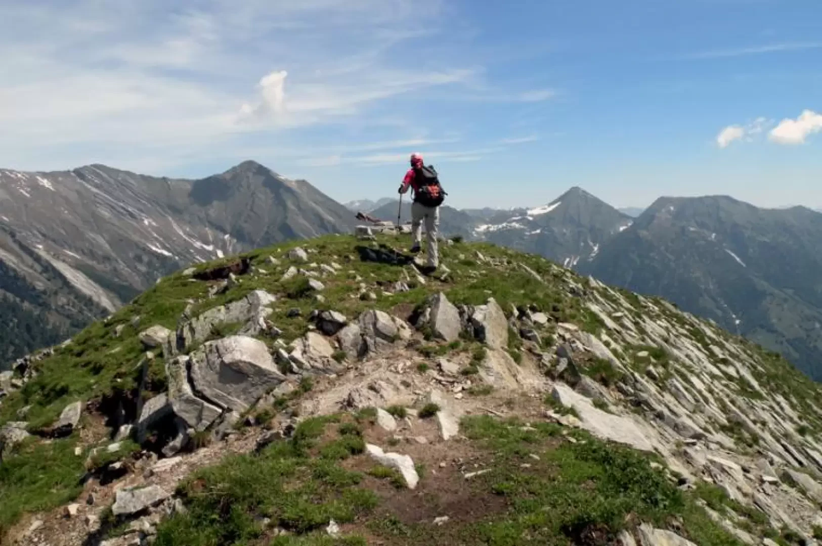
Monte Mater, from Sagrogno

Access
You take the A26 Genova - Gravellona motorway to its end at Gravellona and continue on the dual carriageway following the signs for Domodossola and the state border. Once past Domodossola, exit at the junction for Masera - Valle Vigezzo and continue to Druogno, where you will find the turnoff for the hamlet of Sagrogno on the left and where you can park your car in the small car park located at a hairpin bend.
Introduction
In spite of the average difference in altitude, the ascent to this peak is quite tiring due to the ascent through the forest, which is very steep. The path sometimes disappears because it is partially covered by foliage and you have to pay attention to the rare paint marks on the trees and a few cairns of stones (also useful on the descent), but in any case the ascent is logical and intuitive: you practically climb up the long, steep wooded rib that descends directly from the crest of the peak. The panorama is exceptional at 360° from the east face of Monte Rosa to the Alpine arc of nearby Switzerland and the pre-Alps of Valgrande and the entire Vigezzo valley below.
Description
From the hairpin bend, take a small tarmac road that soon becomes a dirt track and where, at the end of the few houses, you will find a crossroads with signposts at which you must keep to the right and follow the signs for Alpe Gora. As you walk along the mule track, you pass by the Pezza Cadone alpine pasture located on a small pasture (1077m). The trail now cuts across the slope to the right, crosses a small stream and arrives near the Branghi alp where the mule track gets lost and you will find a fork in the path, at which you must turn left before the hut and where, at the start of the ascent into the beautiful beech and birch wood, you will find the sign for Alpe Gora clearly visible on a log. The route is not always obvious, but you are helped by the cairns of stones that always follow the line of the ridge, which for now is quite wide, while the gradient increases noticeably as you climb. After a slightly steeper slope, you reach the open pastureland where the panoramic Alpe Gora (1465m) is situated and from where you can already appreciate the suggestive views of the Vigezzo valley and the pre-Alps. We continue to the right of the alpine pasture on an evident little path that heads towards the evergreen coniferous forest above, passing through some large stones driven into the ground like a fence, and now, compared with the previous forest, the slope increases even more and is always continuous for the approximately 500 m difference in altitude to the summit. In this section of the forest, the track is at first poorly marked and one must follow the cairns of stones, while later, as the trees thin out, it becomes more evident and always follows the line of the narrow ridge. At the exit of the wood, continue along the grassy ridge and climb up a couple of small bumps to reach the final stretch of the short horizontal ridge of stones and grass which, continuing a little to the right, leads to the summit.