Mount Peller

Edited by:
Maurizio Loconti
Updated at: 03/11/2025
Access
Appearing Cles (658 m) from the north, you do not enter the town centre, but turn right and initially follow the signs for a rest home. Afterwards, you turn up towards the Bersaglio restaurant (no signs!). Afterwards, the road climbs up the mountain and, until almost the Verdè locality, is asphalted, then, it becomes a dirt road (check the condition) usually in good condition. It must be said that it helps and a lot, in the uphill stretches, is cemented. After 18 km, leave the car in the small car park by the Dorigat pond (1869 m - you must arrive early!).
.Introduction
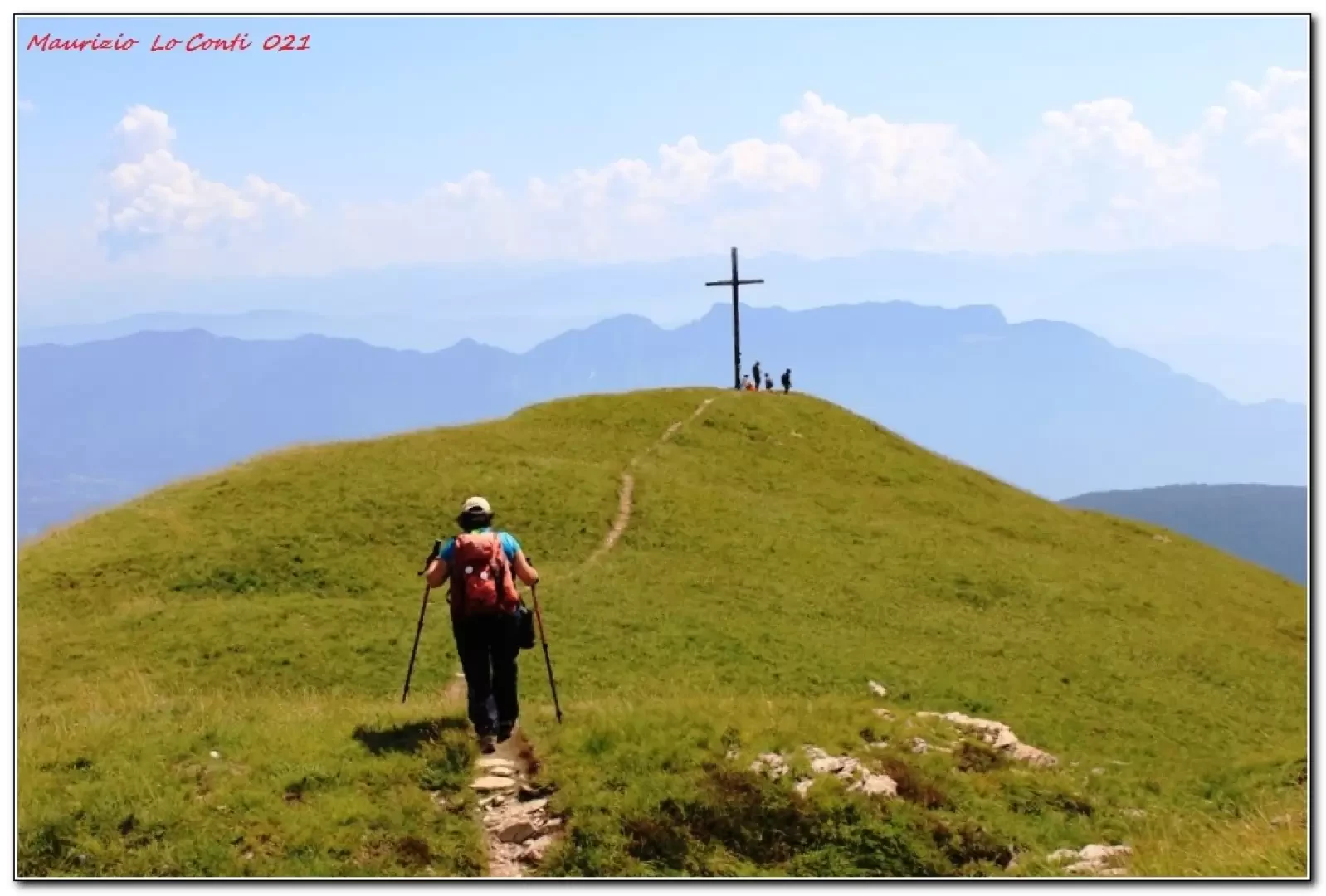
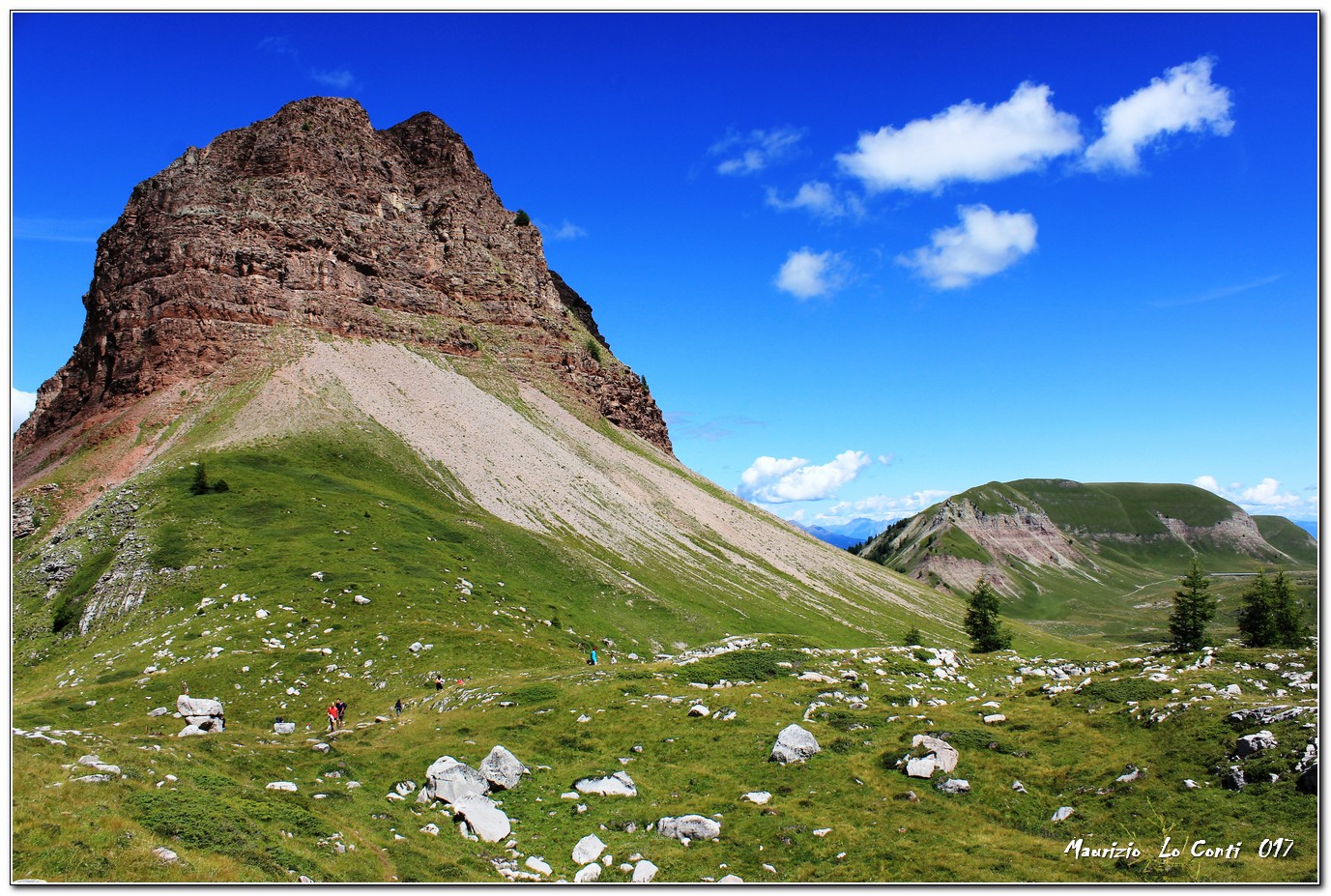
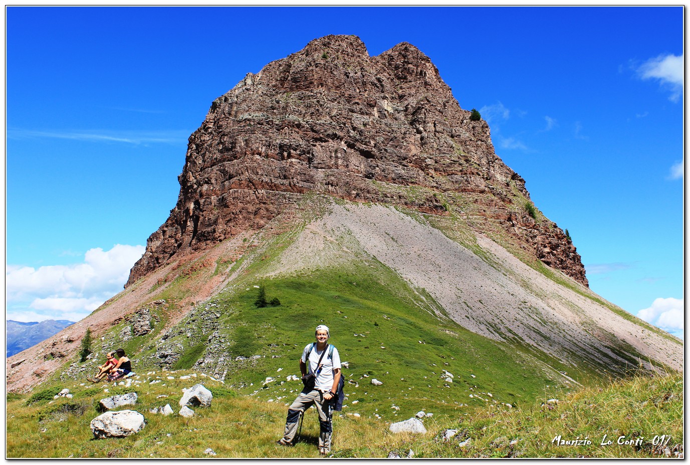
The Peller cross and summit are a pure spectacle, especially with favourable weather conditions... The ascent route avoids the most difficult part to the summit with an alternative route.
Description
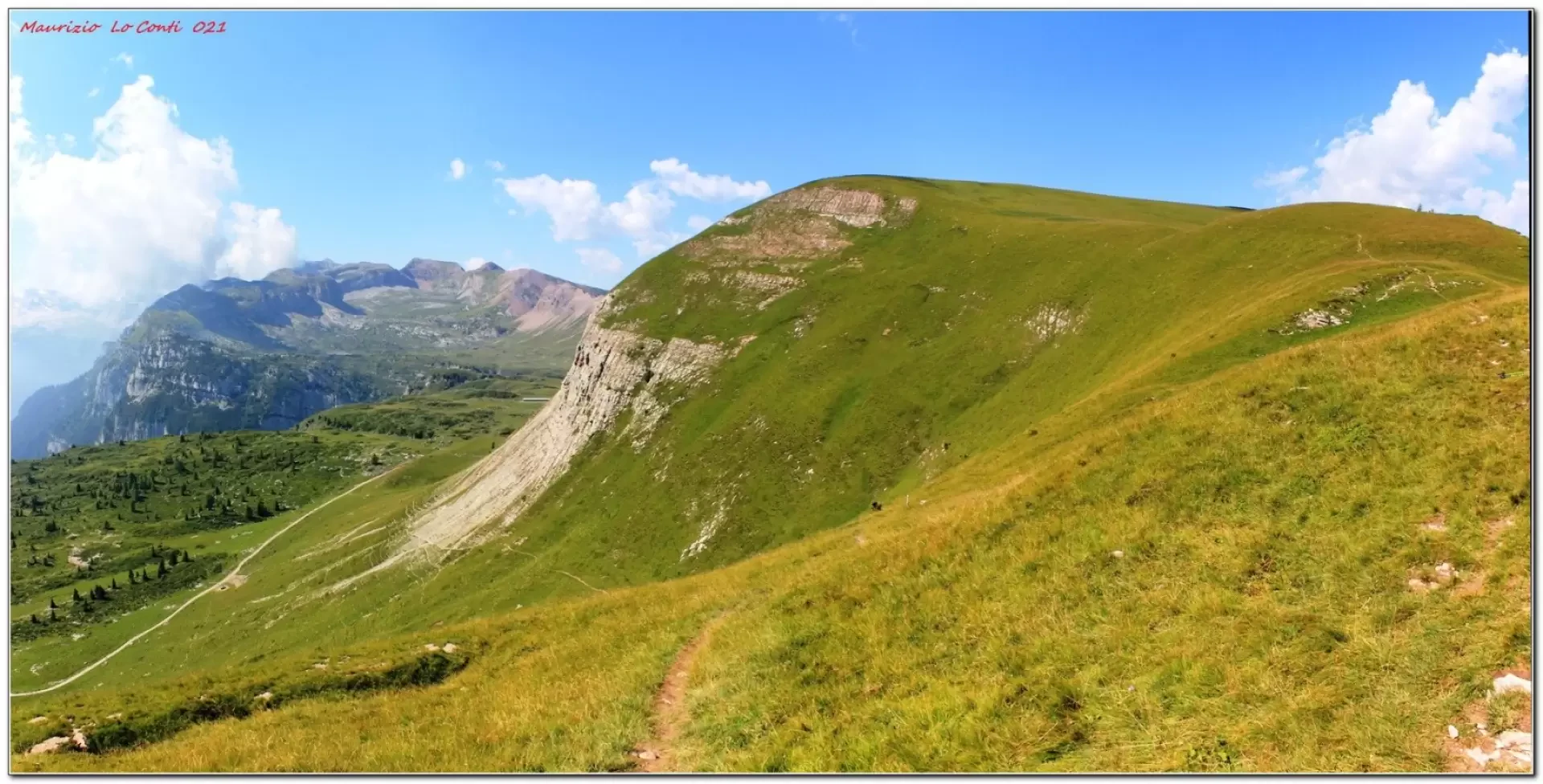
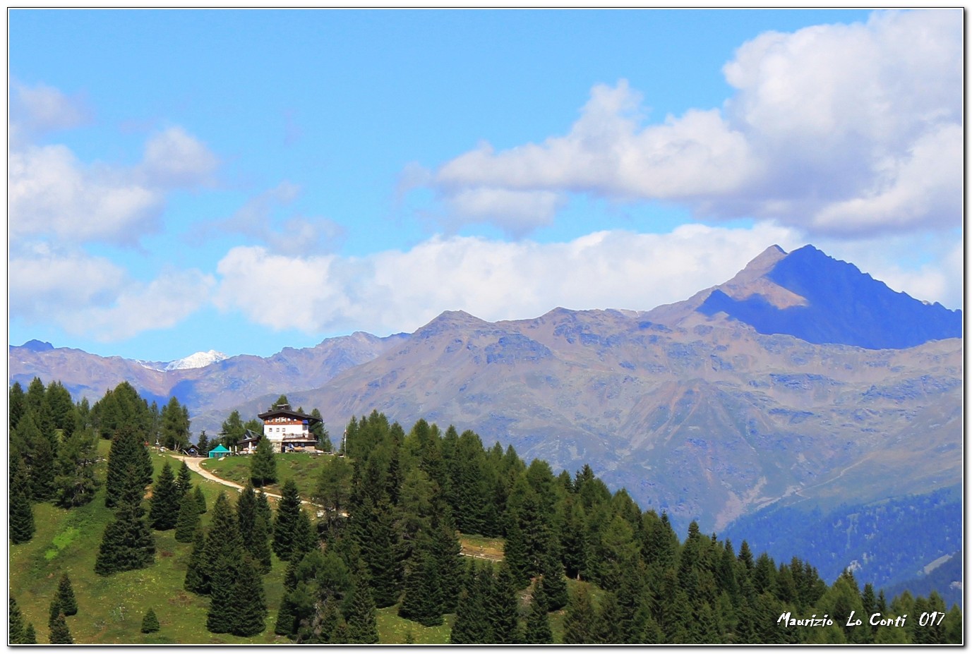
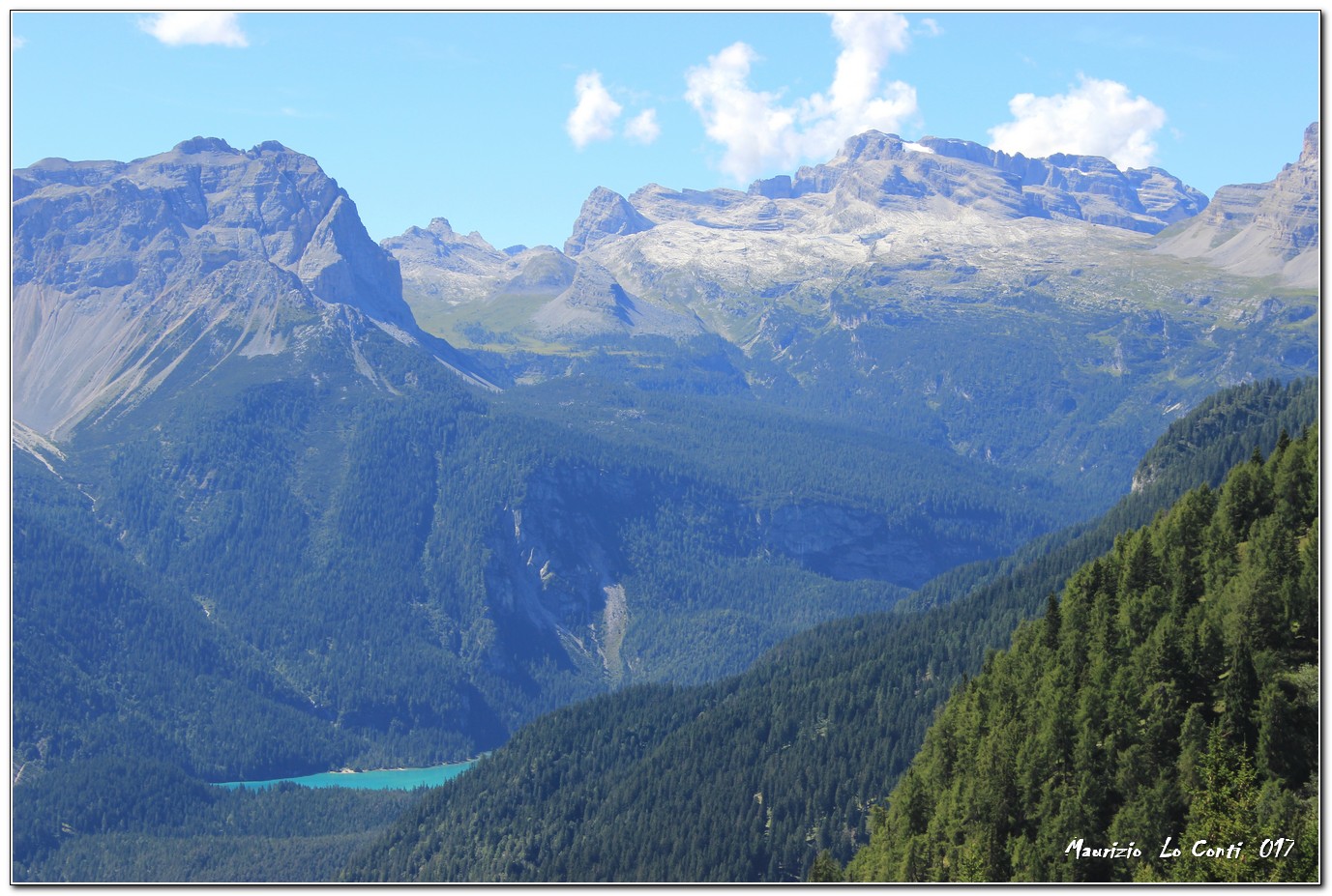
We set off, taking as our reference the post that points to Malga Tassulla. The first section is steep, but when it flattens out, you will notice some people descending from the cross and, cutting across the meadows, you will intercept the path that leads to the first viewpoint (2208 m). Afterwards, we continue, joining the path that climbs up from the Peller refuge (it is an easy route that requires the necessary equipment, however!). With a final effort, you reach the summit of Peller (2320 m), which dominates the stupendous Nana plateau and all the surrounding peaks. A route, literally, plunges vertically downwards, but it is tricky! ... and one retraces one's steps, returning to the cross. We return to the wide track just before the Tassulla malga, which is soon reached (2090 m - tot. 2h15). Here, we stop for lunch (several benches).
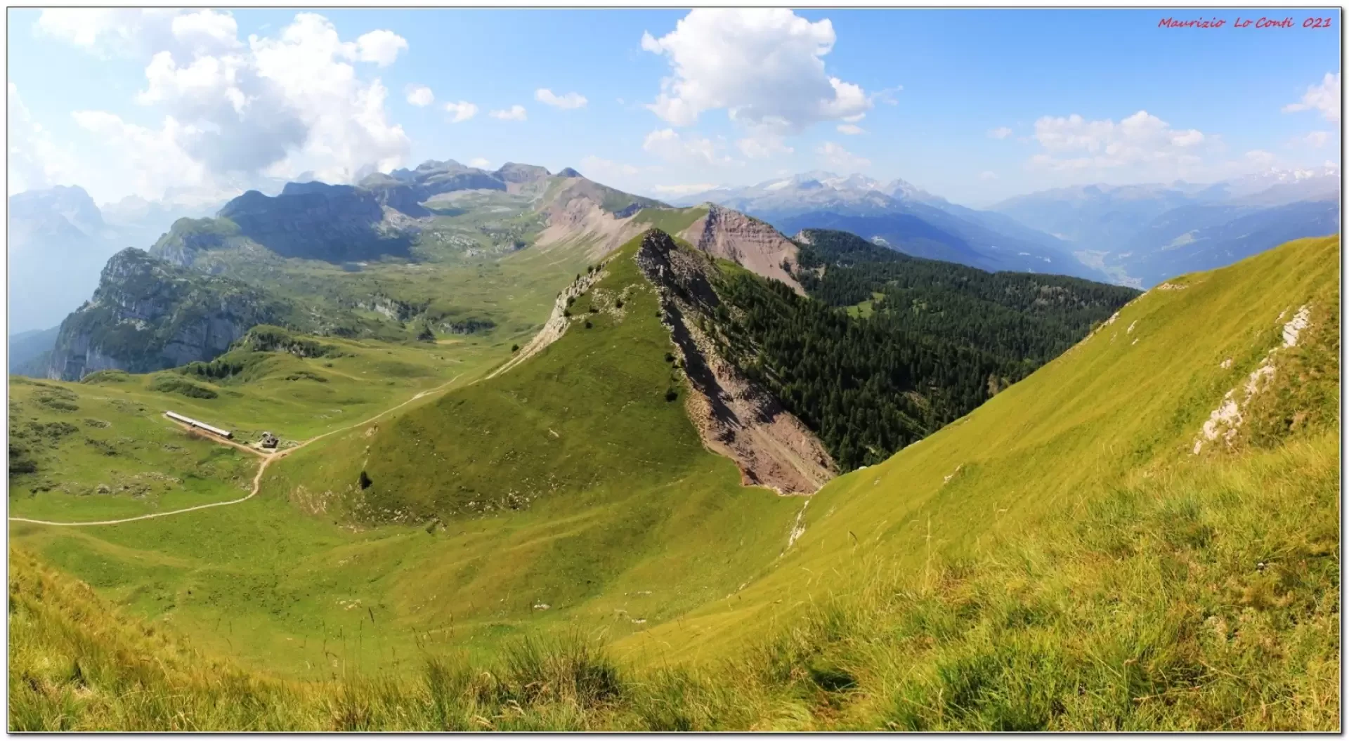
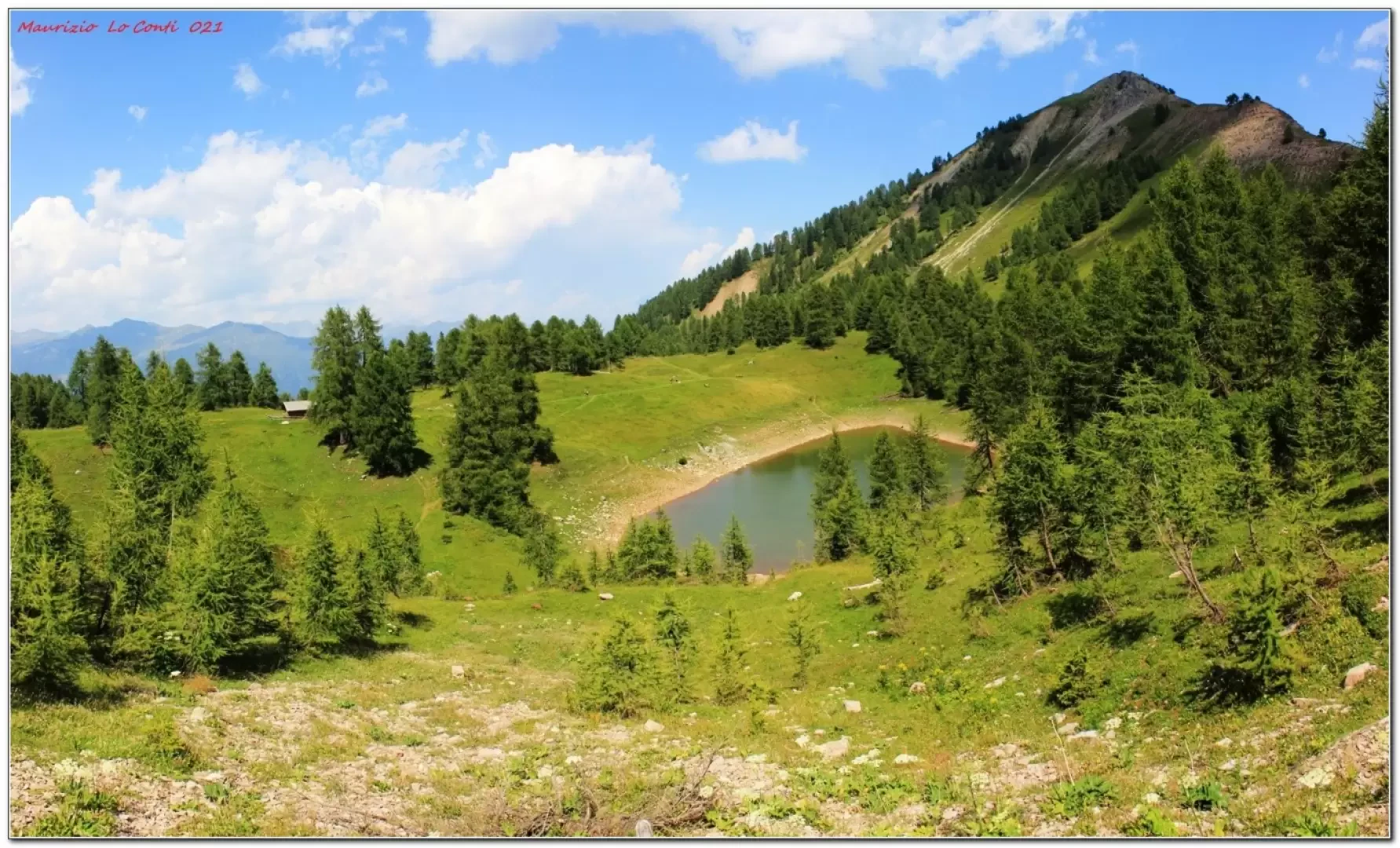
When the break is over, we climb back up to the pass (2105m) and then turn left towards Lake Salare (2004m). You contour around the water, always leaving it to the right (two distinct bodies of water can be seen), and then take a long, almost level stretch to a small cluster of houses and the Clesera hut (1889m). Beyond this, the route regains altitude. If you wish, at the fork you can go up to the Peller refuge (2022 m) and then back down to the car (tot. ret. 2h15).
In summary: fair day's ascent difference in altitude 600 m Dif. E 14 km for approx. 4h30 Tot. (2h15 and 2h15 ret.) + all the breaks to see the various places you come across Average ride comfort: good/discreet (only the ascent to the cross is sufficient)
If you would like, here is the pdf photo file, with a bit more news:
http://cralgalliera.altervista.org/VacEst021H.pdf
Previous visit to the area:
http://cralgalliera.altervista.org/FolgEst17/Trentino017F.pdfhttp://cralgalliera.altervista.org/FolgEst17/1707Fg1RifPeller.jpg
http://cralgalliera.altervista.org/FolgEst17/1707Fg2LagoTovel.jpg
http://cralgalliera.altervista.org/FolgEst17/1707Fg3PanoramaDaPassoNana.jpg
http://cralgalliera.altervista.org/FolgEst17/1707Fg4Palon.jpg
http://cralgalliera.altervista.org/FolgEst17/1707Fg5Peller.jpg
http://cralgalliera.altervista.org/FolgEst17/1707Fg6Peller.jpg
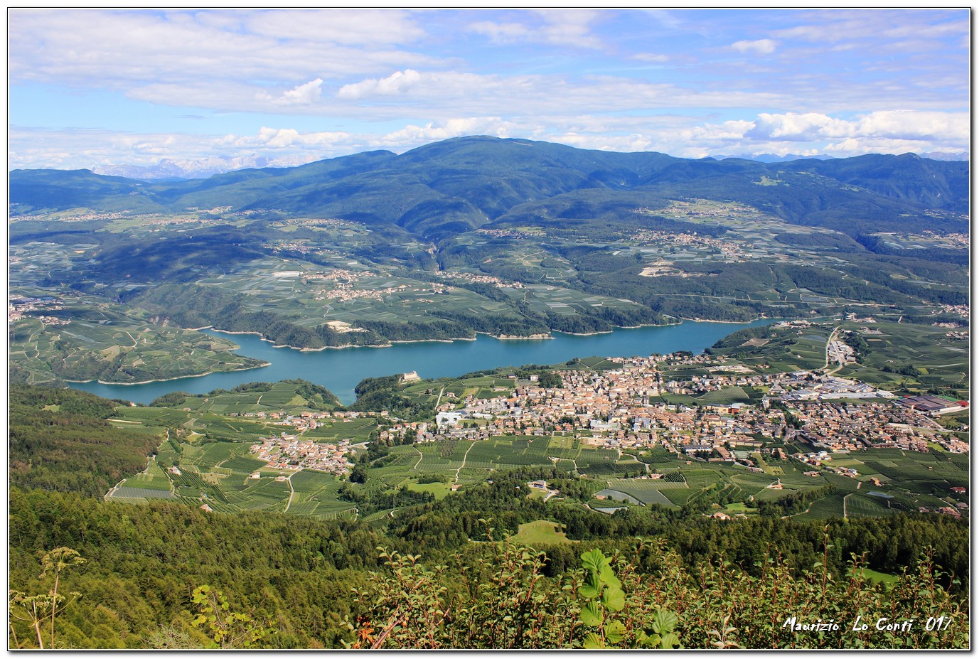
http://cralgalliera.altervista.org/FolgEst17/1707Fg7BorgoClesLagoSGiustina.jpg
NB: in the case of an excursion, always check with FIE, Cai, any park authority or other institutions, pro loco, etc., that there have been no changes to the route, that there have been no changes that have increased the difficulties! No liability is accepted. The present text is purely indicative and not exhaustive.
Info Hiking Section Cral Galliera: http://www.cralgalliera.altervista.org/esc.htm
trips 2021 at the link: http://www.cralgalliera.altervista.org/gite021.pdf
General Information
Signposting: SAT
Type of route:partially circular
Recommended period: June, July, August, September, October
Sun exposure: east
Objective Danger: none
Exposed Tracts: none
Useful Equipment:normal daily hiking equipment
Water: no.r.
Galleria fotografica