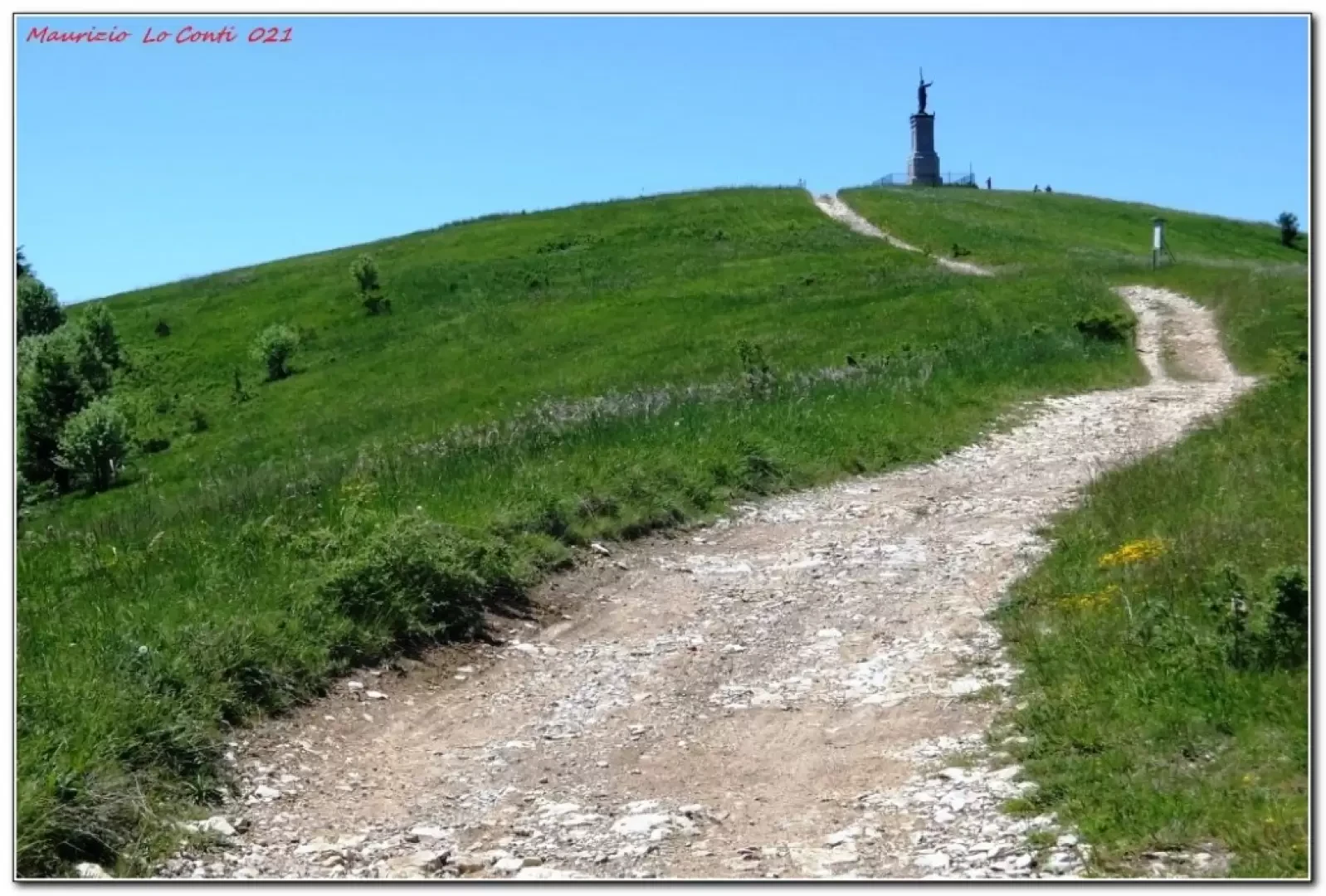
Monte Giarolo, from the Piani di San Lorenzo Refuge

Access
From the A7 motorway exit of Vignole Arquata, continue towards Borghetto Borbera and the Strette del Pertuso. Before Cantalupo Ligure, at the Tamoil petrol station, turn left towards Pallavicino; once past the village, continue for 500 metres and turn right onto a narrow tarmac road that, with many bends, comes to the end of the tarmac from the clearing before the building (possible refreshment stop).
Introduction
Monte Giarolo is a northern relief of the Antola chain and is the best known in the Tortona area. On the summit there is a large bronze statue dedicated to the Redeemer. The proposed loop is an easy, short circuit that follows wide, clear tracks that wind through a large beech forest, a larch wood, many oaks and the meadows at the summit. The only difficulty lies in the fact that, in part, it is not marked with CAI symbols.
Description
After passing a beautiful meadow and the building (the 'Piani di San Lorenzo' refuge), you enter the forest. Immediately at a fork, it is advisable to keep to the left on the wider track. The path climbs gently up between tall trunks (ignoring a branch off to the left) and the route joins the route coming from the village of Giarolo: turn right; at a subsequent Y-junction, the choice falls again to the right-hand branch. With twists and turns, the altitude is gained with more effort until emerging from the vegetation near the summit (1473 m). Discreet visibility will allow you to see the distant Alps... The path continues wide: at first the descent is a little steep, then it is gentler and the terrain improves. The path curves sharply to the right. Quickly, you join the access road just a few metres before the end. Now, you can take a break, comfortably seated on some benches.
In short
Diff. T - height difference 370 m - 6 km - 2h45 approx. total + stops - time: very good. Convenience: fair (sufficient for a return stretch below the summit). Best period: from spring to autumn, avoiding the coolest or hottest days. Tour interest: medium/high.
If you wish, here is the pdf photo file, with a little more information:
http://www.cralgalliera.altervista.org/Giarolo021.pdf
http://www.cralgalliera.altervista.org/anno2021.htm
http://www.cralgalliera.altervista.org/altre2021.htm
Previous trip to the area (pdf file):
http://cralgalliera.altervista.org/Caldirola018.pdf
Good walking
NB: in the case of an excursion, always check with FIE, Cai, eventual Park Authority or other Institutions, pro loco, etc., that there have been no changes that have increased the difficulties! No liability is accepted. The present text is purely indicative and not exhaustive.
Info Hiking Section Cral Galliera: http://www.cralgalliera.altervista.org/esc.htm
Trips 2021 at the link: http://www.cralgalliera.altervista.org/gite021.pdf