Mount Fenera, from Grignasco

Edited by:
Paolo Erba
Updated at: 09/03/2025
Introduction
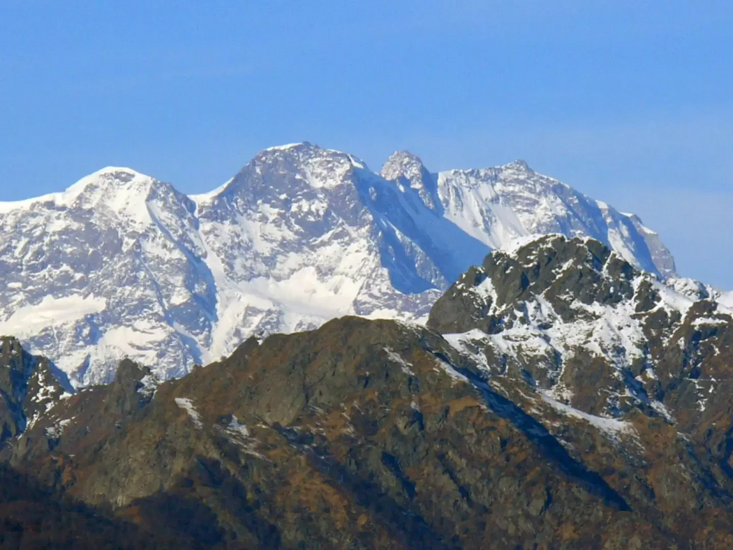
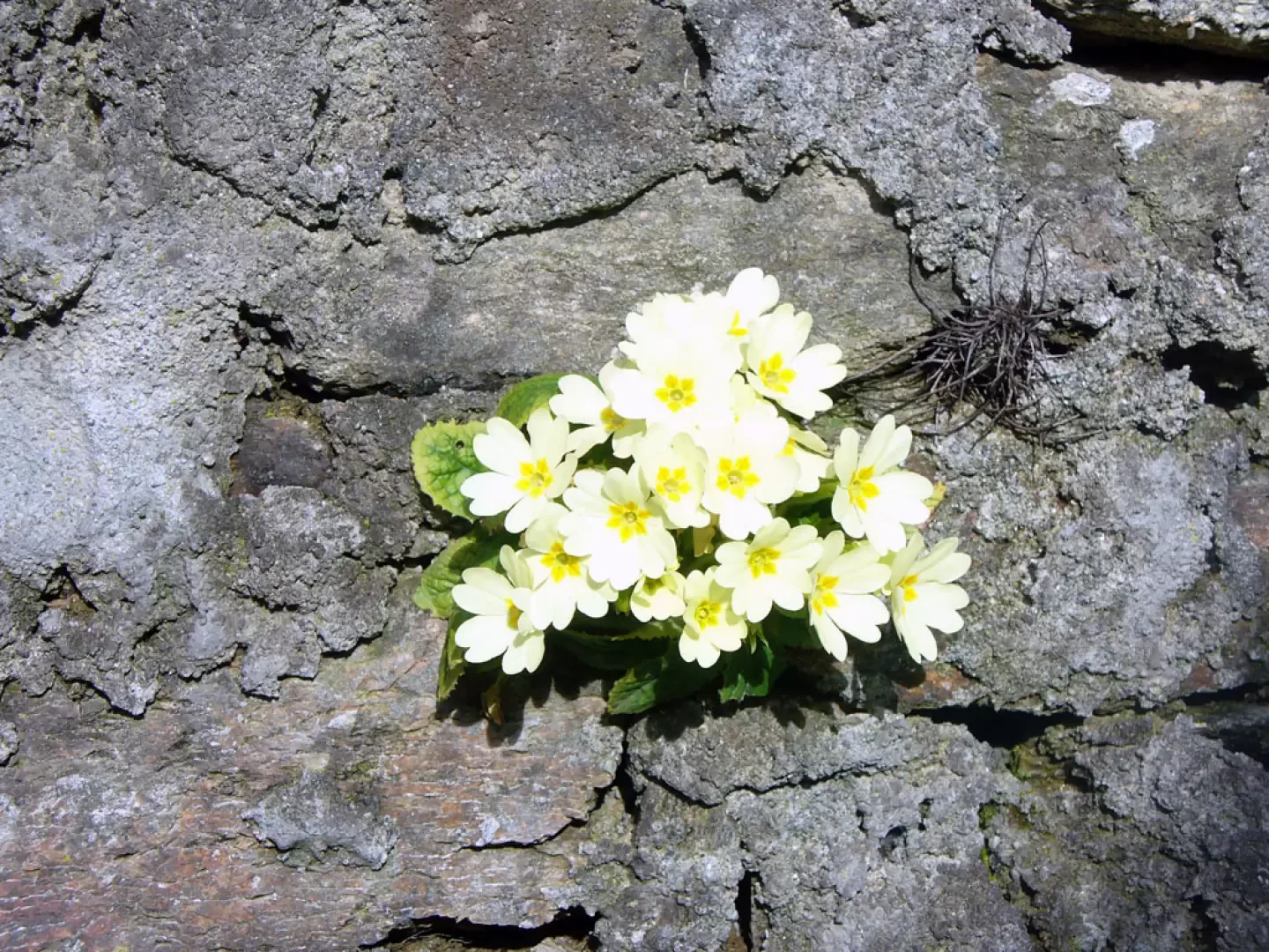
The Novara Pre-Alps offer easy itineraries (which can also be travelled by mountain bike) of manifold interests: geological (the caves), botanical (particularly rich woodland blooms), anthropological (the farmsteads and villages crossed) and panoramic; from the summit, Monte Rosa is really just a stone's throw away! The Monte Fenera regional park in Piedmont is therefore well worth visiting and discovering!
Description
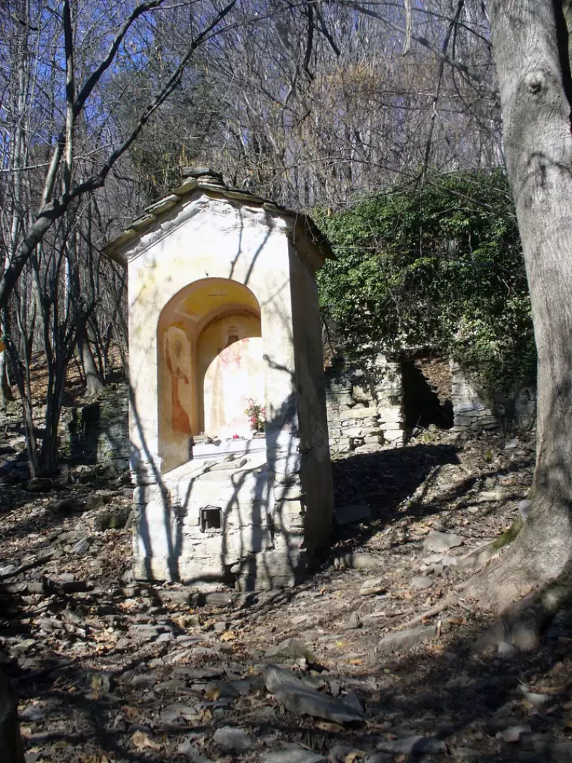
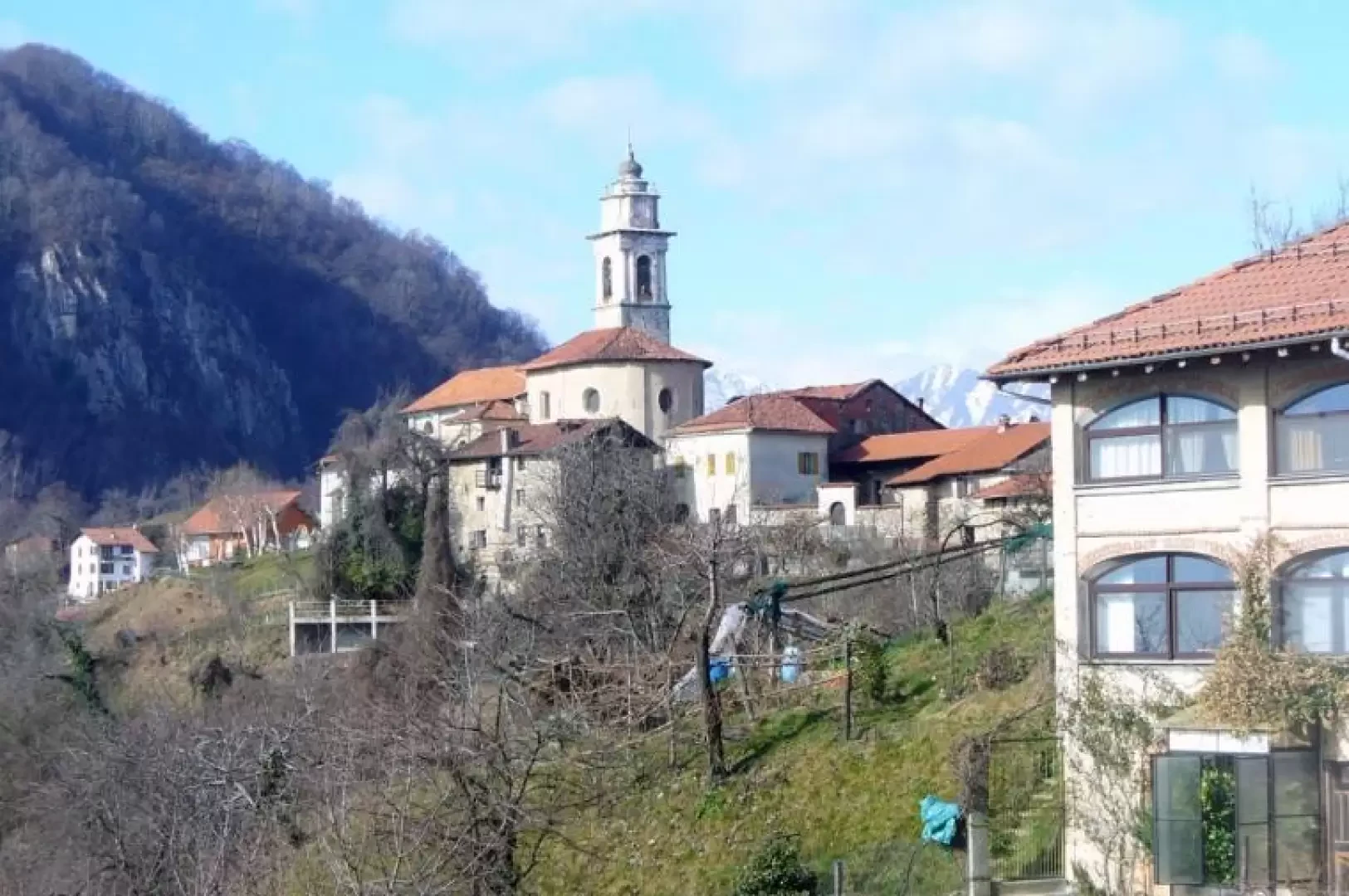
From the car park, enter the characteristic hamlet, crossing it all slightly downhill until you reach the church of San Grato. You then take the dirt road to the right, following the signs for Grotte. You will soon reach a beautiful view of the Magiaiga stream in one of the local karstic areas. (There would also be the possibility of a ring-route to visit the other caves, but unfortunately the path is very poor and for a long stretch the noise of the Valsesia below comes in). We proceed slightly uphill until we come to a fork where on the right we descend to Grignasco and on the left we go towards Bertasacco, our direction. It is already possible from here in the thicket of chestnut trees to spot roe deer! When you reach Bertasacco, take a track that is not always obvious but easy to follow (in places it even becomes carriageable!) and turn left. In the distance, you can already see the village of La Colma and to your left the summit cross. Following the present signpost, we enter a little path that leads us into a beautiful wood. After passing several small valleys and the characteristic Boretta bridge, a short climb leads to the Paradiso farmsteads. Easily now thanks to the wide and comfortable mule track, we overcome the short difference in altitude that separates us from Cerianelli and La Colma. When you reach the tarmac road, turn left immediately to cross the village to the parish church and then along the tarmac road to the picturesque cemetery. From the cemetery onwards, you will come across interesting explanatory panels about the area. Then continue along the dirt road to an indicated crossroads that offers two alternatives for the ascent to the summit. Either continue along the dirt road, which is more comfortable and easier, or take a right (recommended) along a partly steep path that leads into the dense woodland through evidence of rural life and explanatory signs. Once out on the summit dosal, before going to the cross on the left, to enjoy the Monte Rosa at your fingertips, it is best to go right to the San Bernardo chapel to admire the spectacular panorama from here too.
Galleria fotografica