Monte Crociglia and Monte Carevolo, from the Crociglia Pass


Edited by:
Maurizio Loconti
Updated at: 03/11/2025
Access
From Rezzoaglio, which can be reached from the Lavagna exit of the A12 motorway, turn left onto the ss586 (to the right for Santo Stefano), and continue until you come to a tunnel, before which you turn left x Boschi and Torrio (6 km).
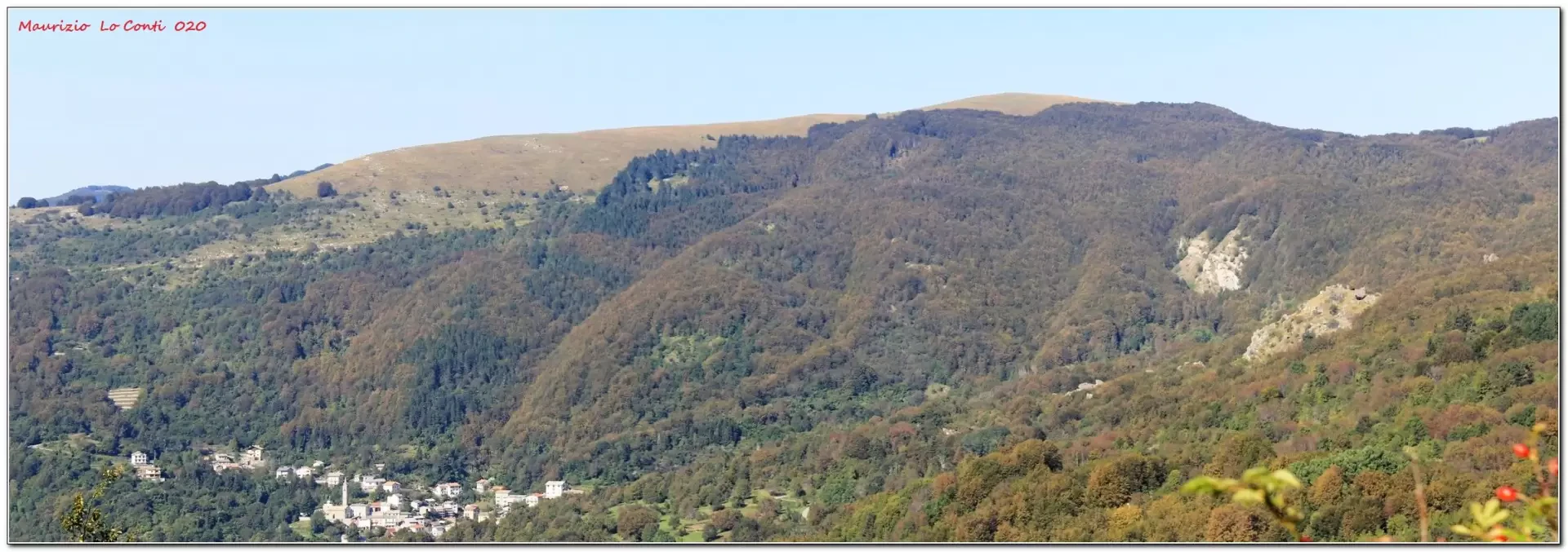
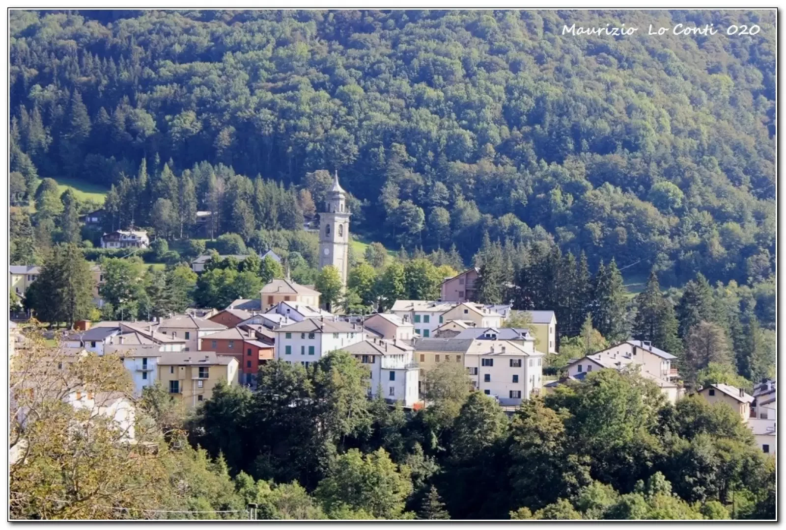
The narrow, twisting road climbs up to the hamlet of Torrio, where, at a fork, you bear left (towards Ferriere). You still gain altitude up to the Crociglia Pass 1469 m, where you leave your car at the side of the road at a picnic area (about 19 km from Rezzoaglio). For the return journey by car, from Torrio take a tarmac branch-off (only about ten metres are not asphalted) which in 6 km leads directly to Santo Stefano d'Aveto.
Introduction
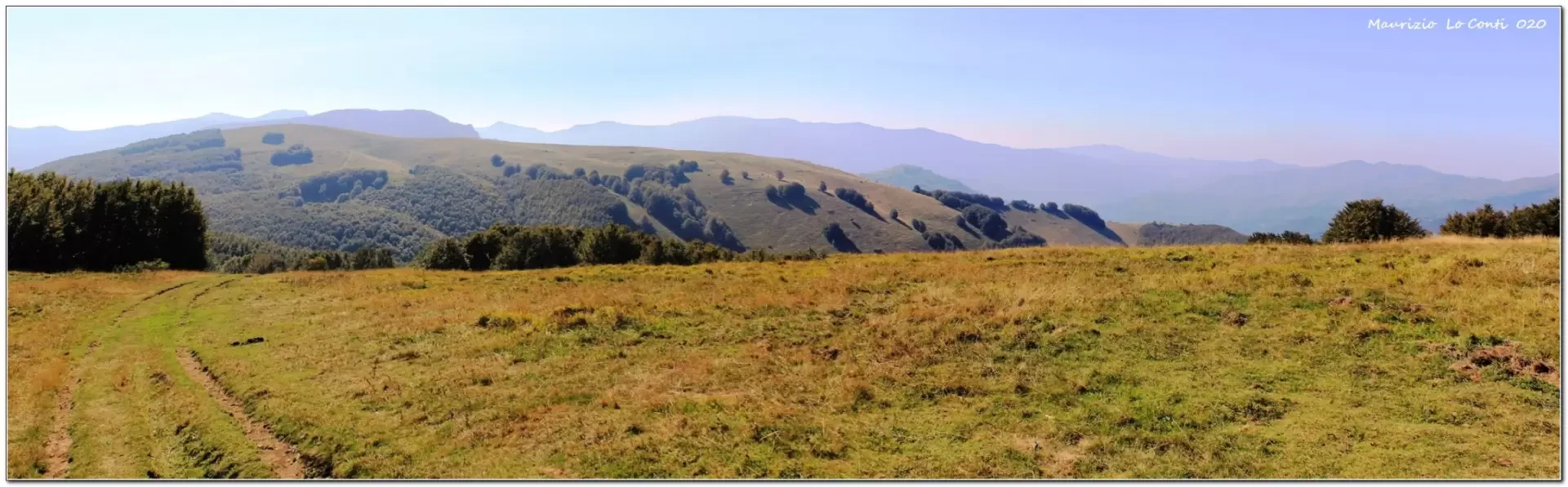
the Crociglia and Carevolo mountains.
Description
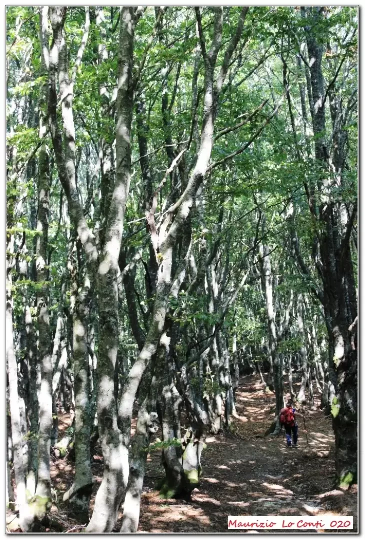
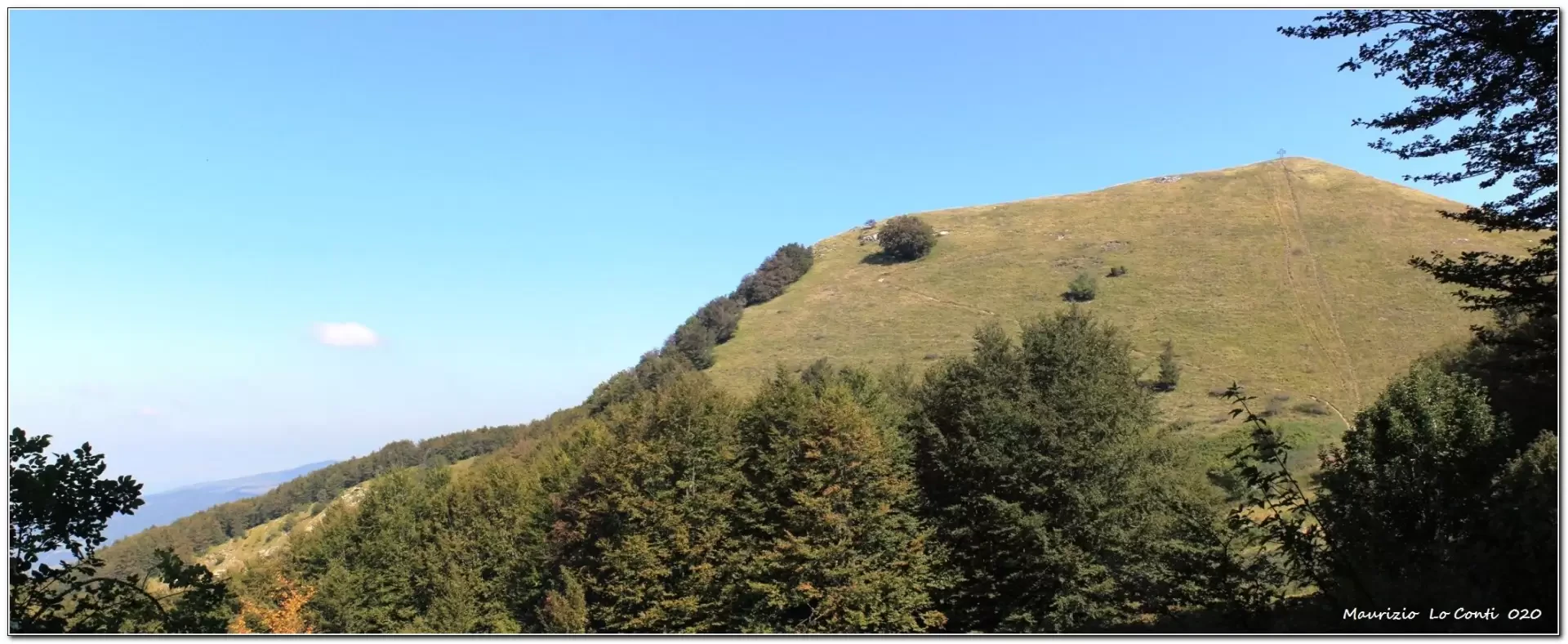
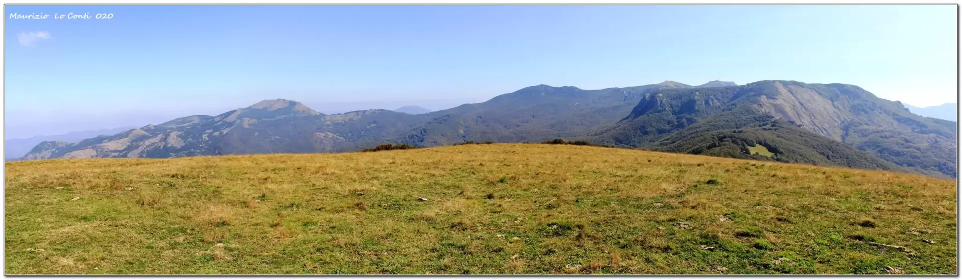
From the car park, we take a dirt track that enters a forest, but then immediately leaves the vegetation. To the right is the variant to the summit of Crociglia, opposite in the distance is already the current destination of Monte Carevolo. We lose altitude and face the beech forest. We continue on the main route, ignoring a few variants that come into view. For the outward journey, one chooses to pass by the ridges, which are more scenic, temporarily neglecting the CAI symbols that cut further down. You cross the grassy watershed with beautiful views. One arrives at Passo Cantone 1507 m (rest area) and here, too, one chooses the unmarked but clearly visible route to the left. Compared to the first variant, however, it is less scenic. With a somewhat steep descent, you find the marked trail again and immediately afterwards the Pian del Lupo (1458 m). The summit of Carevolo is just opposite and with a series of hairpin bends you climb back up to the summit cross (1552 m - 2h). The view sweeps in all directions...
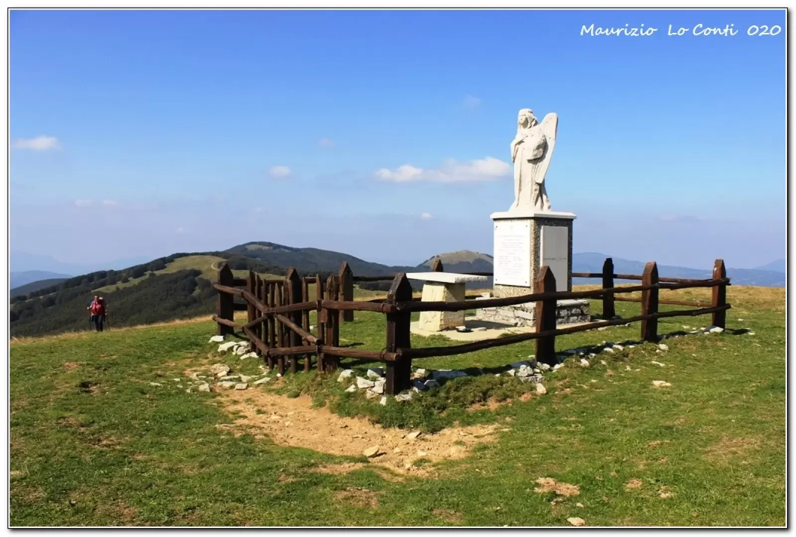
We descend back from the plateau and for the return journey, faithfully follow the cai flags, passing another refreshment point. Further on, we regain a little height and when it levels out, we go left across meadows to reach the summit of Monte Crociglia (1578 m - 1h30), presided over by a large statue of an angel. We descend to the dirt track below, which takes us back to the car quickly (15').
In short: Diff. T - 3h45 tot. - Average walking comfort: fair. Best period: summer
NB: In the event of an excursion, always check with Fie, Cai, any park authorities or other institutions, pro loco, etc., that there have been no changes that have increased the difficulties! No liability is accepted. This text is purely indicative and not exhaustive.
as well as the pdf photo file, with a bit more info:
http://www.cralgalliera.altervista.org/CrocigliaCarevolo020.pdf
http://www.cralgalliera.altervista.org/anno2020.htm
http://www.cralgalliera.altervista.org/altre2020.htm
General information
Trail:
Signposts: cai, some sections without symbols if you go over the ridges
Type of route: a/r with some variants
Recommended route length: late spring to early autumn
Sun exposure:east
Objective danger:none
Exposed sections:none
Useful equipment:normal daily hiking equipment
Photo gallery
Comments (0)
Sign in to leave a comment