Monte Cordona, from Sant'Ilario
Access
From Nervi (Via Oberdan, in front of the Croce Verde) bus no. 516 goes up to S.Ilario, with rides every 30'; there are few parking spaces at high altitude. At the limit, you can use a scooter.
Introduction
The ascent is a classic Fie route, reaching the top of the Coastal Chain just above Nervi.
.Description
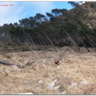
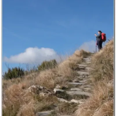
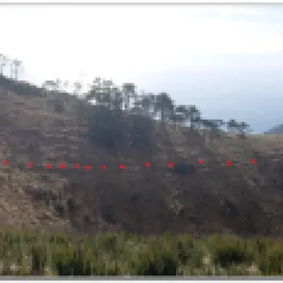
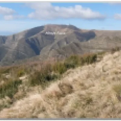
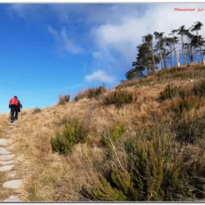
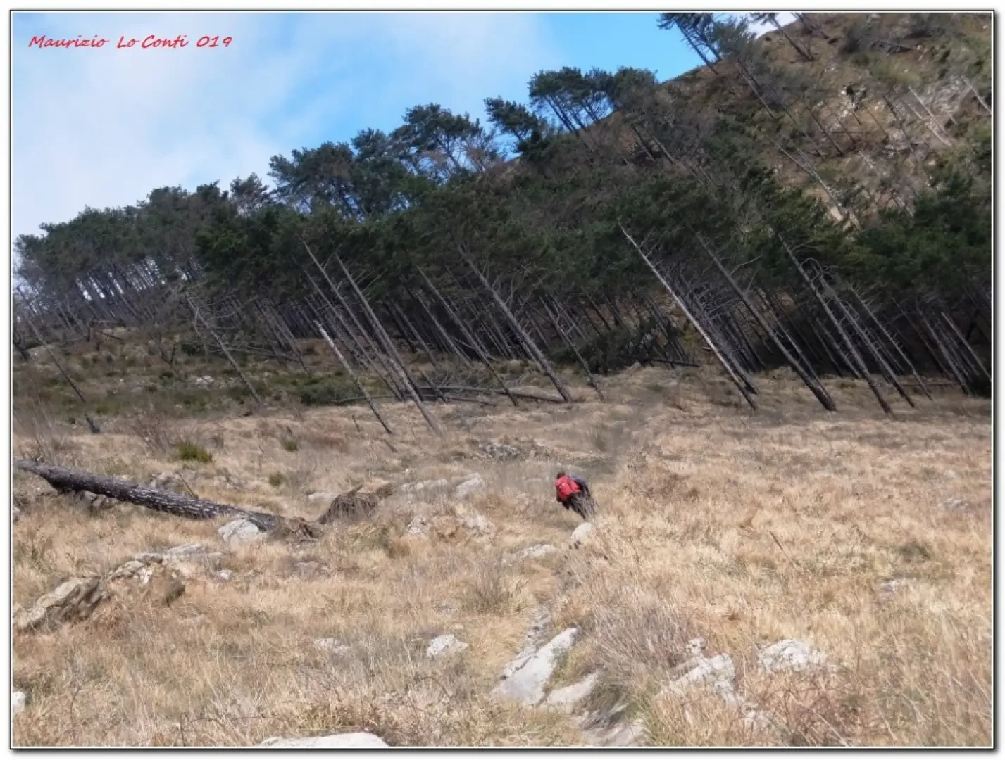
From the bus terminus in S. Ilario (200 m), go up via dei Marsano. Then take via Fossa dei Carboni di Sopra to the right, using the unusual Fie sign as a reference point. At the following forks, follow the markings until coming out (a little steeply) of the Serra di Cantalupo. The recent marking seems to have disappeared, but we did not look for it assiduously and, since there was the beautiful traditional route (freshly restored, with the red markings clearly visible) to the Cordona, we chose that one. Given the period, however, it was perhaps better to go via Monte Giugo. The latter is better exposed than the classic one, which is damp, being in the shade (and slippery... although it hasn't rained for weeks...). On the left, there are beautiful views towards Monte Moro and Fasce. In any case, past the Crocetta pass (483 m), the path becomes beautiful, with a paved road that is still very well preserved. The old cultivation terraces above Sessarego stand out. After the Bric Gianesi (614 m), which you pass by leaving it to the right, there are two large fallen trees that complicate the passage (especially the second one, in the section where the path is narrower and steeper - the south-east side of the Cordona). You almost touch the Fasce road, but turn left and, with a final ramp, you reach the summit of Cordona (802 m). To tell the truth, it is a little anonymous and the highest point is not well marked (2h15), but the views are nonetheless wide and the access route is well worth the effort... You could do a loop, descending from the Lentro pass, but the path is very poorly marked and therefore it is better to use the ascent route for the return (1h45).
In short: Good weather. Dif. E - 4h Tot +600 m asl.
If you would like, here is the pdf photo file, with some more news:
http://www.cralgalliera.altervista.org/Cordona019.pdf
http://www.cralgalliera.altervista.org/anno2018.htm
http://www.cralgalliera.altervista.org/altre2019.htm
A booklet is also available, with an outline map (from openstreetmap); here is the link:
http://www.cralgalliera.altervista.org/FascicoloMonteCordona019.pdf
NB: in case of an excursion, always check with FIE, Cai, the Park Authority or other institutions, pro loco, etc., that there have been no changes to the map, that there have been no changes that have increased the difficulties! No liability is accepted. This text is for information purposes only and is not exhaustive.
Info Hiking Section Cral Galliera: http://www.cralgalliera.altervista.org/esc.htm
trips 2019 at the link: http://www.cralgalliera.altervista.org/gite2019.pdf
