Mount Caucasus, from Fontanabuona

Edited by:
Maurizio Loconti
Updated at: 03/11/2025
Access
From Genova Molassana, go up towards the village of Torriglia. Once you have passed it, continue on to Montebruno and, immediately afterwards, turn right towards Barbagelata, where you can leave your car (there is a clearing at the old church on the left). For the return journey, it is preferable to descend from the Scoglina Pass towards Val Fontanabuona. From Ortigaro, Favale di Malvaro, a break is a must at the Pasticceria Galletti (an excellence of our hinterland). Once in Fontanabuona, turn right and climb up the valley to the Bargagli tunnel, which takes you back to the road of the outward journey.
.Introduction
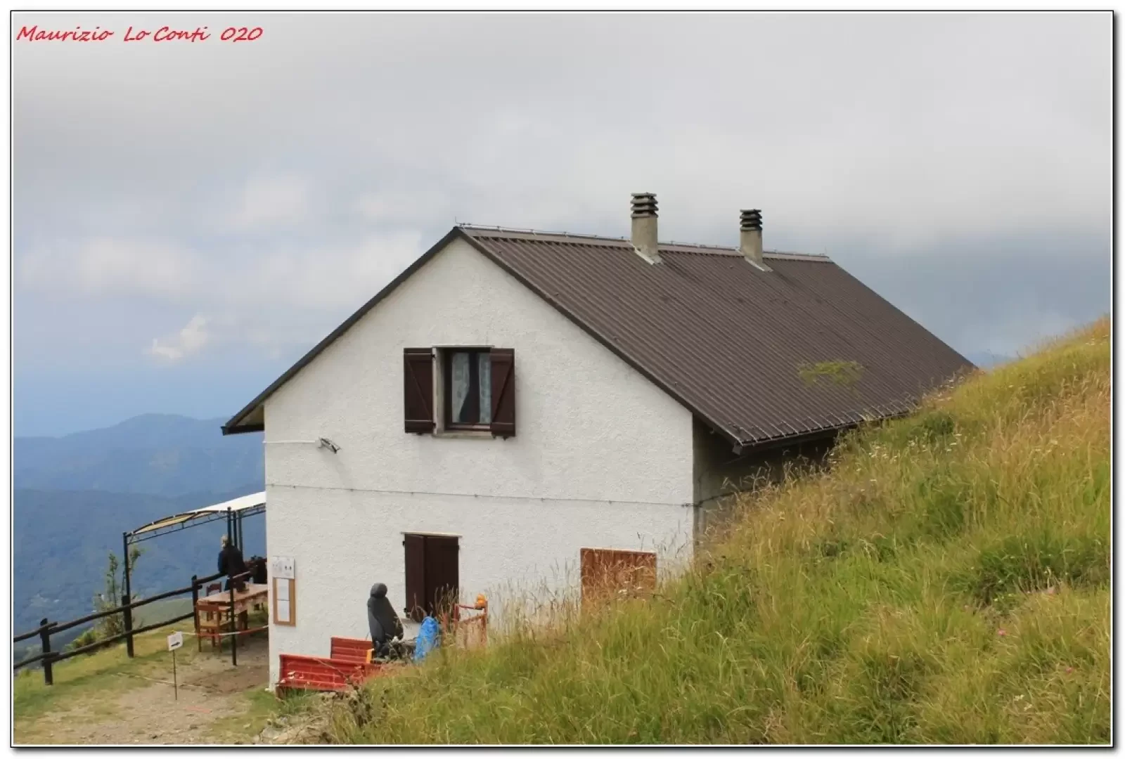
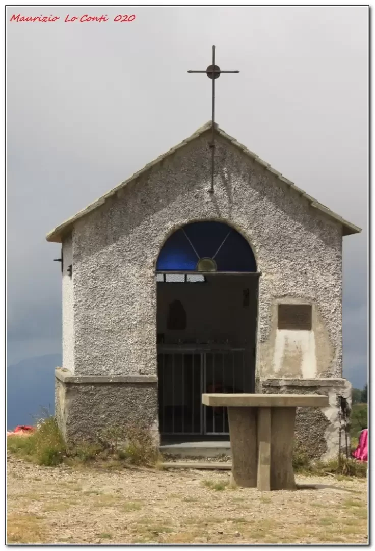
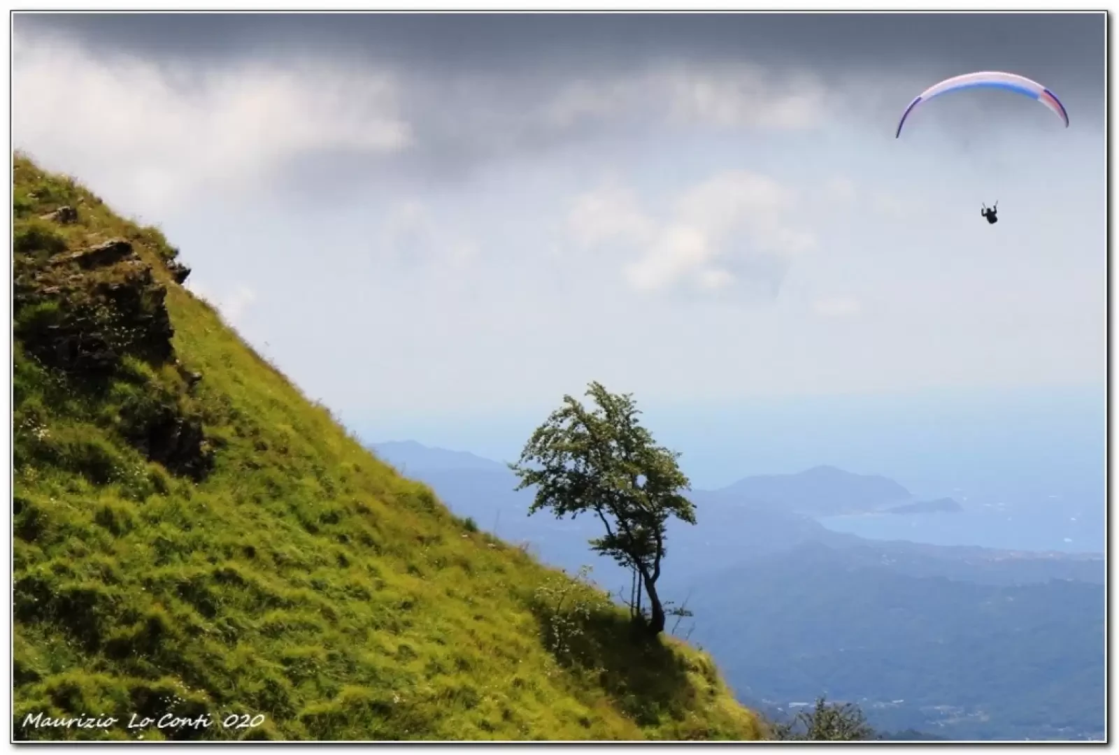
Barbagelata (1115 m) is one of the highest villages in the Ligurian Apennines, while Caucasus (1245 m) is a mountain in the Ligurian Apennines that overlooks the central section of the Fontanabuona Valley. At the summit, there is a small chapel and, for the past 10 years or so, a managed refuge.
.Description
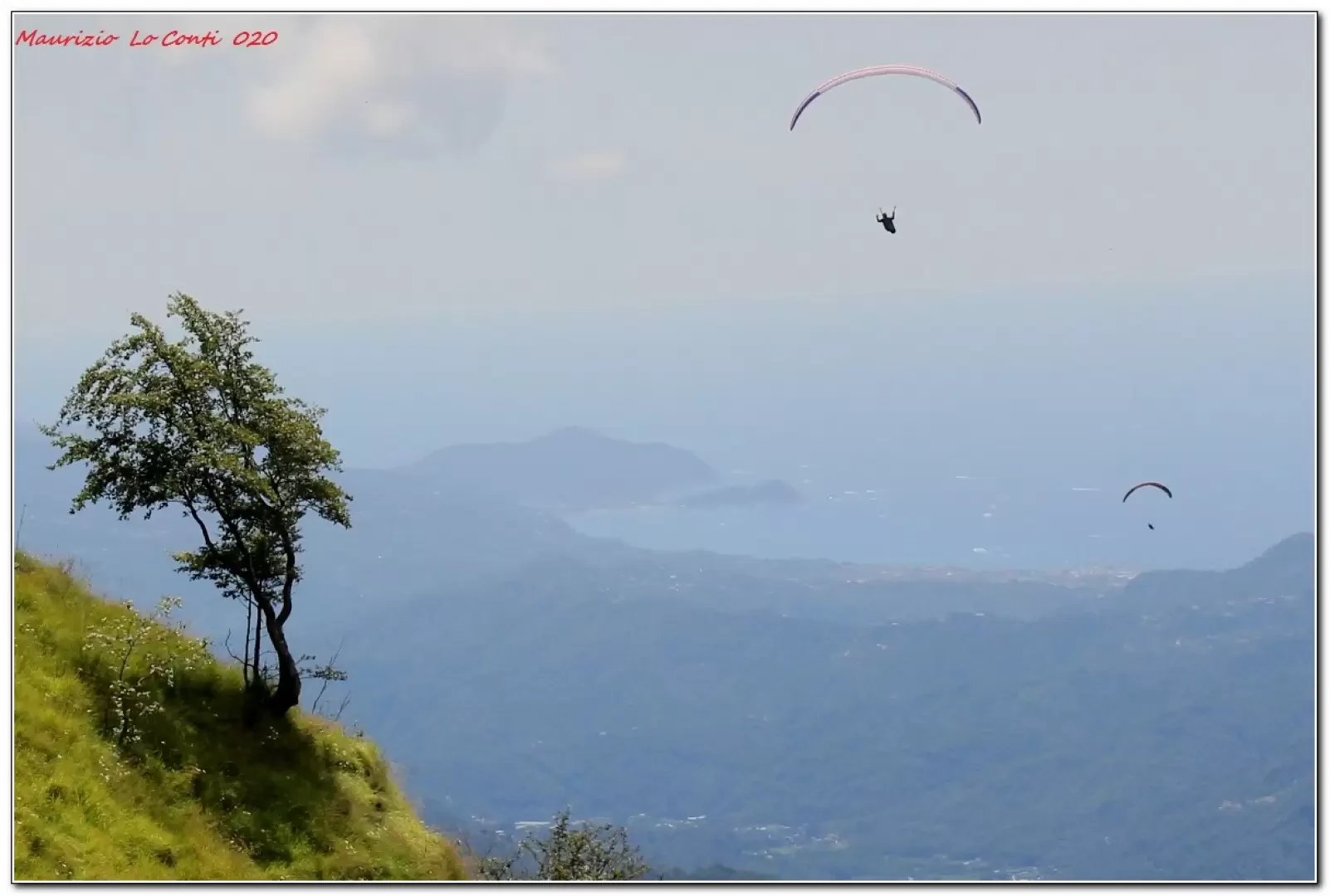
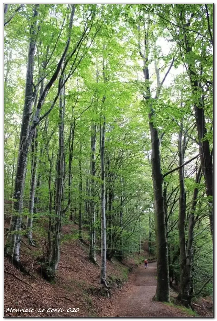
From the village (1115 m), we descend on tarmac towards the south. In 10 minutes, there is a fork to the right on a dirt road that immediately splits in two. The right-hand branch is the AV and you must choose the one on the left. You climb for a short while, then, when the wide track turns right, you definitely lose altitude (which you will have to regain on the way back), entering a beautiful beech forest. Two signposts are crossed and now the track is almost level. You come to the Gabba pass at 1109 m, which is not very evident because it is not signposted, and immediately afterwards you turn left in a steep ascent, neglecting the straight route to Neirone. We climb until we emerge from the vegetation and make a semicircle to the left. You ignore another path, and with a final steep ramp you reach the summit of Caucasus (1245 m - tot. 1h25/1h35) at a small chapel on the grassy dome. Just below, there is the refuge of the same name and several paragliders in action; unfortunately, the weather is a little cloudy and hinders the otherwise exceptional panorama. We take a break, noting that the coffee is more than discreet, a rarity for mountain refreshment... After the break, we head back along the morning route. It would also be possible to do a ring-route via Acquapendente, the Scoglina pass and retracing the AV (+1h) in the last part, but this is left out... The return to Barbagelata, considering that it is not all downhill, is still quite fast (1h20/1h25).
In short: Diff. T very very easy - Disl. 300 m - 3h scarce AeR - 8 km AeR.
NB: In the case of an excursion, always check with FIE, Cai, any park authorities or other institutions, pro loco, etc., that there have been no changes that have increased the difficulties! No liability is accepted. This text is purely indicative and not exhaustive.
as well as the usual pdf with several pictures and a bit of other info:
http://www.cralgalliera.altervista.org/BarbagelataCaucaso020.pdf
http://www.cralgalliera.altervista.org/anno2020.htm
http://www.cralgalliera.altervista.org/altre2020.htm
General information
Signposts: Fie and Park Authority
Galleria fotografica