Mont de Prial


Edited by:
Giancarlo Beretta
Updated at: 05/07/2025
Access
Si percorre la Torino-Aosta e si esce al casello di Pont St. Martin; si seguono le indicazioni per la valle di Gressoney e, superato di poco il comune di Fontainemore, si trova un bivio sulla sinistra con le indicazioni per la frazione di Cara. Si imbocca la strada e percorso qualche chilometro si giunge alle poche case di Cara dove si può lasciare l'auto nel piccolo parcheggio antistante ad esse.
Introduction
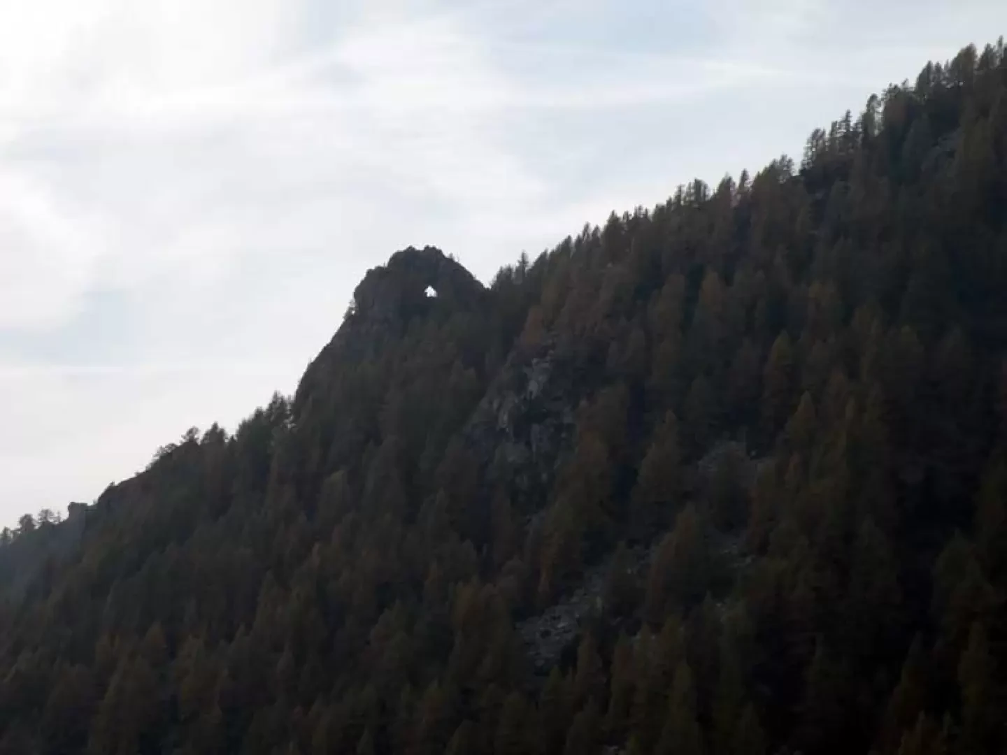
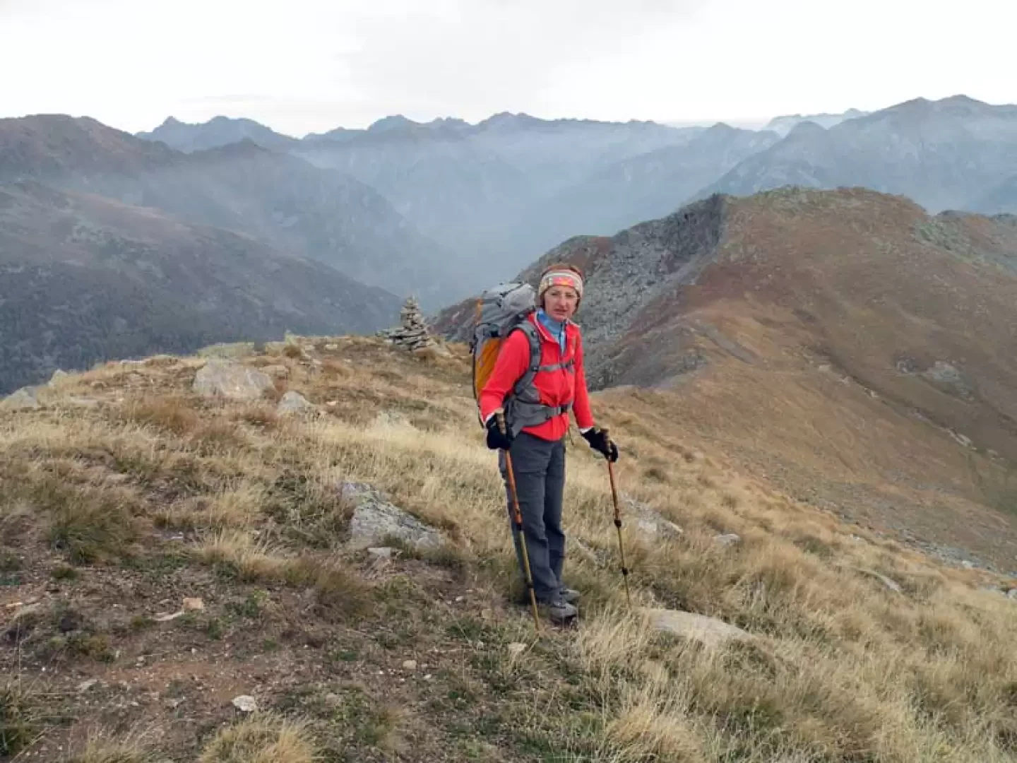
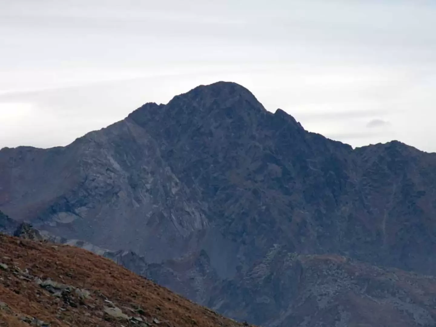
This excursion goes up a beautiful valley dotted with alpine pastures and huts, many of which are well maintained, and it is advisable to do it in the autumn, both for the low altitude and the southern exposure and for the beautiful colours with which the woods and pastures are tinged. The path, especially in the upper part, gets lost in the grass and among the stones, but you can always have a safe reference from the numerous yellow markers and arrows that indicate the route, which is already intuitable. The panorama from the summit is closed off to the north-west by a few stony spires, while in the other directions you can enjoy beautiful views of the distant Mount Mars group and the Biella mountains to the south, as well as close-up views of the peaks of Mount Crabun to the west and Mount Voghel to the north-east.
Description
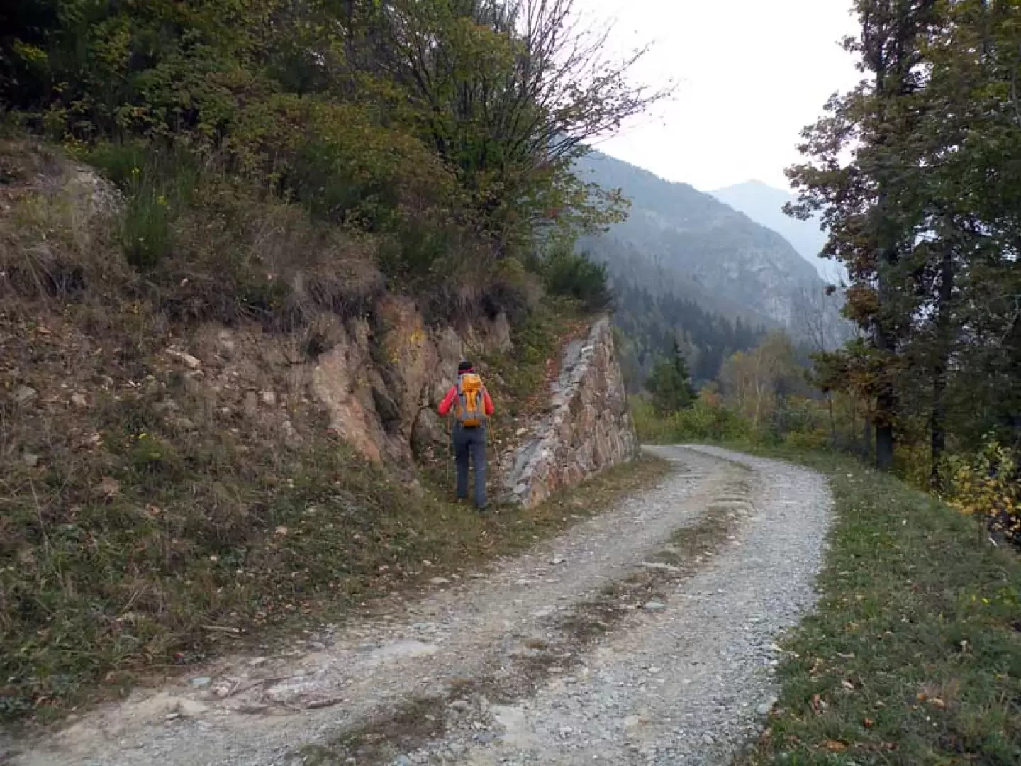
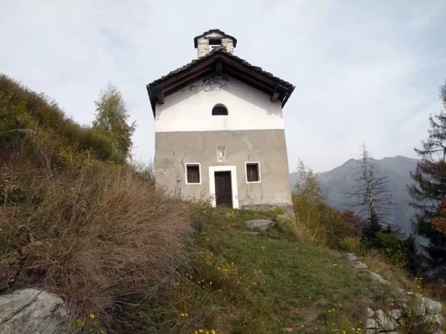
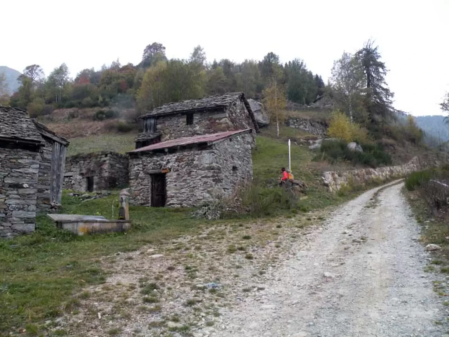
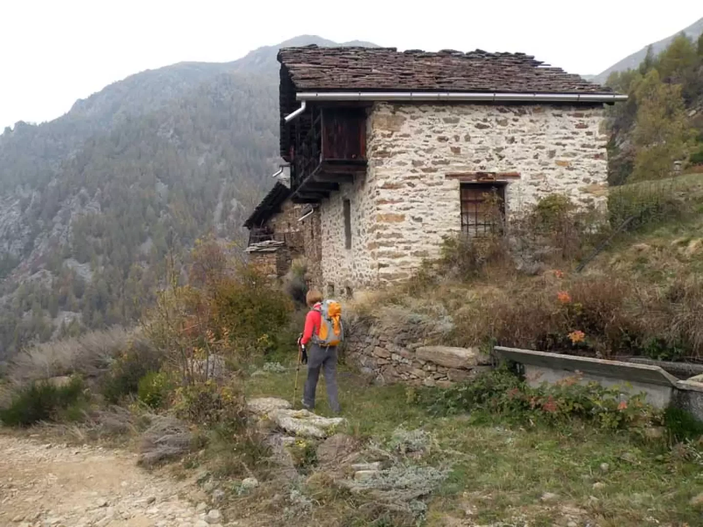
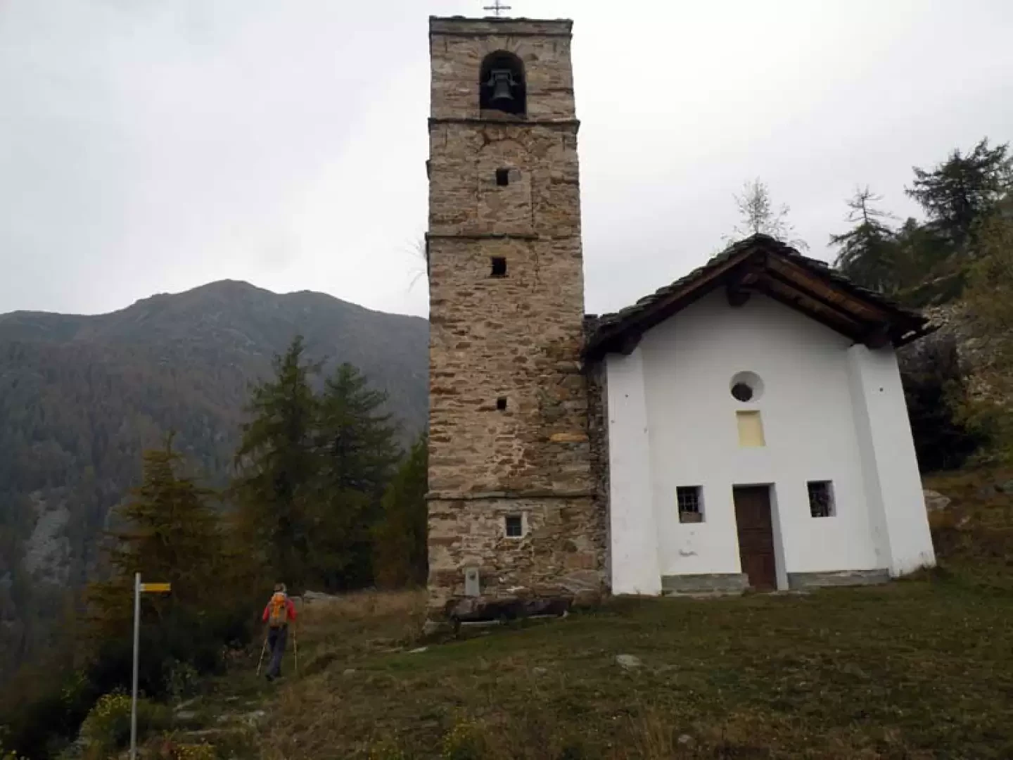
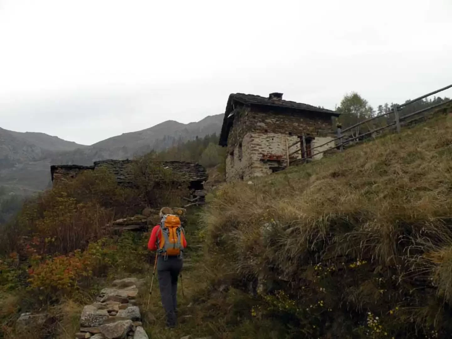
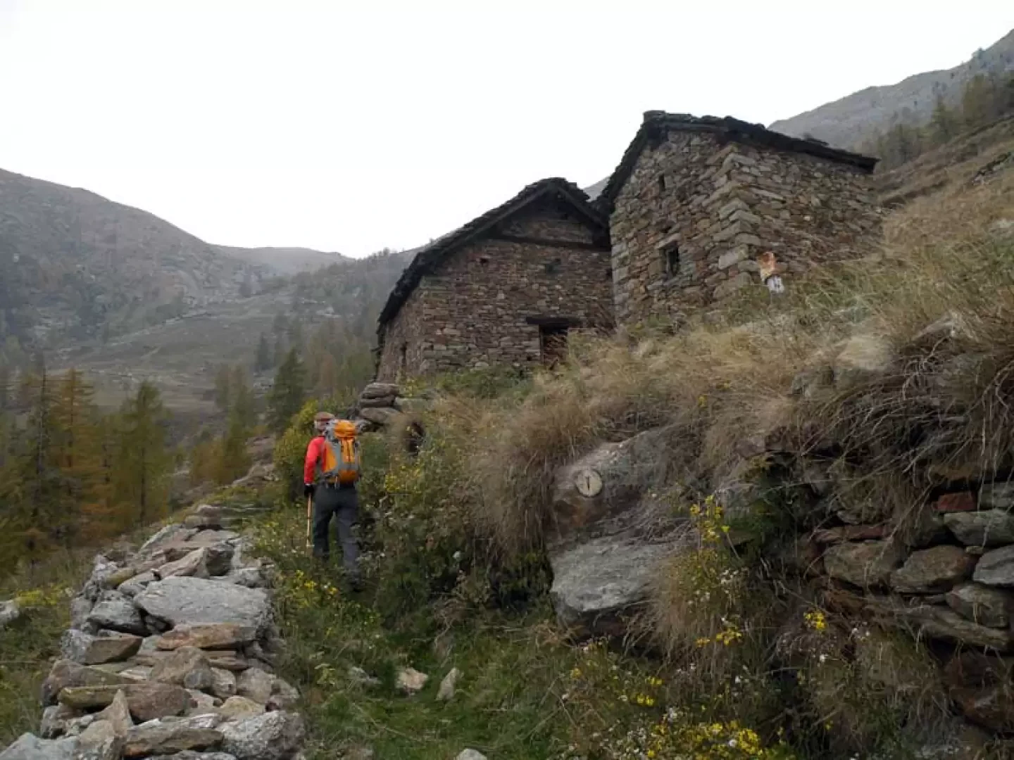
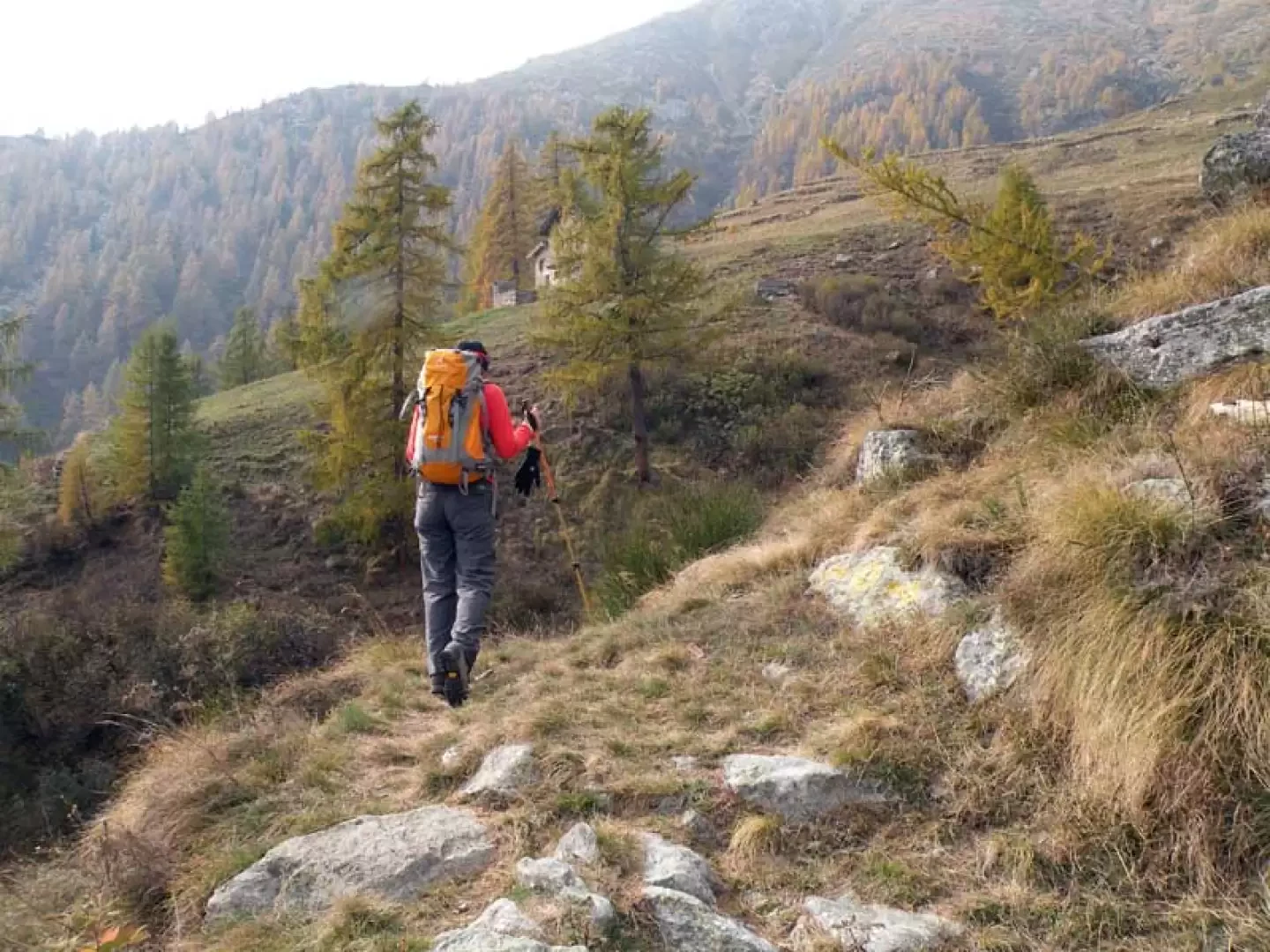
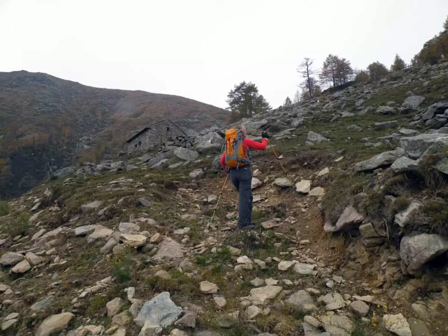
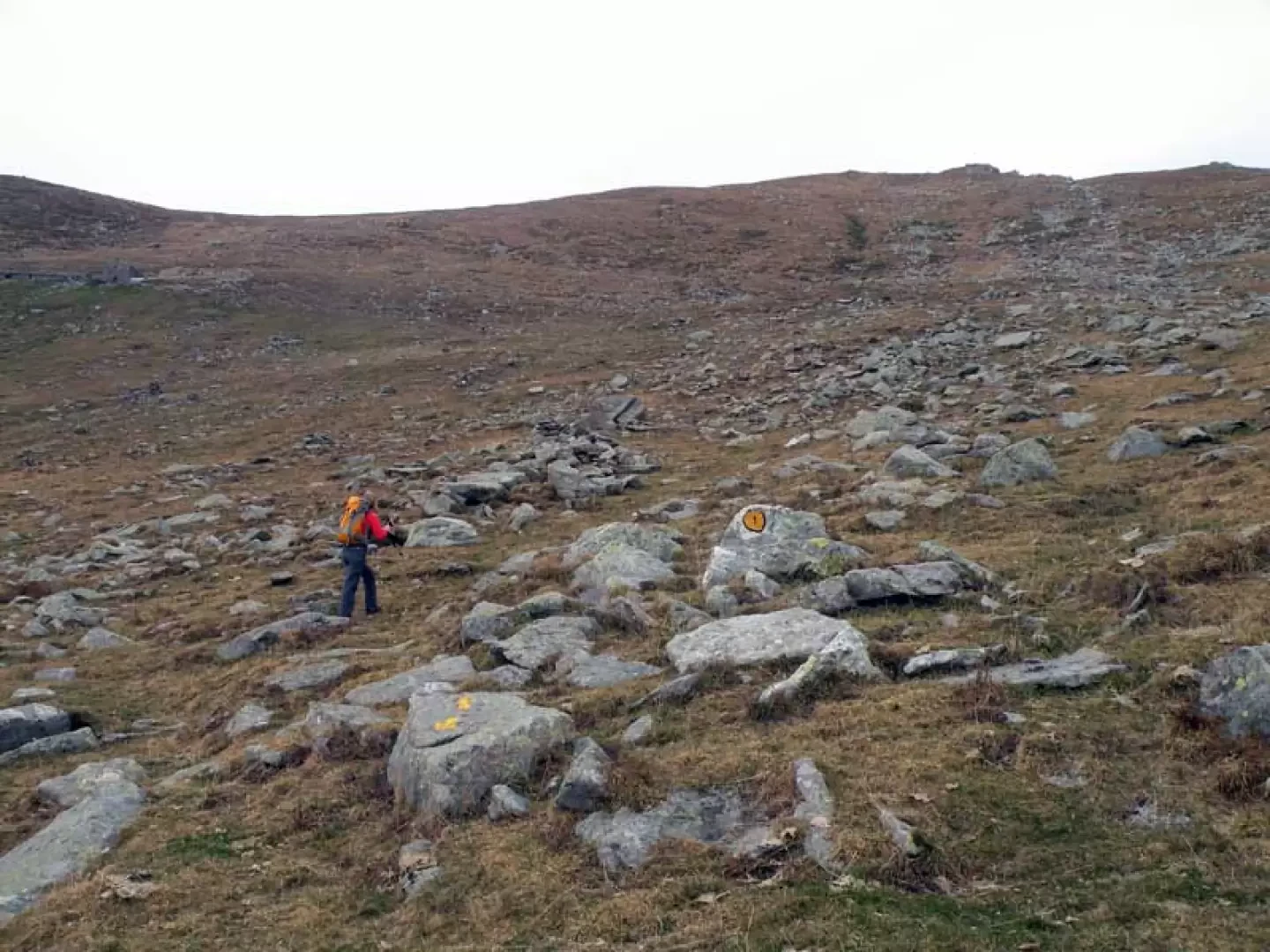
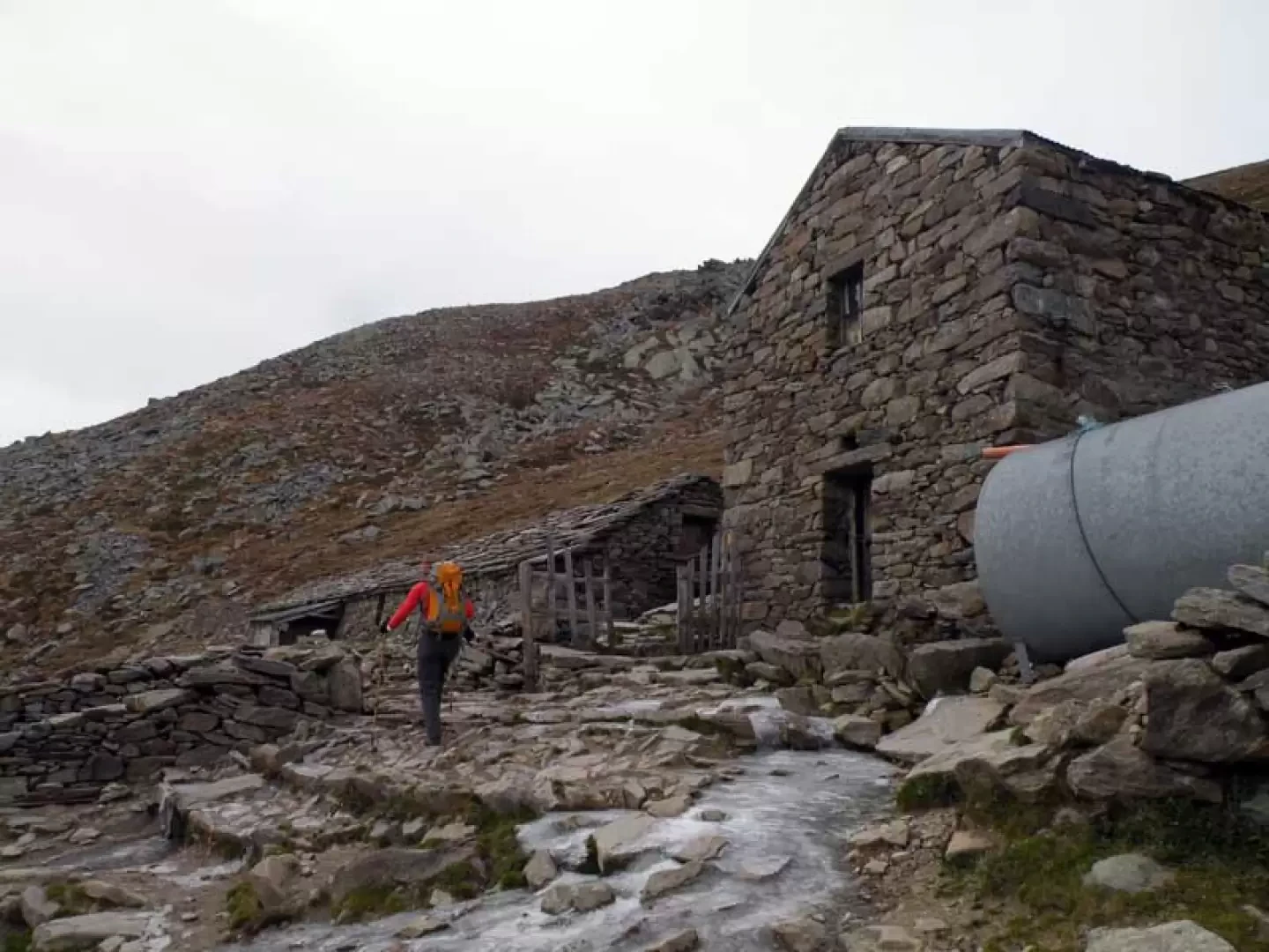
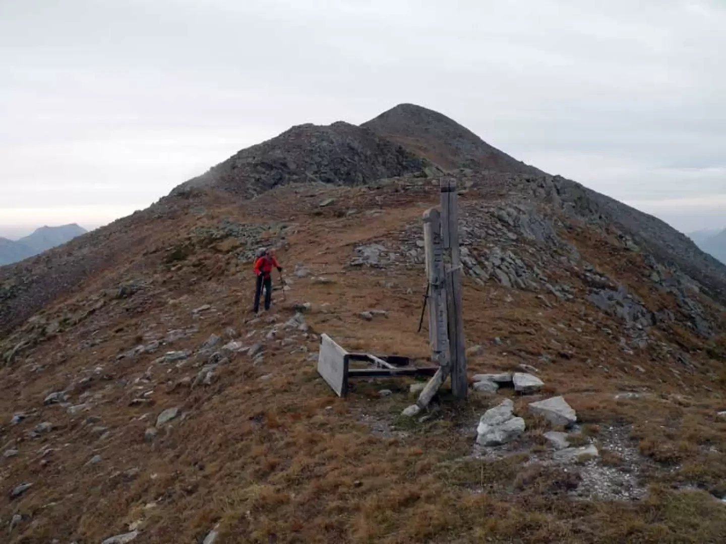
From the car park, turn back a few dozen metres towards a marker post where the path from the bottom of the valley arrives and, immediately in front of it, take the beautiful path that immediately rises with a decided slope through the sparse beech and hazelnut wood; having reached a stone retaining wall, go past the farmstead near a hairpin bend and continue to the left along the evident path now formed by stone steps flanked by a fence. Just above a mountain hut (1,404 m), leave it to the left to cross the farmstead and immediately take the path up the retaining wall. In a few minutes, you arrive at the little church dedicated to St Mary Magdalene (1456 m) located just below the Coulot huts (1466 m), which you pass on the farmstead to rejoin the path on the left at a post. The track now continues in more open spaces, immediately passing a few huts and just beyond a ruin with a trail marker, you reach the Kiry alpine pasture (1568 m) from which, looking to the left on the ridge to the side, you can see the unmistakable outline of Bec Fourà rising from the dense wood; at this point, having crossed the few houses and reached a fence with a wood placed crosswise to the direction of travel, you can take two short stretches of path, both marked with the number 1, which lead to the same point: with the first one, go over the wood and continue along a dry stone wall (yellow marks) to climb a short slope that leads to the dirt track where, after going up a few dozen metres, you reach a beautiful church, while with the second one, without going over the wood, the second, without crossing any wood, takes a right turn to cross the farm track again just above, and immediately climbs again (yellow marks) towards an evident wooden hut, beyond which, turning left, we follow a beautiful path between two small stone walls that also reaches the church dedicated to S. Pietro in Vincoli (1637). From the church, take the path that starts from the post and that, skirting a dry stone wall, takes us first past the nearby huts of Ceve (1676 m) and then the ones above of Chalasc (1744 m) on an almost flat route that cuts for a long stretch along the side of the mountain. From the Calasc huts, however, the path becomes a little steeper and climbs up a grassy rib with a sparse coniferous forest from which, at about the same altitude as a couple of huts on the ridge to the left there are two trail markers at two different altitudes (1782 and 1791 m) which take us past the stream and onto the ridge to the side; the first is well signposted with visible yellow arrows, while for the second only the marker is clearly visible while the arrow is now faded: although the track continues well visible, but not marked, on the rib it is worth crossing the stream at the bottom at the markers because further on its bed becomes a little impassable. Walk along the ridge, which is also a little steep, to reach the farmstead again near the Prial desot mountain pasture (1964 m) and walk along it to the right for a few metres to take the path again that reaches another well-visible hut located just above; go past it on the right and, having reached the end of the farmstead, continue along a stepped stretch that passes by some small hydraulic works protected by fences and, with a constant gradient, reach the upper part of the valley: from Prial desot onwards, the path loses itself for long stretches in the grass, but the trail markers are always clearly visible. When you are almost at the bottom of the head of the valley, turn left to reach the clearly visible Prial damon pasture (2252 m) behind which the track continues to climb the short stretch that separates it from the Prial pass (2341 m) where there is a wooden cross. We now turn right and ascend slightly to the right the wide ridge that, still with the track that is lost in the grass, leads to a high cairn of stones located a few metres below the summit that is reached without difficulty.
Photo gallery

Comments (0)
Sign in to leave a comment