Mont Chenaille, from Plan Debat


Edited by:
Benedetto Lorusso
Updated at: 14/06/2025
Introduction
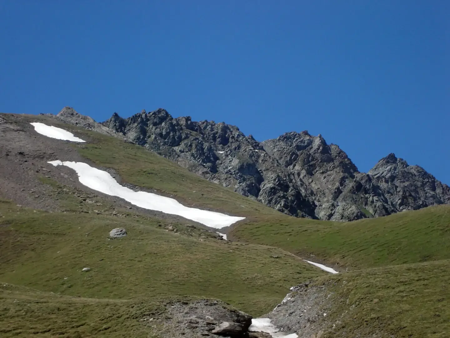
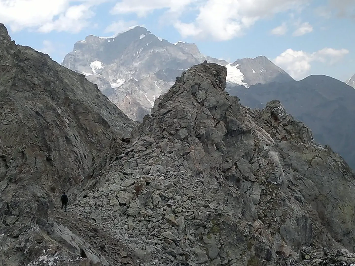
Route on path to the Champillon pass, then on scree and rocks. Up to the south summit, the route is marked by cairns.
Description
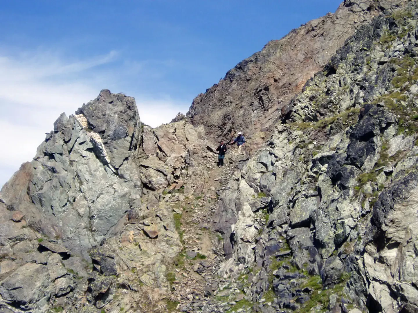
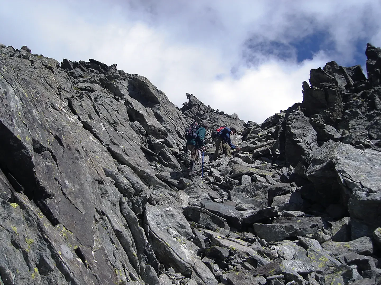
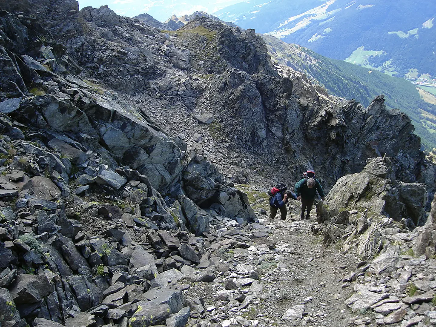
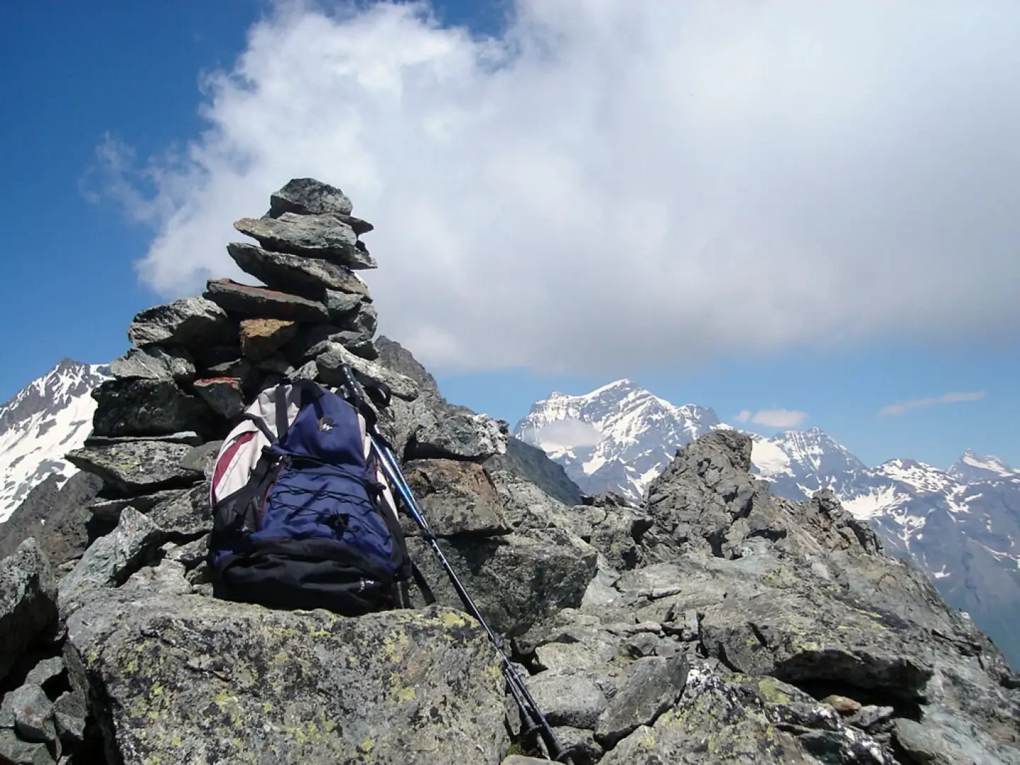
From the Plan Debat car park, follow the well-marked path to the Champillon pass. Just before it, climb to the right on the grassy crest, which can be passed directly or on poor tracks to the left on small rocks to the cairn at an altitude of 2991m where the rocky ridge begins. The ridge is easy but mountaineering. It is easier to pass on the Etroubles side, where some cairns indicate the way. Pass two saddles and reach the debris leading to the anticima. The beautiful and comfortable ridge leads to the cairn of the south summit. Here the cairns cease.
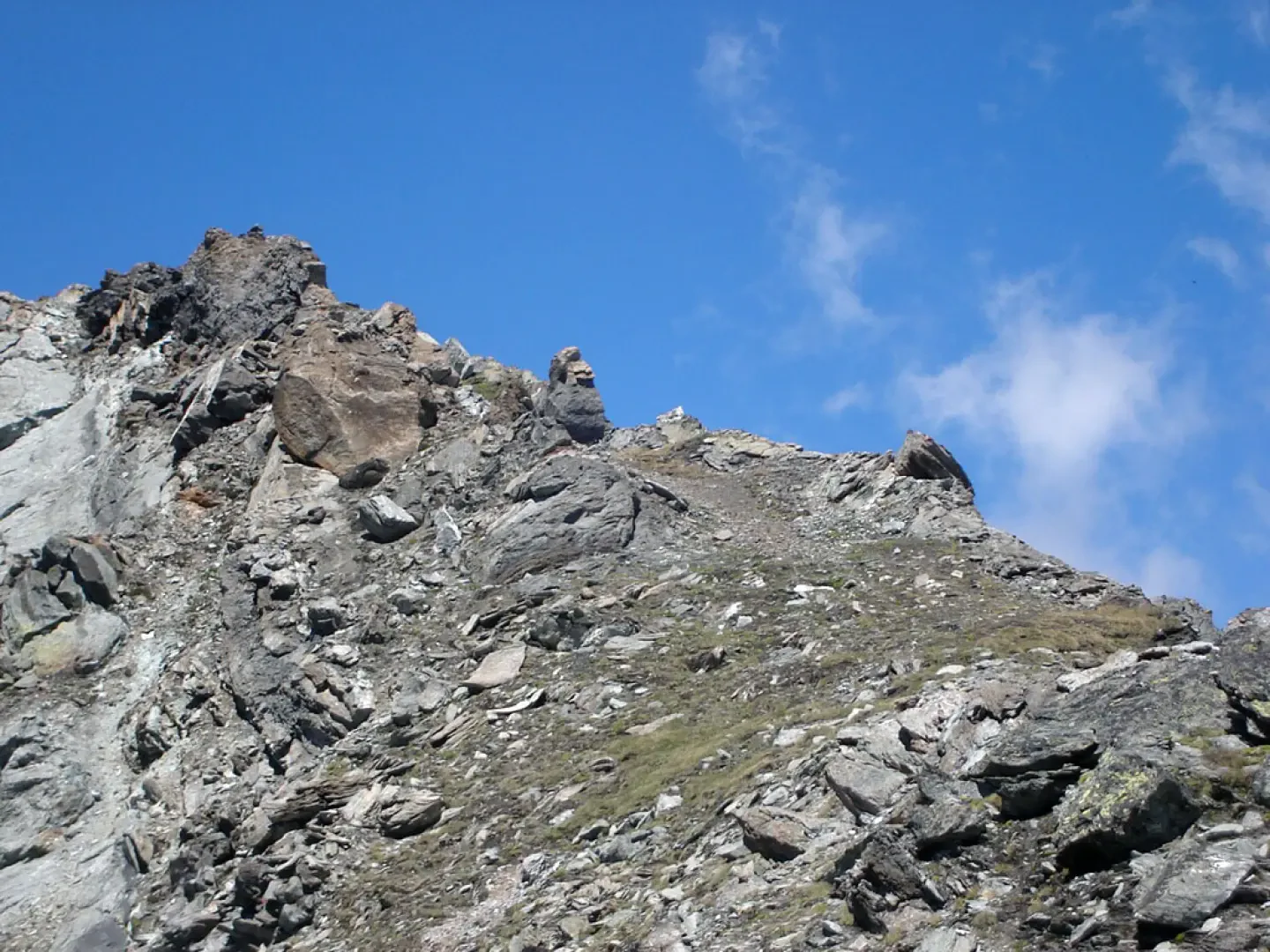
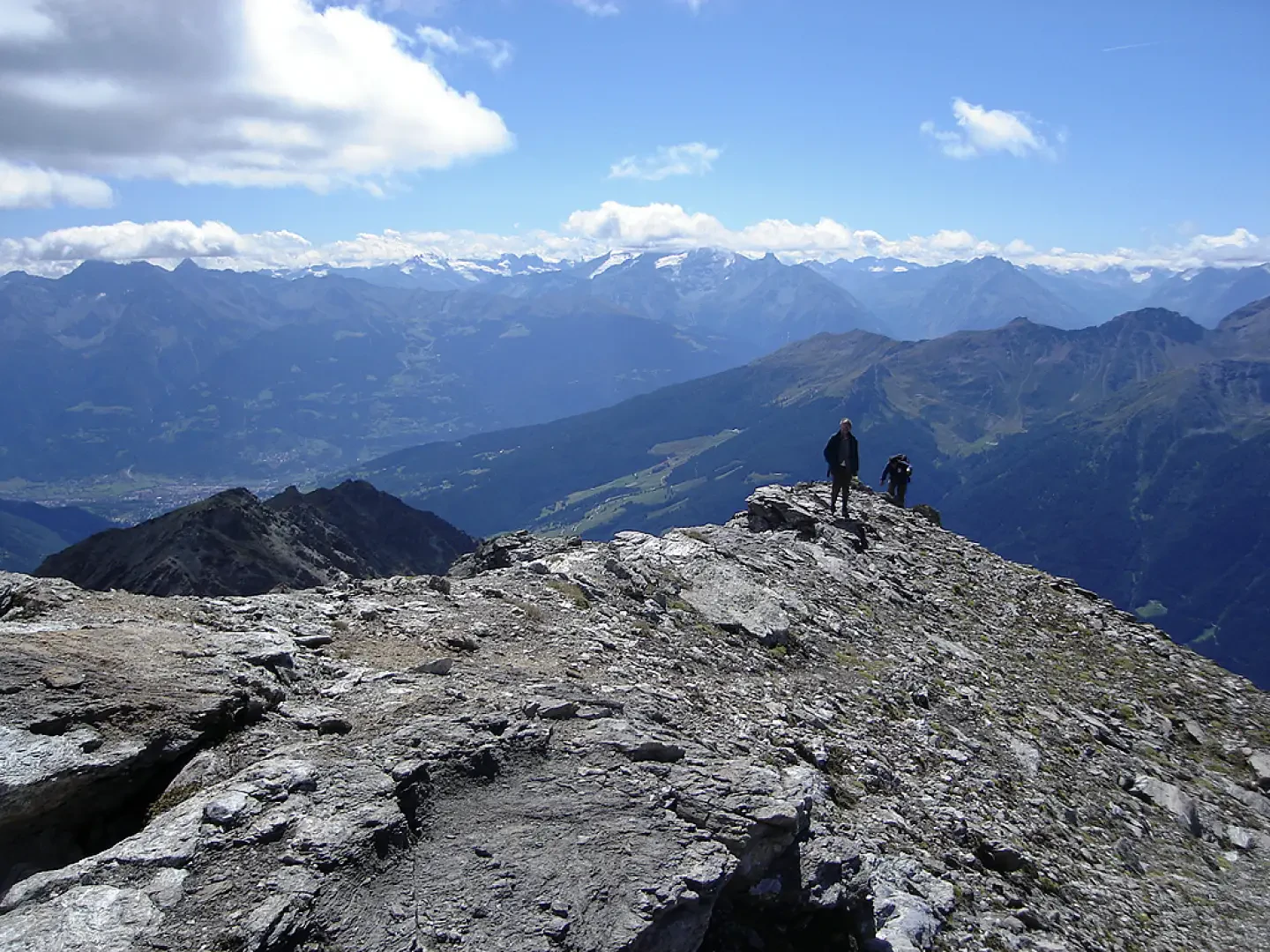
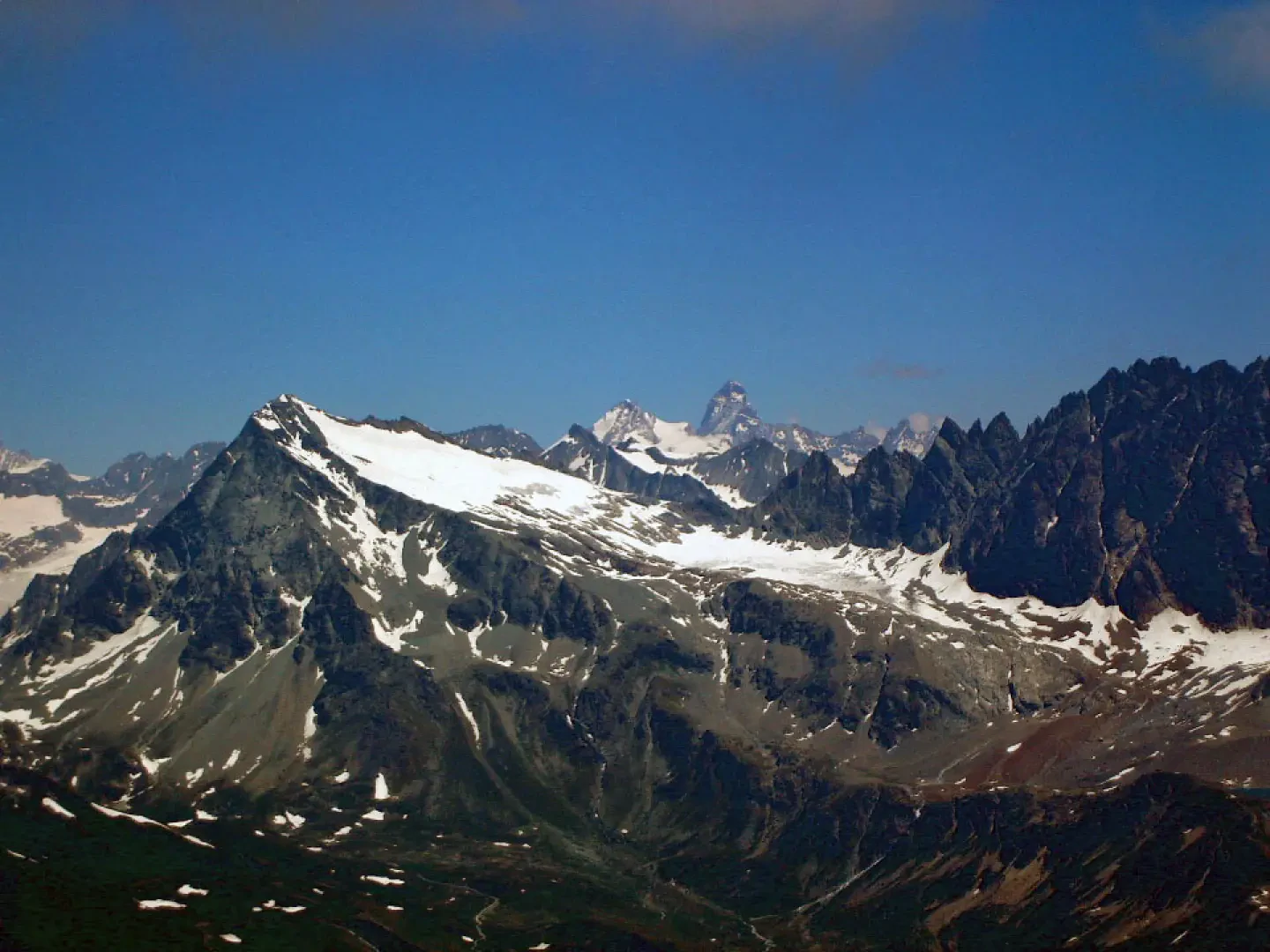
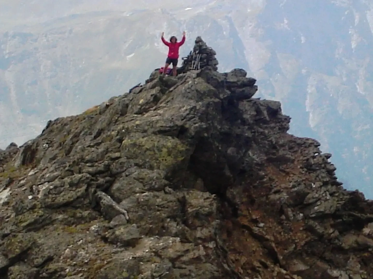
You descend to the saddle between the South and North summits either directly on small rocks or by descending into the gully between the two summits. From the saddle, climb easily up to the small cairn on the North summit. Wonderful views of Mont Blanc, the Grand Combin and the mountains of Valpelline, as far as the Matterhorn. To the north looms the Tete de Crete, with its rocky slab that seems inaccessible from here.
Photo gallery
Comments (0)
Sign in to leave a comment