Mongioia, from Sant'Anna di Bellino


Edited by:
Rita Tarussello
Updated at: 09/05/2026
Access
Torino-Savona motorway, exit Marene-Bra. Take the SP662 to Savigliano and turn left at the roundabout for Costigliole Saluzzo. Follow signs for Valle Varaita (SP8) and follow it as far as the village of Casteldelfino. Staying on the provincial road, just before a hairpin bend turn left for the Bellino valley. Follow it as far as the village of Sant'Anna (1840m) where the road ends. It is possible to park near a small church or, continuing for a few hundred metres, just after the bridge over the Varaita stream.
.Introduction
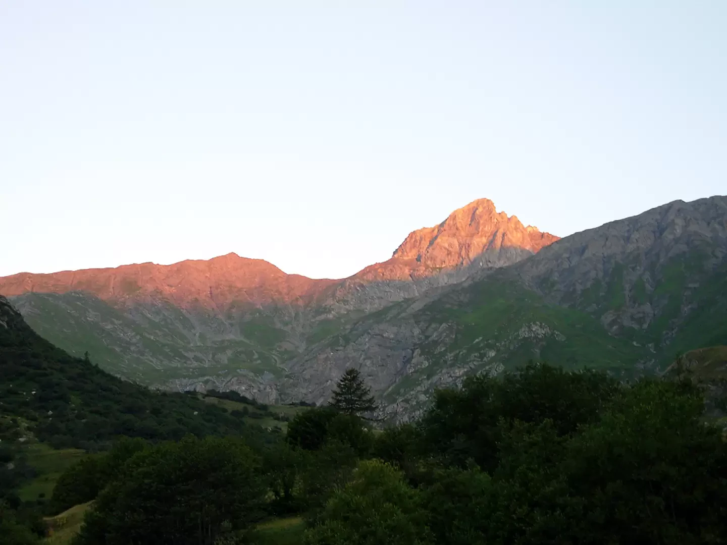
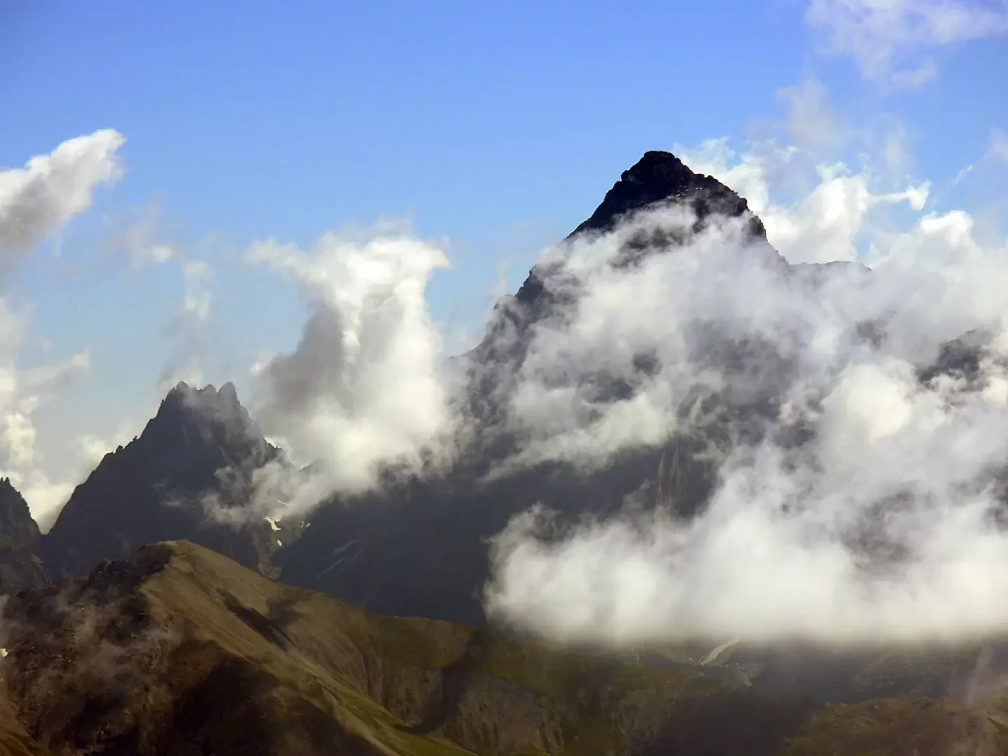
From the start there is a magnificent view of the upper Bellino valley, at the head of which the Pelvo di Ciabrera towers. It is a good idea to start the hike early in the morning, both to admire the magnificent colours of the mountain and because the route has quite a long way to go.
Description
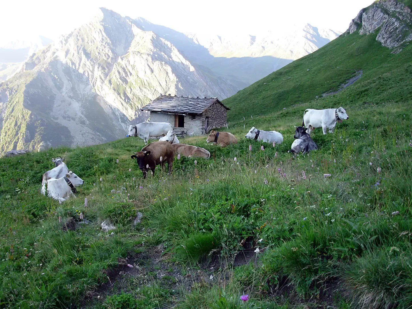
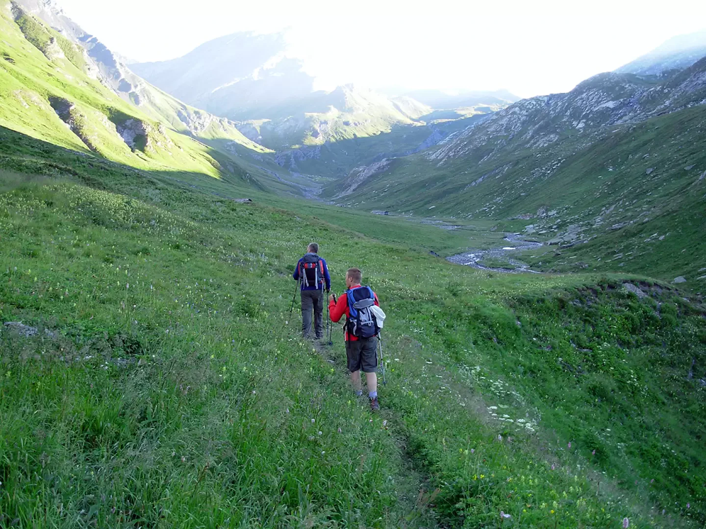
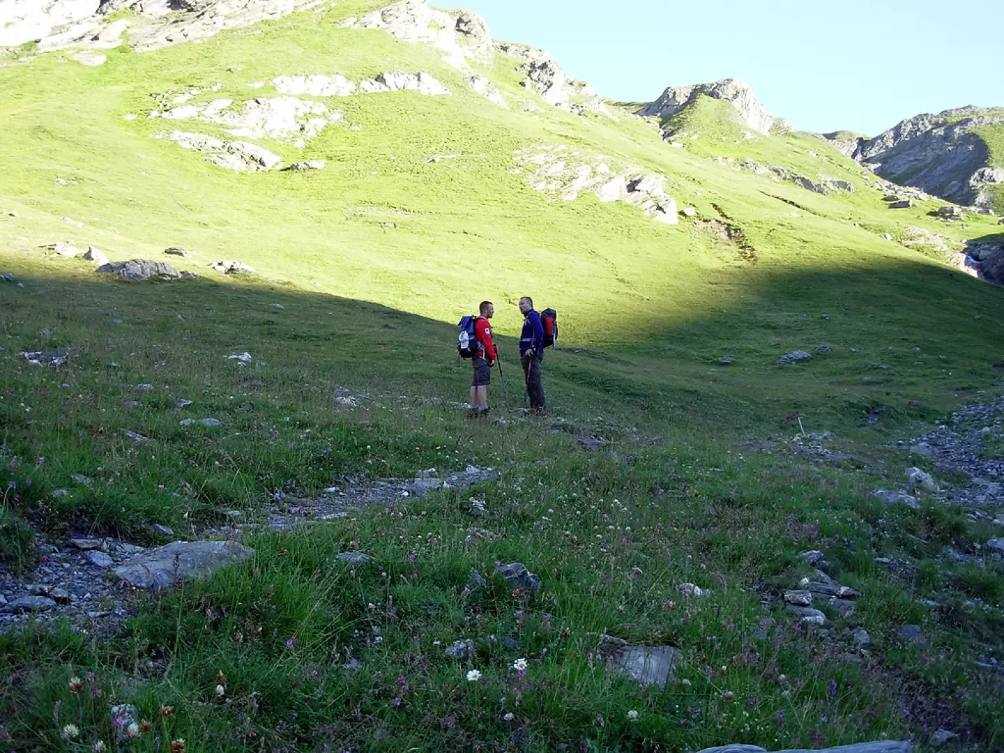
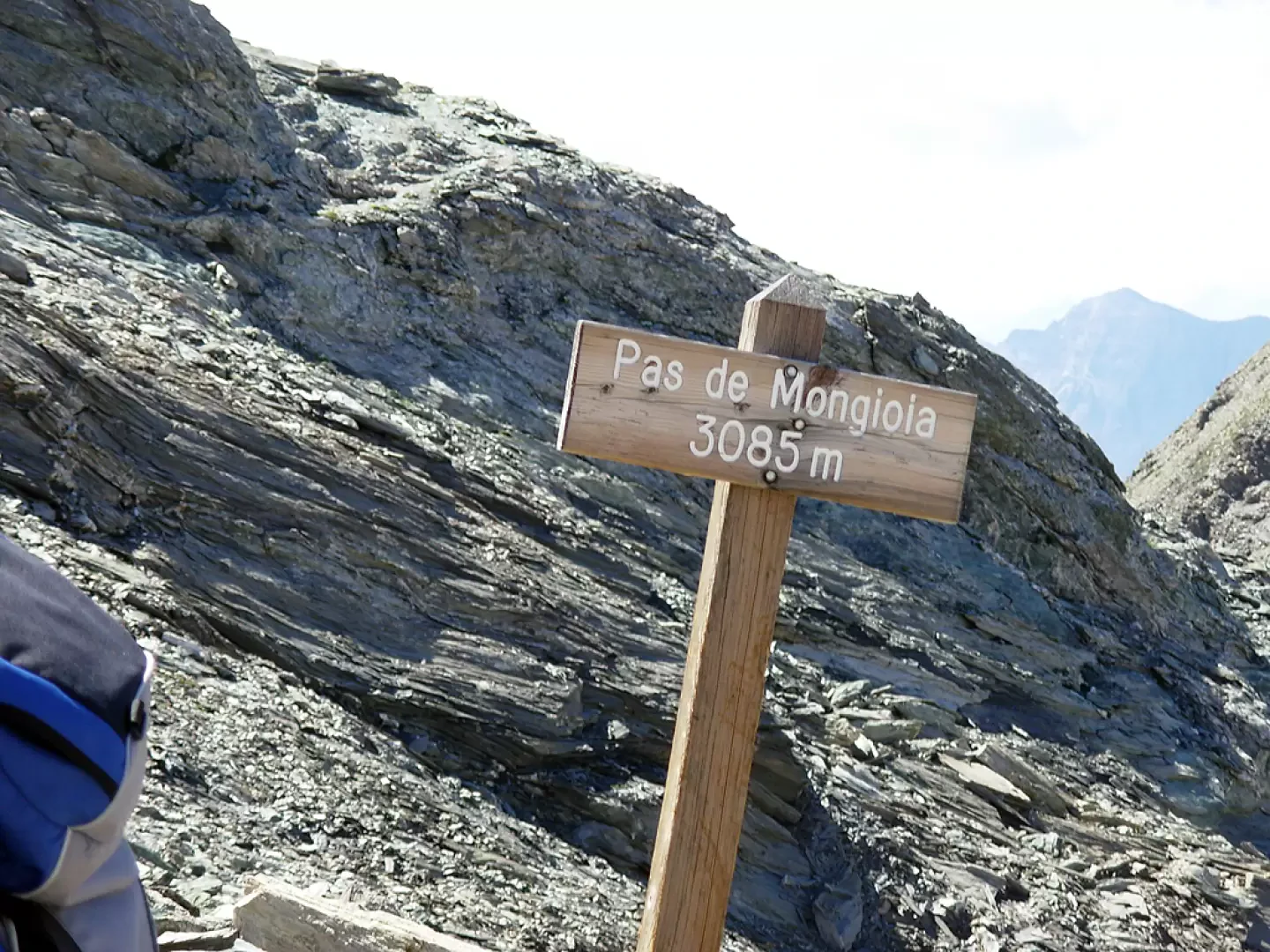
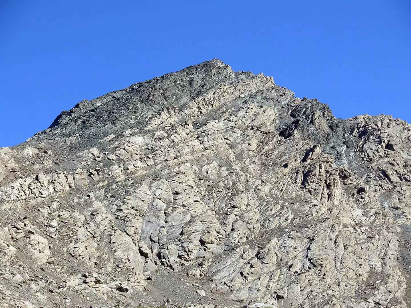
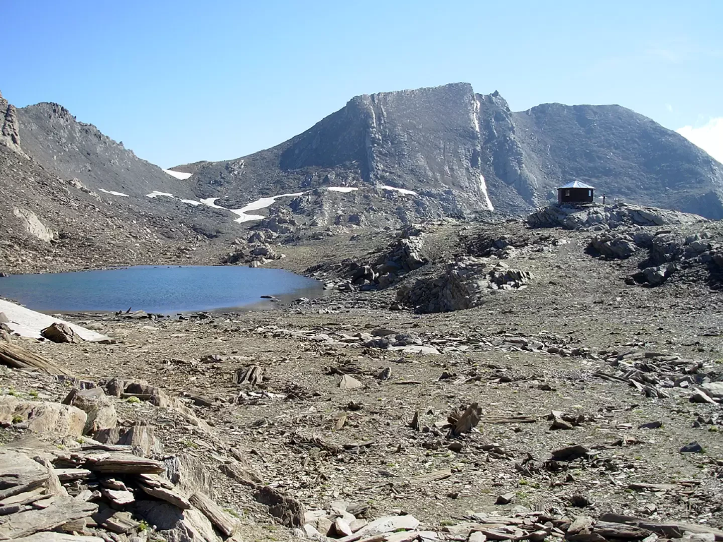
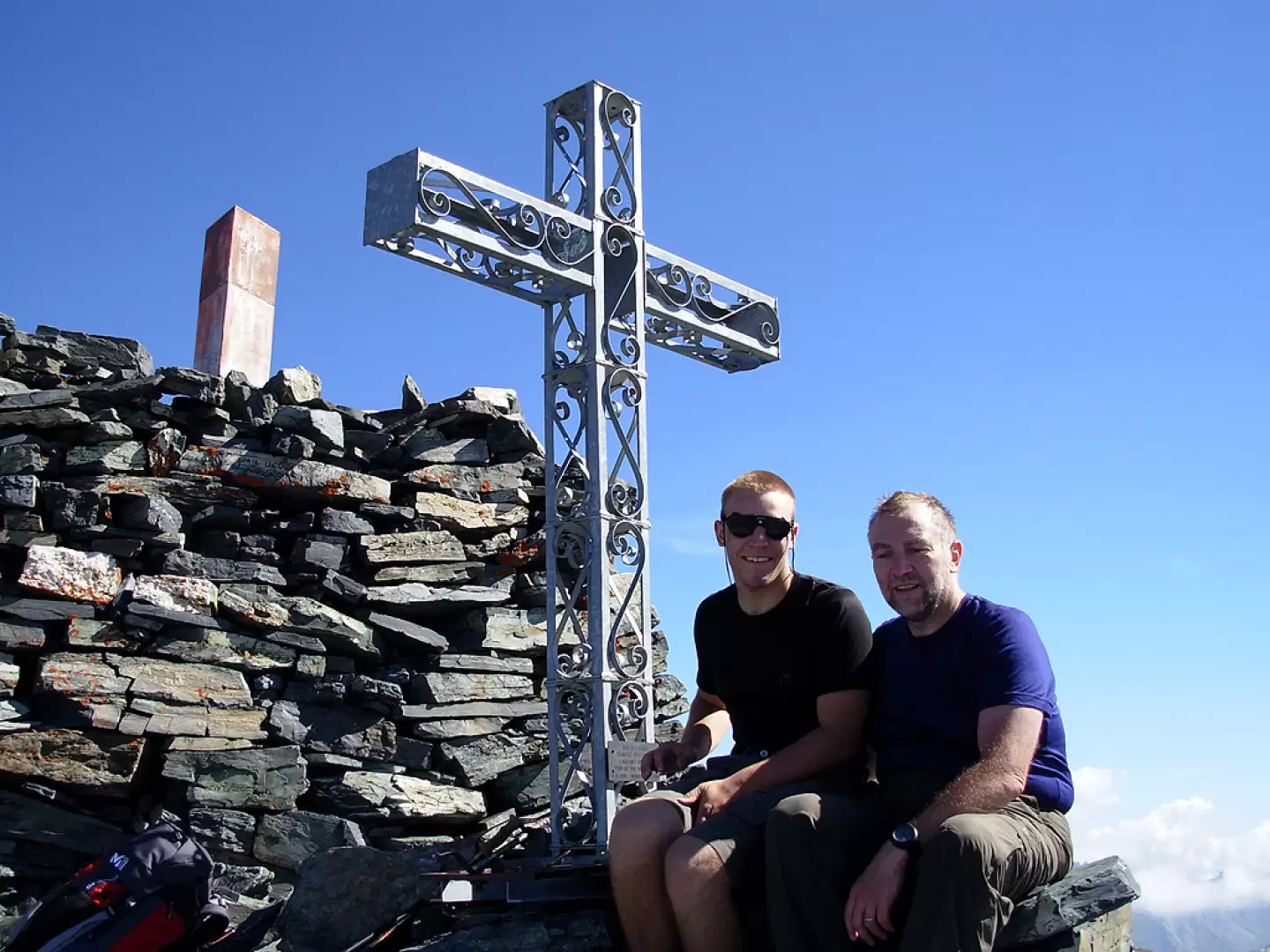
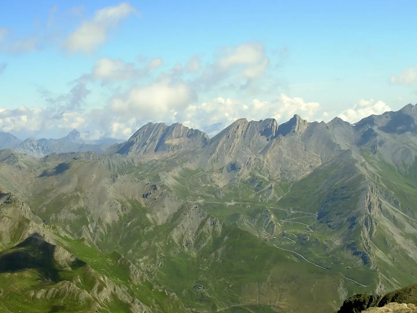
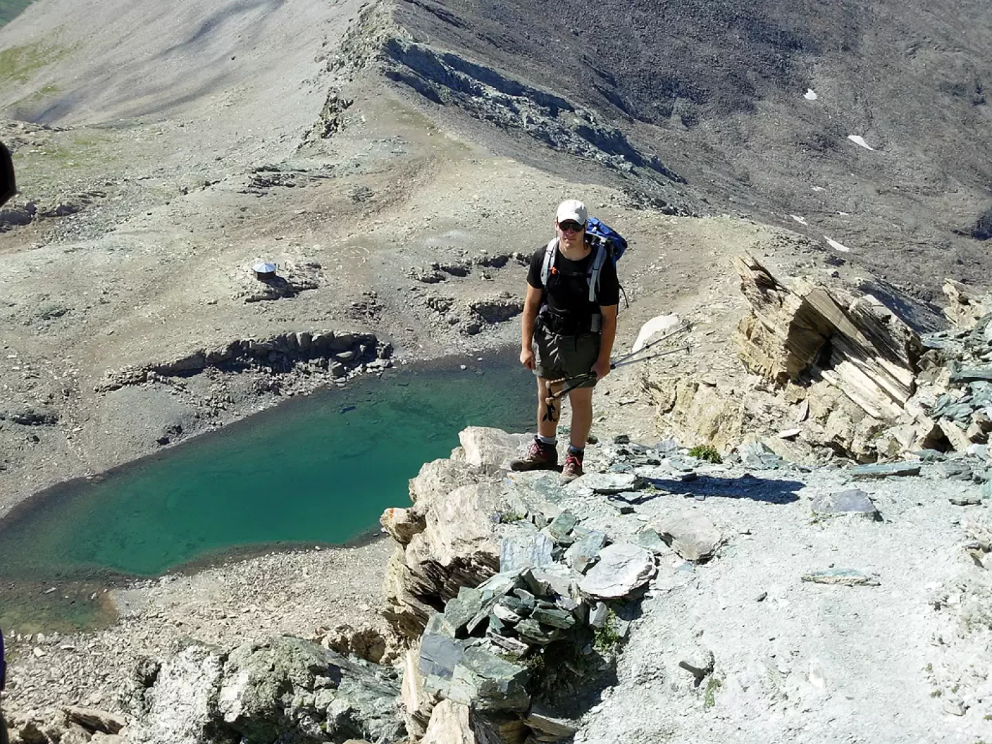
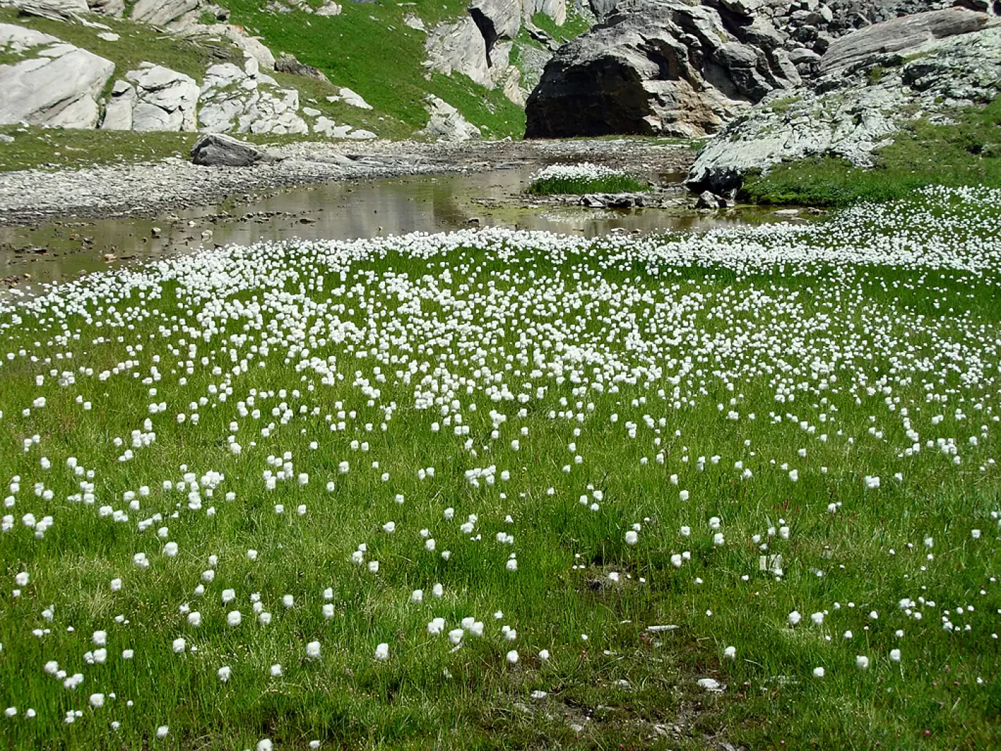
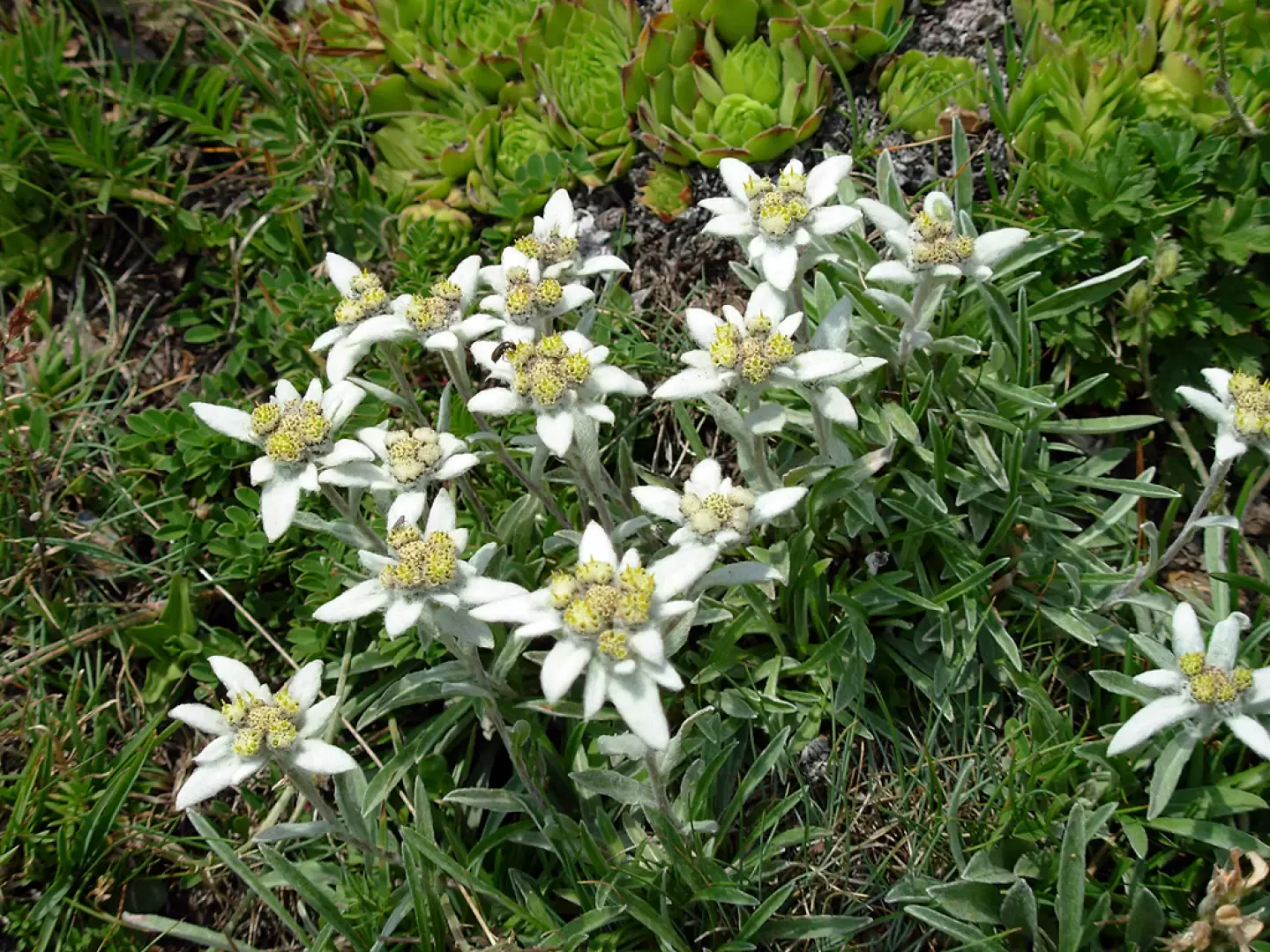
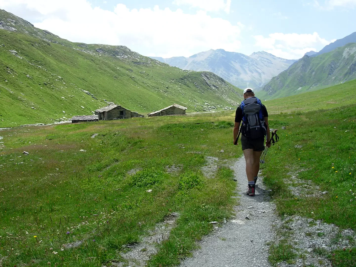
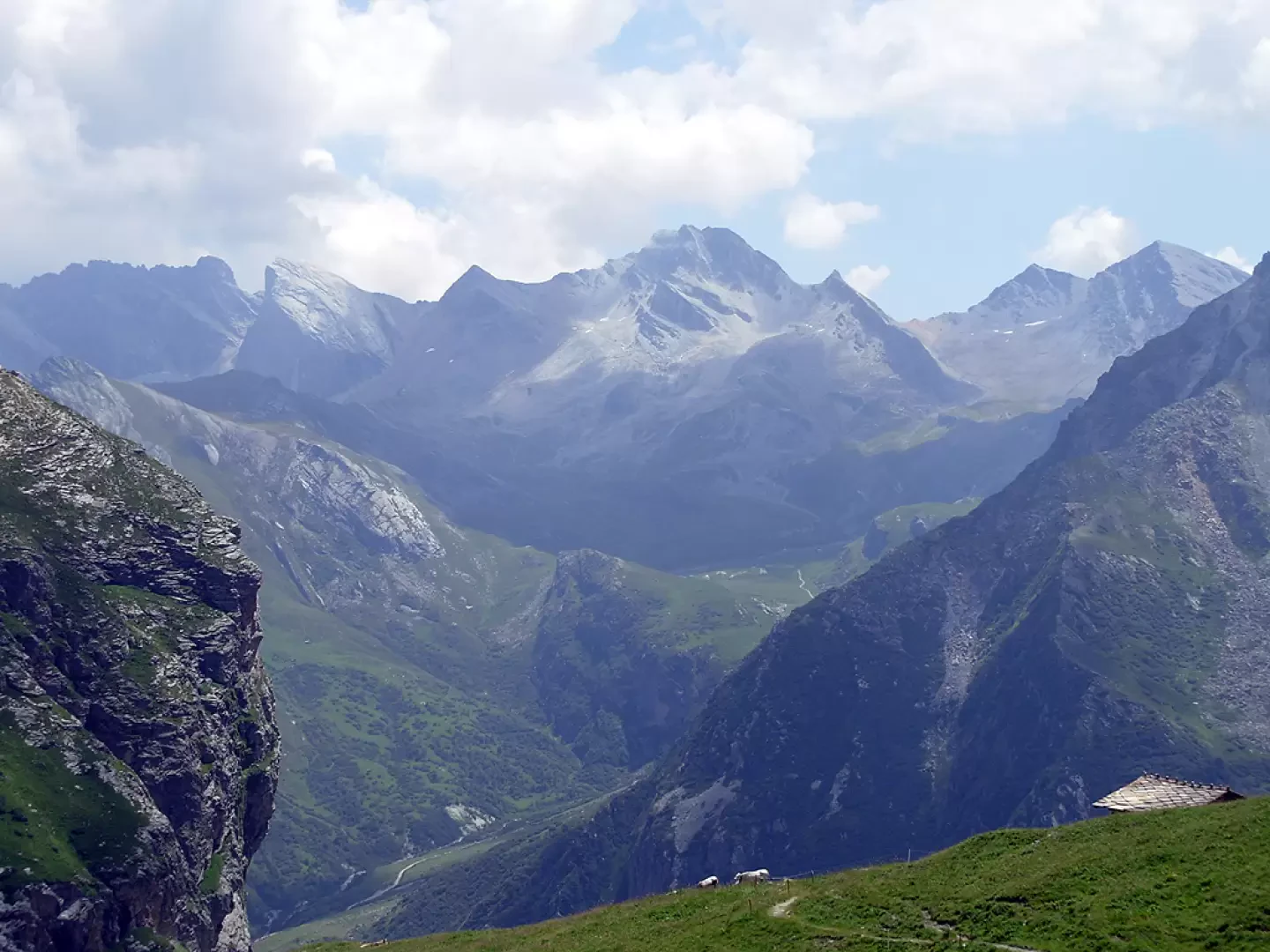
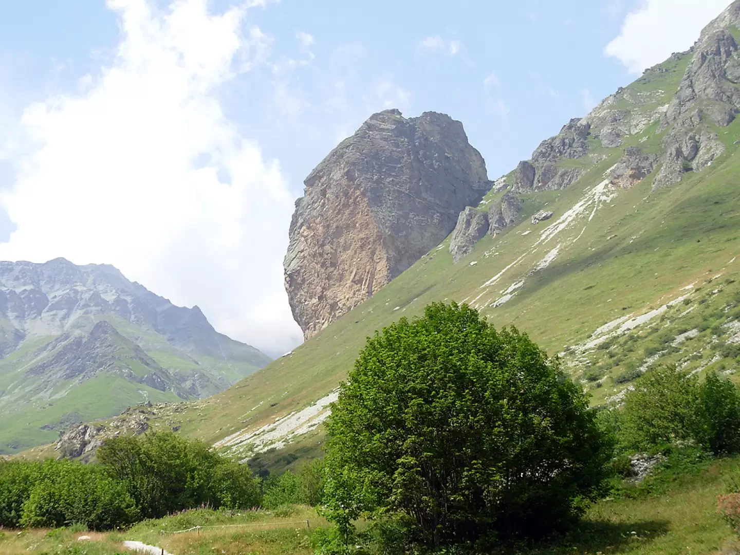
From the car park, follow the stony mule track through the pastures to a crossroads that leads left to Pian Ceiol and right to the Fiutrusa pass and Monte Mongioia. Take the right-hand path that shortly leads to Grange Crouset (2020m) located below Rocca Senghi and continue halfway up the mountainside until the path descends to cross the Varaita di Rui stream on a small wooden bridge. From here begins a tiring climb that zigzags its way up to some mountain huts. The route follows the hydrographic right bank of the Vallone di Rui and the stream of the same name until the signposts placed on a stone indicate the way to the Fiutrusa pass on the right and the way to Monte Mongioia and Bivacco Boerio on the left. We then ascend the grassy slope until we come to a watercourse and a waterfall, which we cross on a steep slope. At the head of the waterfall, there are gently sloping flowery meadows, past which one moves to the right until reaching a second hollow. Turn left under rock walls and a scree slope to reach another beautiful basin where a small lake full of eriophoras is found. Continue along an escarpment above which is the Col de Rubren (3053m) and, following the border ridge in a northerly direction, you arrive at the Mongioia pass (3083m) from where it is possible to admire the Mongioia lake and the beautiful Boerio bivouac, built nearby. You leave the lake on the right along the ridge following the red marks. One moves to the right towards some rock faces following a long diagonal under the south ridge of Mongioia. Below the summit, it is necessary to overcome two somewhat exposed but overall easy stepped rocks until reaching the summit cross.
The descent follows the same route as the ascent.
General Information
Route:
Signposts: U26
Type of route: a/r
Recommended period of time: July, August, September
Objective hazardslippery passages
Sun exposure: south
Exposed sections:below the summit
Water: possibly at the mountain pastures, but it is a good idea to stock up before setting off
Photo gallery
Comments (0)
Sign in to leave a comment