Mandaz, from Cotetta


Edited by:
Maria Grazia Schiapparelli
Updated at: 15/05/2026
Access
Leave the motorway junction at Pont-Saint-Martin (Via Circonvallazione) and proceed in a northeasterly direction for 110m (0.11km). Turn left onto the Valle d'Aosta road and, after 24m (0.13km), turn slightly left onto the [SS26] in the direction of Aosta. Continue for 500m (0.63km), until you reach a roundabout; then take the second exit and stay on the . Continue for 2.2km (2.83km) to the next roundabout, take the first exit and stay on the . Continue for a further 3km (5.83km) to a new roundabout, where you should take the third exit and stay on the Valle di Champorcher regional road.
After 300m (6.13km), at the next roundabout, continue straight on Via Aosta and continue for 500m (6.63km). Continue on Via E. Chanoux, which becomes the regional road , and follow the regional road for 7.3km (13.93km), going up the valley and through the villages of Hône and Pontboset, until you reach the section covered by the avalanche barrier. Just before leaving the covered section, follow the signs for Delivret and Fournier, then turn left and continue for about 4.2km (18.1km) to the end of the road. Here you will reach a small fractional car park 🅿️, near Cotetta, which is part of the locality of Fournier, also comprising the hamlets of Barettes, Barbafumo and Verney.
Access by public transport
To reach the starting point of the itinerary, a private vehicle is indispensable, as the locality of Fournier is not served by direct public transport links.
Distance and travel time
🕒 Travel time:29 minutes
📏 Distance: 18,1km
GPS navigation
📍 How to get there with Google Maps
📍 How to get there with Apple Maps
ℹ️ Important note
The information provided has been checked on the date of the survey of the route. Before departure, it is advisable to check possible changes in the route or road conditions. Please consult Google Maps or Apple Maps for the latest information.
Introduction
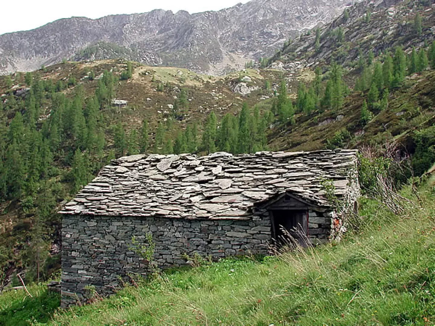
Mandaz is a succession of innumerable groups of houses, some still in good condition; there is a school dating from 1888, several fountains and, high up, large pastures, now abandoned huts and a few small lakes; it is a journey into the past, a harsh past, because if there was a school, it means that people lived here all year round.
Description
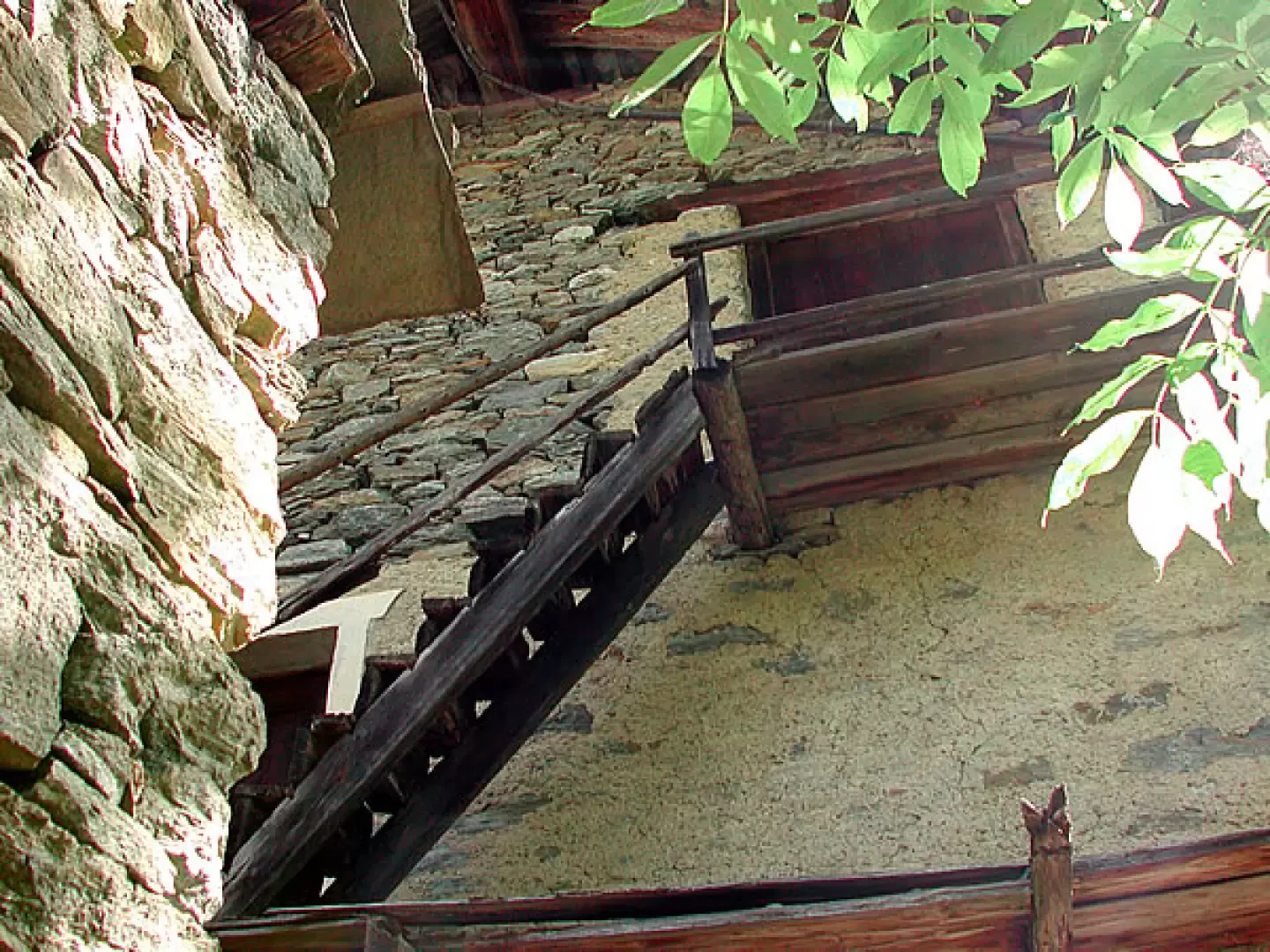
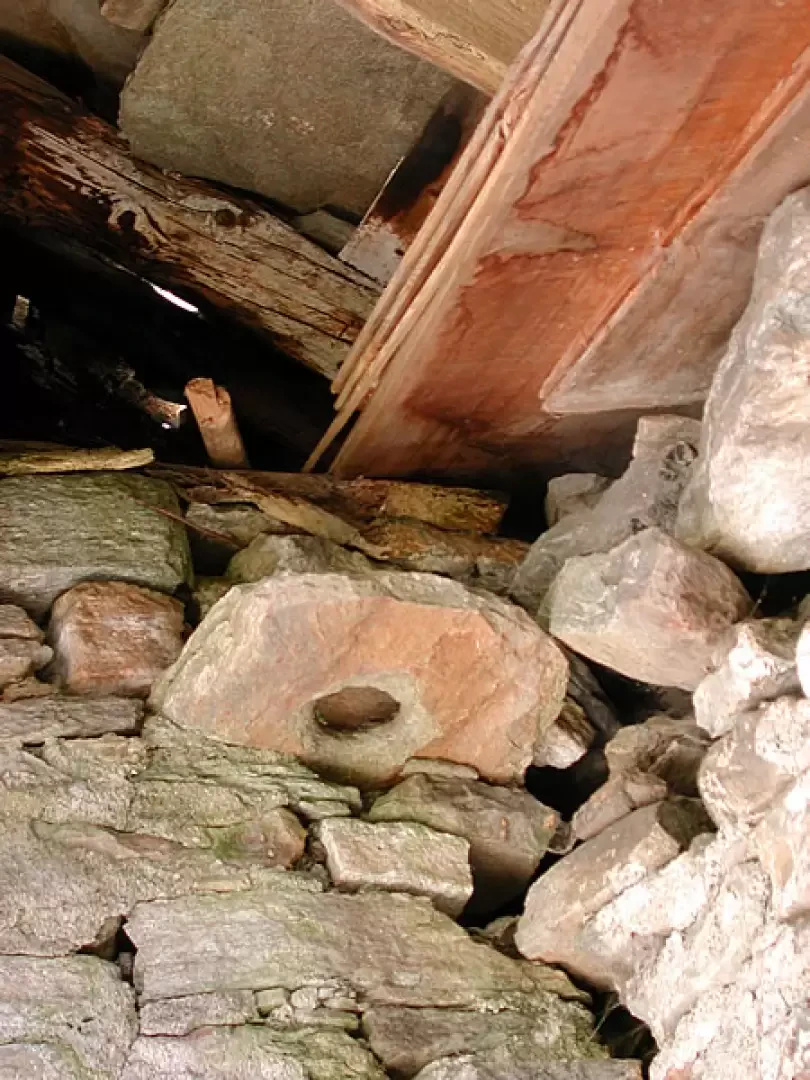
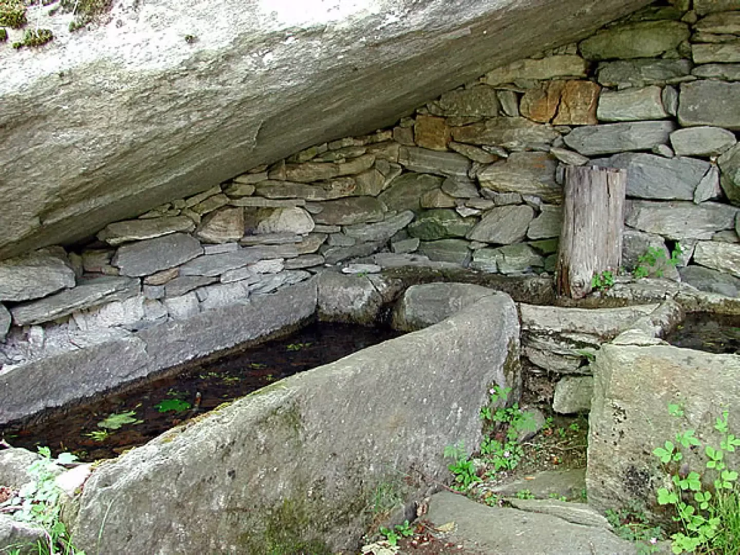
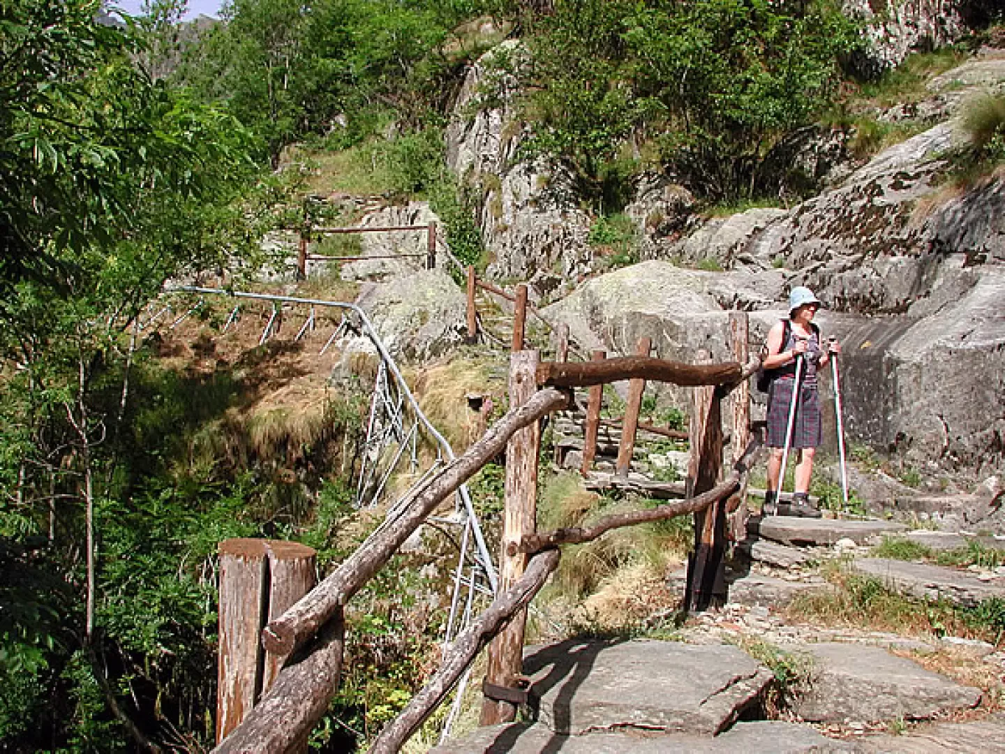
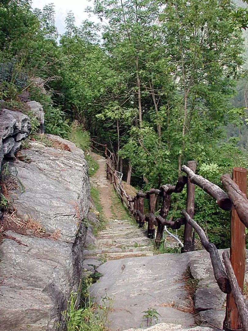
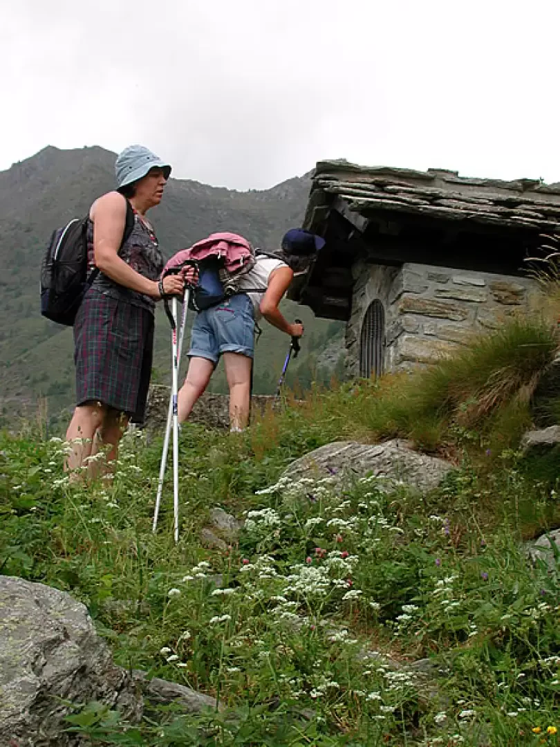
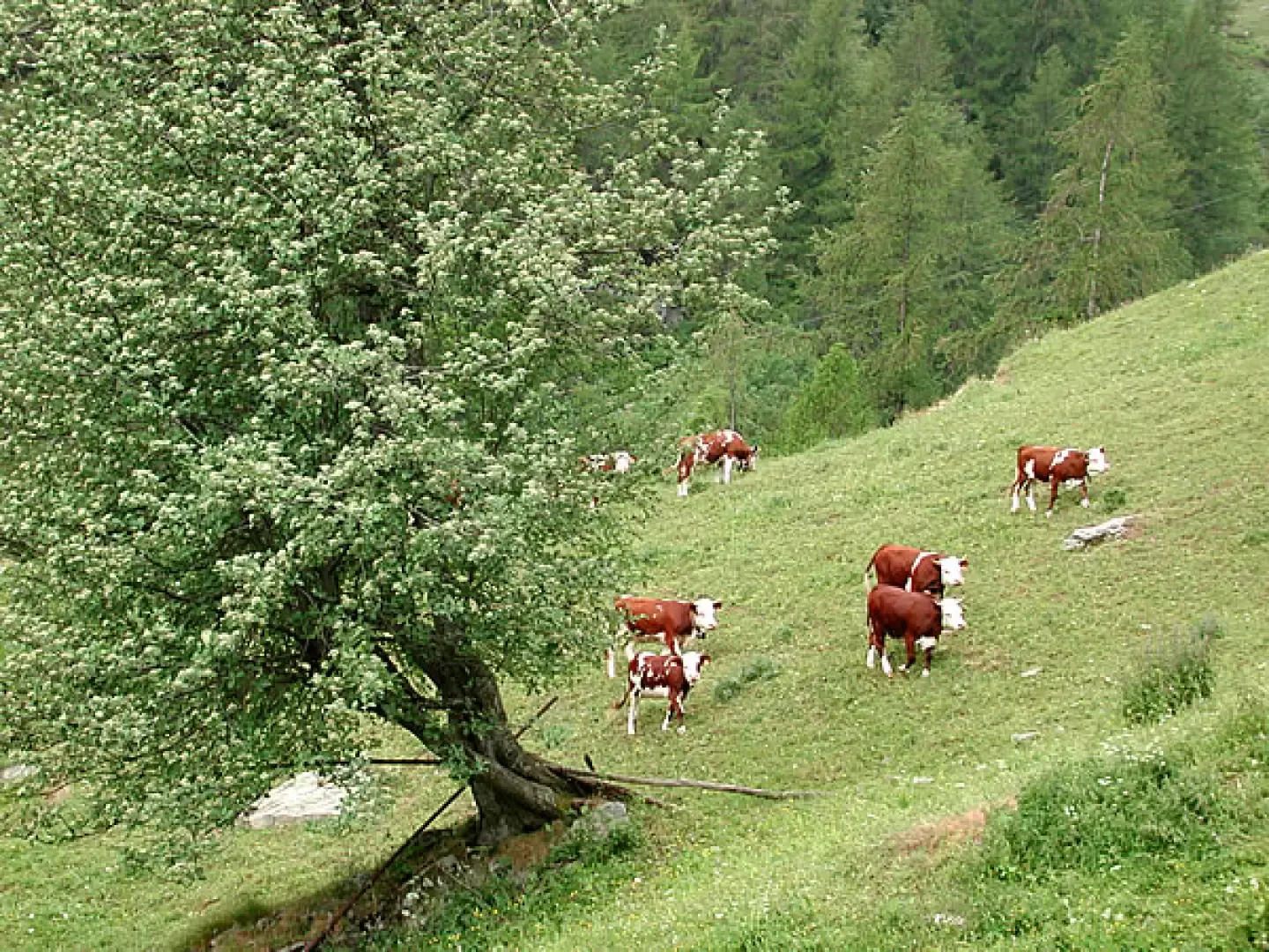
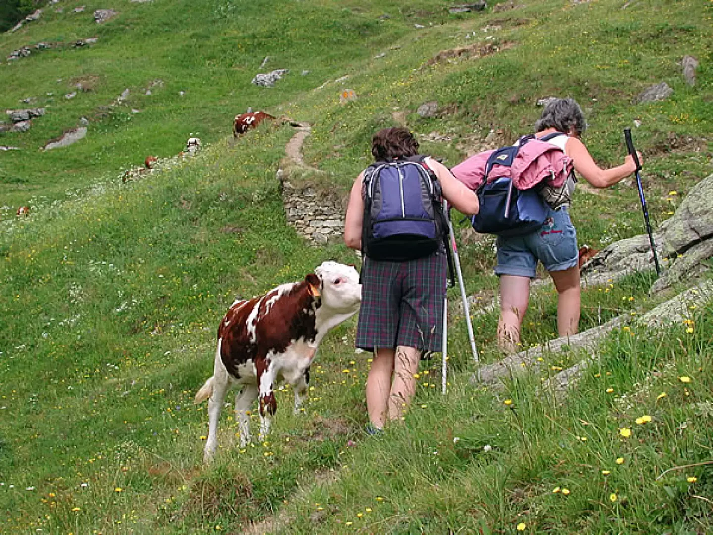
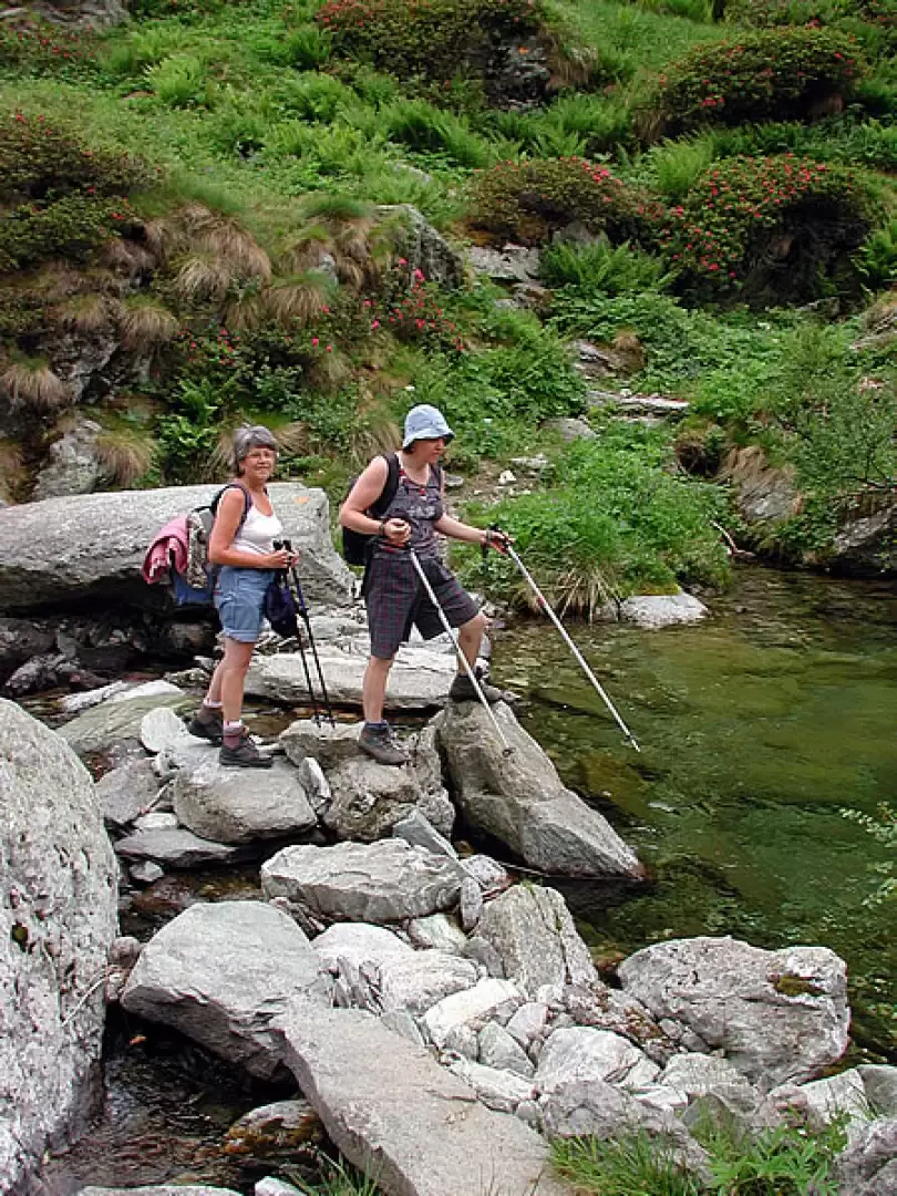
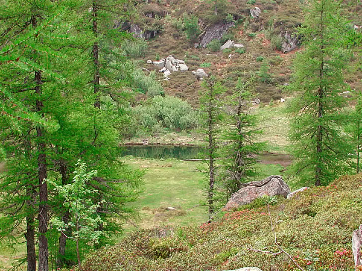
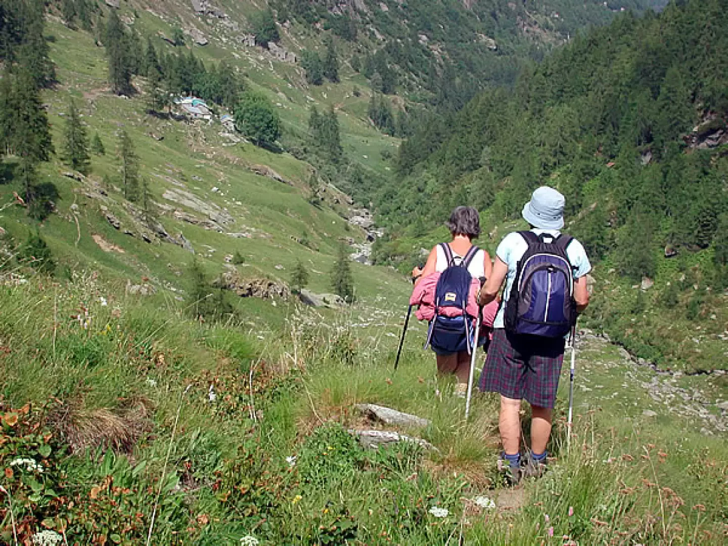
As soon as we leave the car, the mule track passes between the first houses. The dwellings were very beautiful, some of them multi-storey, with fine details of rural architecture; we encounter rascards with classic stone mushrooms to support the construction, insulating it from rodent incursions, a fine spring, a small church, the school, the bread oven, beautiful stone arches on the doors, another spring, stones set into the supporting walls to facilitate the ascent of those who cultivated. The mule track is wide, and from a certain point onwards is flanked by a monorail serving the mountain pastures. We continue to climb up to the ruins of the la Frete oratory, passing between large stones smoothed over the centuries, among which beautiful red lilies light up in spring, we arrive at a small chapel, Boset Desot (there is a date, 1737) and then Boset Damon, which were probably the oldest settlements. We are at 1567 metres reached in about an hour; the time depends on the stops along the way, and there are many things to look at. A beautiful herd grazes on the flowery meadows; the path comes to a fork, follow the track to the left and ford the stream; some little goats accompany us for a while. We now climb up through dense vegetation, bypassing the Bec Chaty on the left, and pass in front of a large abandoned house, until we reach a hollow where the Lac Sec, almost completely buried, peeps out among the larches; the path is not very evident at times, a few yellow marks help us to disentangle ourselves from the vegetation; having arrived at a fork, keep to the left, and climb again among large rhododendron bushes until we approach the torrent upstream of which there is the Lac Noir artificial dam: when we arrived at the lake the sky was quite overcast, and the lake darker than ever (2h30').
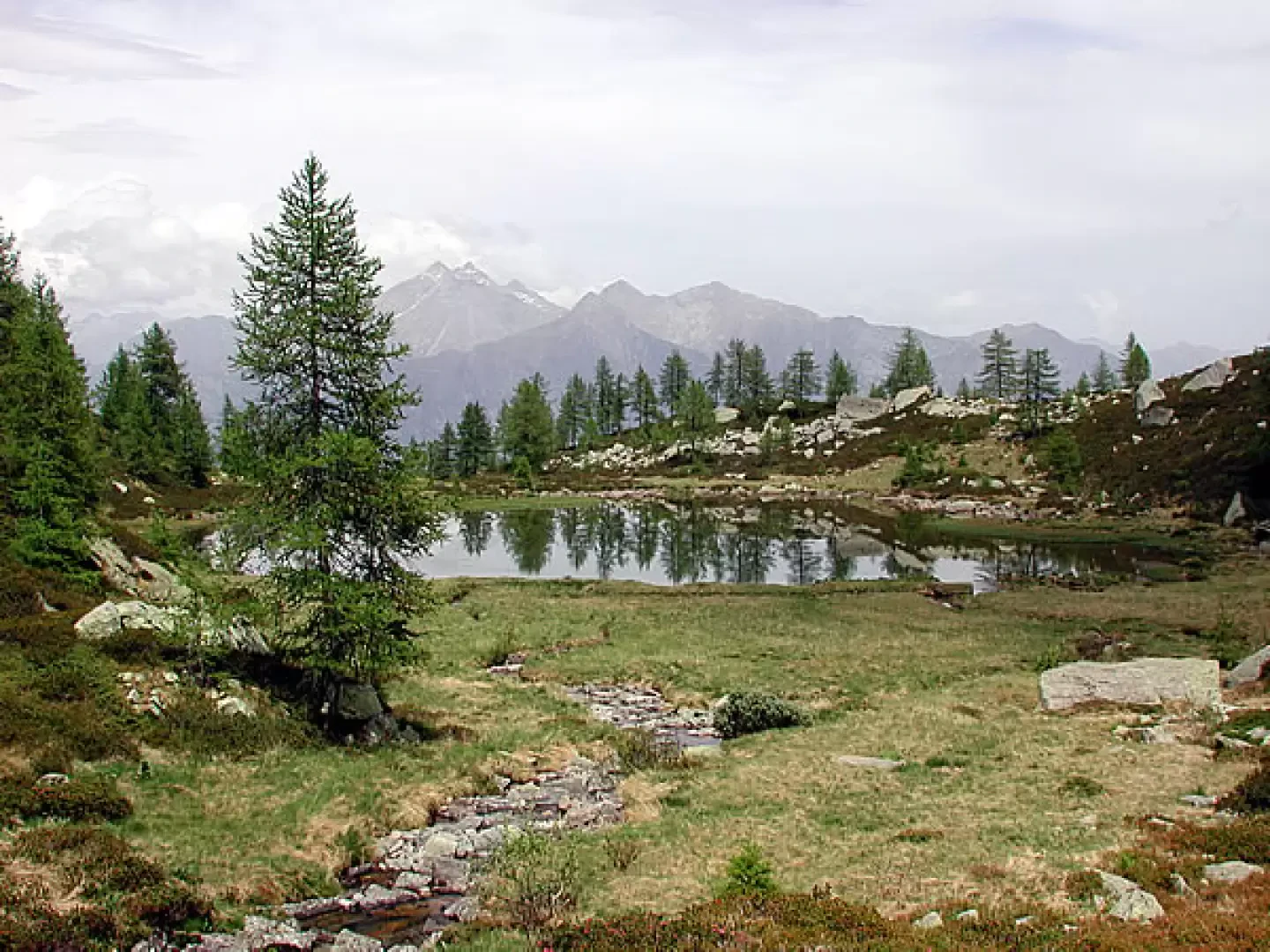
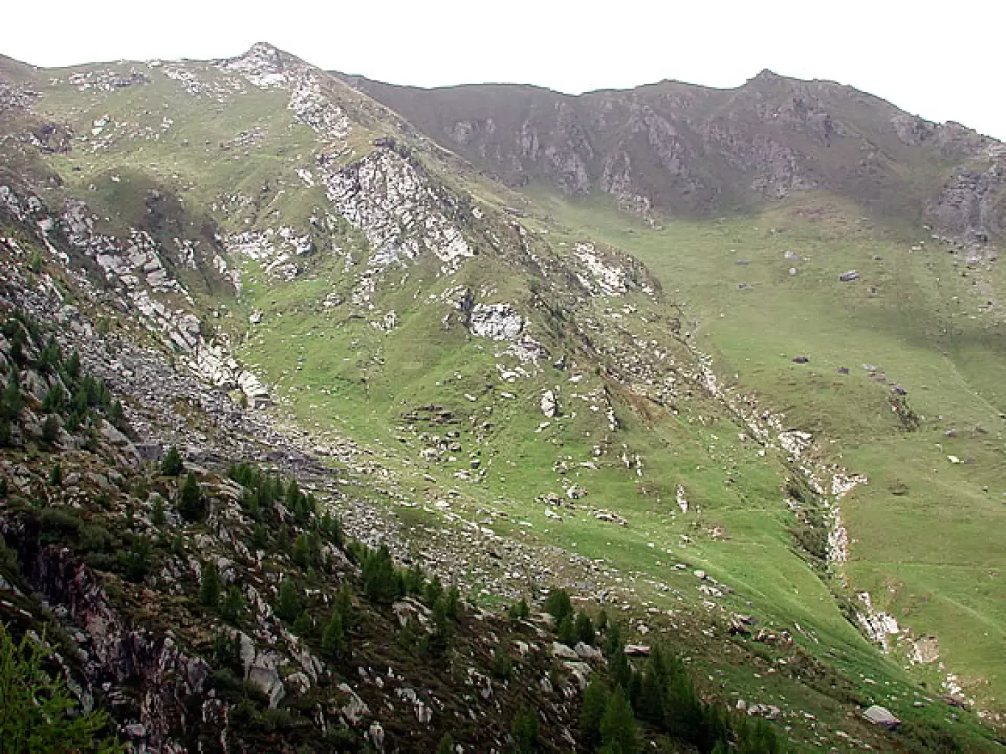
From the lake, retrace your steps to the fork encountered earlier and climb left to the col above. The sign for Lake Champas is on a stone, on the ground, a few metres beyond the fork. Lake Champas is the prettiest of all, surrounded by gentle meadows and larches. The path is lost, but we have verified that there are two possibilities: you can either go around the lake to the left, as far as the tributary, cross it and climb up along the meadow to the saddle above, heading west, until you reach the Chanton alp, now abandoned, or you can reach it by going around the lake and the small promontory in front of us on the right-hand side, looking for the sparse yellow markers. From the saddle, the path is visible: it crosses with slight ups and downs until below the Manda alps, camouflaged among the rocks on the upper left; here the path starts, leading to the Chenessy and Cornuto lakes above. At this point, there are two routes: either follow the obvious water pipes at high altitude until you reach the Croset Damon alp and from here descend to the Boset Damon alp, rejoining the mule track that you climbed in the morning, or look for the scanty signs indicating the little path down to the Chanton alp, and from here cross, on tracks, first over pastures and then through a small larch forest until you reach the Boset Damon alp and the mule track, which you follow back to the car.
Photo gallery

Comments (0)
Sign in to leave a comment