Lilies

Access
At the motorway exit of Ivrea, take the Pedemontana, State Road 565, and at Castellamonte, State Road 460 of Ceresole Reale. Continue through the Orco Valley to Pont Canavese, where you turn towards the Soana Valley along Provincial Road 47. Just before the village of Ronco Canvese you park in a widening near a pair of bridges over the Soana stream.
.Introduction
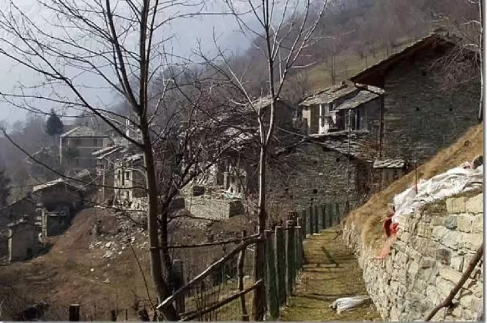
Easy excursion to Tiglietto, a small hamlet of Ronco Canavese, practically an uninhabited village in a beautiful and sunny panoramic position. Tiglietto is the preferred starting point for the excursion to the Canaussa lakes.
Description
From the car park, cross the two consecutive and recently restored bridges over the Soana stream. On the left orographic bank, a beautiful mule track rises, in places stepped, in a beautiful forest of larch, fir and beech trees. On the ascent, which is always gentle, one encounters some votive pillars and nature trail markers. You cross a few streams that descend from the slopes of the Cima Tavorna until, on the left, you come to the signpost for "La vi dle guardie" ("The guards' way"), at about 1165m altitude. The "La via delle guardie", despite being recently restored, is only easily passable up to a small brook; the subsequent turns into the beech forest are impassable due to the numerous trees that have been uprooted by the weather. From the junction with 'La via delle guardie', it takes about 15 minutes to climb to Tiglietto (1247m). It is worth walking through the hamlet of Tiglietto, which is practically split in half by the path to the Canaussa lakes, to get an idea of what life must have been like in the past in these rugged valleys. The return can be made by returning to the beginning of the village and descending along the road, initially unpaved and then asphalted, that descends to the village of Peagni (1135m) and then to Crotto (837m). The road continues down to the valley floor, at an altitude of 776m and the lowest point of the hike, near a bridge over the Soana stream. As an alternative to crossing the bridge to the provincial road, if conditions are right for fording the stream, you can walk along the left orographic side of the valley along the dirt track that ends at the church of San Rocco (803 m). Since the path to Costabina is no longer practicable, from the church one goes in search of a ford on the Soana stream. Go up the opposite orographic side, following the provincial road, and return to Ronco Canavese.
.