Tachuy Lakes, from La Joux car park


Edited by:
Giancarlo Beretta
Updated at: 03/09/2024
Introduction
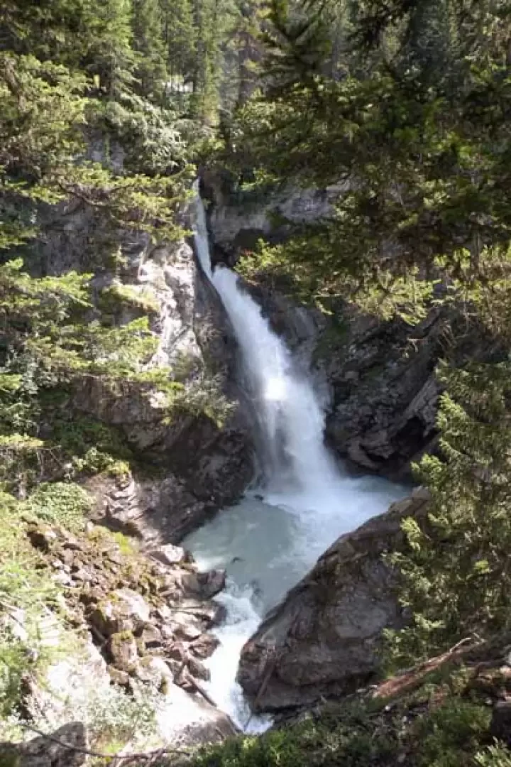
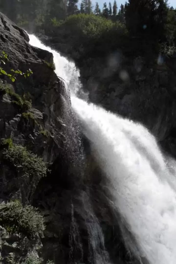
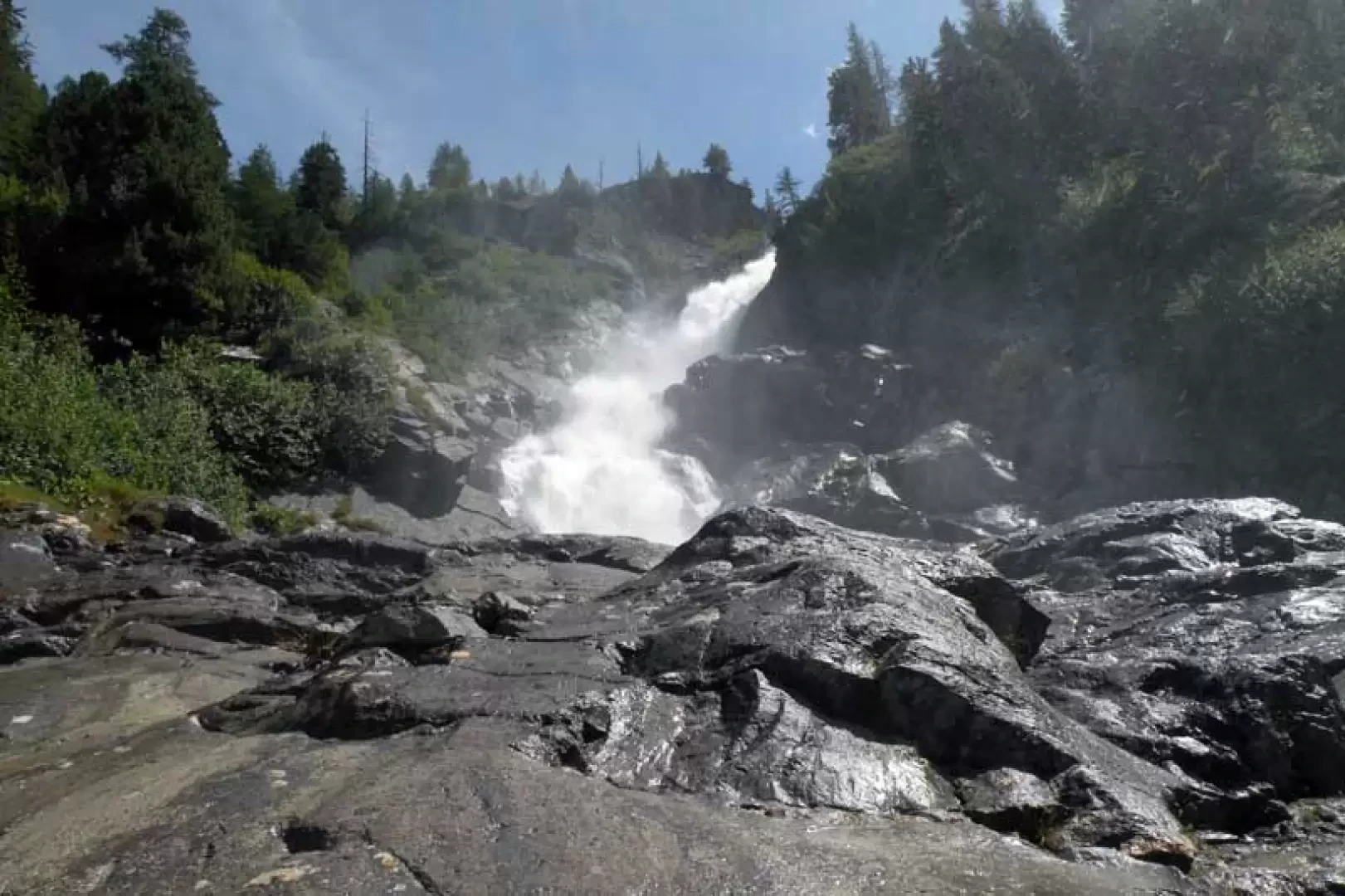
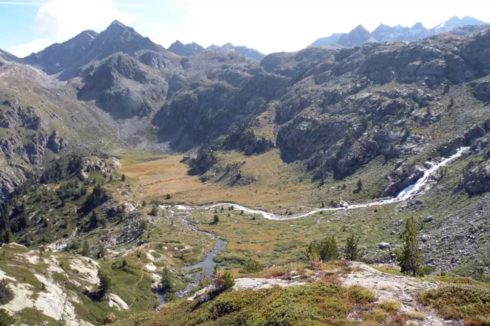
To reach these lakes, follow the shared path to the Deffeyes hut at the beginning and then deviate towards picturesque valleys and, with a scenic route, pass by the Belle Combe lakes; here the path ends but you continue on an evident track where the environment changes decisively, crossing some stony ground and walking on typical high mountain terrain. The three small lakes are in fact situated in solitary places between the moraines and scree sloping down from the slopes of the col and summit of the same name above them. During the ascent or descent, it is certainly worth making a couple of short detours to see the spectacular Rutor waterfalls.
.Description
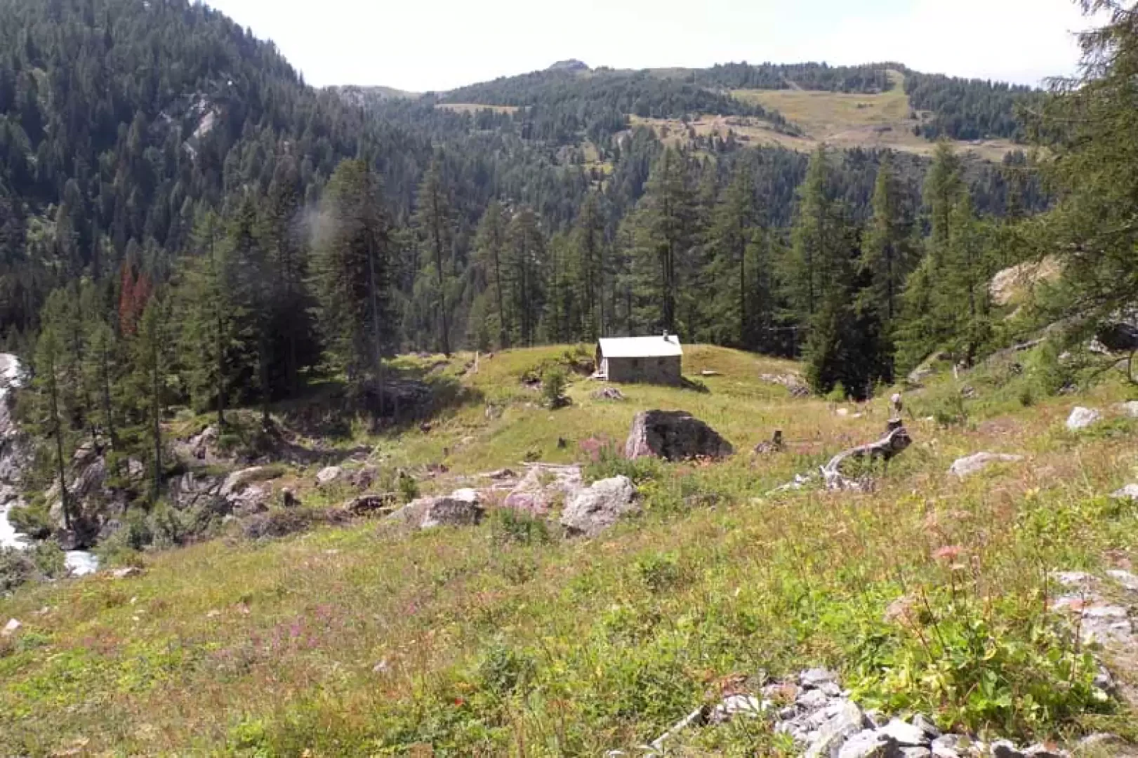
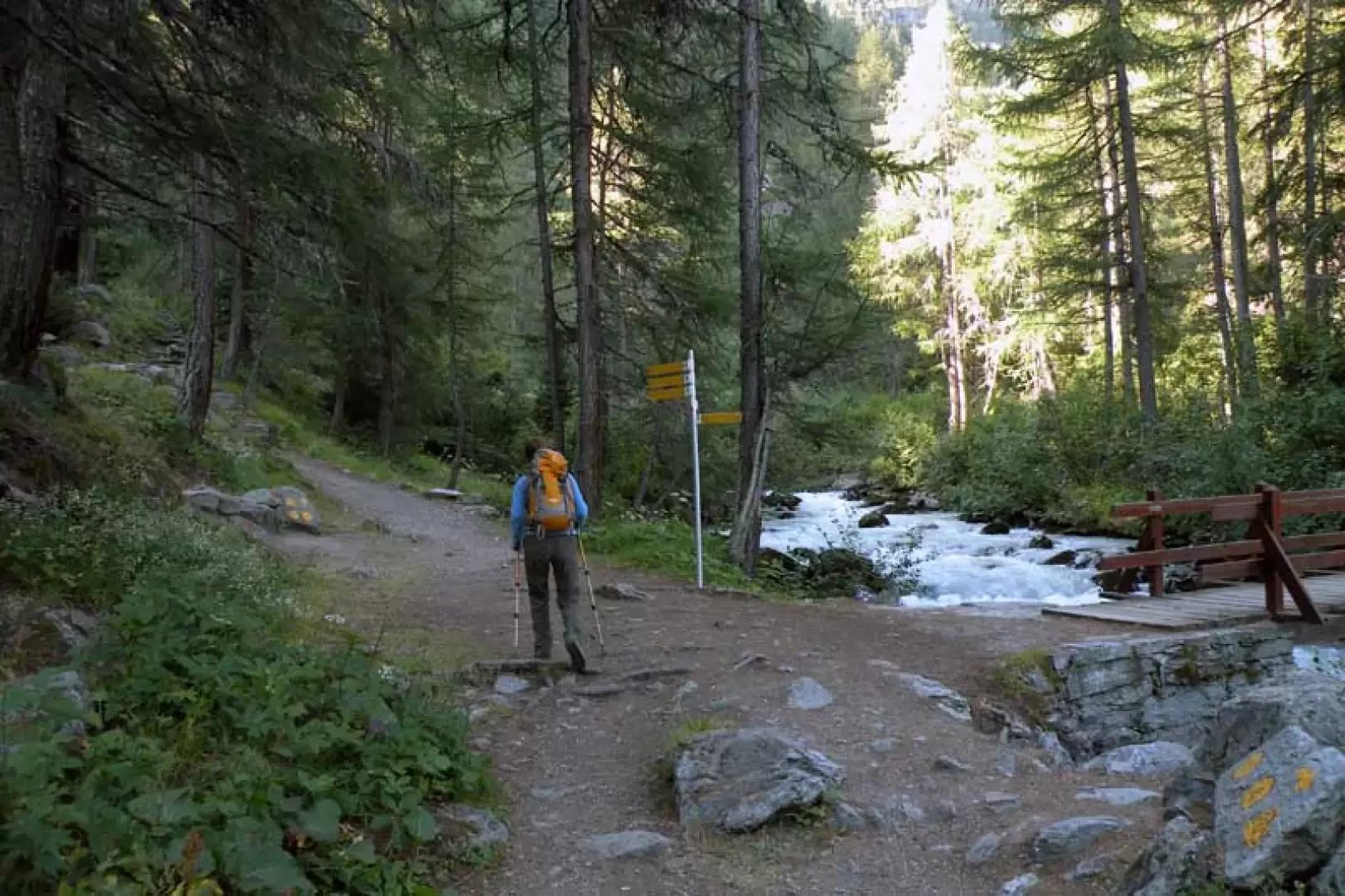
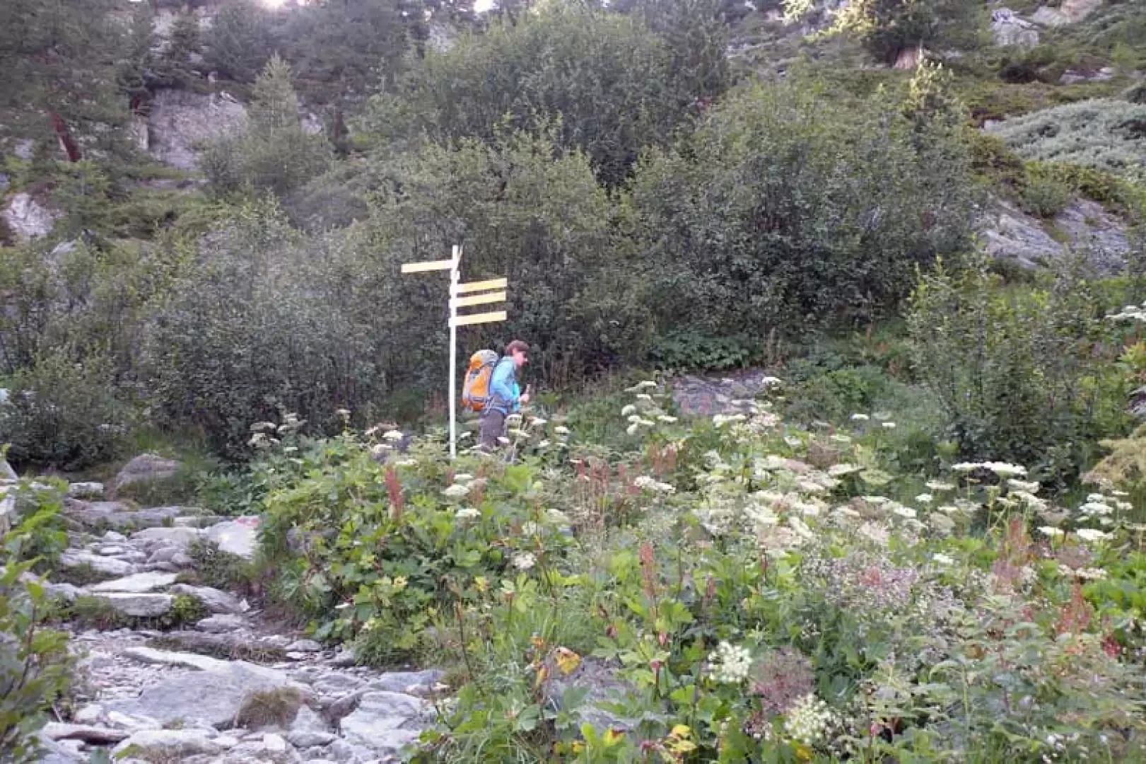
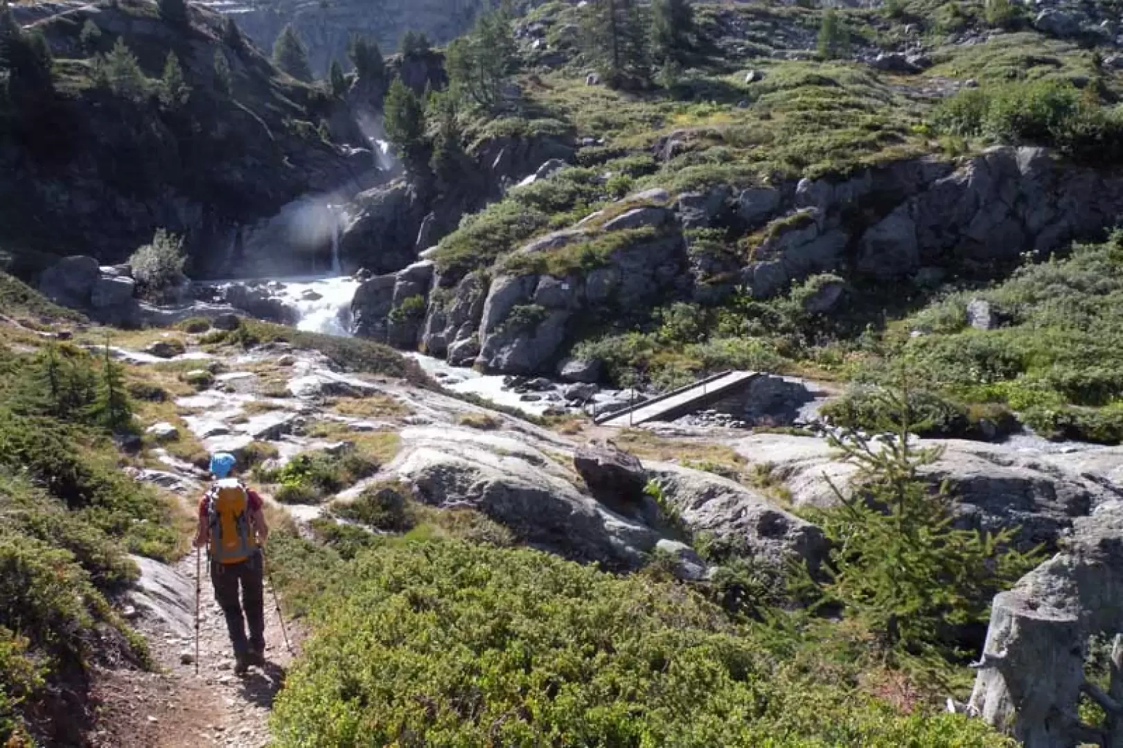
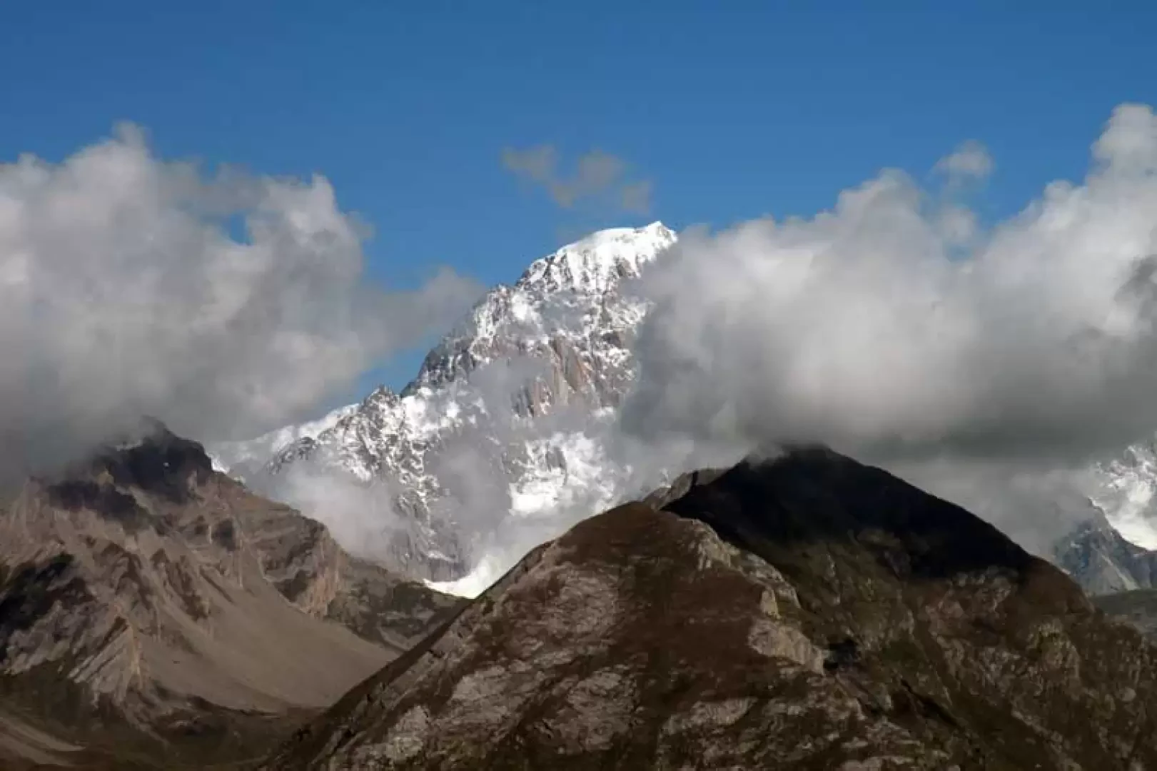
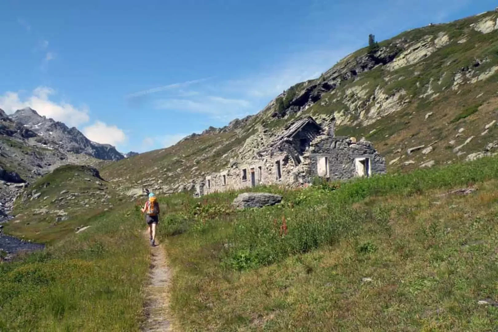
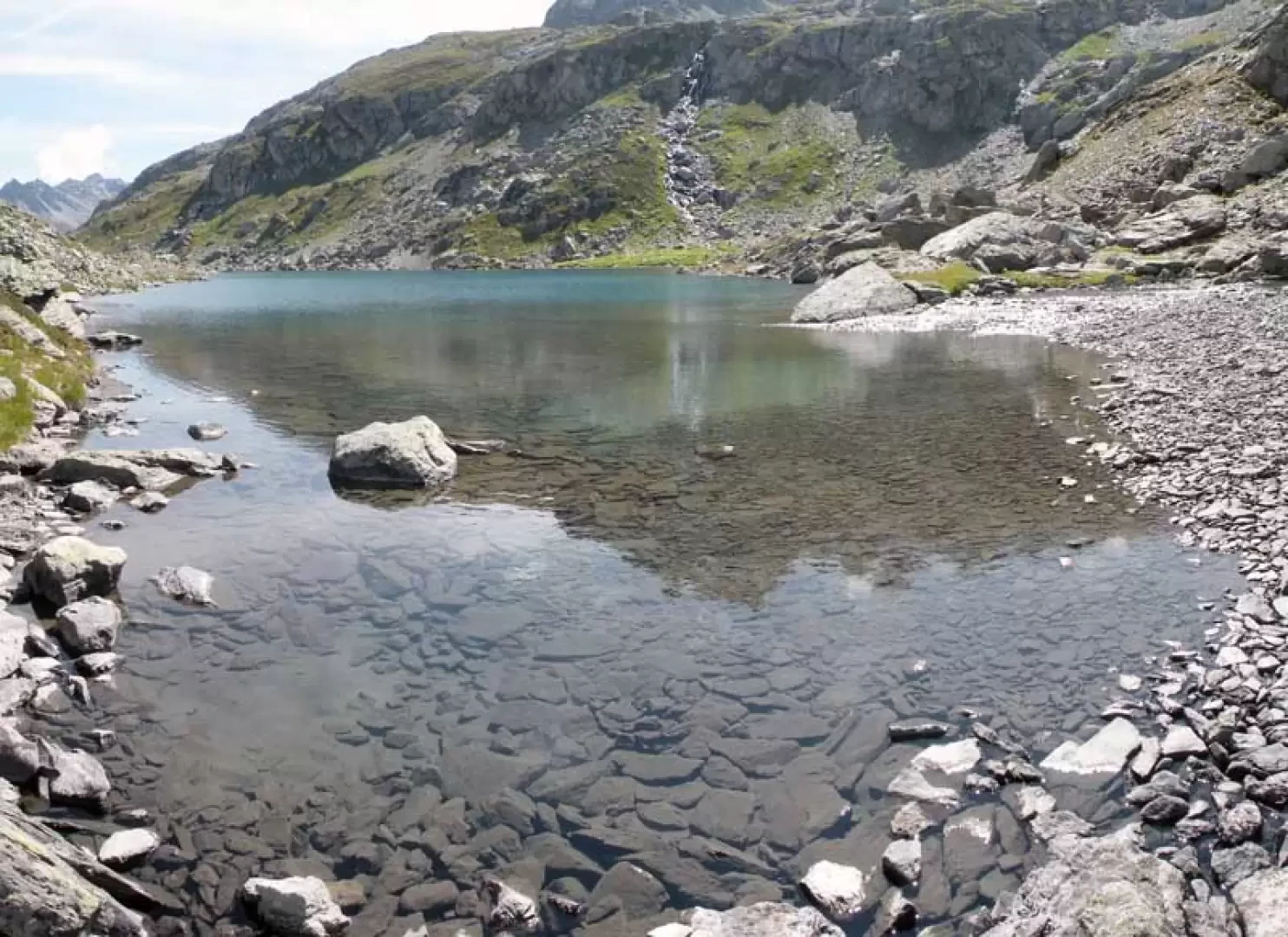
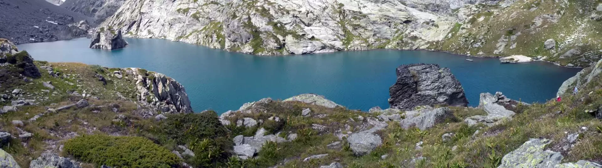
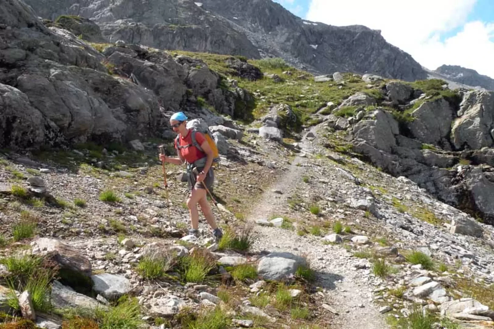
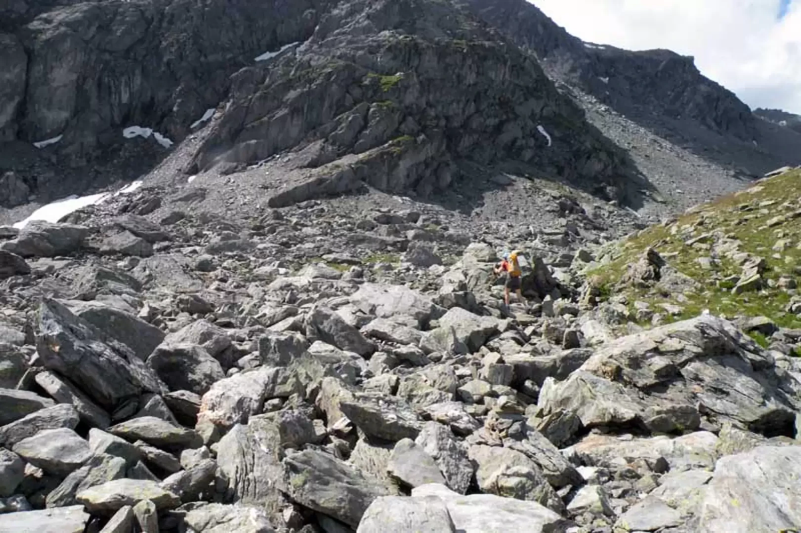
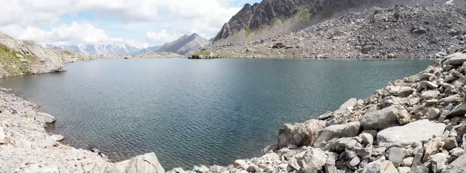
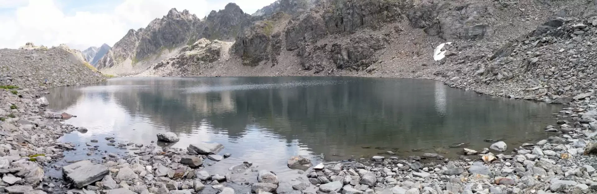
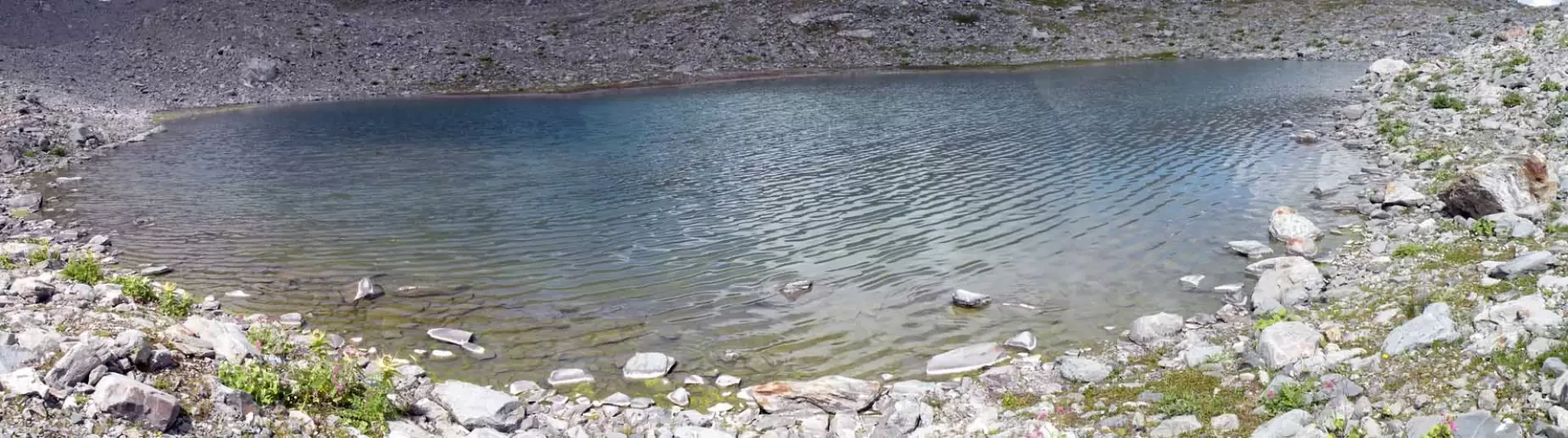
From the car park, reach the route signposts and turn left, taking the wide path bordered by a fence that passes next to a small hut and, immediately afterwards, crosses the stream on a wooden bridge. With an almost straight path with little slope, you arrive at an opening in the forest where you can see the leap of the first Rutor waterfall (1682 m) and from here, continuing into the forest, you come to an open pastureland where the Parcet hut (1778 m) is located, to which you continue by climbing the grassy slope to the left. You will then come to a fork in the road near a bridge with posts next to it (1845 m), at which point you keep to the left and continue along the path, the bottom of which becomes somewhat stony and crosses a stretch of low vegetation; After a few hairpin bends, from which there are beautiful views of the Monta Bianco and adjacent peaks, we turn left at the junction for the second waterfall, which can be seen with a short diversions (1987 m), and at the next junction for the third waterfall, which can also be seen with a diversion of a few minutes (2016 m). After climbing a few hairpin bends, you come to a fork signposted by a signpost (2111 m) at which you turn right to cut across the side of the mountain with a few ups and downs and, after a short semicircle, descend to reach the stream that you cross on a wooden bridge; the path continues in a beautiful little valley arriving at a fork (2166 m) at which you turn left and climb up a grassy ridge at the top of which you can enjoy a beautiful view of the Plan de la Lière below. You then enter the Bella Combe valley and, leaving a track to the left (2218 m) and passing the ruins of a hut (2315 m), continuing towards the bottom of the valley, you shortly arrive at the first Belle Combe lake (2383 m), which you skirt to the right, walking above it; you then descend a little and arrive in sight of the second lake which, after a short descent, you reach and at whose outlet the path ends (2388 m). After crossing the effluent to the left, continue along a track that rises a little to the side of the lake, arriving shortly at a crossroads (2395 m), at which you keep to the left again and climb up the bumps above with a few hairpin bends, entering a small basin where there is a scree slope that you cross with the help of a few cairns of stones. When you reach the opposite side, you will find the track again, which goes straight up the flank and then, with a few steep hairpin bends from which there is a fine view of the first lake of Belle Combe, reaches a shoulder not far from a small lake that is a little out of the way; the track soon arrives just above the first lake of Tachuy (2557 m) and continues to the right above its banks until it meets a small stream that descends from the right where there is also a little stone cairn (2563 m). Here, abandoning the track, we turn right and after a short ascent over shifting stones we reach the second lake of Tachuy (2579 m), which we contour to the right and, having reached its end, we find the third lake, a little smaller than the previous ones (2581 m).
Photo gallery


Comments (0)
Sign in to leave a comment