Gorzente lakes, from the Praglia plans

Edited by:
Maurizio Loconti
Updated at: 03/11/2025
Access
From the Bolzaneto tollbooth, go up to Pontedecimo, where you turn off for Campomorone. After passing this village, head towards Praglia and, after the sign for the provincial road at km 9, past a sharp bend, you will find several places on the left-hand side of the road at 690 m.
.Introduction
The Gorzente lakes are known, excursionistically speaking, for their very characteristic nature trail, and there are many reports about it on the web. A simpler approach with very little difficulty is also possible, and this is precisely what is discussed here.
Description
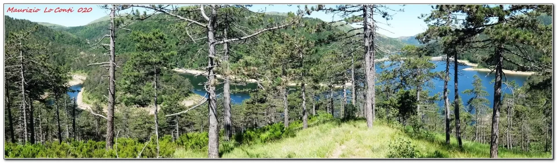
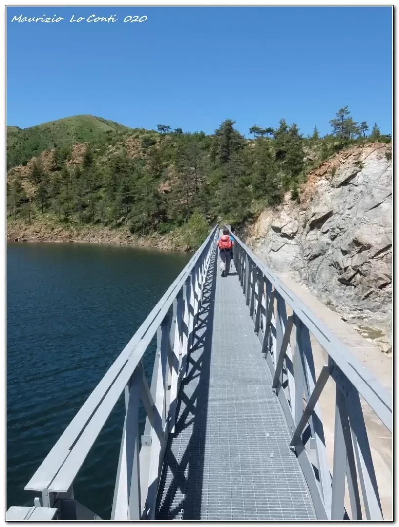
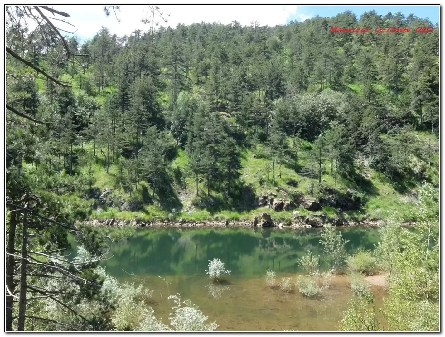
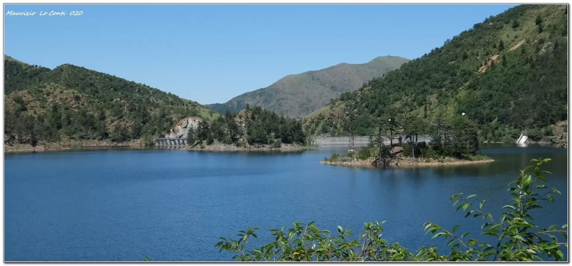
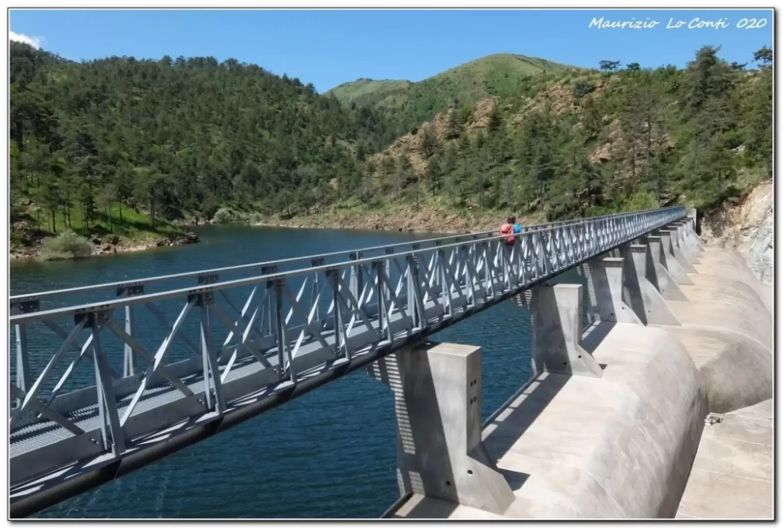
After leaving the vehicle, climb up for a few metres until you find a diversion on the right signposted 'i martiri di passo Mezzano'. The route runs along a wide track, partly cemented, partly unpaved, and may be disturbed by the passage of a few cars. It climbs a little steeply, crossing the nature trail from Giogo di Paravanico. You gain a little more altitude, touching 820 m. After 45 minutes, there is a barrier preventing further car access and then a steep descent begins to skirt Lake Lungo. On the left is the dam (which cannot be crossed on foot) and we continue until we pass the 'guardians' house'. Further on there is a fork with a bridge that allows you to cross Lake Bruno (this is the return), but you go straight on until a second house with some benches and a 40' fountain. On the right, the road continues along the various bends of the lake. The dam can be crossed and another very characteristic bridge leads to a path from which the bank of the former Badana lake can be seen. Continue until you reach the cart track, which quickly (even with a short, dark tunnel) leads to the bridge seen earlier. After crossing it, you can stop for a break in the area of the house with the benches by the lake (1h15).
After the break, retrace the morning route with a couple of steep climbs until the final descent to the car (1h20).
In short: diff. T, difference in altitude 300 m almost all on a dirt track so very very easy, approx. 4h total, 12 km, very hot in places.
Best period: from spring to autumn, avoiding the hottest days.
NB: in the event of an excursion, always check with FIE, Cai, any park authorities or other institutions, pro loco, etc., that there have been no changes that have increased the difficulties! No liability is accepted. This text is purely indicative and not exhaustive.
as well as the usual pdf with some other info:
http://www.cralgalliera.altervista.org/LaghiGorzente020.pdf
http://www.cralgalliera.altervista.org/anno2020.htm
http://www.cralgalliera.altervista.org/altre2020.htm
General Information
Trail: from the Praglia plans
Signposts: Fie and Cai, with stretches without symbols
Type of route:circular
Recommended period: April, May, June, September, October
Exposure to the sun: south
Objective Danger:none
Exposed Tracts:none
Useful Equipment:normal daily hiking equipment
Water: n.r.
Galleria fotografica