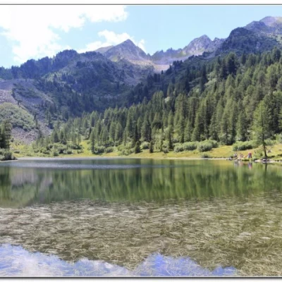
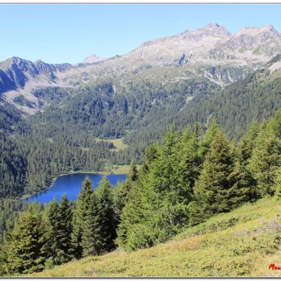
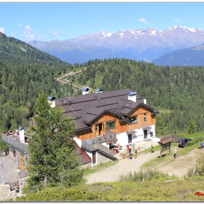
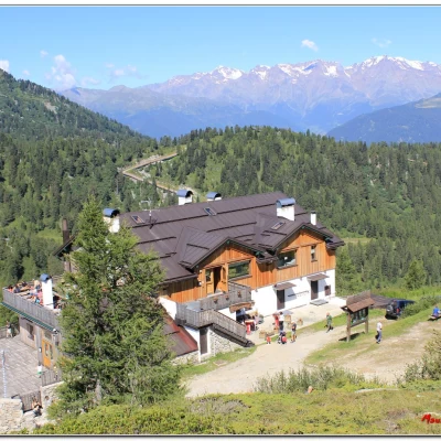
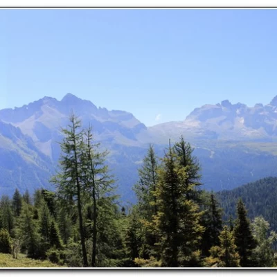
Malghetto di Mezzana lakes, from Rifugio Albasini
Access
From the Val di Sole, one goes up to the village of Folgarida.
Introduction
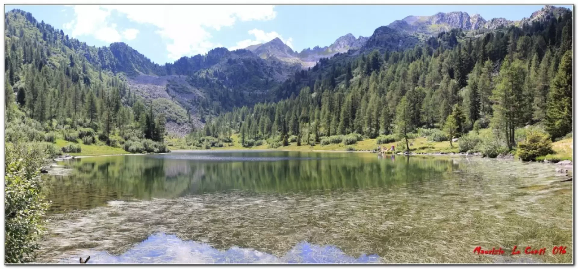
Interesting tour leading to the discovery of two beautiful Alpine lakes.
Description
0h00' In Folgarida, take the lift that leads to Rifugio Albasini (1860m) and from there go up the main slope skirting Rifugio Solander (2045m).
0h40' Continue until you see the Malghette lake and pass by Rif. Orso Bruno (2200m).
1h10' Then you go down from the Bassetta della Viga (2100m) and turn for the Malghetto lakes, Marilleva 1400 and the Catturani path. You continue for a few minutes and then at the next fork you ignore the Lago Alto and Tre Laghi path, turning right uphill and then with a couple of ups and downs you pass a Dos de la Presa (2110m), where you turn left and lose metres steeply (better to use poles).
1h55' During the descent, you can see the two lakes of the Malghetto di Mezzana several times from above. You skirt the lower body of water (2001m). At a votive pillar, turn left and climb up to the second lake at (2023m) 2h30'.
More alternative returns are possible, but in this case we suggest the outward route with a similar distance 2h15'
Photo file pdf, with a little more information:
http://cralgalliera.altervista.org/Flgd/Trentino016A.pdf
http://www.cralgalliera.altervista.org/anno2022.htm
http://www.cralgalliera.altervista.org/altre2022.htm
NB: In the case of an excursion, always check with FIE, Cai, any park authority or other institutions, pro loco, etc., that there have been no changes in the itinerary, that there have been no changes that have increased the difficulties! No liability is accepted. The present text is purely indicative and not exhaustive.
Info Hiking Section Cral Galliera: http://www.cralgalliera.altervista.org/esc.htm
Trips 2022 at the link: http://www.cralgalliera.altervista.org/gite022.pdf
General information
Signage: SAT
Type of route: a/r
Recommended period: June July, August, September
Sun exposure:east
Objective hazard:none
Exposed sections:none
Useful equipment:normal equipment and clothing for day hiking
Water:not detected
