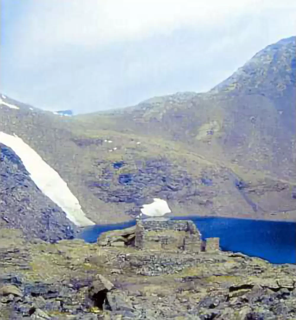
Autaret Lakes, from the Vulpot Refuge

Introduction
A very long itinerary that follows an ancient route that was already in use in Roman times: the Autaret Pass, located upstream of the lakes, is in fact the only pass through France without glaciers and was a little frequented and less controlled secondary passage than the nearby Moncenisio. In Roman times, a trans-Alpine road connecting the Gauls passed through here, which in the Middle Ages was travelled by mail on horseback. Some scholars of the history of the Lanzo Valleys claim that the Holy Shroud passed through here in 1578, before being transported to Turin by decision of Emanuele Filiberto of Savoy: the hypothesis is supported by the fact that at that time the Susa Valley was travelled by Huguenots and the Aosta Valley by Calvinists. During the last world war, the pass was garrisoned: grids, trenches and barracks are still visible. The Autaret lakes are quite extensive and are the highest in the Lanzo Valleys. The itinerary is recommended for well-trained hikers and experts in high altitude terrain, as the path is sometimes not very evident.
Description
Follow the right bank of the lake and, after the Vulpot hut and the new public services building, take a paved path that climbs a steep slope with wide bends. With an exceptional view of the Rocciamelone (3538m) and, on the left side, of the basin of the Malciaussia Lake, you reach Pian Sulè (2526m, 2h15') where, at a not very evident fork (signs on a rock), continue to the left and follow the signpost that leads to Colle di Spiol (2600m), passing halfway up the slope under a rock rampart. From here, the route becomes steeper and, between small valleys bordered by spurs and rock steps, you enter into view of the highest lake (2985m, 4h00'); a 10-minute walk takes you to the Autaret pass, from where you can enjoy a magnificent panorama of the Valle de la Lombarde on French territory. The landscape is particularly interesting and unusual for a lacustrine environment: the stretches of water lie in the nival horizon (over 2800m) on a rocky terrain made up of calcareous schist, which is poorly resistant to atmospheric agents and easily disintegrated, giving the area an almost lunar appearance. The vegetation is mainly represented by algae and lichens, which give the rocks a different shade of colour from the original one.
Descent
From the upper lake, proceed downhill on the right, following the signpost for the Cibrario Refuge (parallel to the path taken on the ascent, but on the opposite side of the rocky rampart), until coming out of a narrow passage bordered by high rocks. Skirt the larger lake (2960m) with another basin next to it (2965m); descend further to reach the smaller body of water (2875m). From here continue and, near a fork, turn right in the opposite direction to Punta Sulè and the Lera: skirting some rocks, briefly return to the ascent route.